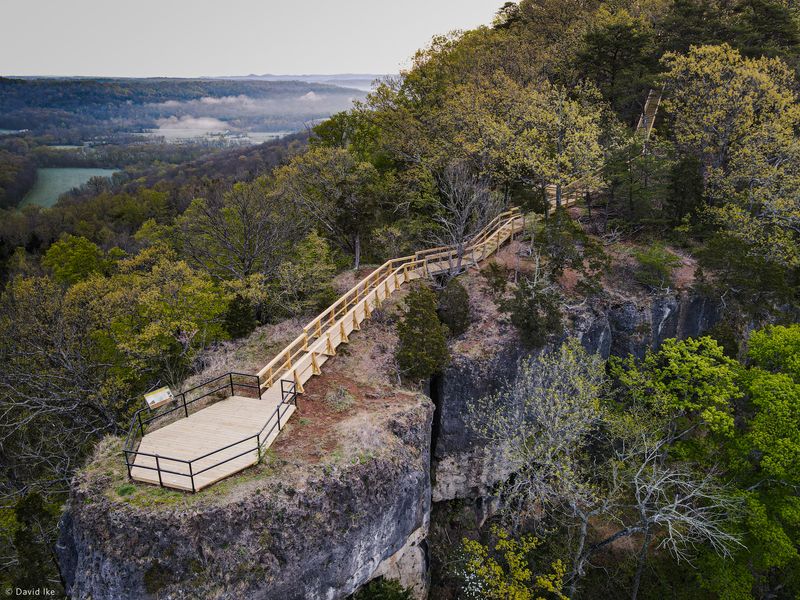
These Ohio Trails Somehow Stay Off Tourist Radars (And That Is A Shame)
My favorite Ohio hikes start the same way, with a “quick walk” plan and a backpack that somehow thinks it is moving in permanently.
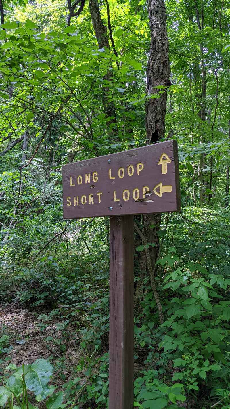
These 14 trails are the kind of off-the-radar routes that make you whisper, “How is this not the headline act.” If you love quiet woods, big views, and a parking lot that is not auditioning for a traffic documentary, this list is your new game plan.
I have learned that Ohio keeps its best scenery tucked behind humble trailheads, where the only hype comes from leaves crunching under your boots. One minute you are threading through old forests and rocky corridors, the next you are staring at overlooks that deserve their own fan club.
Lace up, bring snacks, and prepare to feel smug in the best possible way.
1. Wildcat Hollow Trail – Wayne National Forest, Near Corning
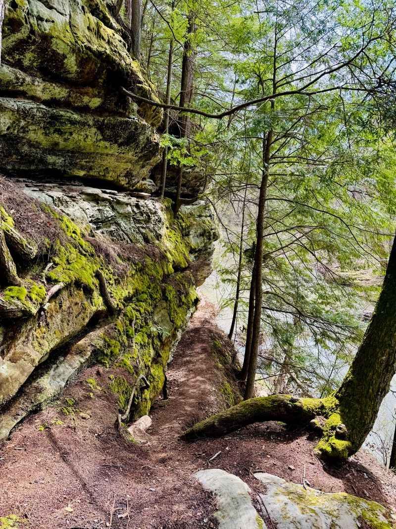
Arriving at Wildcat Hollow often means finding an empty parking lot, which signals the kind of peaceful hiking experience most people crave but rarely find.
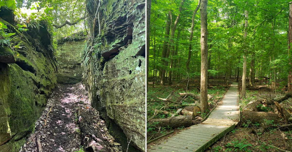
This loop in Wayne National Forest offers both a shorter 5-mile route and a full 15-mile version, each winding through dense forests, babbling streams, and rolling ridgetops that feel refreshingly distant from crowded state park lots.
The terrain stays manageable without becoming boring, mixing in enough roots, rocks, and elevation changes to keep your attention focused on the trail ahead.
Backpackers favor this spot for easy overnight trips, a testament to the friendly tread and genuine wilderness atmosphere, complete with primitive campsites scattered along both loops.
You will find trail access at Wildcat Hollow Trailhead on Sunday Creek Road near Corning, Ohio 43730, tucked just north of Burr Oak State Park where cell service vanishes and birdsong becomes the soundtrack.
2. Archers Fork Trail – Wayne National Forest, Near Matamoras
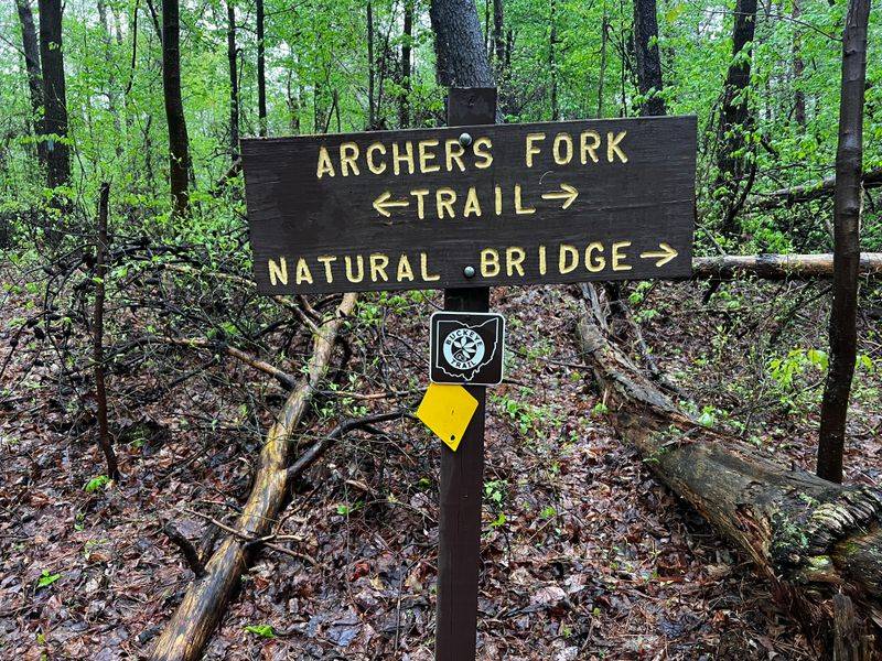
Archers Fork earns its reputation as beautiful but demanding, refusing to hand out scenic rewards without a bit of sweat and effort.
This rugged 13 to 14-mile loop cuts through the Marietta Unit of Wayne National Forest, delivering long climbs, rocky footing, and enough ups and downs to satisfy hikers who secretly enjoy tired legs at the end of a long day.
What keeps adventurers returning are the hidden treasures tucked into the hills, including the Irish Run Natural Bridge and a massive rock shelter known locally as the Great Cave.
Portions of the route overlap with the Buckeye Trail and North Country Trail, so blue and yellow blazes often appear together on tree trunks as you navigate hollows, creeks, and towering sandstone walls.
The journey begins at a small, quiet parking area beside St. Patrick’s Cemetery on Township Road 411 near Matamoras, Ohio 45767, a trailhead that feels remote before you even take your first step into the woods.
3. Lake Vesuvius Lakeshore Trail – Wayne National Forest, Near Ironton
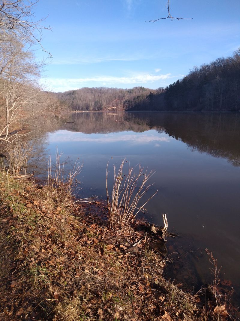
When big views without big crowds sound ideal, circling Lake Vesuvius becomes the perfect solution for a day on the trail.
The Lakeshore Trail stretches roughly 8 miles around this long, narrow lake in the Ironton District of Wayne National Forest, featuring steady rollers, brief climbs, and constant glimpses of shimmering water peeking through the trees.
Wooden bridges span creeks feeding the lake, and quiet coves invite pauses to watch reflections dance across the surface. Ambitious hikers can connect to the 16 to 17-mile Vesuvius Backpack Trail, which ventures deeper into the surrounding hills for a more challenging loop that still avoids most tourist itineraries.
Trail access is straightforward from the Lake Vesuvius boat ramp parking area in the Lake Vesuvius Recreation Area near Ironton and Pedro, Ohio 45638, where you pick up the shoreline path and follow it all the way around the water’s edge.
4. Pine Ridge Trail – Lake Katharine State Nature Preserve, Near Jackson
Stepping onto the Pine Ridge Trail at Lake Katharine feels like entering a hidden pocket of Appalachia that forgot to advertise itself to the outside world.
This roughly 2 to 2.5 mile loop climbs to ridgetops scented with pine, then descends into a small gorge where sandstone cliffs, hemlocks, and spring wildflowers create a quietly dramatic landscape.
Lingering near the overlooks above Lake Katharine rewards you with views of the shoreline curving below the bluffs, especially when fall color sets the hillsides ablaze in the most spectacular way. The trail turns steep in a few stretches, but nothing a reasonably fit hiker cannot handle with sturdy shoes and unhurried pacing.
You reach the preserve from the Lake Katharine parking area off Lake Katharine Road near Jackson, Ohio 45640, where a simple trailhead sign leads you into one of southern Ohio’s most underrated natural landscapes.
5. Jacob’s Ladder & Valley View Trails – Christmas Rocks State Nature Preserve, Near Lancaster
Needing a workout with a worthwhile payoff leads many hikers to the backroads south of Lancaster and straight toward Christmas Rocks. Linking the Jacob’s Ladder and Valley View trails creates a route of roughly 4 to 5 miles, blending forest strolls, ridge walking, and a stout climb that earns sweeping views of rolling farmland and wooded hills below.
The overlook feels surprisingly wild considering its proximity to town, and more than once, silence reigns except for wind rustling through branches and the occasional crow calling overhead.
Most visitors still flock to the bigger names in Hocking Hills, which leaves these ridges to hikers who do not mind a few extra minutes of country driving.
Trail access sits at the small gravel parking lot for Christmas Rocks State Nature Preserve near Lancaster, Ohio 43130, marked by signs along the rural roads threading between Sugar Grove and Amanda.
6. Rhododendron Cove Trail – Rhododendron Cove State Nature Preserve, Near Sugar Grove

Rhododendron Cove delivers that coveted Hocking Hills atmosphere without the hassle of weaving through throngs of tourists snapping photos.
The main loop runs just over a mile, but including the approach from the parking pull-off and side stretches extends the journey closer to 2 miles of hiking that feels pleasantly remote and steep enough to count as genuine exercise.
A rocky climb leads to a narrow ridge offering views over the Hocking River valley, while evergreen rhododendrons cluster along the slopes and lend the gorge a distinct mood compared to nearby parks.
Late spring visits reward hikers when everything turns deep green and blooms begin appearing, transforming the hillsides into a quiet garden perched high above the highway.
You will find the tiny parking area off Pump Station Road near Sugar Grove and Lancaster, Ohio 43130, with a short connector leading into the preserve and up toward the ridge.
7. Buckeye & Ridge Trails – Boch Hollow State Nature Preserve, Near Logan
Boch Hollow serves as the destination for hikers seeking hills, ponds, and a few surprises without any fanfare or tourist hype. The preserve protects over 600 acres and offers about 7 miles of trails, with the Buckeye, Ridge, Meadow, and Pond routes combining into custom loops that can be as gentle or as ambitious as energy levels allow.
Some stretches wander across fields and ponds, while others follow the Buckeye Trail along wooded ridges that climb just enough to get lungs working without overwhelming stamina.
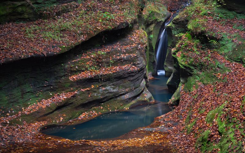
Boch Hollow also harbors Robinson Falls, a canyon-style waterfall requiring a special access permit, a detail that keeps visitation lower and helps the entire place maintain its quiet character.
Most hikers start at the North Trailhead at 7000 Beach Camp Road, Bremen, Ohio 43107, where a small gravel lot and simple kiosk mark the entrance to one of Hocking County’s most overlooked preserves.
8. Hemlock, Fern and Creekside Meadows Loop – Clear Creek Metro Park, Near Rockbridge
Clear Creek Metro Park ranks as the spot to recommend when someone wants Hocking Hills-level terrain that somehow dodges most tourist lists.
One favorite route links the Fern and Hemlock trails with a short section of Creekside Meadows for a roughly 4.2-mile loop that climbs steep ravines, crosses ridges, and then cools down along the creek.
The Hemlock Trail descends and ascends through shady groves and sandstone outcrops, while the Fern Trail clings to a ridge that feels surprisingly wild for a metro park. By the time you stroll the last stretch beside Clear Creek, the experience often feels like spending the day in a much larger mountain park.
Start from the main Clear Creek Metro Park parking area near Rockbridge, Ohio 43149, where signs point toward Fern, Hemlock, and Cemetery Ridge, allowing you to tailor the loop to your energy level and available time.
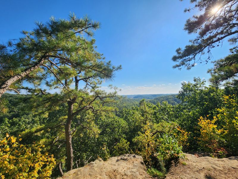
9. Buzzardroost Rock Trail – Edge of Appalachia Preserve, Near West Union
Every hike to Buzzardroost Rock ends with far more time spent at the overlook than originally planned, thanks to views that refuse to be rushed.
This out-and-back route runs about 4.4 miles with moderate elevation gain, climbing steadily through prairie patches, forest, and springs before reaching a long sandstone promontory overlooking the Ohio Brush Creek valley.
The panorama stretches across layered hills that feel more Kentucky than the Ohio most people picture, and complete quiet often accompanies sunny afternoons spent soaking in the scenery. Along the way, spotting wildflowers and grassland birds thriving in the preserve’s carefully managed prairies adds extra interest to the journey.
Trail access sits at the Christian and Emma Goetz Buzzardroost Rock Preserve parking area off Waggoner Riffle Road near West Union, Ohio 45693, where a modest sign conceals one of the state’s most impressive panoramas waiting at the trail’s end.
10. Lynx Prairie Loop – Edge of Appalachia Preserve, Near Lynx
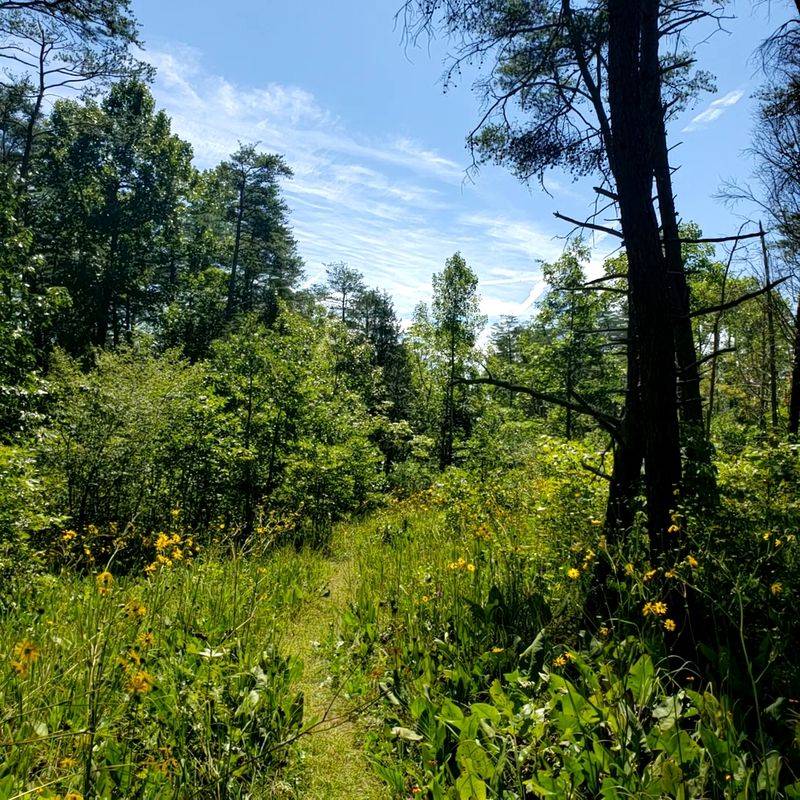
Lynx Prairie feels almost secret, even among hikers who have already discovered Buzzardroost Rock and other Edge of Appalachia treasures. The main loop measures around 1.6 miles and wanders through a patchwork of small prairies and oak woods harboring rare plants usually associated with regions much farther south.
Short spur loops allow you to extend the walk slightly, and each opening in the trees reveals a different combination of grasses, wildflowers, and low shrubs. The trail feels gentle underfoot yet still delivers that sense of being somewhere ecologically special, the kind of place botanists whisper about with genuine excitement.
You will find Lynx Prairie Preserve near the tiny community of Lynx, close to West Union, Ohio 45693, with a small trailhead and kiosk marking the start of this quietly extraordinary loop through one of Ohio’s most unique ecosystems.
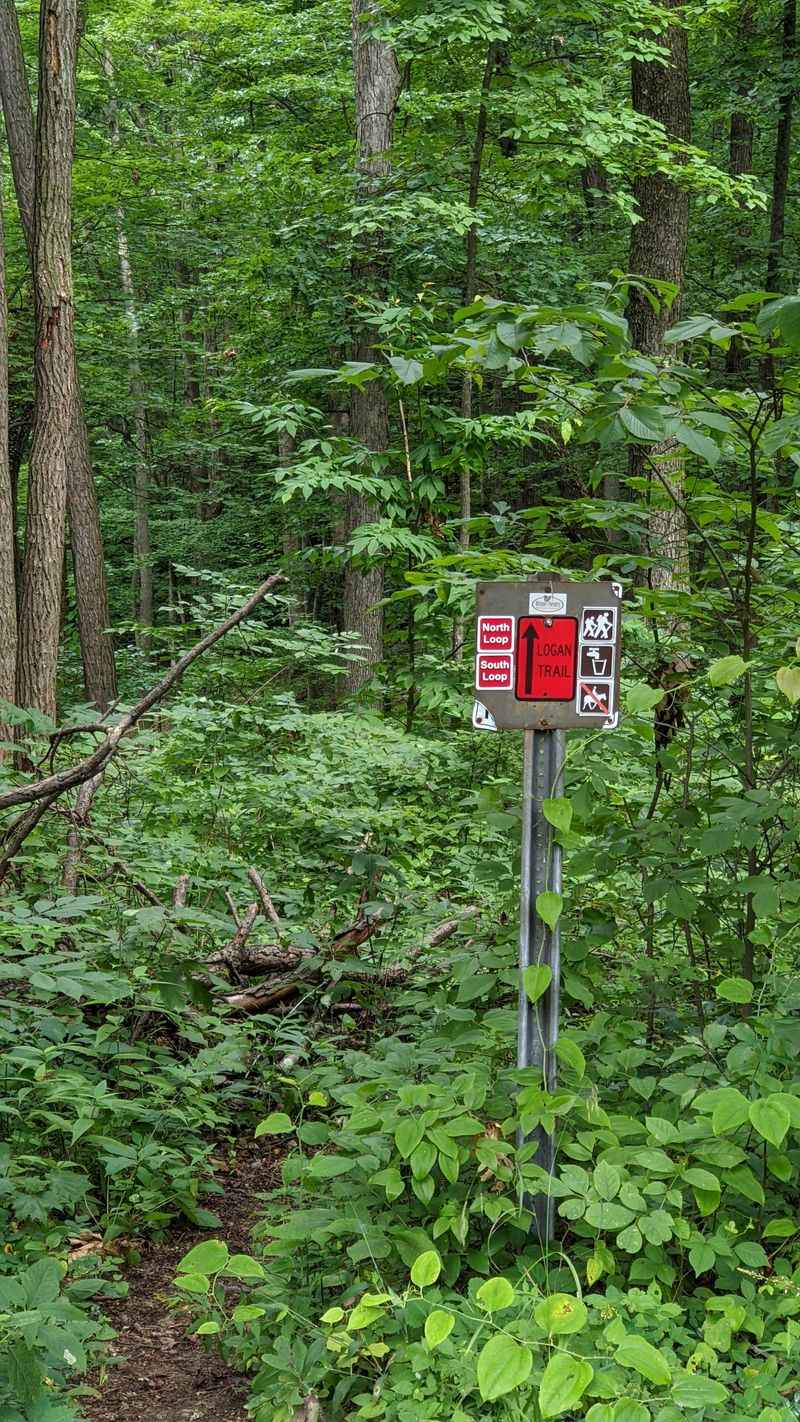
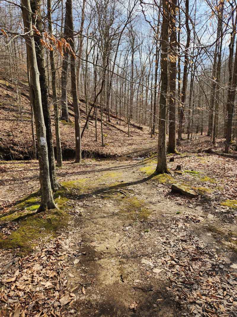
11. Logan Trail – South Loop, Tar Hollow State Forest
Wanting a longer day that rarely crosses paths with casual hikers makes driving into Tar Hollow and picking up the Logan Trail an easy choice.
The full Logan system makes an 18 to 22-mile backpacking circuit, but the South Loop alone measures around 8 to 9 miles, winding through hollows, over narrow ridges, and past the occasional forest service road.
This moderate to difficult route features leaf-covered tread, downed logs, and sometimes faint footpaths demanding more attention than your average park trail. That extra effort pays off in genuine solitude, especially on weekdays when the only sounds come from woodpeckers and rustling leaves.
Most hikers start from near the fire tower and parking area inside Tar Hollow State Park and State Forest, south of Laurelville and east of Chillicothe, Ohio, following red blazes marking the Logan Trail through the remote hills and hollows.
12. Shawnee Forest Day Hike East Loop – Shawnee State Forest, Near West Portsmouth
Shawnee’s day hike loop offers the perfect way to sample Ohio’s little Smoky region without committing to the full 40-mile backpacking circuit. The East Loop day hike trail covers about 7.2 miles, following blue blazes over long ridges, down into hollows, and past dense hardwood forest that feels worlds away from the nearest town.
No single viewpoint steals the show here, but the steady sequence of climbs, descents, and ridge walks adds up to a very satisfying day on the trail. Hikers often report surprisingly empty paths despite the impressive scenery, which fits perfectly with the theme of trails staying strangely off the main tourist radar.
Access comes from Shawnee State Park near West Portsmouth, Ohio 45663, where signs point toward the Shawnee Forest Day Hike Trail loops sharing terrain with portions of the larger backpacking network threading through the forest.
13. Johnson Woods Boardwalk Trail – Johnson Woods State Nature Preserve, Near Marshallville
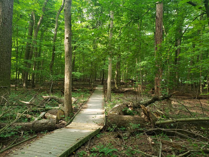
Trading hills for towering trunks at Johnson Woods becomes the perfect choice on days when something gentle yet special sounds appealing.
This old growth preserve near Marshallville protects one of the largest remaining hardwood forests in Ohio, and a roughly 1.4-mile mostly boardwalk loop lets you wander through massive oaks, maples, and beeches without trampling the delicate forest floor.
The raised path keeps feet dry and makes this trail accessible to far more people than a rocky hike ever could, which proves ideal when introducing friends to quiet nature preserves. Even on weekends, the parking lot rarely feels overwhelmed, and the mood stays more contemplative than busy.
Trail access sits at the Johnson Woods State Nature Preserve parking area off Fox Lake Road near Marshallville, Ohio 44645, where a small kiosk leads straight onto the boardwalk and into the shade of towering giants.
14. Sugarloaf Mountain Loop Trail – Great Seal State Park, Near Chillicothe
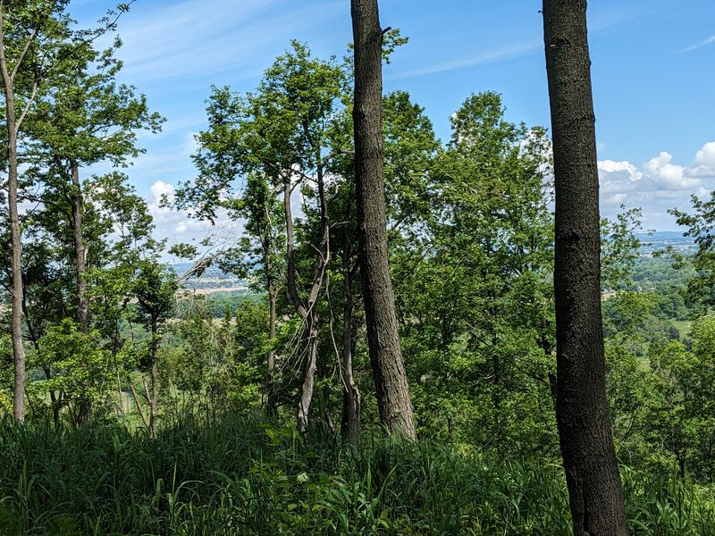
Whenever legs need a short but serious climb, heading for Sugarloaf Mountain at Great Seal State Park provides the perfect solution. The Sugarloaf Mountain Loop spans only about 2 miles, yet packs in a steep ascent that quickly gains the ridge before topping out at a rocky summit with expansive views over the Chillicothe area.
This route often starts with a jacket at the bottom and ends with a T-shirt near the top, followed by time spent soaking up the panorama before easing down the descent.
The surrounding park holds many more miles of trails, but Sugarloaf remains just under the radar enough that quiet moments on the summit often occur even during prime leaf season.
Trail access is from Great Seal State Park near Chillicothe, Ohio 45601, where signs for Sugarloaf Mountain Loop and adjacent routes like Sand Hill and Bunker Hill help you stitch together a custom day among the foothills.