
This Michigan Rail Trail Hides A Peaceful Path Right Beside I-75 Where Most Drivers Never Notice It
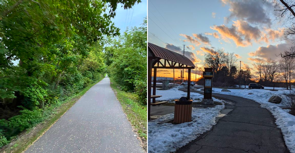
Thousands of drivers pass over it every single day without knowing it is there.
A former railroad corridor converted into a paved trail runs parallel to one of the busiest stretches of highway in the state, separated by nothing more than a wall of mature trees that blocks out the traffic noise and replaces it with birdsong.
The path stretches over two miles between two trailheads, crossing above the interstate on a dedicated pedestrian bridge that feels like stepping into a different world entirely.
The surface is smooth enough for road bikes, strollers, plus inline skates, while benches along the route give runners a place to catch their breath without stepping off the trail.
Parking at the Opdyke Road trailhead is free, the shade is thick, plus a peaceful rail trail in Michigan does not need to be far from the city to feel like it is.
Notice The Railway Bones Beneath The Path
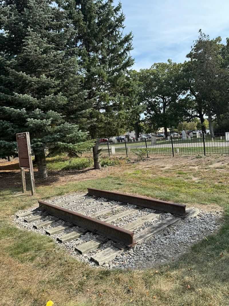
Even when the pavement looks thoroughly modern, the route still reads like railroad geometry. The line was originally built in 1880 to connect Pontiac and Romeo, and trains used it for well over a century before the last freight run in 1998.
Auburn Hills bought this 2.1-mile segment in 1999 and opened it as a public trail in 2003, which explains the unusual straightness and the gentle, engineered grade. In a few spots, old railroad ties can still be seen beside the path.
They are not presented as a museum display, which somehow makes them more persuasive. The trail’s history stays low to the ground, waiting for observant walkers to catch it.
Opdyke Road Is Where The Trail Starts Acting Official
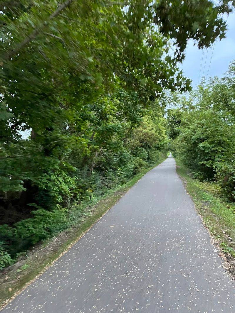
The Auburn Hills section of the Clinton River Trail runs between Adams Road and Opdyke Road in Auburn Hills, Michigan. Instead of aiming for one street address, use the Opdyke Road trailhead as the easiest place to land by car.
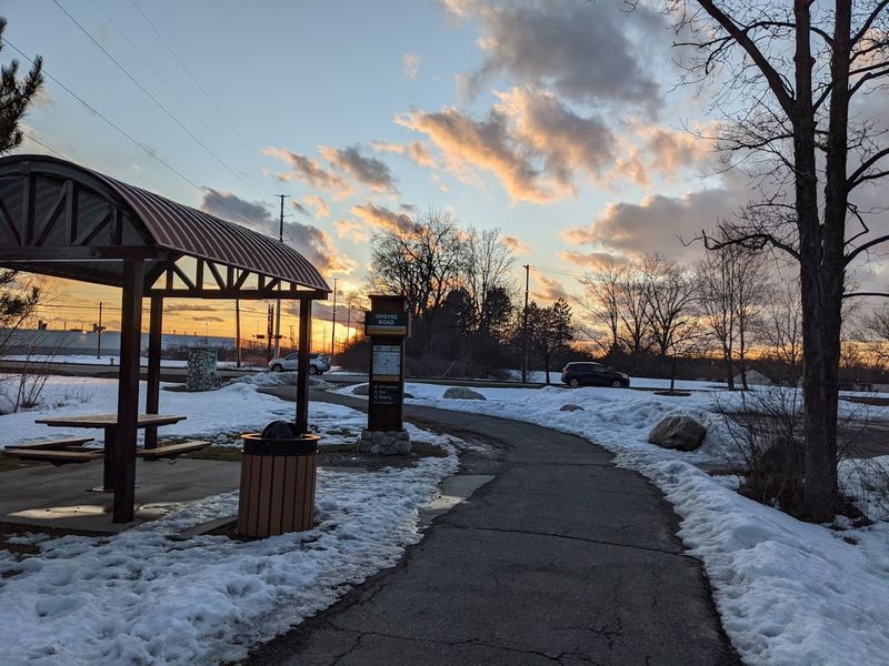
The trailhead sits off Opdyke Road between Auburn Road and South Boulevard, giving walkers and cyclists a clear access point before the path heads west through the city. The route is part of the larger Clinton River Trail network, so watch for trail signs and kiosks rather than a park-style entrance gate.
Park at the Opdyke trailhead if space is available, or use the municipal lot at 25 Grey Road and connect from downtown Auburn Hills. Once you step onto the path, the road noise starts dropping away and the former rail corridor takes over the directions.
Use The I-75 Bridge As The Emotional Center
The bridge over I-75 is the moment that makes the whole section memorable. It opened in fall 2003, and it turns what could have been a chopped-up local path into a continuous, satisfying crossing between Adams Road and Opdyke Road.
Standing above the lanes, you get a clean contrast between speeds: cars rushing below, trail users moving at human pace above. That contrast is the real beauty of the place.
It is not scenic in a postcard way; it is scenic in an urban design way, where simple infrastructure suddenly feels generous. If you are short on time, walking to the bridge and back still delivers the section’s strongest sense of purpose and quiet drama.
Expect A Flat, Paved, Easygoing Route
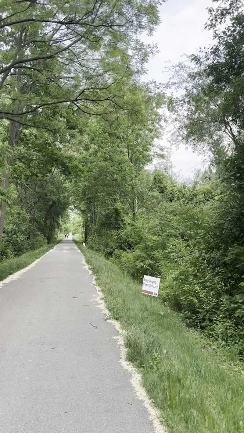
For practical use, this stretch is refreshingly simple. Between Adams Road and Opdyke Road, the Auburn Hills section is paved and mostly flat, so it works well for walking, jogging, casual biking, and short out-and-back trips that do not require much planning.
The railroad past explains the gentle grade. You are not constantly negotiating steep climbs, which makes the trail feel welcoming to mixed abilities and different paces.
That said, surface conditions can vary over time, so a quick visual check at the trailhead is always smart, especially if you are on narrower tires. For most visitors, though, this is a low-fuss route: easy to follow, easy to pace, and easy to revisit when you want movement without logistics.
Pay Attention To The Elevated Views And Edges
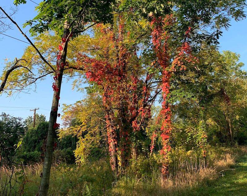
One of the subtler pleasures here is how the corridor sits above some adjacent land. That slight lift changes your relationship to the surroundings, giving brief, quiet views over fences, back edges, and treetops rather than placing you directly in the street grid.
I find that this height makes the trail feel more protected than it really is. The perspective is modest, but it separates you just enough from nearby development to create calm.
It also reinforces the sense that you are traveling through a leftover piece of infrastructure repurposed with care. On a route this short, little shifts in elevation and enclosure matter. They keep the walk from feeling merely functional and give the path its own visual rhythm.
Watch For Wildlife, Especially At Quieter Hours
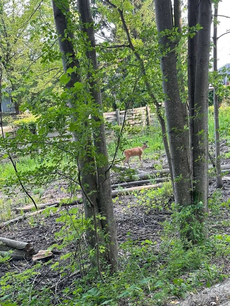
This is not a wilderness trail, but it rewards patient eyes. Along the Auburn Hills section, people do report seeing deer, rabbits, turtles, cats, and waterfowl, which makes sense given the mix of tree cover, drainage areas, and quieter margins along the corridor.
Early morning and evening tend to sharpen that feeling of shared space, especially when foot traffic is lighter and the soundscape softens. The key is to slow down enough to notice movement at the edge rather than scanning only the pavement ahead.
Because the route is short, there is room for that kind of unhurried attention. Bring the same courtesy you would bring anywhere wildlife appears: give distance, keep your pace predictable, and let the trail stay calm.
Take The Benches And Hydration Stops Seriously
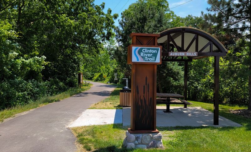
A useful trail does not always need grand amenities; it needs the right ones in the right places. On this section, benches and hydration stations make the route more inviting, especially near Squirrel and Adams Roads, where a pause feels built into the experience rather than improvised.
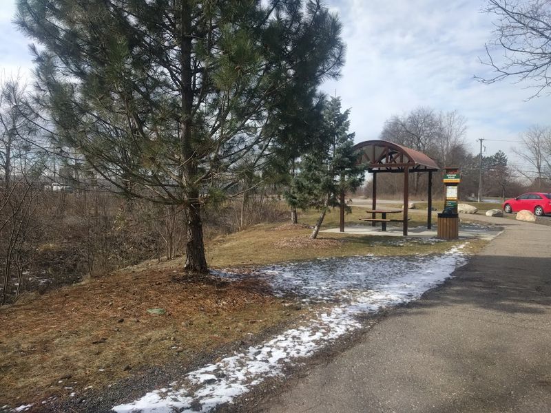
There is also a gazebo and picnic table at the Opdyke trailhead, which gives that end of the trail a clear sense of arrival. These details matter because the segment is short enough to attract quick walks, family rides, and before-work outings.
A bench turns a pass-through into a place to linger. Water access turns a casual summer visit into something easier and safer, particularly when heat rises faster than expected.
Remember The Fix-It Stations If You Bike
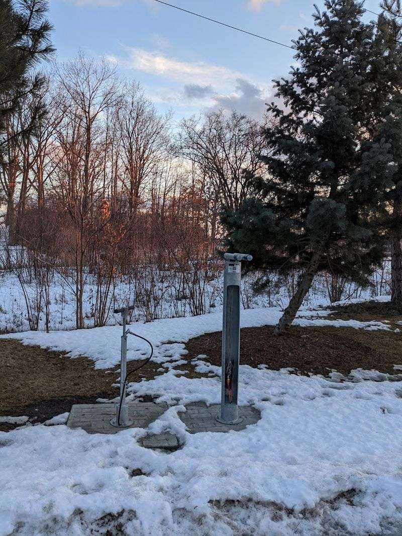
Cyclists get a thoughtful bit of support here. In 2020, two Bicycle Fix-It stations were installed on the Auburn Hills section, one at the Opdyke trailhead and another at the Moceri Hydration Station near Adams Road.
They include tools for common repairs and QR codes that link to instructional videos, which is exactly the kind of practical public infrastructure that can rescue a ride without much ceremony. You hope not to need them, but their presence changes the mood of the trail by making it feel cared for and current.
If you are introducing someone to local riding, this stretch becomes easier to recommend because help is built in. That is a small confidence boost, and on a community trail, small confidence boosts matter.
Use Mile Markers And Color-Coded Signs
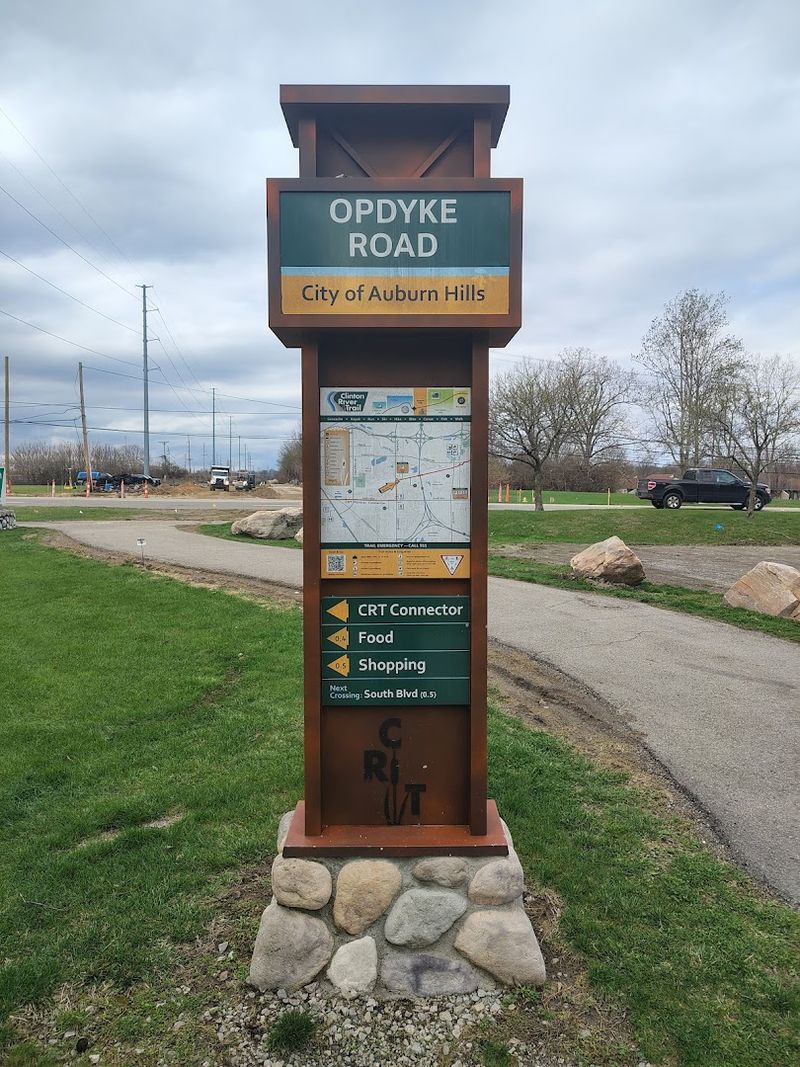
Wayfinding on a short trail might sound trivial until you need to describe where you are. This section includes mile markers every half-mile, and the broader trail system uses color-coded signage by city, which helps with orientation and can be useful in an emergency.
That design choice also makes the trail feel more coherent as part of something larger. The Auburn Hills segment is not an isolated local path; it belongs to the 16-mile Clinton River Trail and links into both the Iron Belle Trail and the Great Lake to Lake Trail Route #1.
If you like understanding place through systems, these signs quietly tell a bigger story. They turn a simple stroll into a legible piece of regional movement, history, and public access.
Go In Different Seasons, But Dress For Reality
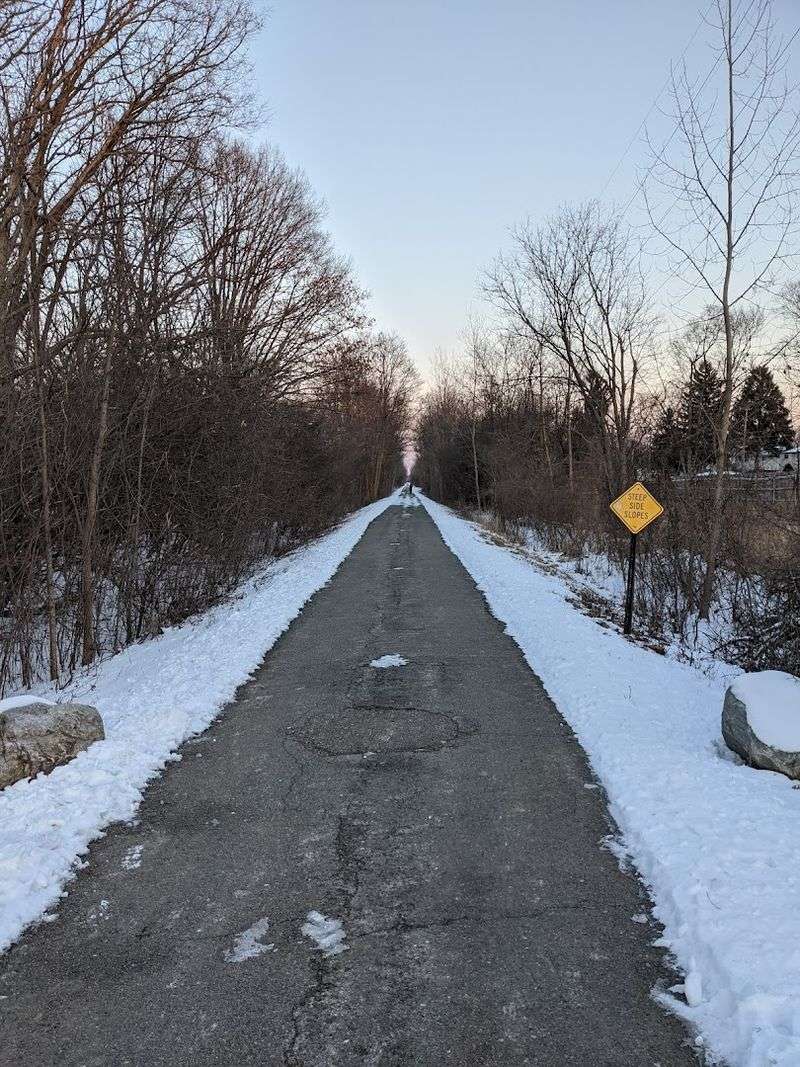
Season changes show up clearly on this corridor. Summer can bring long shaded stretches and active greenery, while fall sharpens the trail’s rail-line shape and makes the transition between wooded patches and developed edges more visible.
Winter is another matter. The trail is open year-round, but conditions can be less forgiving, and snow or ice changes the entire character of a paved route.
Checking the weather first is not dull advice here; it is what determines whether the visit feels restorative or unnecessarily awkward. I would also plan around daylight, especially if you want the quietest experience without pushing into darkness.
In every season, the trail works best when expectations match conditions rather than an idealized outdoor mood.
See This Short Segment As Part Of A Larger Network
The most satisfying way to understand this section is to treat it as both destination and connector. By itself, the Auburn Hills segment between Adams Road and Opdyke Road is a 2.1-mile outing with a bridge, benches, a paved surface, and a distinct rail-trail identity.
But it also belongs to a much larger web. The Clinton River Trail extends about 16 miles overall, and this route is integrated into the Iron Belle Trail and the Great Lake to Lake Trail Route #1.
That context changes the scale of the experience. A quiet local walk suddenly carries regional meaning. You may only be out for an hour, yet the corridor beneath your feet is part of a longer Michigan story about reuse, connection, and everyday access.