
This Simple South Carolina Beach Map Quietly Tracks Some Of The Biggest Shark Sightings In The State
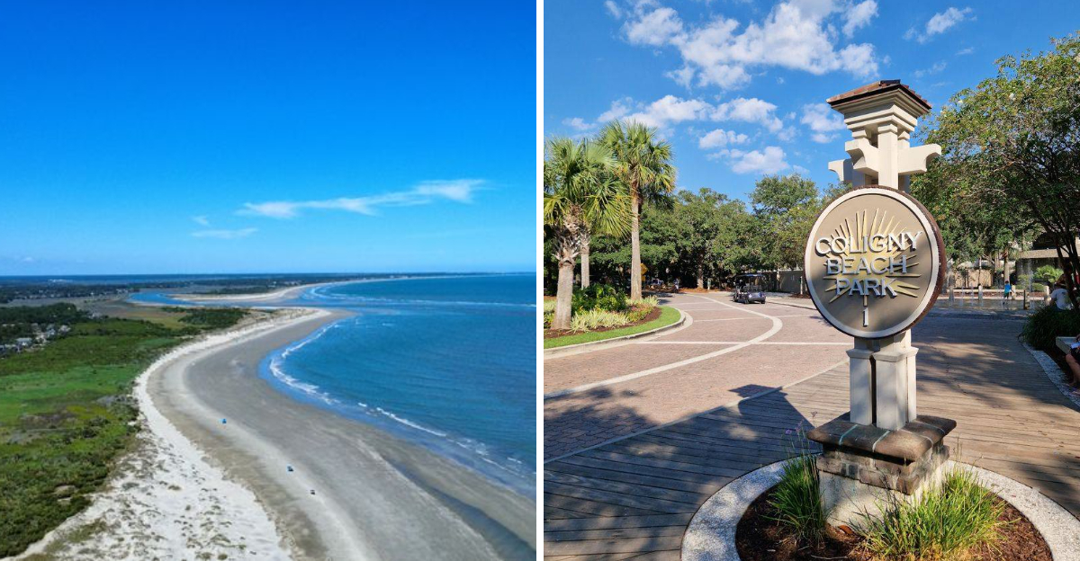
In South Carolina, a peaceful day at the beach can inspire two very different thoughts: “What a beautiful ocean,” and “What exactly is swimming under me?” Both are perfectly reasonable.
The water may look calm from shore, but a surprisingly simple map has been recording notable shark sightings along this popular stretch of coastline. It does not flash warnings or create movie-style drama.
Instead, it quietly connects locations, patterns, and encounters that most beachgoers would never notice while applying sunscreen or searching for the perfect spot in the sand.
That is what makes it so fascinating.
Sharks are a natural part of these waters, and spotting one does not automatically signal danger. Still, understanding where sightings occur, which species appear, and how frequently they are reported can help visitors make smarter decisions before swimming.
These ten facts reveal what the map shows about one of South Carolina’s most beloved coastal destinations and why knowing what moves beyond the waves is far more useful than simply fearing it.
The Map That Started It All
Before anyone had a smartphone app for it, researchers and lifeguards along South Carolina’s coast were already piecing together shark sighting data on basic maps, and Hilton Head Island was a frequent subject of those early records.
The tracking system that exists today grew out of a need to give beachgoers real information instead of rumors, and the result is a publicly accessible map that logs sightings with location, date, and species when known.
Hilton Head sits at a geographic crossroads where warm Gulf Stream currents and cooler coastal waters mix, creating conditions that naturally attract a wide variety of marine life, including sharks.
The map does not aim to frighten anyone away from the water, but rather to provide honest, location-based data that helps visitors make informed choices about when and where to swim.
Locals who have followed the map for years say it has quietly become one of the most useful tools for understanding the seasonal rhythms of shark activity along this stretch of the Atlantic.
Blacktip Sharks Are The Most Commonly Spotted Species
Of all the species that appear on the South Carolina beach map near Hilton Head Island, the blacktip shark earns the most frequent mentions, and for good reason.
Blacktip sharks are highly migratory, traveling up and down the Atlantic coast in large numbers each year, often moving into shallow nearshore waters where swimmers tend to gather.
They typically measure between four and six feet in length, which makes them a mid-size species that is fast, agile, and visually striking when they leap from the water during feeding activity.
Beachgoers at Hilton Head have reported seeing blacktips cruising just beyond the sandbar, sometimes in groups of several individuals moving parallel to the shoreline.
Marine biologists note that blacktips are not particularly aggressive toward humans, but their speed and preference for the surf zone means encounters happen more often here than with deeper-water species.
Knowing this species dominates local sightings helps visitors understand that most shark activity near Hilton Head is part of a natural coastal ecosystem rather than anything unusual or alarming.
Spinner Sharks Put On A Show Near The Shore
There is something almost theatrical about a spinner shark, and anyone lucky enough to witness one near Hilton Head Island’s shoreline will not forget it quickly.
Named for their habit of spinning rapidly through schools of fish while attacking, these sharks sometimes launch themselves completely out of the water in a full aerial rotation before splashing back down.
The South Carolina beach tracking map has recorded spinner shark sightings near Hilton Head multiple times, particularly during late spring and early summer when baitfish schools move through the area in dense formations.
Spinner sharks are slightly slimmer than blacktips and share a similar coloring, which often leads to confusion between the two species in casual sighting reports.
Lifeguards on Hilton Head have described watching spinners work through a baitball just beyond the breaking waves while beachgoers had no idea the activity was happening mere yards away.
Their presence on the map is a reminder that the ocean just off Hilton Head is a fully functioning, dynamic marine environment full of natural drama.
Bull Sharks Bring The Biggest Buzz To The Map
When a bull shark shows up on the South Carolina beach map near Hilton Head, people pay attention, and the data shows these sightings tend to generate the most public interest of any species logged.
Bull sharks are uniquely adapted to tolerate both saltwater and freshwater environments, which means they can venture into the tidal creeks, estuaries, and marshlands that surround Hilton Head Island, not just the open ocean.
They are stocky, powerful animals that can reach lengths of over seven feet, and their reputation as one of the more assertive shark species makes each confirmed sighting noteworthy.
The Pinckney Island National Wildlife Refuge, which sits between Hilton Head and the mainland, contains extensive salt marsh habitat that has historically been associated with bull shark movement in the region.
Researchers tracking these animals say that Hilton Head’s mix of open beach, tidal inlets, and brackish waterways creates an environment that suits bull sharks at various life stages, from juveniles to large adults.
Their map appearances are infrequent enough to remain significant, but consistent enough to confirm they are a real presence in local waters year after year.
Seasonal Patterns Reveal When Sightings Peak
One of the most practical things the South Carolina beach map reveals about Hilton Head Island is that shark sightings are not random, they follow clear seasonal patterns tied to water temperature and prey availability.
Late spring through early fall represents the peak window, roughly May through September, when warming Atlantic waters draw both baitfish and the sharks that pursue them into the nearshore zone.
During these months, the map shows a noticeable spike in reported sightings along the Hilton Head coastline, particularly around the island’s south-facing beaches where currents concentrate fish activity.
Water temperatures in the low 70s Fahrenheit appear to be a sweet spot that attracts the highest shark activity, based on patterns visible in the tracking data over multiple years.
Winter months bring a sharp drop in sightings as many species migrate southward following warmer water, leaving Hilton Head’s beaches considerably quieter in terms of shark presence.
Knowing these seasonal trends allows visitors to plan their beach time with a clearer picture of what marine activity they might realistically encounter during their stay.
The Role Of Baitfish Schools In Driving Sightings
Ask any experienced angler or marine biologist around Hilton Head Island what drives shark sightings near the shore, and the answer will almost always start with the words: follow the baitfish.
Dense schools of menhaden, mullet, and other small fish move through South Carolina coastal waters in massive formations, sometimes visible from the beach as dark, rippling patches just beyond the surf.
These schools act as a dinner bell for predators, drawing sharks from deeper offshore waters into the shallows where the concentration of prey is highest.
The South Carolina beach map often shows clusters of sightings that correspond geographically with known baitfish migration routes along the Hilton Head coastline, making the connection between prey and predator visually obvious.
Beachgoers who spot large numbers of jumping or skipping fish near the surface are sometimes witnessing the early signs of a feeding event, which may explain why lifeguards treat baitfish activity as a signal to increase shark awareness.
Understanding this relationship turns an ordinary beach walk into a surprisingly interesting lesson in how the coastal food chain operates right in front of you.
How The Map Actually Collects Its Data
The tracking map used along South Carolina beaches, including Hilton Head Island, pulls data from a surprisingly wide network of sources that most casual visitors would never think to consider.
Lifeguards, surf fishermen, drone operators, boaters, and even casual swimmers all contribute sighting reports that feed into the system, creating a crowd-sourced layer of information on top of official monitoring efforts.
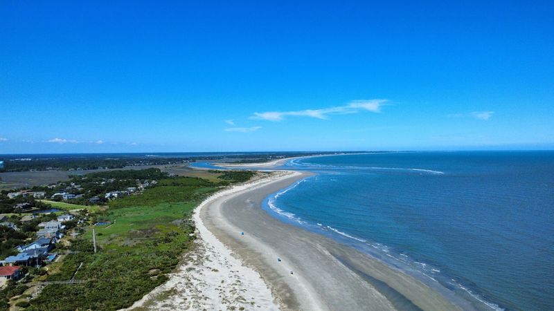
Drone technology has become particularly valuable along Hilton Head’s beaches in recent years, with aerial footage providing clearer, more reliable sighting confirmation than surface-level visual reports alone.
Some reports come from researchers tagging sharks as part of longer-term population studies, which adds a scientific data layer that helps distinguish species and track individual animals over time.
The map also incorporates historical records going back several decades, giving researchers the ability to compare current sighting rates against long-term baselines and spot meaningful changes in shark behavior or distribution.
What looks like a simple map to the casual viewer is actually the visible tip of a data collection effort that involves dozens of contributors working across the entire South Carolina coast.
Hammerhead Sharks Have Made Memorable Appearances
Few shark sightings generate as much excitement along the Hilton Head Island coastline as a confirmed hammerhead, and the South Carolina beach map has recorded several memorable appearances from this instantly recognizable species.
Great hammerheads are the largest of the hammerhead family, capable of reaching lengths exceeding thirteen feet, and their unmistakable silhouette with that wide, flat head makes misidentification virtually impossible.
Sightings near Hilton Head tend to occur in deeper nearshore waters and around the island’s tidal inlets, where hammerheads pursue stingrays, one of their preferred prey items.
The Calibogue Sound, which separates Hilton Head from Daufuskie Island to the south, has been mentioned in several historical accounts and fishing reports as an area where hammerheads have been observed by boaters and anglers.
Hammerheads are generally not a species that lingers in the shallow surf zone, which means sightings from the beach itself are rare and considered notable enough to generate significant buzz among local shark enthusiasts.
Each hammerhead entry on the map serves as a vivid reminder that Hilton Head’s surrounding waters are home to some genuinely large and impressive marine predators.
Tiger Sharks Round Out The Bigger Sightings
Among the larger species that have shown up in South Carolina’s coastal shark tracking data near Hilton Head Island, tiger sharks hold a special place because of their sheer size and their tendency to roam widely across different ocean depths and habitats.
Tiger sharks can exceed fourteen feet in length and are known for an almost indiscriminate appetite, which has earned them a reputation as one of the ocean’s most versatile large predators.
Sightings of tiger sharks near Hilton Head are not common, but they are documented, and each one tends to draw attention from marine researchers who study the movement patterns of large coastal sharks along the Atlantic seaboard.
Their presence in the tracking data is often linked to seasonal movements of sea turtles, which are known to nest along South Carolina beaches and represent a natural prey item for adult tiger sharks.
The loggerhead sea turtle nesting activity that occurs on Hilton Head’s beaches each summer may contribute to drawing tiger sharks closer to shore during that same seasonal window.
Seeing a tiger shark entry on the map near Hilton Head is rare enough to feel significant, and it underscores how rich and varied the marine life around this island truly is.
What The Map Means For Beachgoers At Hilton Head
After looking at all the data the South Carolina beach map quietly holds about shark sightings near Hilton Head Island, the most important takeaway is not fear but awareness, and there is a meaningful difference between the two.
Hilton Head Island, located at the southern tip of South Carolina’s Lowcountry region, draws millions of visitors each year to its twelve miles of Atlantic Ocean beaches, and the vast majority of those visits involve zero shark encounters of any kind.
The map exists to support smarter beach habits, like avoiding swimming at dawn and dusk when sharks are most active, staying out of the water when baitfish activity is visible, and heeding any flags or warnings posted by lifeguards on duty.
Hilton Head’s beach patrol and lifeguard teams use sighting data to make real-time decisions about water safety, which means the map has a direct, practical impact on how the beaches are managed each day.
Respecting the ocean as a shared space with its natural inhabitants, rather than treating shark sightings as a threat to avoid at all costs, leads to a healthier and more honest relationship with the coastal environment.
The simple map tracking sightings along South Carolina’s coast near Hilton Head Island is, at its best, an invitation to appreciate the full, wild character of the Atlantic waters that make this destination so enduringly special.