
This Illinois Nature Preserve Hides A Sand Dune That Feels Like It Belongs On A Coast
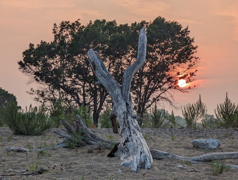
Most people picture Illinois as a sea of flat cornfields and prairie grass, so stumbling onto a landscape of rolling sand dunes and open sandy grassland in the middle of the state can feel genuinely disorienting. Henry Allan Gleason Nature Preserve in Mason County sits within the larger Sand Ridge State Forest near Forest City, and it holds a 60-foot sand dune named Devil’s Tower that looks more like something from a coastal state than the rural Midwest.
The surrounding forest stretches across roughly 7,500 acres and contains dunes reaching about 100 feet, grassy openings, and pine plantations that make the whole area feel unlike any other corner of Illinois. Understanding what created this landscape, and how to visit it responsibly, makes the experience far more rewarding than simply showing up expecting a beach.
Illinois hides a dune landscape inside its prairie country
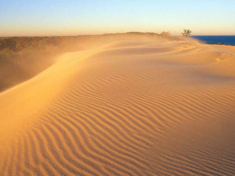
Somewhere in central Illinois, between stretches of farmland and river-bottom timber, the ground rises into open ridges of pale sand that catch afternoon light the way a coastal barrier island might. Henry Allan Gleason Nature Preserve sits in Mason County near the small town of Forest City, and its 110 acres hold a landscape that stops first-time visitors cold: sand dunes, open blowouts, and dry grassland that look far more at home on the Gulf Coast than in the Illinois River valley.
The Illinois Nature Preserves Commission dedicated the site in October 1970, recognizing it as an outstanding example of inland sand prairie and dune habitat worth protecting under the state’s highest conservation designation.
The preserve does not stand alone. It sits within or directly adjoining Sand Ridge State Forest, a much larger recreation area covering roughly 7,500 to 7,550 acres.
That forest surrounds the preserve with oak-hickory woods, pine plantations, open grassland, and its own impressive dune ridges, giving the whole area a scale that surprises visitors who expected nothing more dramatic than a flat field. The two properties share geography but operate under different rules, and keeping that distinction clear matters for anyone planning a trip.
Calling the preserve a secret or an undiscovered desert oversells the mystery and undersells the real story. What makes Henry Allan Gleason remarkable is not that it hides from the world but that it preserves a habitat most Illinoisans never knew existed in their own state.
Sand Ridge State Forest provides the broader setting and most of the visitor infrastructure, while the preserve itself protects the most ecologically sensitive portion of the landscape, including the dune named Devil’s Tower.
The sand arrived inland before the wind shaped it
Every dune begins with a supply of loose sand and a force to move it, and the story at Sand Ridge starts long before any wind arrived. After the last glaciation, meltwater rivers carried enormous loads of sediment across what is now central Illinois, depositing thick beds of sand and silt across the Illinois River valley and its surrounding lowlands.
When those rivers shrank and the floodplains dried out, the sand lay exposed, and persistent winds began picking it up and piling it into ridges, mounds, and blowouts over thousands of years. IDNR’s Sand Ridge State Forest profile describes this sequence directly, noting that shifting winds shaped the dunes from sand that had accumulated in the Illinois River valley following glaciation.
The visual resemblance to a coastal dune system is real enough to surprise people, but the geological process is fundamentally different. Coastal dunes at places like Illinois Beach State Park formed from shoreline sand moved by lake waves, longshore currents, and changing water levels over time.
Illinois Natural History Survey research on Lake Michigan dune formation explains how wave action and shifting lake levels drove that coastal process, a mechanism entirely absent from the inland Illinois River valley. The Sand Ridge dunes owe their shape to wind working on glacially and fluvially deposited material, not to any ocean or lake shore.
Illinois sand prairies appear along several major river systems, including the Illinois, Mississippi, and Kankakee, as well as near Lake Michigan, wherever sandy deposits accumulated and drainage remained poor enough to prevent forest from closing in. University of Illinois research on tallgrass prairie ecosystems places these sandy openings within the broader story of Illinois’ grassland history, showing that sand prairie is a distinct and geographically scattered piece of the state’s natural heritage.
Framing the Sand Ridge landscape as coastal is a useful analogy for the eyes, but the ground beneath it tells a strictly inland story.
Devil’s Tower gives the preserve its vertical shock
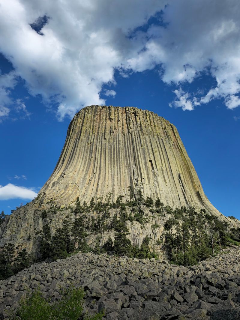
Standing at the base of Devil’s Tower, visitors get a sense of vertical scale that central Illinois rarely offers. The preserve’s signature landform is a stabilized sand dune that rises 60 feet, capped by a large blowout at the summit where wind has scooped out loose material and left an open sandy depression.
The Illinois Nature Preserves Commission listing for Henry Allan Gleason documents both the dune’s height and the blowout at its top, making Devil’s Tower the preserve’s most precisely described landform and its most striking visual feature.
That 60-foot figure applies specifically to Devil’s Tower within the 110-acre preserve. The broader Sand Ridge State Forest landscape includes dunes that IDNR describes as reaching approximately 100 feet, a figure that belongs to the larger forest rather than to this named dune.
Mixing the two numbers would give readers a misleading picture of what they will actually see when they approach Devil’s Tower, so it helps to hold the distinction clearly: the preserve’s documented dune is 60 feet tall, and the forest’s highest terrain is taller still.
The blowout at the summit is part of what makes the feature so visually arresting. Blowouts form when wind removes sand faster than vegetation can stabilize it, leaving a bowl or trough of exposed material surrounded by more anchored ground.
Sand Ridge State Forest’s IDNR profile describes the broader landscape as a place where dunes and open sandy areas coexist with woodland and grassland, and Devil’s Tower fits squarely into that mix. Visitors should know that no official trail leads to the summit, and the preserve’s official listing does not confirm a marked route, so the visual payoff comes from the dune’s presence in the landscape rather than from a guaranteed climb to the top.
What survives in shifting, unusually dry prairie?
Sandy soil drains fast. Rain that would sit in a clay-heavy black-soil prairie for days disappears quickly through the loose grains at Sand Ridge, creating conditions that feel almost arid by Illinois standards.
Plants that thrive here tend to be shorter, tougher, and more drought-tolerant than those in the deep-soil prairies most people picture when they think of Illinois grassland. IDNR’s sand prairie habitat profile lists little bluestem, leadplant, butterfly weed, purple coneflower, prickly pear cactus, silvery bladderpod, blackjack oak, bearberry, and winged sumac among the characteristic species, a lineup that looks nothing like a conventional Illinois cornfield margin.
Prickly pear cactus growing in central Illinois surprises almost everyone who sees it for the first time. The plant is native here, not a garden escapee, and it produces showy yellow flowers in summer before setting fleshy red fruits in fall.
Porcupine grass and spiderwort add texture to the mix, while silvery bladderpod, a small flowering plant that favors sandy and gravelly ground, represents the kind of uncommon species that makes the preserve worth protecting. The Illinois Nature Preserves Commission description of Henry Allan Gleason notes that the site supports rare and unusual plants and animals, a precise phrase that reflects the genuine scarcity of these communities without overstating the legal status of every organism present.
Wildlife fills the ecological gaps that the plants leave open. Badgers dig through sandy soil with an efficiency that would be impossible in heavier ground, and pocket gophers honeycomb the substrate with tunnel networks that aerate and mix the sand.
Lark sparrows nest in open sandy areas and edge habitats, six-lined racerunners streak across exposed ground in warm weather, and regal fritillary butterflies depend on violets that grow in these sunny, dry openings. University of Illinois prairie research places sand prairie among Illinois’ most reduced natural communities, with only about 2,360 acres of sand prairie remaining statewide in poor- and high-quality examples combined.
That statewide figure underscores why a 110-acre dedicated preserve matters: each acre of functioning sand prairie represents habitat that took thousands of years to develop and cannot be easily replaced.
The preserve and the forest offer different kinds of access
Knowing which property you are standing on at Sand Ridge changes nearly everything about how you should behave and what you can expect. Henry Allan Gleason Nature Preserve covers 110 acres and carries the state’s highest conservation designation.
Parking is available near the site, which lies about 0.2 mile west of the nearest road, but the official INPC preserve listing states plainly that established trails have not been created within the preserve. Visitors who arrive expecting a trailhead sign and a clear path to Devil’s Tower will need to adjust their expectations and confirm current access details before setting out.
Sand Ridge State Forest operates under a different framework and provides far more developed visitor infrastructure. IDNR’s forest overview describes roughly 7,500 to 7,550 acres of land supporting camping, horseback-riding routes, fire lanes, and a network of marked hiking trails.
The forest’s activities page details approximately 55 miles of marked trails, with individual routes ranging from 1.5 to 15 miles, giving hikers a wide range of options within the broader property. Those trails provide genuine access to the dune-and-grassland landscape, but a marked state-forest trail should not be assumed to lead directly to Devil’s Tower without confirmation from the site office or a current official map.
The practical implication is straightforward. Hikers who want to explore the forest’s trail network have a well-documented set of options.
Those who want to visit the preserve specifically need to contact the site office before traveling to ask about current access, any informal routes near the preserve boundary, and conditions on the ground. IDNR’s current-closures page advises visitors to call the site office for up-to-date conditions, and the listed contact number for Sand Ridge is 309-597-2212.
Verifying access before arrival is not optional caution but a basic step for any visit to a site where trail status, burn schedules, and hunting seasons can change the picture quickly.
Protect the sand prairie while conditions change
A visit to Henry Allan Gleason Nature Preserve or Sand Ridge State Forest can change character quickly depending on the season and what land managers are doing at any given time. Hunting occurs across much of the state forest on a seasonal basis, while the dedicated preserve is closed to hunting, vehicles, and domestic animals under its nature-preserve designation.
Arriving during an active hunting season without checking the calendar is the kind of oversight that turns a pleasant hike into an uncomfortable situation, so confirming hunting dates with the site office is a practical first step. IDNR’s current-closures page advises visitors to call ahead for current conditions; the contact number for Sand Ridge is 309-597-2212.
Prescribed fire is a regular management tool at the preserve, used to keep woody vegetation from overtaking the open sand prairie. Illinois natural heritage land stewardship guidance on prescribed fire explains how controlled burns maintain grassland and prairie communities by resetting plant competition and recycling nutrients.
Visitors should never enter areas posted as closed for prescribed burns, and they should follow any posted instructions about fire restrictions. Smoke, recently burned ground, and active flame management are all possible depending on the time of year.
The preserve’s legal protections extend to its physical contents. Illinois Administrative Code rules governing nature preserves prohibit removing plants, soil, rocks, or other natural objects without authorization, and campfires and other open fires are restricted except under approved management conditions.
Picking a handful of porcupine grass or prying up a piece of prickly pear may seem harmless, but it is both illegal and ecologically damaging in a designated preserve.
Prickly pear deserves a specific warning beyond the legal one. University of Illinois Extension guidance on prickly pear in Illinois notes that the plant carries small barbed bristles called glochids that embed in skin and cause painful, persistent irritation.
Wearing sturdy closed-toe footwear and staying alert to where the cactus grows along any route through the sand prairie is a simple precaution that saves real discomfort. IDNR’s Sand Ridge overview confirms that the preserve is closed to domestic animals, so leaving pets at home is not just courteous but required.
The goal for any visit should be careful, lawful observation that leaves the sand prairie intact for the next person who walks through.
A coast-like view with an Illinois origin
Central Illinois does not usually reward travelers with the kind of vertical, sandy terrain that makes people stop and recalibrate where they are. Henry Allan Gleason Nature Preserve earns its visual reputation honestly: a 60-foot dune with a blowout at the top, open sandy grassland, cactus growing in the sun, and a surrounding forest with ridges that IDNR documents at approximately 100 feet.
The landscape looks coastal because sand dunes and open sandy ground share an aesthetic across very different environments, not because the Illinois River valley ever had a shoreline in any recent geological sense.
The real value of the place is not that it mimics a beach but that it preserves an inland ecosystem most Illinois residents have never seen. Sand prairie now covers only a fraction of its former range statewide, and a dedicated 110-acre preserve protecting a named dune, rare plants, and distinctive wildlife represents something genuinely worth the drive to Mason County.
Henry Allan Gleason Nature Preserve and the broader Sand Ridge State Forest together offer a landscape that rewards curiosity about how Illinois was shaped, not just how it looks from a car window.
Before making the trip, check IDNR’s current closures page and call 309-597-2212 to confirm conditions, access, and any active restrictions. The sand has been here for thousands of years, and a little advance planning ensures it stays that way for everyone who follows.