
This Illinois Nature Preserve Hides A Cave System You Can Actually Walk Into Near Utica
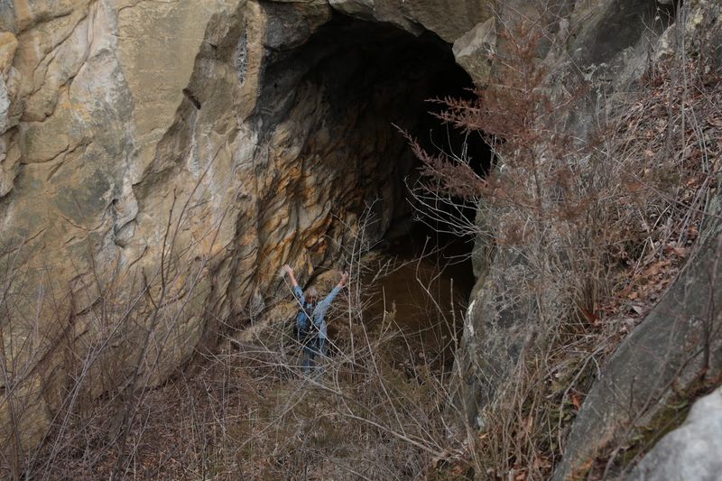
A rumor circulates among Illinois hikers that somewhere near Utica, a nature preserve hides a cave system you can simply walk into. The real story is more complicated and, in some ways, more interesting.
Pecumsaugan Creek-Blackball Mines Nature Preserve does contain a vast underground mine with cave-like passages, but it is closed to the public and cannot be legally entered without authorization. Understanding what is actually there, and what nearby spots are genuinely open to visitors, makes for a much better day trip than chasing a misleading headline.
The near-Utica mystery points to Blackball Mines
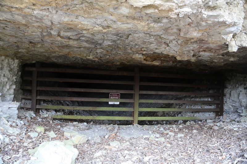
Pecumsaugan Creek-Blackball Mines Nature Preserve sits in LaSalle County, west of Utica, and it is almost certainly the site behind the circulating claim about a walkable cave system near town. The preserve covers roughly 211 acres of wooded terrain along Pecumsaugan Creek, and it does contain something genuinely remarkable underground.
The catch is that the underground feature is not open to the public.
What the preserve actually holds is a large abandoned limestone mine, not a naturally formed recreational cave. Mining operations carved out an extensive network of passages beneath the surface, and that network is impressive enough that people sometimes describe it in cave-like terms.
The Illinois Department of Natural Resources preserve listing confirms both the scale of the underground workings and the fact that the site is closed to ordinary visitors.
So the mystery has a real answer: yes, there is a remarkable subterranean space near Utica. No, you cannot walk into it on a weekend hike.
The preserve exists to protect sensitive habitat, and IDNR requires a permit even for scientific researchers who want access. Knowing that distinction up front saves a wasted drive and keeps visitors on the right side of both the law and basic safety.
What lies beneath the preserve
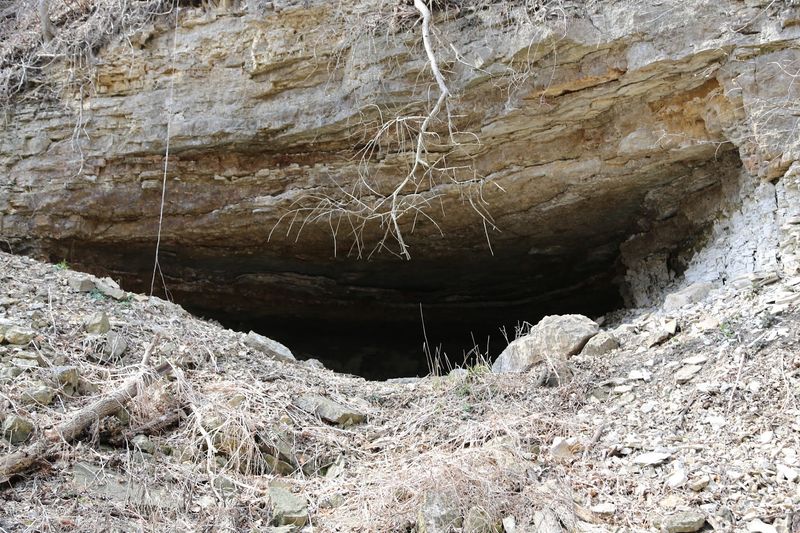
Underground, Blackball Mine is structured more like a building than a natural cavern. A University of Illinois cave inventory document describes the workings as a maze of generally rectangular limestone passages arranged on upper and lower levels, with vertical shafts connecting them.
That geometry reflects the practical logic of mining: workers followed the limestone seams and cut passages where the rock was worth extracting.
The mine has both north and south workings, and geological survey records confirm that maps exist for both sections. The scale of the mapped network helps explain why people reach for the word “cave” when they talk about Blackball.
A maze of passages on two levels, connected by shafts, with a natural enlarged joint cutting through part of the workings, sounds exactly like something you would find described in a caving guidebook.
That natural joint is worth a moment of attention. The technical inventory notes that a naturally enlarged fracture in the rock intersects the mined passages, meaning geology and mining history overlap in ways that blur the line between a man-made tunnel and a natural void.
Still, the dominant feature is the mine itself, created by human labor over the course of the limestone-quarrying era in LaSalle County.
Calling it a cave system is understandable shorthand, but it is not quite accurate. The passages exist because miners removed rock, not because water slowly dissolved it over millennia the way it forms a true limestone cave.
That distinction matters for understanding the site’s character, its hazards, and why the access rules are as strict as they are.
Why ordinary hikers cannot enter Blackball
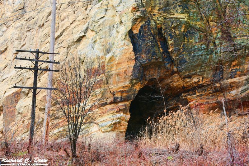
The access rule is straightforward: IDNR lists Pecumsaugan Creek-Blackball Mines Nature Preserve as closed to the public, and scientific research access requires a permit. That is not a technicality or a seasonal restriction.
It is the current standing policy for the site, and it applies regardless of how well-equipped a visitor might be.
Abandoned mine workings present physical hazards that gear alone cannot address. Federal Mine Safety and Health Administration guidance identifies the core dangers in abandoned or inactive mines: unsupported roofs that can collapse without warning, flooding from groundwater, oxygen-poor air that offers no visual clue before it incapacitates a person, and fall hazards from shafts and unstable floors.
A headlamp and a hard hat do not tell you whether the ceiling above you has been compromised, and boots do not warn you that the air in the next passage lacks enough oxygen to keep you conscious.
MSHA safety alerts on unsupported roofs emphasize that roof failures in mine environments can happen suddenly and without prior visible cracking. The same alerts note that even experienced workers with proper equipment rely on formal inspections and engineering assessments before entering areas of concern.
An informal visit skips every one of those safeguards.
Federal mine safety law also establishes a framework for preventing unauthorized entry into mine openings precisely because the risks are not self-evident from the outside. The preserve closure and the mine-safety framework point in the same direction: the right response to Blackball’s underground passages is not to find an opening and squeeze through.
Visitors who want to understand what is there can do so from the surface.
The bats make the restriction significant
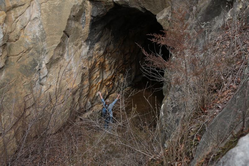
Beyond the physical hazards, Blackball Mine serves as one of Illinois’ most important bat habitats, and that ecological role gives the access restriction a second layer of meaning. IDNR identifies the mine as one of the largest bat hibernacula in the state, with five bat species recorded using the underground workings.
Among them is the Indiana bat, a federally endangered species that depends on stable, undisturbed hibernation sites to survive the winter.
Hibernating bats are not simply sleeping. During torpor, they lower their metabolic rate to conserve fat reserves that must last until spring.
A disturbance that forces a bat to wake up and move burns through those reserves. Repeated disturbances across a winter can leave bats without enough energy to survive until insects become available again.
A single unauthorized visit to a hibernaculum does not just break a rule; it can cost individual animals their lives.
Historical context adds weight to that concern. A 2010 IDNR document records that Blackball Mines was among Illinois sites closed during efforts to limit the spread of white-nose syndrome, a fungal disease that has killed millions of bats across North America.
That document is historical, and the current preserve listing independently confirms the site remains closed. The white-nose history is background, not the sole reason for today’s rules, but it illustrates how seriously wildlife managers treat disturbance at this location.
Treating the mine as a forbidden curiosity misses the point. Blackball supports a living community of animals that cannot relocate easily if their hibernation site is compromised.
The restriction protects that community, and understanding it makes the closed-access policy feel less like bureaucratic caution and more like a reasonable response to real ecological stakes.
The towpath provides the legal view
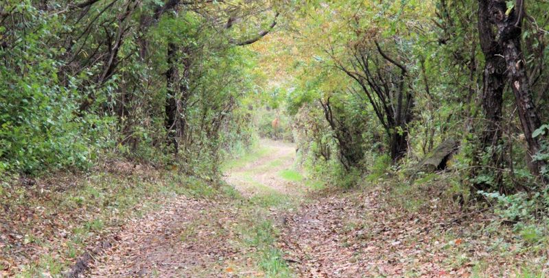
Visitors who want to experience the landscape around Blackball Mines without crossing any legal or safety lines have a practical option. The official IDNR preserve page notes that some of the area’s natural features can be seen from the Illinois and Michigan Canal towpath, which runs adjacent to the preserve.
That is the access point the agency itself recommends for members of the public.
The I&M Canal towpath is a multi-use trail that follows the historic canal corridor through LaSalle County. Walking it near the preserve puts you in the same limestone bluff landscape that surrounds the mine without putting you inside the restricted boundary.
You get the geology, the creek scenery, and a genuine sense of the terrain that conceals those underground passages, all from a legal vantage point.
One thing the towpath does not provide is a view of or a route to any mine entrance. The preserve page is careful to say visitors can see some natural features from the towpath, not that the towpath leads to the mine itself.
Anyone who interprets that guidance as a hint to look for an opening along the trail is reading something into it that is not there. The towpath is an above-ground experience of a remarkable landscape, and that is exactly what IDNR intends it to be.
For visitors with questions about authorized access, contacting IDNR directly is the appropriate step. Researchers and scientists who have a legitimate reason to study the site can pursue the permit process through the Illinois Nature Preserves Commission.
For everyone else, the towpath walk offers a way to connect with the area’s history and geology without putting wildlife or themselves at risk.
Matthiessen offers a canyon and a small rockshelter
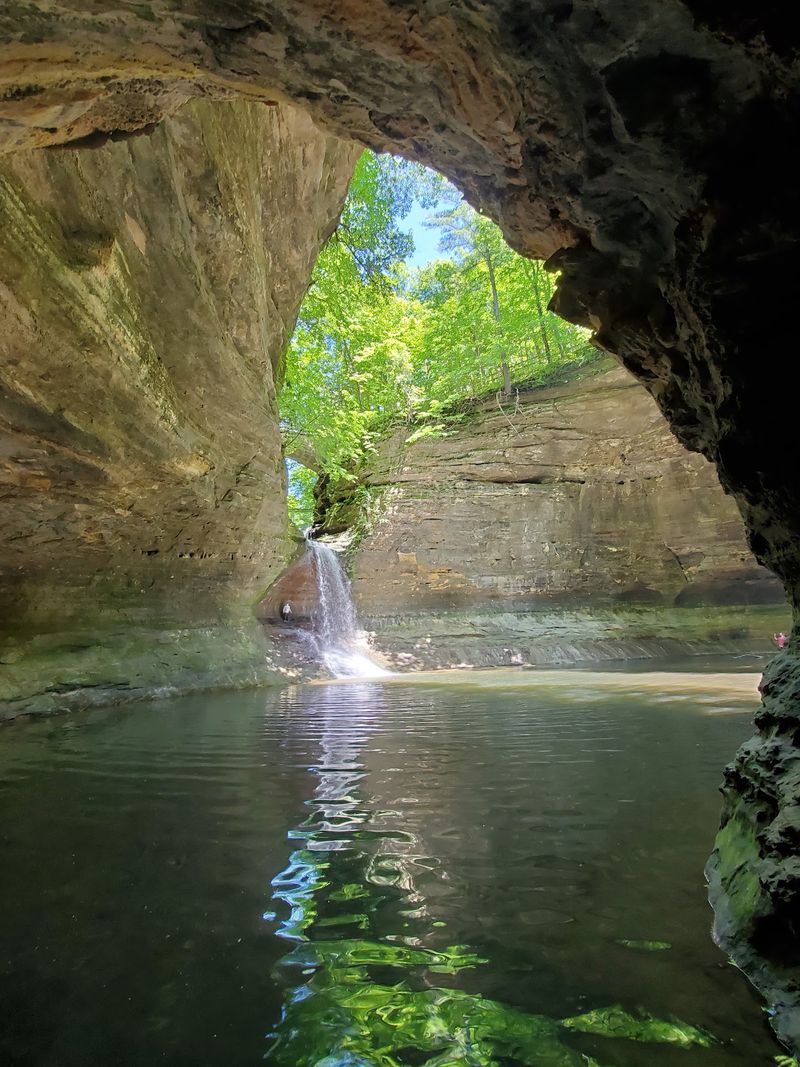
About four miles south of Utica, Matthiessen State Park gives visitors a publicly accessible landscape that is genuinely dramatic without requiring any special permits. Matthiessen Dells Nature Preserve sits within the park and protects a deep sandstone canyon carved by water over a long period.
Marked trails pass through the Upper and Lower Dells, tracing a canyon corridor roughly one mile long where the walls rise steeply on both sides.
The park’s sandstone formations are layered, water-eroded, and visually striking in a way that feels genuinely geological rather than manicured. Waterfalls drop into the canyon at several points, and the combination of narrow passages, high walls, and cascading water gives the place an enclosed, almost subterranean feel even though you are walking in open air.
That atmosphere may be part of why some accounts conflate Matthiessen with a cave experience.
A technical cave inventory does document a sandstone rockshelter at the base of one of the waterfalls, described in the University of Illinois inventory as approximately 50 feet long. A rockshelter is an overhang or shallow recess eroded into a cliff face, not a passage that extends deep underground.
Fifty feet of overhang is genuinely interesting, but it is not a cave network, and it should not be promoted as one.
Park rules require visitors to stay on marked trails, and that rule applies throughout the canyon. Steep cliffs and deep drops make off-trail wandering dangerous, and creating new paths is prohibited.
Current park notices report a closure affecting the bridge over Lake Falls, with interior waterfall areas including Lake Falls, Middle Falls, and Cascade Falls potentially closed due to storm water and rising river levels. Check the IDNR closures page before you go, especially after any significant rain.
Illinois Caverns offers a regulated cave-entry alternative
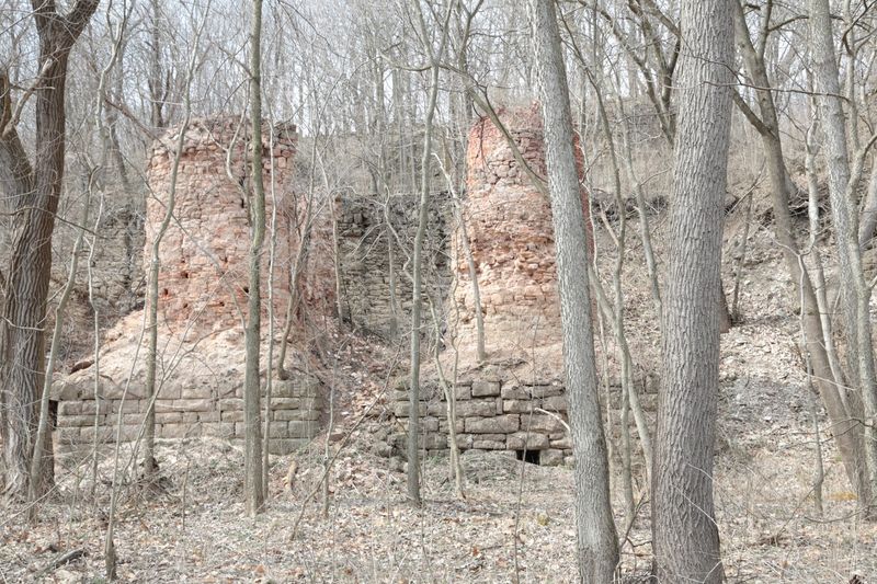
Readers whose main goal is to actually enter a genuine cave in Illinois have a real option, though it is not near Utica. Illinois Caverns State Natural Area sits in Monroe County in southwestern Illinois, several hours south of LaSalle County.
IDNR describes Illinois Caverns as an unimproved cave with more than five miles of mapped passageways, making it one of the most extensive publicly accessible cave systems in the state.
Accessing it takes preparation. The permit and equipment requirements are specific: visitors must obtain a permit in advance, arrive in a group of at least four people, wear protective clothing and sturdy footwear appropriate for a muddy unimproved cave, and carry three independent light sources per person.
That last requirement exists because a cave without functioning lights is a genuinely dangerous place, and a single headlamp can fail.
Entry can also be closed when conditions inside become unsafe, so confirming access before making the drive is essential. Illinois Caverns is not a tourist attraction with paved paths and installed lighting.
Visiting it means crawling through tight sections, getting muddy, and navigating by personal headlamp in a living cave environment. That is exactly what makes it worth the trip for people who want an authentic cave experience rather than a guided tour of a developed show cave.
The important clarification is that Illinois Caverns is a separate destination, not an alternative version of the near-Utica story. Visitors who read about a cave near Utica and then show up at Blackball Mines will find a restricted preserve.
Visitors who want to enter a real cave under real conditions, with proper preparation and the right group size, should plan a separate trip to Monroe County and arrange their permit well ahead of time.
The underground surprise is real, but restricted
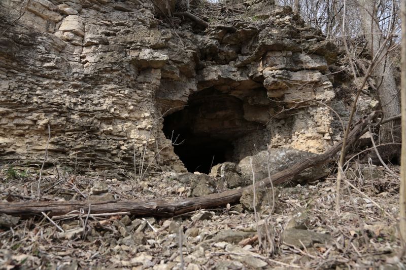
Blackball Mine is the genuine answer to the near-Utica cave mystery. An extensive network of rectangular limestone passages on two levels, connected by vertical shafts, with a natural rock joint cutting through the workings, is a remarkable underground feature by any measure.
The IDNR preserve listing confirms both the scale of what lies beneath and the fact that it is closed to the public.
Visitors can walk the I&M Canal towpath for a legal above-ground view of the preserve’s landscape. Hikers looking for a marked-trail canyon experience should head to Matthiessen State Park, about four miles south of Utica, after checking current waterfall-area closures.
Anyone determined to enter a genuine public cave should plan a separate trip to Illinois Caverns in Monroe County, permit in hand and group assembled.
The underground surprise near Utica is real. The part about walking into it is not.
Sometimes the most interesting places are the ones that ask you to appreciate them from a respectful distance.