
This Illinois Nature Preserve Hides A Limestone Gorge Where Cold Springs Feed A Hidden Creek
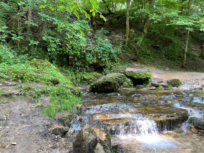
Tucked behind a turn off Illinois Route 38 in Lee County, Franklin Creek State Natural Area holds a landscape that surprises nearly everyone who makes the short drive in. The 882-acre property shelters a deep bedrock valley carved through ancient sandstone and dolomitic limestone, fed by large cool springs and traced by a winding creek.
Most travelers passing through Franklin Grove or Dixon have no idea this kind of terrain exists in northern Illinois. Getting there takes only a few minutes off the main road, but the scenery feels worlds away from the flat farmland surrounding it.
A tucked-away natural area lies beyond Route 38
Franklin Creek State Natural Area sits just north of Illinois Route 38, a few miles east of Dixon and northwest of Franklin Grove in Lee County. The address is 1872 Twist Road, Franklin Grove, Illinois 61031, and reaching the interior means leaving the highway and following Daysville Road to Old Mill Road, then continuing roughly one mile until the landscape opens into something unexpected.
From the road, there is little sign of what waits inside.
The property covers approximately 882 acres and contains within it a separately designated 198-acre Illinois Nature Preserve. Those two designations are not interchangeable.
The Illinois Department of Natural Resources describes the site as containing several large natural springs, bedrock outcroppings, ravines, hardwood forests, and Franklin Creek flowing throughout the park. The Illinois Nature Preserve is the protected core inside a larger, managed public natural area.
Framing this place as hidden works as an experience rather than a geographic fact. The site has marked trails, parking, picnic facilities, a visitor center, and a reconstructed mill.
What feels secretive is the contrast between the ordinary highway corridor and the sheltered valley that appears once you leave it. That shift, from flat agricultural landscape to wooded ravine, is what gives the place its atmosphere of discovery.
Visitors who expect a roadside attraction will be caught off guard. An archival IDNR feature on Franklin Creek described the natural area as a picturesque spot with springs and creek scenery that rewards those who make the turn.
The entrance off Route 38 is the threshold, and everything beyond it earns a second look.
Ancient rock gives the valley its gorge-like shape
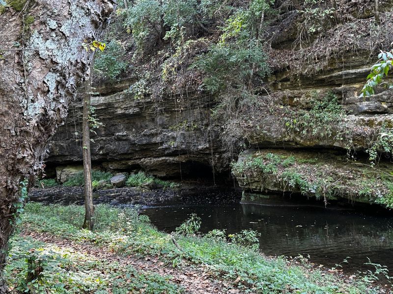
What makes Franklin Creek State Natural Area feel different from a typical Illinois woodland is written in its walls. The valley cuts through bedrock laid down roughly 450 to 500 million years ago, exposing three distinct rock formations that stack on top of one another like pages from an ancient record.
Each layer tells a different chapter of the region’s geological past.
The formations, from bottom to top, are the New Richmond Sandstone, the Shakopee Dolomite, and the St. Peter Sandstone. IDNR’s park brochure notes that the oldest formation is exposed at the bottom of the gorge, where erosion has cut deepest into the bedrock.
Dolomite, a magnesium-rich cousin of limestone, forms the middle layer, while sandstone frames both the base and upper reaches of the exposed sequence.
Calling this a limestone gorge alone would miss the full picture. The Franklin Creek Conservation Association describes the site as having limestone and sandstone bluffs above a deep bedrock valley, which is a more complete way to picture the terrain.
The gorge-like character comes from the valley’s depth and the way exposed rock rises on either side of the creek corridor, not from a single rock type dominating the scene.
Ravines cut into the valley walls in several places, adding to the rugged, enclosed feeling. Visitors walking the trail system move through a landscape shaped by hundreds of millions of years of sediment, pressure, and water.
The rock underfoot and along the bluffs is not decoration. It is the reason the valley exists at all, and understanding those three layers helps explain why this corner of Lee County looks nothing like the surrounding prairie.
Springs and Franklin Creek shape the sheltered corridor
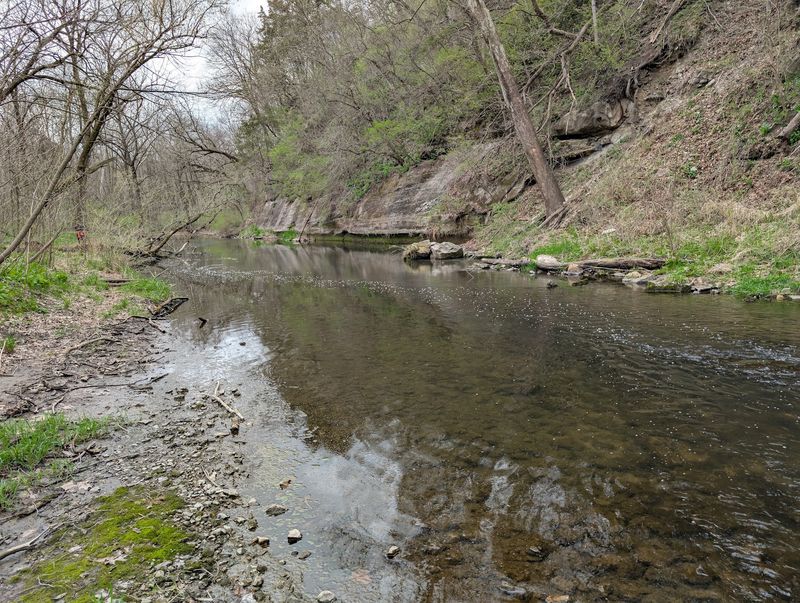
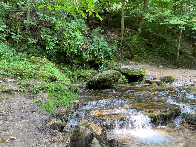
Water defines the interior atmosphere of Franklin Creek State Natural Area as much as rock does. IDNR confirms that the property contains several large natural springs and that Franklin Creek flows through the park year-round.
Together, these features create a corridor that feels noticeably cooler and more sheltered than the open land outside the valley.
An archival IDNR account of the natural area refers to the springs as large and cool, a characterization that captures their scale and the temperature contrast visitors notice near them. No measured water temperature appears in the authoritative sources reviewed, so cool is the accurate descriptive word rather than a specific number.
The springs are landscape features, not confirmed drinking-water sources, and visitors should not drink directly from them or from the creek.
Franklin Creek runs through bottomland forest along the valley floor, shaded by a canopy that closes in quickly after the trailhead. The surrounding ravines channel runoff from the uplands, and the combination of springs, ravines, and creek gives the valley a perpetually damp, green character through much of the year.
Whether the springs directly feed the creek is a question the available sources do not answer, so the relationship is best described as one of shared geography rather than confirmed hydrology.
What the water does establish is mood. The sound of the creek moving through the valley floor, combined with the cool air near the spring outflows, makes the interior feel genuinely removed from the surrounding agricultural landscape.
That sensory contrast, not any claim about hidden geography, is what makes this corridor worth seeking out.
Marked trails lead visitors into the spring landscape
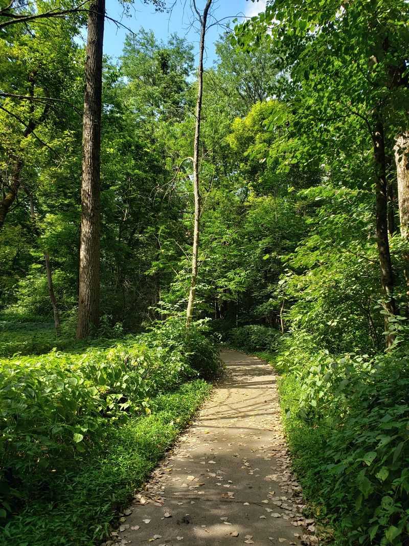
Getting into the interior of Franklin Creek State Natural Area means using the marked trail system rather than the park road alone. IDNR’s archival feature on the natural area identifies approximately 4.5 miles of marked hiking trails, including Pioneer Pass and the Mill Springs Trail.
These routes carry visitors through bottomland forest, along ravine edges, and into the deeper sections of the valley where the rock exposures and spring features become most visible.
Mill Springs Trail is the most direct route to one of the site’s signature water features. The trail runs 0.3 miles on a concrete surface, making it one of the more accessible paths on the property for much of its length.
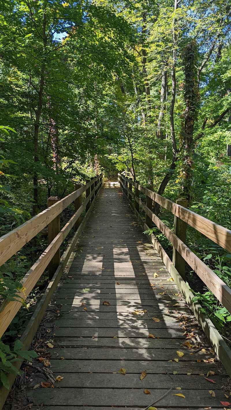
IDNR’s accessibility page for the site notes that the final approximately 150 feet of the trail uses a wooden boardwalk that needs repair and is not currently suitable for wheelchairs. Visitors with mobility considerations should factor that into their plans before heading out.
The trail system is the primary way to experience the gorge-like character of the valley. The bluffs, exposed rock layers, ravines, and creek corridor are not visible from Route 38 or from the parking area.
Walking the trails is what closes the gap between the ordinary highway landscape and the sheltered bedrock valley that gives this natural area its personality.
Equestrian trails are also available on the property for those visiting on horseback. Hikers should stay on marked paths and avoid scrambling on bluff faces or exploring off-trail areas, since the official sources reviewed do not establish those activities as designated or safe at this site.
The trails themselves offer more than enough terrain to make a full day of it.
The reconstructed gristmill connects nature with local history
Near the heart of the natural area stands a reconstructed gristmill that anchors the site’s history as firmly as the rock formations anchor its geology. IDNR describes the Franklin Creek Gristmill as built on the historic 1847 mill site, with the reconstructed building now serving as a visitor center.
The mill is open on weekend afternoons from April through October, giving visitors a seasonal window to step inside and learn about the site’s past.
A mill at this location made practical sense in the mid-1800s. Franklin Creek provided the water power that early settlers needed to grind grain, and the valley that now draws hikers and naturalists once drew farmers and merchants for entirely different reasons.
The reconstructed mill makes that connection visible rather than leaving it to imagination.
Framing the gristmill as a visitor center also signals something important about this property overall. Franklin Creek State Natural Area is managed public land with infrastructure, programming, and human history layered across its landscape.
Calling it untouched or wilderness would misrepresent what it actually is: a carefully maintained natural area where ecological values and public recreation coexist, and where a 19th-century mill site now helps visitors understand why people have been drawn to this creek valley for nearly two centuries.
For road-trippers who want more than a hike, the mill provides a tangible focal point and a reason to time a visit for a weekend. Pairing a walk on the Mill Springs Trail with a stop at the visitor center gives a fuller picture of the site than either experience offers on its own.
The mill is not a side note. It is part of what makes this particular natural area worth the detour.
Forests, prairie, and wetlands widen the experience
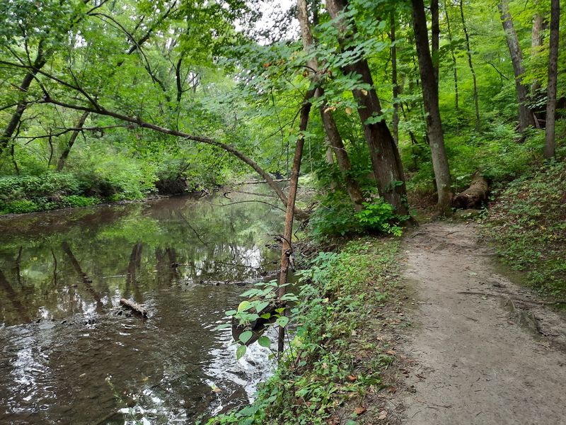
Rock and water get most of the attention at Franklin Creek, but the ecological range of the property runs considerably wider. IDNR lists habitats including bottomland forest, upland forest, hill prairie, wetlands, ravines, and cliff-associated vegetation across the natural area.
That variety means the experience shifts noticeably as you move from the valley floor to the upper slopes and back again.
Representative tree species include sugar maple, basswood, pawpaw, white oak, red oak, black oak, and shagbark hickory. Pawpaw, a native fruit tree with large tropical-looking leaves, appears in the understory and signals the moist, sheltered conditions that the creek valley creates.
The transition from bottomland species near the creek to upland oaks and hickories on the slopes happens over a short horizontal distance, which makes the trail experience more varied than the mileage might suggest.
Hill prairie patches on the upper slopes add a completely different texture to the landscape. These dry, south-facing grassland remnants are uncommon in northern Illinois and support plant communities adapted to thin soils and full sun, a stark contrast to the shaded ravines just below them.
Wetland areas and cliff-associated vegetation round out the ecological picture, supporting species that depend on the moisture and microclimate created by the springs and creek corridor.
Picnic areas, equestrian trails, and seasonal activities make the natural area accessible for a range of visitors beyond dedicated naturalists. Fishing is available on Franklin Creek and Mill Pond, though a current advisory applies (see the conditions section).
The ecological diversity of the site means repeat visitors find something different depending on the season, the trail, and how carefully they look at what grows between the rock faces and the creek bank.
Check conditions and advisories before you go
A visit to Franklin Creek State Natural Area rewards preparation. The site address is 1872 Twist Road, Franklin Grove, Illinois 61031, reached by turning off Illinois Route 38 onto Daysville Road and then Old Mill Road.
IDNR advises visitors to call ahead because weather and site conditions can result in closures that are not always announced far in advance. Pets must be kept on a leash throughout the property.
Firearm deer hunting seasons bring full closures of trails and day-use areas on specific dates. IDNR’s current site closure page lists full closures at Franklin Creek during the following 2026-2027 firearm deer-hunt dates: November 20-22, December 3-6, December 31 through January 3, and January 15-17, 2027.
Those dates are subject to change, so checking the closure page before traveling is essential rather than optional.
Anglers should know that Franklin Creek and Mill Pond carry a current fish-consumption advisory. The Illinois Department of Public Health advisory for Franklin Creek and Mill Pond provides current guidance on which fish and consumption levels are affected.
Fishing is available on the property, but eating the catch without reviewing that advisory first is not recommended.
A few activities are worth addressing directly because they might seem tempting given the springs and bluff scenery. Swimming, wading, drinking from the springs or creek, climbing bluff faces, entering any cave or rock overhang, and off-trail scrambling are not established as designated or safe activities at this site based on the official sources reviewed.
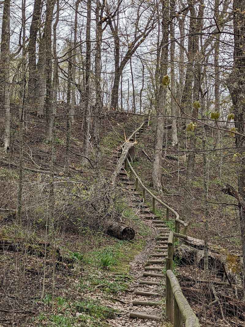
The marked trail system, the mill visitor center, picnic areas, and the fishing areas are the designated ways to enjoy the property. Trail conditions and the wooden boardwalk section near Mill Spring (currently in need of repair) are additional reasons to verify current conditions before arriving.
The secluded feeling is real, but the secret name is not
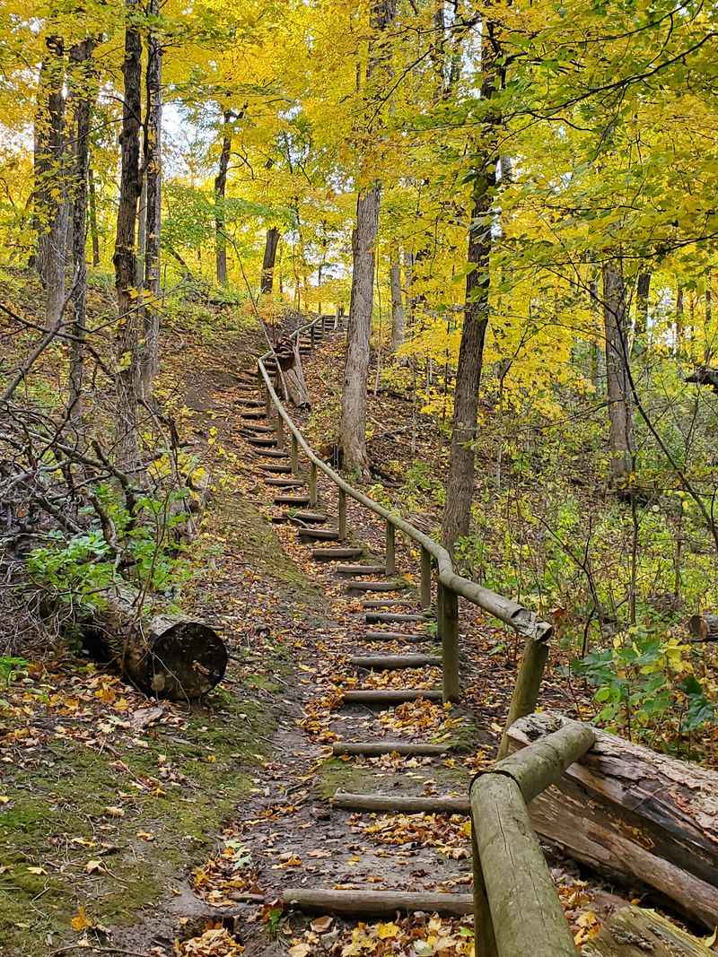
Franklin Creek is not a secret creek, and the natural area that surrounds it is not hidden from maps or from public access. Franklin Creek State Natural Area is a named, managed public property administered by IDNR, with marked trails, parking, restrooms, picnic shelters, a visitor center, and a reconstructed mill.
The Illinois Nature Preserve within it adds a layer of formal ecological protection to 198 of the 882 acres, but the site as a whole is open to the public and documented in detail.
What is real is the seclusion that arrives once you leave Route 38 and follow Old Mill Road into the valley. The exposed rock sequence, gorge-like valley, and spring-filled corridor create a sensory environment that feels genuinely removed from the surrounding agricultural flatland.
That contrast, rather than any geographic mystery, is the real draw.
The Mill Springs area and the trail network leading into the bedrock valley are the best starting points for first-time visitors who want to understand why this place earns its reputation. Current site information, trail conditions, and any active closures should be checked with IDNR before the trip.
A landscape this layered, in geology, ecology, and human history, tends to give back more the closer you look.