
Arizona’s Tick Surveillance Data Highlights The Areas Around These 12 Wooded Destinations
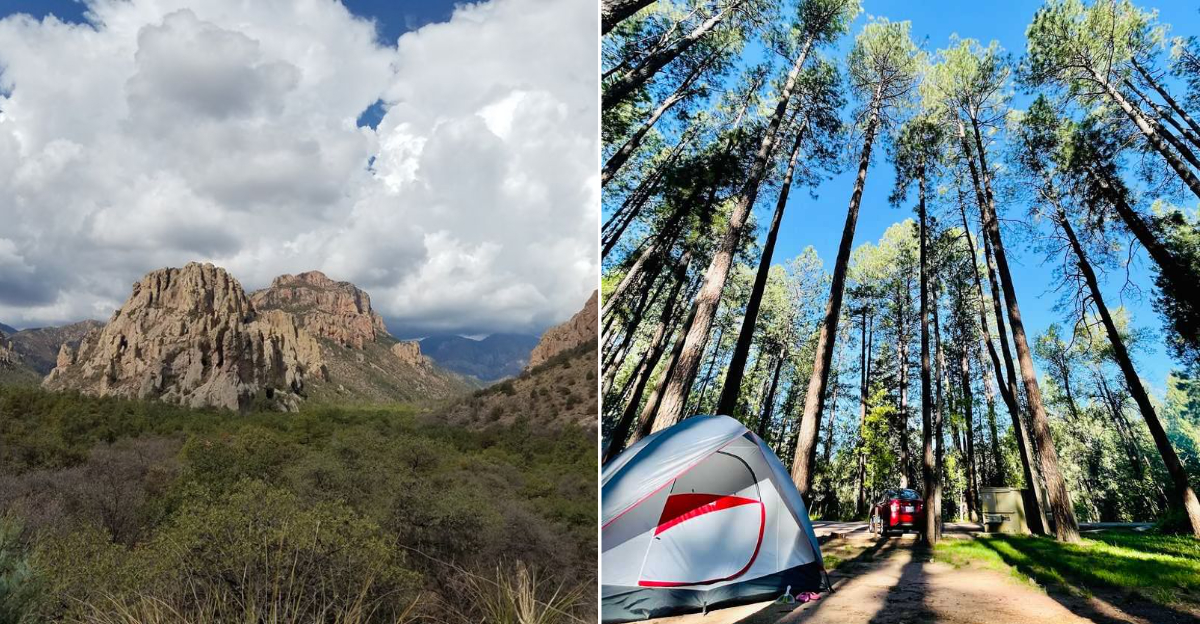
Arizona gets labeled as a land of saguaros and sun-baked highways, but climb a few thousand feet and you land in pine forests, cool creeks, and shady canyons full of oak leaves.
Those same green pockets are where state and county health workers set out traps and drag white cloth through the grass to count ticks, and their surveillance maps keep pointing at the woods hikers love most.
I have hiked plenty of these trails with long socks pulled up like a school kid, and I still think every one of them is worth the trip.
What follows is a tour of twelve forested Arizona spots that show up in tick monitoring conversations, along with what makes each one special, when to go, and how to enjoy the shade without carrying passengers home.
Bring bug spray, bring curiosity, and get ready to see a side of Arizona that smells like ponderosa bark instead of desert dust.
1. Hualapai Mountain Park, Mohave County
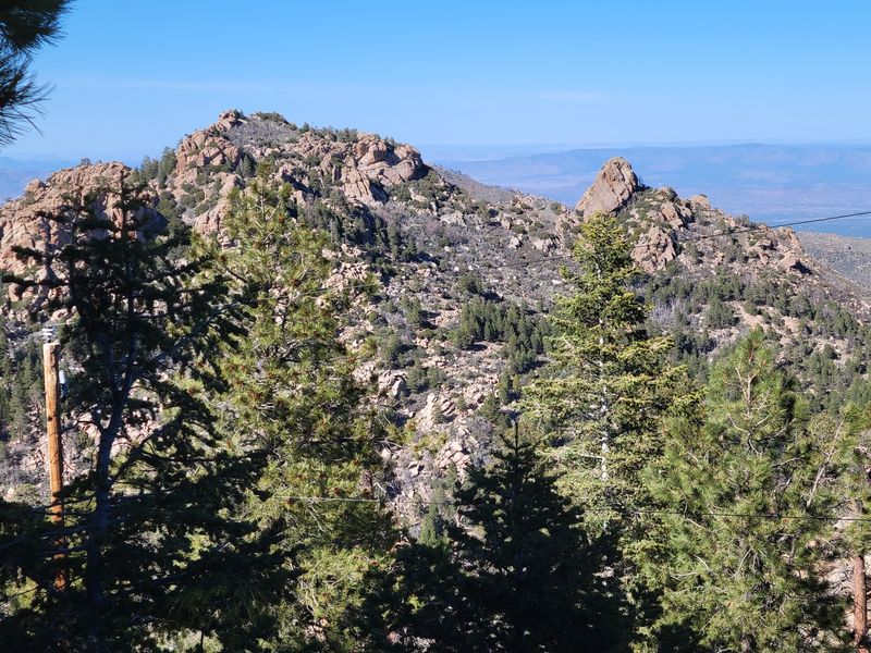
Roughly fourteen miles above Kingman, the desert quits and pine trees take over. Hualapai Mountain Park in Mohave County climbs past 8,000 feet, which explains the cabins, the aspens, and the cool breeze that surprises first-timers who packed only shorts.
Elk, mule deer, and squirrels wander the campgrounds, and where hoofed animals go, ticks often follow. Health workers watch mountain islands like this one because leaf litter and tall grass hold moisture, and moisture keeps ticks comfortable.
Trails such as Aspen Springs and the Potato Patch Loop wind through boulders the size of delivery trucks. Stay on the packed dirt, tuck pant legs into socks, and do a full body check before you drive back down.
Spring and early summer bring wildflowers and the busiest tick season, while October delivers gold aspen leaves and thinner crowds. Rent one of the stone cabins built in the 1930s if you want the full pine-scented sleepover.
Kingman sits close enough for a burger run, so nobody starves in the name of forest bathing.
2. Tonto Natural Bridge State Park, Gila County
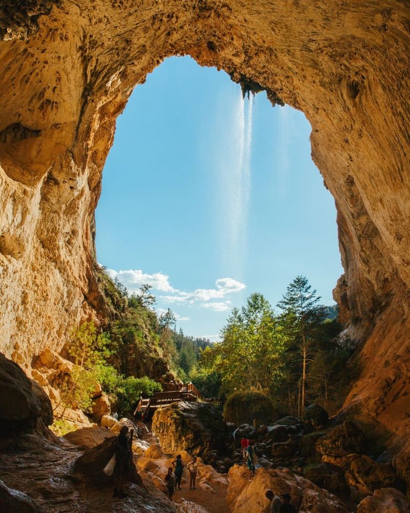
Picture the largest travertine bridge on the planet, then picture ferns dripping from its ceiling. That is the headline act at Tonto Natural Bridge State Park near Pine, Gila County, where a creek carved a tunnel 183 feet high.
The trails down to the bridge are short but steep and slick, with handrails and wet rock that demand real shoes. Vegetation crowds the path, and brushing against damp greenery is exactly how a tick hitches a ride.
Park staff and county health folks pay attention to the Rim Country because deer, javelina, and rodents move through these riparian corridors constantly. A quick check at the parking lot solves most problems before they start.
Go on a weekday morning in late spring for the best light through the arch and the fewest tripods in your way. Picnic tables sit up on the meadow, and the historic lodge tells the story of the Scottish prospector who settled here in the 1870s.
Few Arizona stops feel this lush without a plane ticket.
3. Horton Creek Trail, Gila County
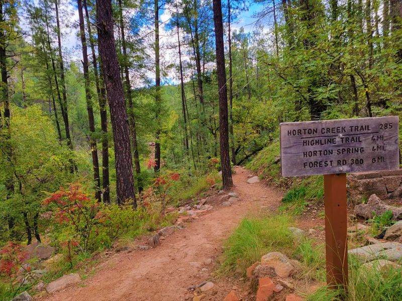
Water in Arizona always draws a crowd, and Horton Creek near Payson in Gila County draws a happy one. The trail follows an old road beside a spring-fed creek that tumbles over mossy limestone for about four miles up to Horton Spring.
Shade comes courtesy of pines, oaks, and maples, and the undergrowth grows thick right up to the path edges. Surveillance efforts across the Mogollon Rim focus on damp corridors like this because ticks wait on grass tips for a passing leg.
Light-colored pants make spotting them easier, and a permethrin-treated shirt is worth the ten minutes of prep.
Elk bugling in September turns the hike into a soundtrack, while May and June deliver rushing water and butterflies. Parking sits near Upper Tonto Creek Campground, and the lot fills early on weekends.
Bring a snack for the spring, where water pours straight out of the hillside and the temperature drops a few welcome degrees. Sit on a rock, listen, then check your ankles before rolling out.
4. Christopher Creek, Gila County
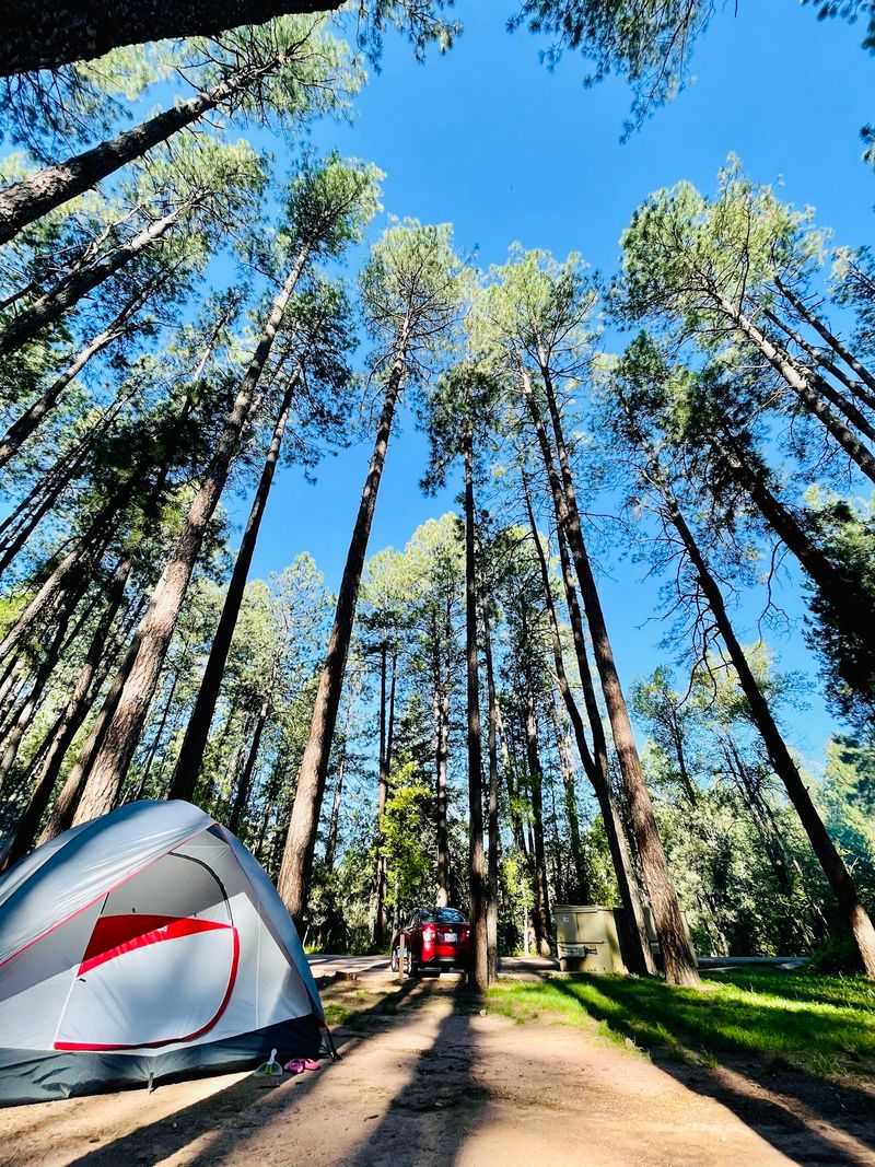
Some places are built for lazy afternoons, and Christopher Creek in Gila County is one of them. This tiny community east of Payson sits along a trout stream under the Mogollon Rim, with cabins, a campground, and a general store that feels frozen in the best decade.
Kids wade the shallows, anglers work the pools, and dogs sleep on porches. That mix of pets, wildlife, and grassy stream banks is precisely why tick monitoring in the Rim Country includes small creekside towns rather than just remote wilderness.
Check your dog as carefully as you check yourself, since brown dog ticks can travel indoors on a furry friend.
The See Canyon and Christopher Creek Loop trails start nearby and climb into thicker forest. Summer weekends fill fast because Phoenix escapes the heat here, so reserve a cabin well ahead.
Fall paints the canyon maples orange and quiets things down considerably. Order pie, watch the water, and let the pines handle the air conditioning for you.
5. Pinal Mountains, Gila County
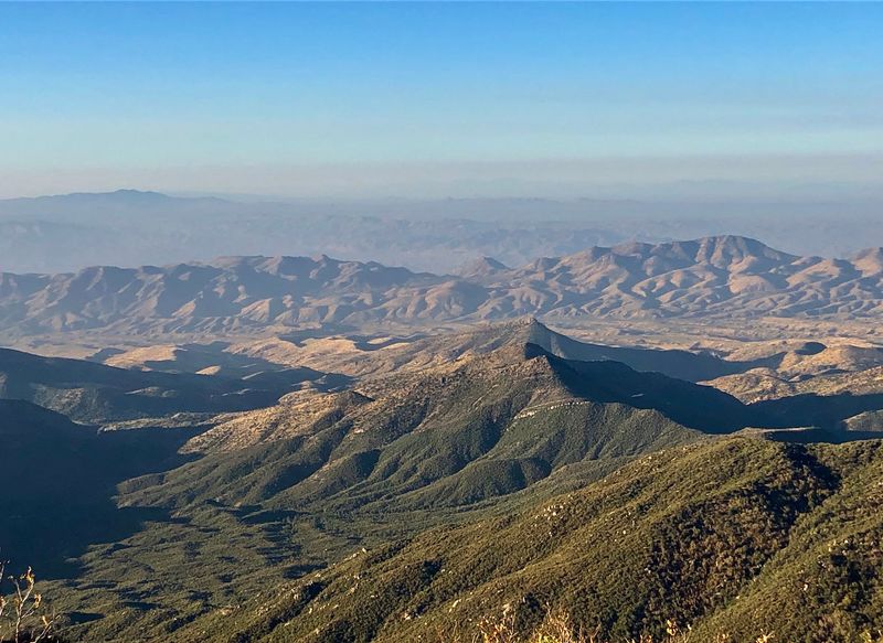
Rising straight out of copper country above Globe, the Pinal Mountains hide a forest most travelers never notice. Elevations near 7,800 feet at Signal Peak support pines, firs, and thick oak brush that shelter deer and black bears.
Because those animals share the same slopes as campers, Gila County woodlands come up regularly in Arizona tick discussions. Ticks in this state can carry Rocky Mountain spotted fever, which is one reason officials keep tabs on brushy transition zones.
Trails like Six Shooter Canyon and Ice House Canyon climb quickly and pass through narrow, leafy corridors where your legs touch vegetation constantly.
Bring insect repellent with DEET or picaridin, and toss your hiking clothes in a hot dryer when you get back to town. That single step handles anything you missed.
Views stretch across the San Carlos country and the old mining terraces below. Globe itself rewards a post-hike stop with historic downtown storefronts and Besh-Ba-Gowah, a preserved Salado pueblo dating back roughly 700 years. Quiet mountains, loud history.
6. Mount Lemmon, Pima County
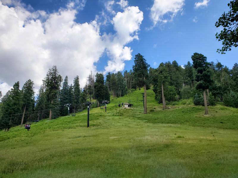
Drive twenty-five miles up the Catalina Highway from Tucson and you swap saguaros for conifers. Mount Lemmon, the high point of the Santa Catalina Mountains in Pima County, tops out above 9,100 feet and holds the southernmost ski area in the United States.
The mountain’s cool, moist canyons are the sort of habitat surveillance crews care about, since southern Arizona ticks favor shaded oak and pine zones over open desert flats. Trailheads like Marshall Gulch and Butterfly push through dense undergrowth, so long sleeves earn their keep.
Summerhaven at the top serves cookies the size of dinner plates, and the little village makes a fine turnaround point.
Pull-offs along the highway offer wild views back over the Tucson basin, especially near sunset when the city lights flicker on. Spring wildflowers and October color are the sweet spots, though winter snow brings sledding families in shorts and mittens.
Shake out your pack before loading the car, then coast back down toward the desert with pine needles in your shoes.
7. Rose Canyon Lake, Pima County
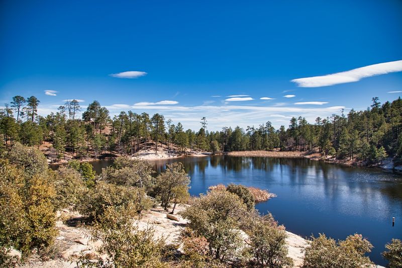
Seven forested acres of water at 7,000 feet sounds unlikely in southern Arizona, yet Rose Canyon Lake delivers. Tucked into the Santa Catalinas along the Mount Lemmon road in Pima County, the little reservoir gets stocked with rainbow trout and ringed by ponderosa pines.
Anglers cast from the shoreline while chipmunks case the picnic tables. All that grassy edge habitat, plus deer coming down to drink, keeps wooded lake basins on the radar for tick monitoring in the region.
Walking the short loop path means brushing past low plants, so a quick scan of ankles and waistbands before lunch is smart practice.
The campground nearby books out fast in summer, and the lake closes seasonally when snow shuts the upper highway. Mornings bring mist off the water and almost no noise besides jays.
Fishing licenses are required for anyone fifteen and older, and gas motors are not allowed, which keeps the whole place peaceful. Pack a thermos, claim a shady table, and let the trout decide how the day goes.
8. Madera Canyon, Santa Cruz County
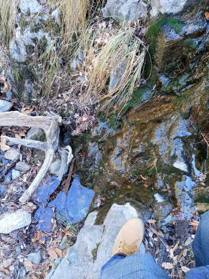
Birders arrive here with lists, lenses, and the patience of monks. Madera Canyon, cut into the Santa Rita Mountains of Santa Cruz County, records well over 250 bird species, including elegant trogons and more hummingbird varieties than most people knew existed.
Oak, sycamore, and pine shade the creek, and that layered greenery is classic habitat for ticks that ride on deer and coatis. Southern Arizona canyons show up in surveillance work for exactly that reason.
Standing still to watch birds means standing in vegetation, so treated socks and a repellent stick belong in the daypack.
The Old Baldy Trail climbs toward Mount Wrightson for a serious workout, while the Nature Trail near the lower parking areas suits a gentle stroll. Lodges and picnic sites make it easy to linger from dawn until the evening owl calls.
April through September is peak birding, and monsoon afternoons in July can turn the creek lively. Green Valley sits just down the road for supplies. Few canyons pack this much wildlife into thirteen miles of road.
9. Pajarita Wilderness, Santa Cruz County
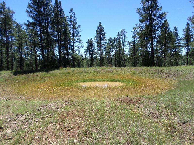
Very few Arizona hikers can pronounce it, and even fewer have been there. The Pajarita Wilderness in Santa Cruz County protects about 7,500 acres along the border, with Sycamore Canyon as its main artery of shade, water, and rare plants.
Botanists prize this canyon because Mexican species creep north into the drainage, creating a plant list found almost nowhere else in the country. Wildlife funnels through the same narrow corridor, which is how ticks find hosts in remote country far from any campground.
There is no cell service worth counting on, so tell someone your plan and pack more water than feels necessary.
The route down Sycamore Canyon involves rock scrambling and creek crossings rather than groomed switchbacks. Cooler months from October through April make the walking pleasant and the bugs less enthusiastic.
Nogales and the Ruby Road drive get you close, though the gravel demands a careful driver. Inspect clothing and gear at the trailhead, then savor the fact that you had a wilderness mostly to yourself.
10. Chiricahua National Monument, Cochise County
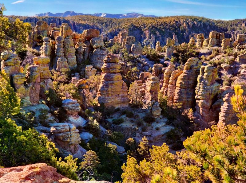
Rock spires stand in rows like a stone forest, and the Apache called the range the Land of Standing-Up Rocks. Chiricahua National Monument in Cochise County protects thousands of rhyolite pinnacles formed by a volcanic eruption roughly 27 million years ago.
Between the towers grow pines, oaks, cypress, and manzanita, creating the shaded understory that ticks in southeastern Arizona seem to appreciate. Trail corridors on the Echo Canyon and Heart of Rocks loops brush your legs for miles.
Wear light pants, use repellent, and check behind your knees at the car.
Coatimundis, javelina, and more than a dozen hummingbird species live here, and the sky at night is spectacular thanks to the monument’s dark, remote setting. Bonita Canyon Drive climbs to Massai Point for views across two states.
Spring and fall bring the friendliest temperatures, while summer monsoons green everything up in a hurry. Willcox is the nearest town for fuel and food.
No entrance fee applies, which makes one of Arizona’s strangest landscapes an easy yes.
11. Ramsey Canyon Preserve, Cochise County
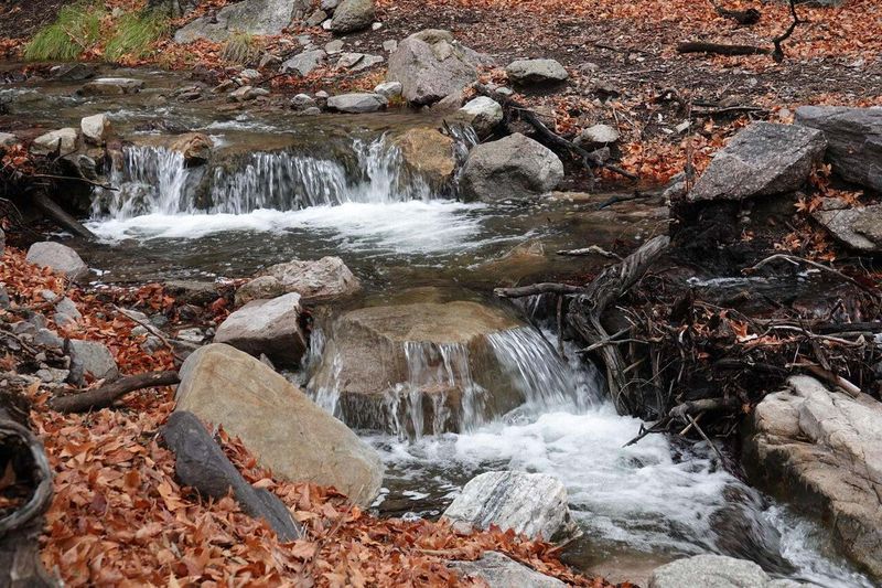
Hummingbirds are the celebrities of Ramsey Canyon, and they know it. Managed by The Nature Conservancy near Hereford in Cochise County, the preserve sits in the Huachuca Mountains and hosts up to fifteen hummingbird species during peak season.
Sycamores, maples, and columbines line a spring-fed stream, and the shade stays deep even in July. Moist leaf litter like this is prime tick territory, another reason southeastern Arizona canyons keep appearing in monitoring reports.
The main trail is short and well maintained, but tucking pants into socks costs nothing and saves worry.
Parking is limited and the preserve keeps set hours, so check ahead before making the drive up the narrow road. Benches near the visitor center let you sit and watch feeders while lesser goldfinches argue over perches.
August is the busiest month for wings, and October adds maple color to the mix. Sierra Vista is minutes away with lodging and groceries.
Quiet, green, and buzzing with tiny rotors, this canyon rewards anyone willing to slow down.
12. Cave Creek Canyon, Cochise County
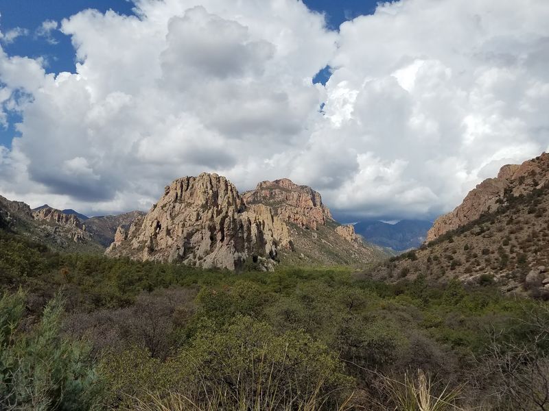
Ask a serious birder for a bucket-list address in Arizona and Portal will come up fast. Cave Creek Canyon on the eastern side of the Chiricahua Mountains in Cochise County combines red cliffs, sycamore-lined creeks, and a species list that draws researchers from around the world.
The American Museum of Natural History has run a research station here since 1955, which tells you how rich the wildlife is. Coatis, bears, and dozens of bird species move through vegetation that also supports ticks, so surveillance interest in this canyon makes sense.
Long sleeves and a post-hike clothing check are simple habits worth keeping.
South Fork Road is legendary for elegant trogons in spring and early summer, and the Silver Peak Trail delivers big views for real effort. Portal has a small lodge and store, but supplies are limited, so stock up in Willcox or Rodeo before arriving.
Nights here are famously dark and loud with insects. Set up a chair, look up, and let the canyon do the talking.