
Free Camping And A 3,000-Foot Rim Await Along This Arizona Drive
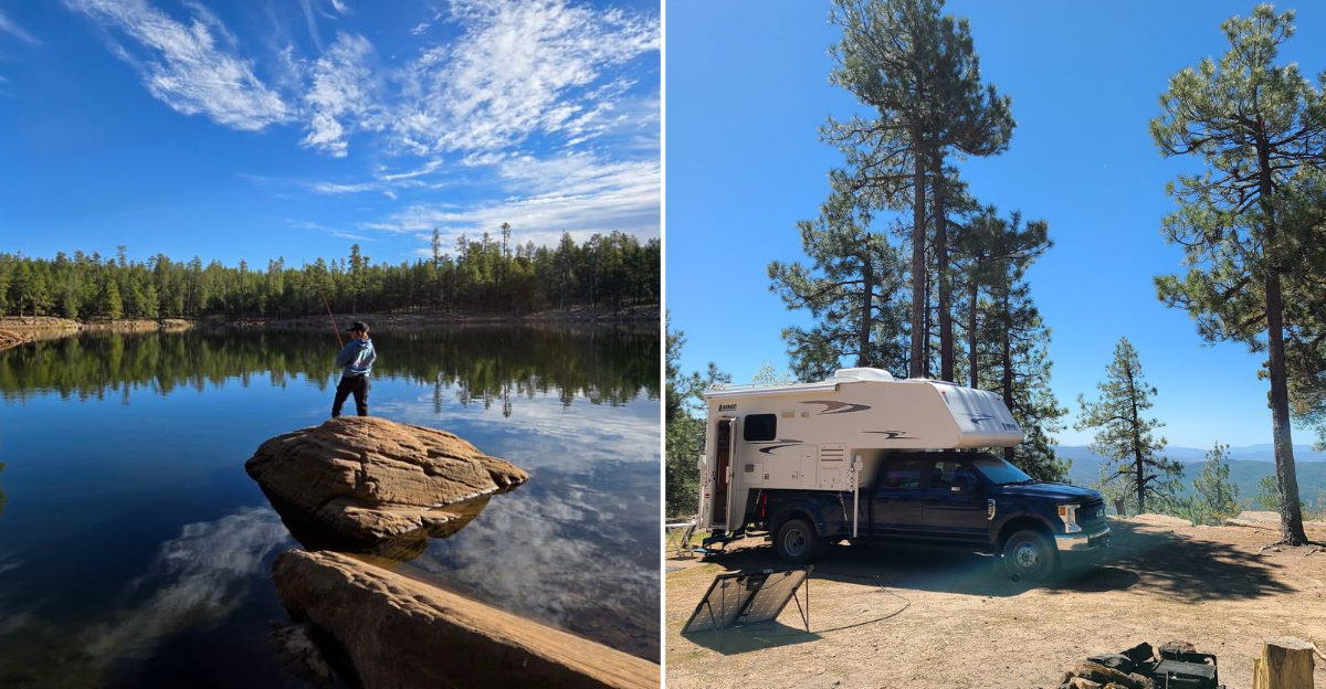
The first time I bumped my way onto Forest Road 300 north of Payson, Arizona, I had a cooler of sandwiches, a half-charged phone, and no idea that the pine trees would suddenly part and drop away into a thousand feet of open sky.
That is the Mogollon Rim for you. It runs about 200 miles across northern Arizona as the southern edge of the Colorado Plateau, and Rim Road traces roughly 42 to 45 gravel miles right along the lip of it, connecting State Route 260 on the east with State Route 87 on the west.
Camping out here costs nothing, the sunsets look painted on, and elk wander past your tent like they own the place, which they sort of do.
I want to walk you through what I learned out there: where to pull off, when to go, what to pack, and how to keep from getting stuck. Grab your keys and let me show you the edge of Arizona.
Forest Road 300 Itself, The Gravel Ribbon Along the Edge
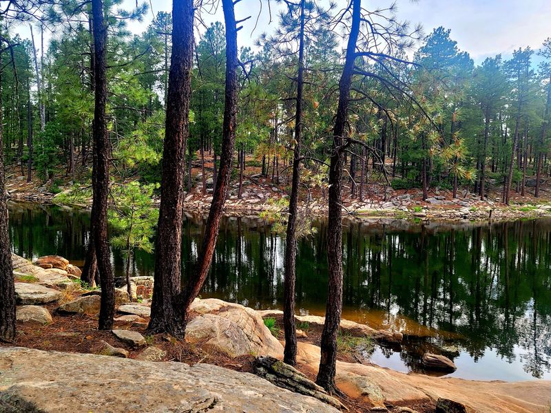
My tires crunched onto Forest Road 300 around mid-morning, and within five minutes I understood why people talk about this drive the way they do. Rim Road runs roughly 42 to 45 miles, mostly unpaved, linking State Route 260 near Forest Lakes to State Route 87 north of Payson, Arizona.
Most of it is packed gravel with washboard patches that will rattle your loose change. A regular sedan can handle it in dry weather if you take your time, but a high-clearance vehicle makes the whole thing far more pleasant.
Plan on three to five hours if you stop at overlooks, and you absolutely should stop. Speed is the enemy here, both for your suspension and for the views you will miss.
The road was originally cut as part of the old General Crook military route, which means you are rolling over history while chasing scenery. I finished the drive dusty, grinning, and already plotting a second lap in the other direction.
Free Dispersed Camping With A View You Cannot Buy
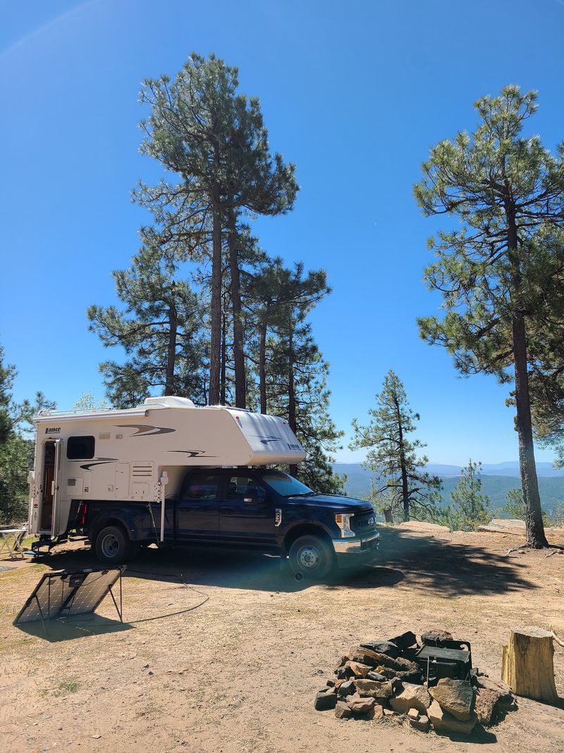
Nothing beats the moment you find an empty clearing fifteen feet from a thousand-foot drop and realize the price tag is zero dollars. Dispersed camping along FR 300 is free, plentiful, and gloriously simple.
Pull-offs and clearings appear every few hundred yards. The catch is that there are no bathrooms, no water spigots, no trash cans, and no camp host to bail you out. You bring everything in and you carry everything out, full stop.
Pack more water than you think you need, roughly a gallon per person per day, plus heavy-duty trash bags. Leave No Trace is not a suggestion out here, it is what keeps these spots open.
The 14-day stay limit gives you plenty of room for a long trip. Rim-edge sites fill fastest, especially Friday afternoons, so I now aim to arrive Thursday and claim my patch of pine needles early.
That Vertigo-Inducing Drop And The Views That Follow
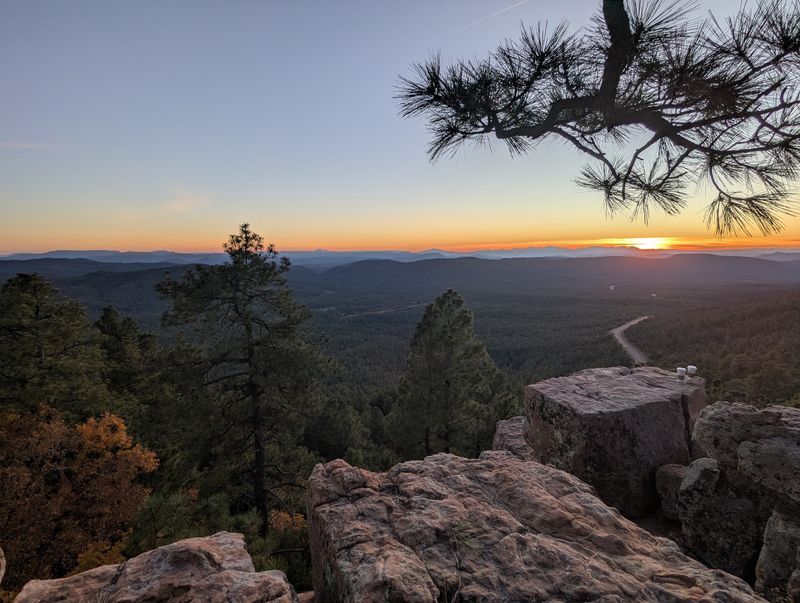
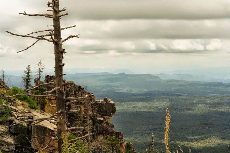
Standing at the lip with my toes a respectful distance back, I looked out over what felt like half of Arizona. Drop-offs along the Mogollon Rim plunge as much as 2,000 feet into the valleys below, with the escarpment itself topping out near 8,000 feet in elevation.
On a genuinely clear day, folks claim you can pick out Mount Lemmon more than 260 miles to the south. I could not swear I found it, but the layers of blue ridges going on forever were convincing enough.
Below you spreads a carpet of ponderosa pine giving way to desert country. Morning light softens everything, while late afternoon carves shadows into every canyon.
Bring binoculars and a windbreaker, because the breeze along the edge has opinions. I spent an hour there doing nothing but watching clouds drag their shadows across the forest, and it ranks among my favorite hours in the state.
Military Sinkhole and Rim Lakes Vista Overlooks
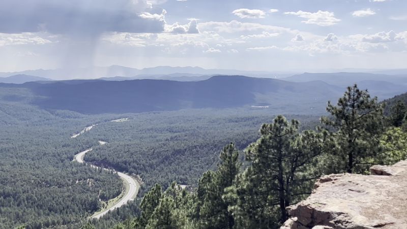
Two overlooks near the eastern end of FR 300 do the heavy lifting for visitors short on time. Military Sinkhole Vista and Rim Lakes Vista both sit close to State Route 260 and require almost no effort to reach.
Military Sinkhole comes with interpretive signs explaining the old wagon route soldiers used to haul themselves up the escarpment. Rim Lakes Vista has a paved path and a viewpoint that works well for anyone using a wheelchair or pushing a stroller.
A short trail connects the two, running about a mile and a half along the edge with viewpoint after viewpoint. I walked it slowly and stopped roughly every hundred feet, which tells you something.
Parking at both spots requires a fee pass in some seasons, so check signage. Sunset here draws a small crowd of quiet people with cameras, and honestly, that is a crowd worth joining.
Side Roads For Campers Who Want Real Quiet
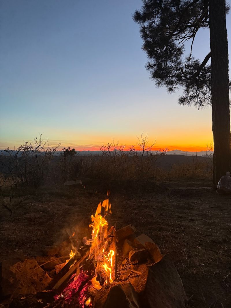
Weekend crowds on the main rim edge sent me looking for elbow room, and the side roads delivered. Spurs like FR 9512, FR 6107, FR 195, FR 169, FR 171, FR 181, and FR 33 branch off Forest Road 300 into deeper forest.
Conditions vary wildly. Some are smooth two-track, others turn into rutted messes after rain, so a high-clearance rig earns its keep here.
What you trade in rim-edge views you gain in silence. My site down one of these spurs had zero neighbors, a ring of pines, and birdsong loud enough to wake me at dawn.
Drop a pin on your offline map before you turn off, because these roads branch and rebranch in ways that confuse memory. The same 14-day limit and pack-it-out rules apply.
Quiet camping out here feels like a secret you earned rather than one you were handed.
Woods Canyon, Bear Canyon, and Willow Springs Lakes
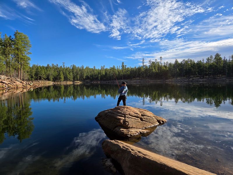
Arizona and mountain lakes are not words most people put together, yet three sit within a short drive of FR 300. Woods Canyon Lake, Bear Canyon Lake, and Willow Springs Lake all perch above 7,000 feet.
Woods Canyon is the busiest, with a store, boat rentals, and a loop trail circling the shoreline. Willow Springs is popular with anglers chasing stocked trout, and Bear Canyon requires a short walk down from the parking area, which thins the crowds nicely.
Kayaking and paddleboarding are wonderful here in warm months, and the water stays bracingly cool. Fishing licenses are required, so sort that out before you arrive.
I paddled Woods Canyon early one morning with mist still sitting on the surface and had the whole cove to myself for twenty glorious minutes.
Come on a weekday if you can, because summer Saturdays turn these shorelines into a friendly traffic jam.
Trails for Hikers And Mountain Bikers
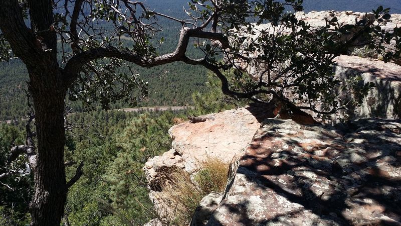
Boots or knobby tires, the Rim has something for you. Rim Lakes Vista Trail hugs the edge and stays flat, making it my go-to for a lazy afternoon stroll with big payoffs.
The General Crook Trail follows the historic military route and is marked with old chevron blazes on trees. Horton Creek Trail climbs a lively creek bed near Payson, and Derrick Trail offers a shorter loop with solid forest scenery.
Bear Canyon Lake Trail drops you to the water, and long stretches of the Arizona Trail cut through this region for anyone with serious mileage ambitions.
Elevation matters here. Coming up from Phoenix, I felt the thinner air within the first half mile, so I slowed my pace and drank more water than usual.
Afternoon storms build fast in summer, which makes early starts the smart play. Finish by noon and the rest of the day is bonus time.
Elk, Eagles, And Being Bear Aware
An elk the size of a small car strolled through my campsite at dusk, glanced at me, and kept walking. That moment sold me on Rim Country wildlife.
Elk are common in meadows at dawn and dusk, which is also when they wander onto FR 300, so drive slowly during those hours. Bald eagles work the lakes, and you may spot deer, wild turkeys, ravens, and Abert’s squirrels with their comically tufted ears.
Black bears live here too. Store food in your vehicle or a hard-sided container, never in your tent, and keep a clean camp with no scraps or scented items left out.
Keep your distance from everything, especially anything with antlers during fall rut, when bull elk get bold and unpredictable.
Binoculars beat getting closer every single time. Watching quietly from a folding chair with coffee in hand turned out to be my best wildlife strategy all week.
Night Skies Worth Staying Up For
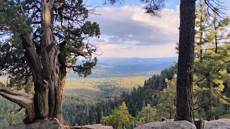
Around ten at night, I switched off my headlamp and the sky did something ridiculous. The Milky Way stretched clean across the gap in the pines, sharp enough to see dust lanes.
High elevation, dry mountain air, and very little light pollution add up to some of the best stargazing in Arizona. Camping right at the rim edge gives you an unobstructed southern horizon, which is where the good stuff lives in summer.
Bring a red-light headlamp so you keep your night vision, and give your eyes a solid twenty minutes to adjust. A simple star app downloaded ahead of time helps you name what you are seeing.
New moon weekends are darkest, while a full moon lights the forest brightly enough to walk without a flashlight, which has its own charm.
Layer up regardless of season. Nights at 7,500 feet get chilly fast, and shivering ruins even the finest constellation.
Summer Escape From The Desert Heat
While Phoenix bakes at 110 degrees, the Rim sits comfortably in the 70s and 80s. That temperature gap explains why half of central Arizona seems to migrate up here every June.
Spring and early summer bring wildflowers, running creeks, and long daylight hours perfect for hiking and fishing. Mornings can start surprisingly cool, so a fleece earns its spot in the bag.
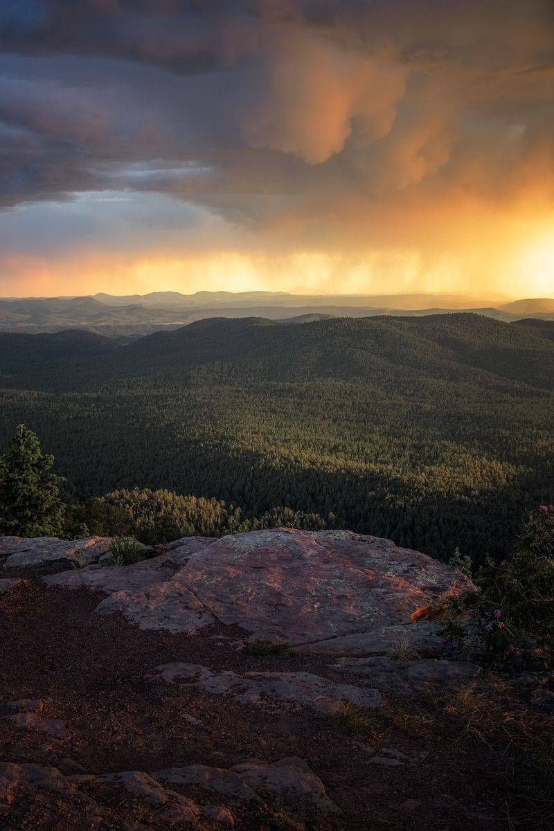
Monsoon season runs June 15 through September 30 and delivers near-daily afternoon thunderstorms. Those storms produce spectacular cloudscapes for photographers, though they also turn gravel roads slick and camping considerably soggier.
Lightning on an exposed rim is genuinely dangerous, so plan to be off the edge and back at your vehicle by early afternoon during monsoon months.
Weekends get busy, and popular sites disappear by Friday evening. I have had far better luck rolling in on a Tuesday, when the forest feels like it belongs to whoever showed up.
Autumn Gold and Winter Snow Closures
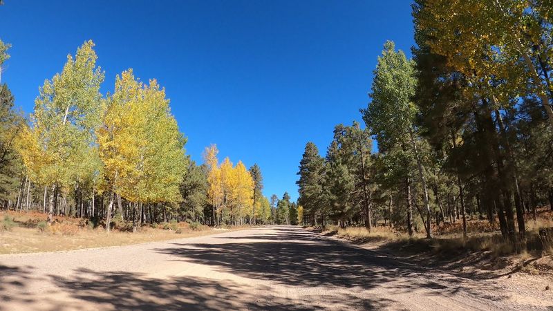
Fall might be the Rim’s finest hour. Aspens, oaks, and maples turn gold, red, and orange from late September into early November, splashing color through the endless green of the pines.
Crowds thin out considerably once school starts. Mild days and crisp evenings make for ideal scenic driving, and campsites that vanished in July suddenly sit empty.
Winter flips the script entirely. Heavy snow closes sections of FR 300 and access roads to the lakes, usually from around late fall until spring, depending on conditions.
A snow-dusted rim is quiet and beautiful, but reaching it takes planning, proper tires, and a willingness to turn around. Always check current road status with the Apache-Sitgreaves or Coconino National Forest before committing.
My favorite trip so far landed in mid-October, with a thermos of cocoa, a jacket, and maple leaves spinning across the gravel ahead of my tires. I would repeat that weekend every year given the chance.
Smart Prep: Fuel, Offline Maps, And Fire Rules
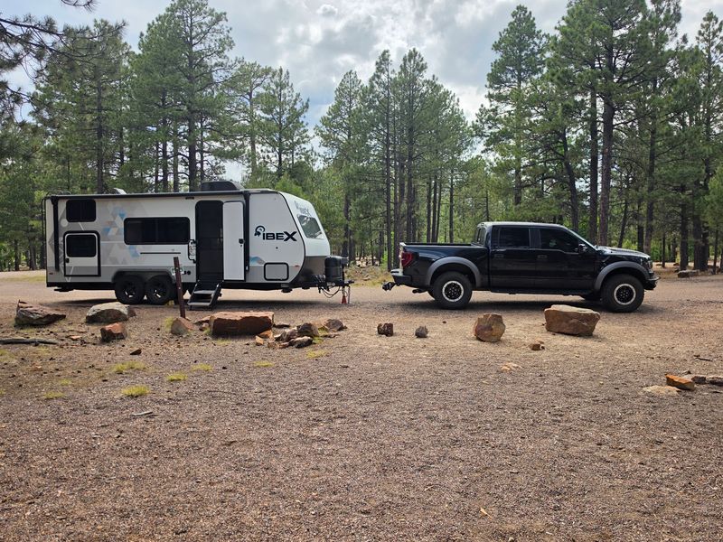
Cell service along FR 300 ranges from patchy to nonexistent, and I learned that the mildly stressful way. Download offline maps and your route before you leave pavement.
Stock up in Payson or Heber-Overgaard. Fuel, groceries, ice, and firewood all cost less and are far easier to find in town than in the middle of the forest.
Check fire restrictions every single trip. Drought conditions change the rules often, and campfires get banned outright during dry stretches, so bring a propane stove as a reliable backup.
A high-clearance vehicle handles the rough patches and side roads best. Carry a spare tire you have actually checked, basic tools, extra water, and a first aid kit.
Tell someone your rough plan and expected return, since you may be out of contact for days. A little preparation buys you the freedom to stop wherever the view demands, and on Rim Road, it demands often.