
The Most Unexpected September Scenic Drives In Colorado With Serious Payoff
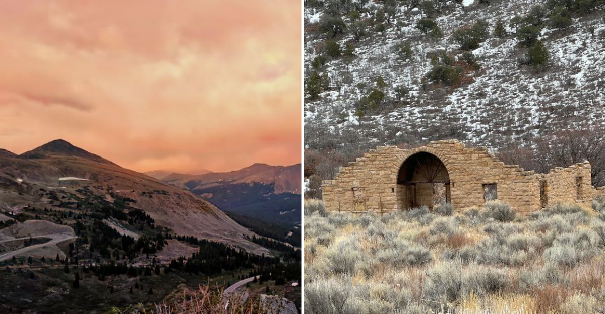
September is when familiar mountain roads start behaving like entirely new places. Gold flashes through the aspens, cooler air sharpens distant ridgelines, and overlooked routes suddenly feel worth building a whole day around.
Beyond the famous passes, drivers exploring Colorado can find broad overlooks, curious rock formations, quiet pullouts, and stretches of pavement where the traffic finally thins. That is part of the appeal: you are not chasing a checklist, you are following a road that keeps changing the view.
Bring a paper map, top off the tank, and leave enough room in the schedule to stop when something catches your eye. Some of the most rewarding fall drives are the ones nobody thought to hype.
By September, even a lesser-known highway through Colorado can deliver the kind of scenery that makes you wonder why everyone else is somewhere else. And really, that little sense of discovery is the point.
1. Kebler Pass Road, Crested Butte to CO 133 near Paonia
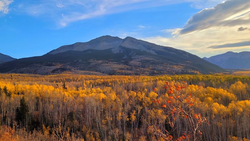
Kebler Pass Road has a funny way of making a gravel road feel like the main event. Running between Crested Butte and CO 133 near Paonia, it crosses country famous for huge aspen stands, including areas often described as among the largest living aspen groves in Colorado.
For September travelers, that matters. The payoff is not one overlook where everyone piles out at once, but a long, rolling sequence of forest, meadows, and mountain edges.
Gunnison County lists Kebler Pass as open for the 2026 season, with its May 21 opening still shown in active travel advisories, so the route is back in play after winter closure.
Kebler Pass Road is mostly unpaved, which is part of its personality. Passenger cars commonly use it in good conditions, but travelers should check current county updates before going, especially after storms.
Cell service can be limited, and the drive rewards patience more than speed.
Pair it with Crested Butte if you want a mountain town anchor, or treat the road itself as the plan. Either way, September gives this route its best argument without raising its voice.
2. Flat Tops Trail Scenic Byway, Yampa to Meeker
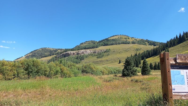
Not every Colorado drive needs a famous fourteener looming in the windshield. The Flat Tops Trail Scenic Byway makes its case with broad high country, forest openings, and the unusual profile of the Flat Tops, a volcanic plateau landscape that looks refreshingly different from the sharper ranges farther south.
The byway runs about 82 miles between Yampa and Meeker. Official Colorado byway information points to fall as a fitting season for the route, and the road generally remains available until winter conditions close it.
That makes September a smart window, after summer rush energy has faded but before snow starts bossing everyone around.
Travelers should know that this is a mountain route with services spaced out. Fill up before committing, bring water, and do not count on quick errands between towns.
The route passes through parts of the Routt and White River National Forests, so the scenery feels big without needing much decoration.
Flat Tops Trail Scenic Byway works best for drivers who like room to think. It is less about checking off a famous stop and more about discovering how quiet northern Colorado can look when the road quits trying to impress you every five minutes.
3. Cottonwood Pass, Buena Vista to Taylor Park and Gunnison County
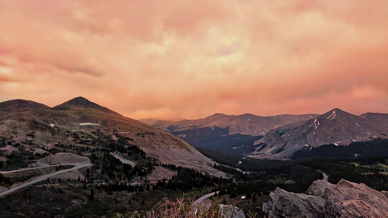
Cottonwood Pass is the rare mountain road that feels both dramatic and oddly practical. It connects Buena Vista with Taylor Park and Gunnison County, crossing the Continental Divide at more than 12,000 feet, which is high enough to make even a snack break feel slightly ambitious.
The pass is fully paved, a major plus for travelers who want big alpine scenery without committing to a rough backroad. Gunnison County opened Cottonwood Pass for the 2026 season on May 22 and continues to list that opening in its travel advisories, so September drivers can consider it a current option while still checking conditions before departure.
Here, the reward changes as the road climbs. Lower stretches bring forest and fall color, while the top opens into tundra and wide views.
Weather can change quickly at this elevation, so layers are not overthinking. They are basic mountain manners.
Cottonwood Pass also makes geographic sense for a bigger Colorado road trip because it links the Arkansas River side with the Taylor Park area. Still, do not rush it as a shortcut.
The whole point is the slow reveal from valley floor to sky-level road.
4. Unaweep-Tabeguache Scenic Byway, Whitewater to Placerville
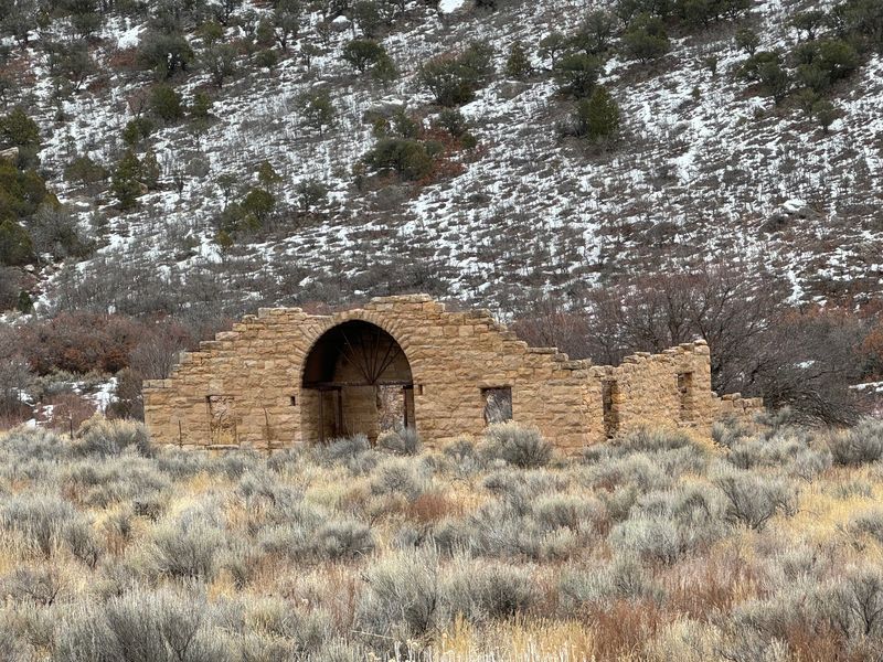
Western Colorado has a talent for looking like several states at once, and the Unaweep-Tabeguache Scenic Byway proves it without making a speech. The route follows CO 141 from Whitewater toward Placerville, moving through canyon country, red rock walls, and the unusual Unaweep Canyon, which drains in two directions from a divide inside the canyon.
That odd geography alone earns a raised eyebrow. Add September light, cottonwood color in the drainages, and the long lines of the Dolores and San Miguel region, and the drive becomes a strong choice for travelers who think fall scenery only means aspens.
It does not.
There is one practical note for 2026: CO 141 reopened after an August sinkhole closure, and motorists currently cross the repaired area over temporary steel plates. That does not remove the route from consideration, but it does mean checking current Colorado Department of Transportation updates is sensible before leaving.
The Unaweep-Tabeguache Scenic Byway is an under-the-radar western Colorado drive because it trades postcard predictability for geology with opinions. Bring patience, expect remote stretches, and let the canyon do the talking.
5. Silver Thread Scenic Byway, South Fork to Creede, Lake City and Blue Mesa Reservoir
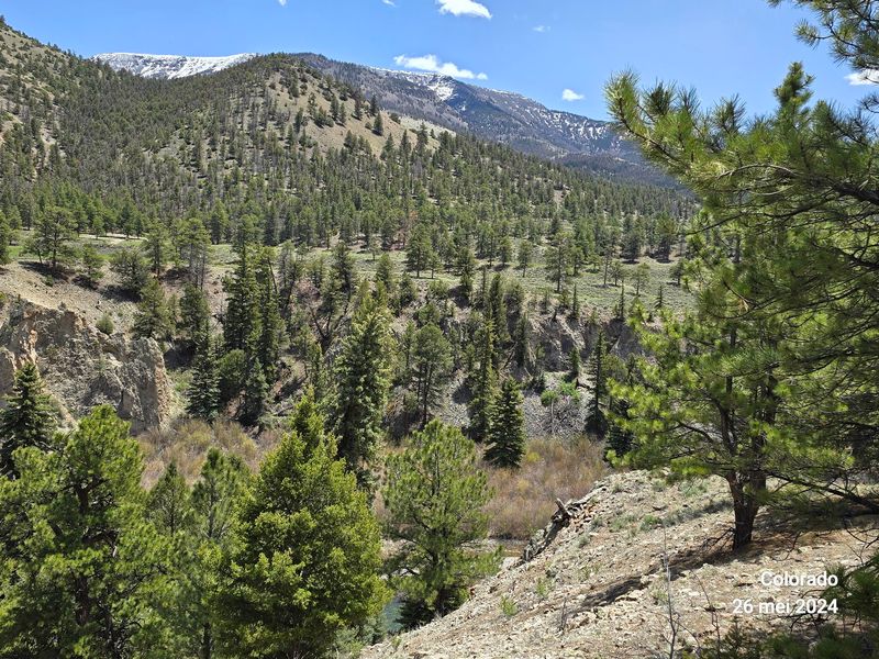
The Silver Thread Scenic Byway sounds like it should come with a prospector, a folding map, and somebody confidently misreading both. In real life, it is a 117-mile route from South Fork through Creede and Lake City toward Blue Mesa Reservoir, following a corridor shaped by mining history, river valleys, and serious mountain terrain.
Colorado’s official scenic byway information recommends the route for fall, with September-style foliage highlighted along the drive. That recommendation makes sense because the byway links several kinds of scenery instead of leaning on one trick.
Near Creede, cliffs and historic mining context give the road a rough-edged character. Around Lake City, the San Juan Mountains take over with sharper drama.
This is not a quick little loop, so plan fuel, meals, and daylight honestly. Portions of the route pass through high country where weather can shift, and services are concentrated in the towns rather than sprinkled constantly along the road.
Silver Thread Scenic Byway pays off for travelers who enjoy a route with chapters. By the time Blue Mesa Reservoir enters the picture, the drive has moved from river town to mining country to open water, which is a pretty efficient use of 117 miles.
6. Highway of Legends Scenic Byway, Walsenburg to Trinidad
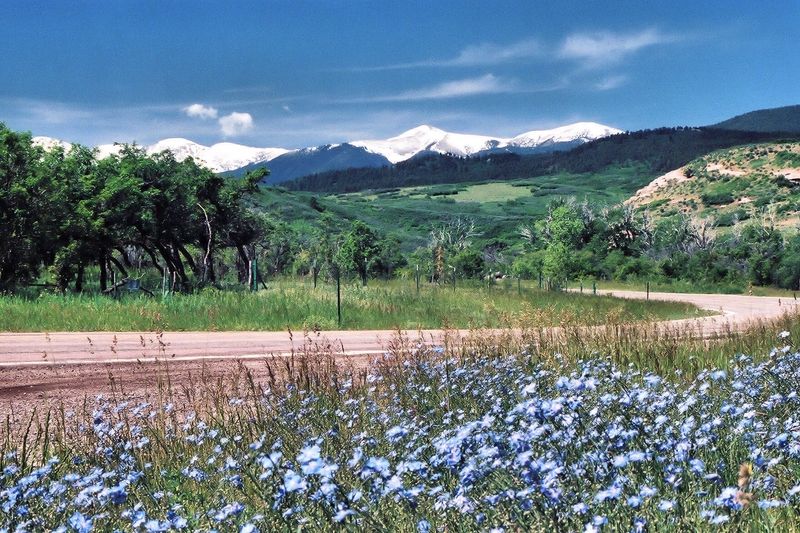
Some roads get their drama from height. Highway of Legends Scenic Byway gets a good share of its drama from geology that looks like the earth was practicing calligraphy.
The route between Walsenburg and Trinidad circles the Spanish Peaks area, where long volcanic rock walls called dikes radiate across the landscape.
The byway is open through September, which gives travelers a fall window in southern Colorado without needing to chase the highest passes. The route also passes through communities and landscapes tied to coal mining, ranching, and the distinctive profile of the Spanish Peaks, so the view has history attached to it.
For 2026, travelers should factor in construction west of Weston. The road remains usable, but delays of up to about 15 minutes are possible.
That is not a dealbreaker, unless your travel style depends on everything happening exactly on schedule, in which case mountain roads may already be plotting against you.
Highway of Legends Scenic Byway is especially satisfying because it feels different from central mountain drives. The shapes are stranger, the cultural layers are older, and the route proves that September color in Colorado does not have to come with alpine bragging rights.
7. Grand Mesa Scenic Byway, Cedaredge to I-70 east of Palisade
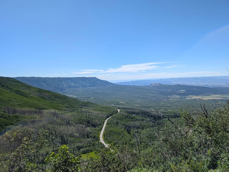
Grand Mesa does not behave like a normal mountain. It rises as a huge flat-topped landform, often described as the world’s largest flat-top mountain, and the Grand Mesa Scenic Byway lets drivers cross that elevated table between Cedaredge and I-70 east of Palisade.
The byway covers about 63 miles and is officially suitable for fall travel. September is especially useful here because the road can deliver color, forest, and high-country lakes without requiring a long expedition deep into the San Juans.
The main byway remains a viable September route, while the Lands End Road spur is the portion known for winter closure.
That distinction matters for planning. Drivers should not assume every side road has the same seasonal access as the main scenic byway.
Check current conditions if adding spurs, and remember that elevation can affect weather even when the valley below is acting casual.
Grand Mesa Scenic Byway is a strong pick for travelers who like their scenery with a little topographic weirdness. One minute the route climbs from orchard country, and later it rolls across a high plateau dotted with water and forest.
Colorado can be subtle when it wants, but not here.
8. Frontier Pathways Scenic Byway, Pueblo to Westcliffe and Colorado City
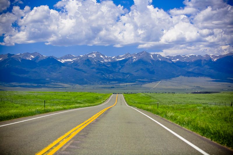
Frontier Pathways Scenic Byway has a split personality in the best road-trip sense. Starting from Pueblo, it reaches toward the Wet Mountains, Westcliffe, and Colorado City, giving travelers a route that shifts from plains-edge history to mountain views without demanding a complicated itinerary.
The byway is about 103 miles and is open across the seasons. Official Colorado tourism information specifically highlights it for fall color, which makes September a natural time to pay attention.
The Wet Mountains bring forested slopes, while the broader region gives wide views toward the Sangre de Cristo Range near Westcliffe.
Because this route branches through different communities and landscapes, it helps to map the version you want before driving. Some travelers may focus on the Pueblo to Westcliffe side, while others may include Colorado City.
Either way, the route is more rewarding when treated as a connected drive rather than a random set of turns.
Frontier Pathways Scenic Byway stands out because it does not rely on a single famous overlook. Its appeal builds from contrast: city edge, foothills, mountain valleys, and the long horizon that reminds you southern Colorado has plenty of room to work with.
9. Los Caminos Antiguos Scenic Byway, Alamosa to the New Mexico Line
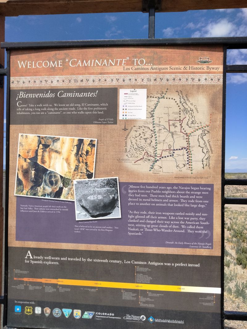
Los Caminos Antiguos Scenic Byway asks drivers to slow down for a different kind of Colorado story. The 129-mile route runs through the San Luis Valley from the Alamosa area toward the New Mexico line, crossing a landscape shaped by Hispano heritage, old settlements, agricultural valleys, and big mountain edges.
The name means ancient roads, and that is not just decorative branding. The byway includes some of the state’s oldest continuously settled communities, including San Luis, which is widely recognized as Colorado’s oldest town.
For September travel, the route is considered fall-ready, and the valley’s wide-open scale gives the season a quieter frame.
Planning does require one current road note. CO 17 has resurfacing work through September 2026, but it remains open with alternating lanes and possible delays of about 15 minutes.
Build in time, because road construction has never cared about anyone’s carefully curated playlist.
Los Caminos Antiguos Scenic Byway is not the obvious leaf-peeping choice, and that is exactly why it belongs here. Its reward comes from culture, distance, old road patterns, and a valley that makes mountains feel like punctuation marks.
10. Pawnee Pioneer Trails Scenic Byway, Ault to Sterling
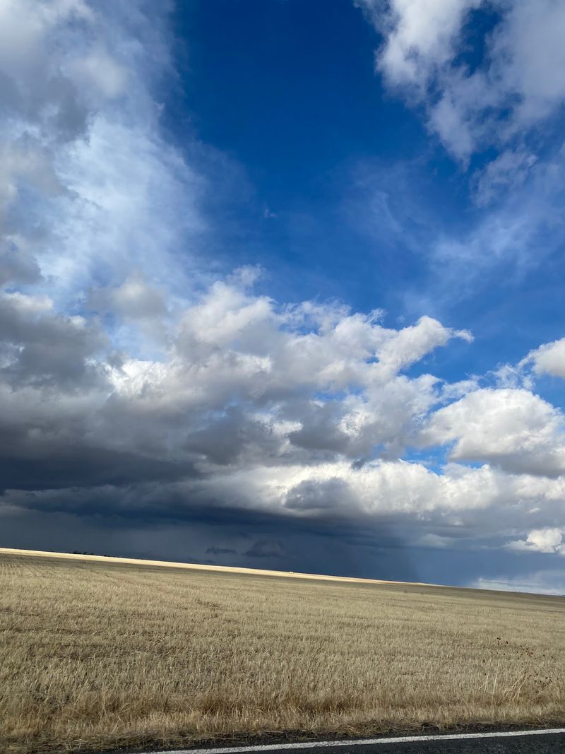
Prairie drives do not get enough respect from people who think scenery must be tall to count. Pawnee Pioneer Trails Scenic Byway runs about 128 miles across northeastern Colorado between the Ault area and Sterling, trading cliff-hanger curves for grasslands, open sky, and the quiet geometry of ranch and farm country.
The route is officially listed with fall as one of its best seasons. That timing matters because September softens the prairie palette and makes long-distance views feel like the main attraction.
The byway also connects with the Pawnee National Grassland region, known for shortgrass prairie habitat and the Pawnee Buttes area, one of the most recognizable landforms in this part of the state.
This is a drive for travelers who appreciate space. Services can be spread apart, so fuel planning is smart, and wind can be part of the experience on the plains.
None of that should scare off a prepared road tripper.
Pawnee Pioneer Trails Scenic Byway is unexpected because it refuses to compete with the Rockies on their terms. Instead, it shows another Colorado, flatter, older-looking, and wide enough to make your calendar feel briefly less bossy.
11. South Platte River Trail Scenic Byway, Julesburg
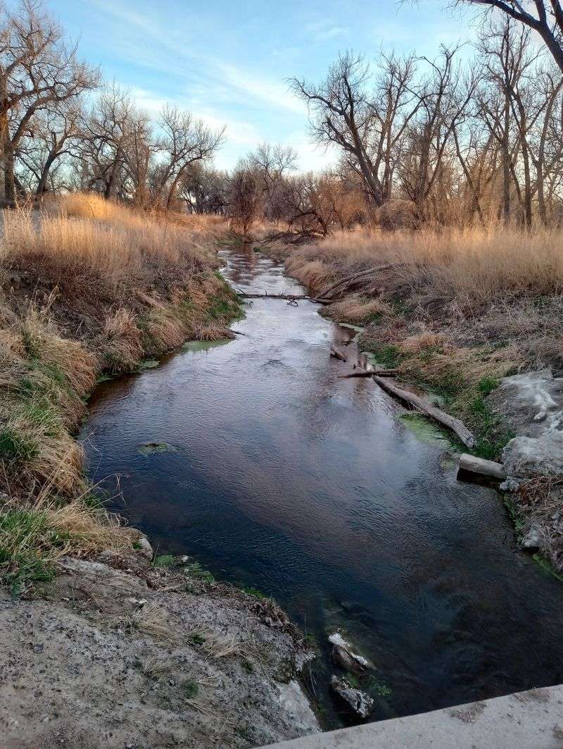
A 19-mile scenic byway sounds almost suspicious, like it forgot to finish its homework. South Platte River Trail Scenic Byway near Julesburg uses that short distance well, following a corridor tied to the South Platte River, westward migration routes, railroad history, and the northeastern corner of Colorado.
Official state byway information recommends it for fall, which makes September a practical time to consider it. The scale is part of the appeal: travelers can add the route without surrendering a whole day, yet still get a different read on Colorado than mountain passes provide.
Portions are gravel, but the byway is considered suitable for two-wheel-drive vehicles under normal conditions.
Because gravel quality can change after weather, checking local conditions is sensible. The drive works best for people who enjoy context as much as scenery.
The South Platte corridor helped guide movement across the plains, and Julesburg has long been associated with trail and transportation history.
South Platte River Trail Scenic Byway will not overwhelm your camera roll with alpine theatrics. Its payoff is quieter: a compact route where river, prairie, and history sit close together, asking for attention rather than applause.
12. Phantom Canyon Road and Gold Belt Tour Scenic Byway, Victor to Florence Area
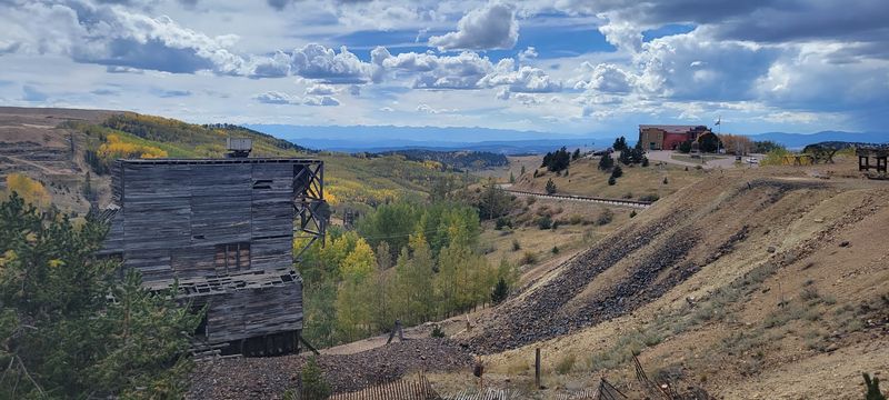
Phantom Canyon Road sounds like a place where the GPS should lower its voice. Part of the Gold Belt Tour Scenic Byway, it runs between the Victor area and the Florence area on a gravel former railroad grade that once served mining country near Cripple Creek and Victor.
The route is still an active scenic drive in September 2026, and the Gold Belt Tour is officially listed for fall travel. Its defining features are wonderfully specific: narrow bridges, rock tunnels, canyon walls, and a road alignment inherited from rail engineering rather than modern highway impatience.
That history explains the tight feel of the drive better than any travel adjective could.
Drivers should be ready for gravel, curves, and slower travel. Large vehicles and trailers are not a good fit for a road with narrow passages, and conditions can change after storms.
Checking current county or byway information before heading out is practical, not fussy.
Phantom Canyon Road rewards the kind of traveler who enjoys old infrastructure doing new work. Instead of racing between towns, the road follows the canyon’s logic, which is less efficient and far more memorable in the best possible sense.