
8 Ohio Forest Roads That Turn Into Leaf-Peeping Routes Every Fall
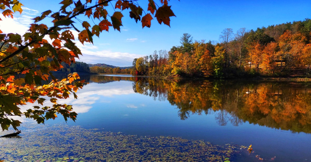
I am usually pretty happy to leave the main highway behind once the leaves start changing. In Ohio, the quieter roads often end up being the ones I remember most.
You turn onto a forest road, the traffic disappears, and suddenly there are trees on both sides and no real reason to hurry.
By October, routes like these become some of the best places in the state for fall color. A few are gravel, others are winding state roads, and most give you plenty of excuses to pull over and look around.
So let’s get off the main road. These eight Ohio routes are where the fall color really starts to show off.
1. Forest Road 1 And Forest Road 5, West Portsmouth
Ohio calls its biggest state forest the Little Smokies, and the nickname is earned.
Shawnee State Forest covers more than 63,000 acres near West Portsmouth in Scioto County, down in the southern tip of the state.
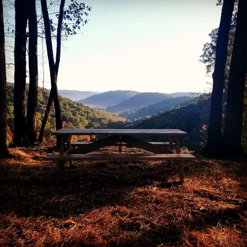
The Ohio Department of Natural Resources publishes a free self-guided auto tour here, and it makes planning easy. The route follows Forest Road 1, then branches onto Forest Road 5 for a scenic overlook.
That overlook is my favorite pit stop in the whole forest. On a clear day, you can gaze across rolling ridges toward the hills of Kentucky.
Expect a mix of paved stretches and gravel sections along the way. A regular car can handle it in dry weather, but slow down on curves and give yourself extra time.
Peak color usually arrives in mid to late October in this part of the state. Oaks, hickories, maples, and sassafras all take turns showing off, so the hillsides glow in red, orange, and deep bronze.
Cell service can be spotty, so I always download the tour map before leaving home. A full tank of gas is also smart, since stations are few and far between once you enter the forest.
Wildlife sightings are common, too. I have spotted wild turkeys strutting across the road and deer grazing at the forest edge around dusk.
If you want to stretch your legs, the forest has miles of backpacking and bridle trails. Shawnee State Park sits right next door with a lodge, a couple of small lakes, and picnic areas.
Weekday mornings are the quietest time to visit during peak season. Weekends bring more leaf-peepers, but the forest is big enough that it rarely feels crowded.
Pack a lunch, roll the windows down, and let Shawnee prove that southern Ohio can turn a gravel road into the prettiest drive of your year.
2. State Route 374, Hocking Hills
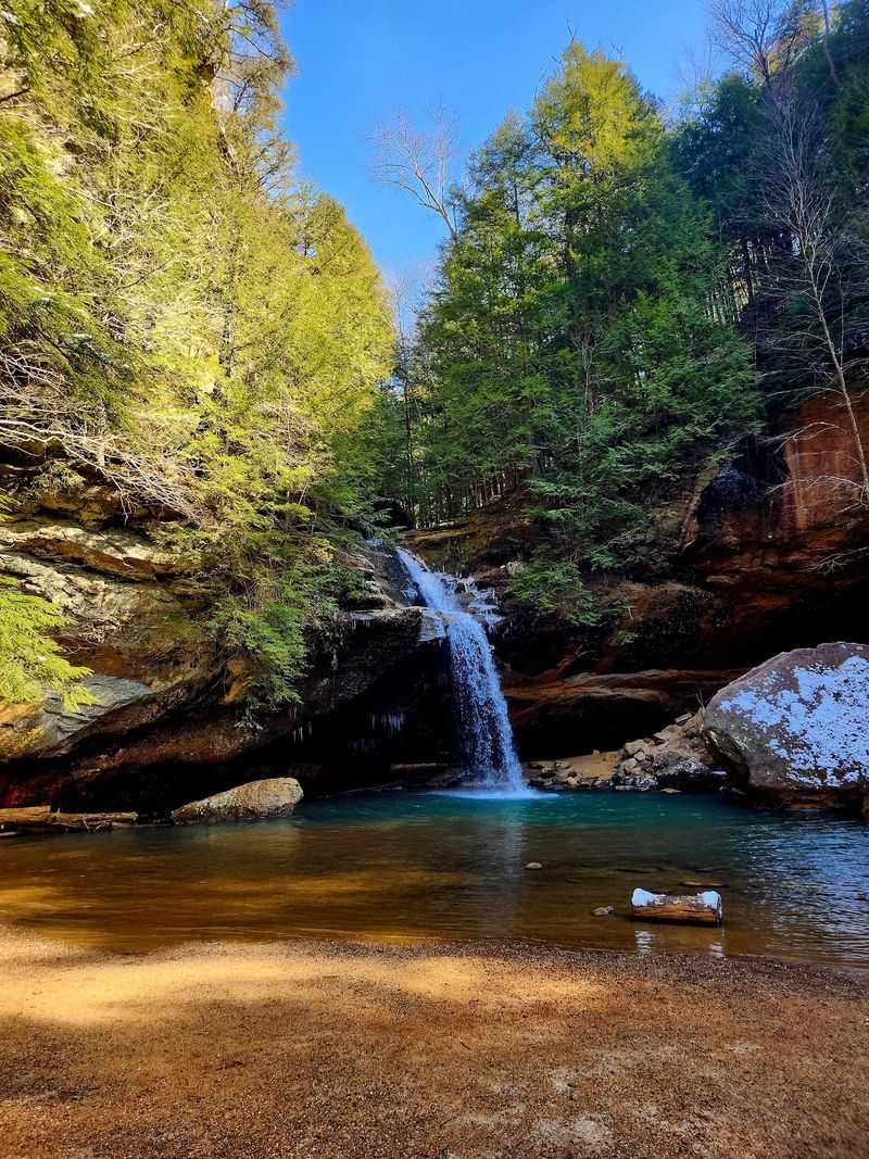
Twenty-six miles can feel like a very short drive when every curve comes with a waterfall nearby.
State Route 374 forms the backbone of the Hocking Hills Scenic Byway in Hocking County, winding through Hocking State Forest between Rockbridge and the Ash Cave area.
Along the way, it links some of the most famous stops in the region. Cantwell Cliffs, Rock House, Conkles Hollow, Old Man’s Cave, Cedar Falls, and Ash Cave all sit along or just off the route.
In autumn, long stretches of the road sit under a closed canopy of branches. Sunlight filters through gold and orange leaves overhead, and the pavement turns speckled with color.
My advice is to start early, especially on October weekends. Parking lots at Old Man’s Cave and Ash Cave fill up fast once the leaves hit peak.
Most years, color is strongest around the middle to end of October. Hemlocks in the gorges stay green, which makes the reds and yellows on the ridges pop even brighter.
Rock House is a great quick stop if you only have an hour. It is the only true cave in the Hocking Hills park system, and its tall sandstone windows frame the fall trees beautifully.
Ash Cave is another easy win for families. The paved trail is short and flat, and the recess cave is massive, stretching about 700 feet from end to end.
Conkles Hollow offers a gorge trail plus a rim trail for hikers who want a view from above. Just keep kids close on the rim, since the drop-offs are steep.
Local diners and cabin rentals sit along the byway near Logan, so finding a warm meal is simple.
Bring sturdy boots, patience for traffic, and plenty of camera storage. The Hocking Hills never do subtle in fall.
3. South Ridge Road, Laurelville
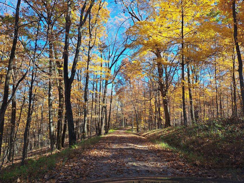
Some people want a byway. I wanted a backroad, and South Ridge Road delivered.
Tucked inside Tar Hollow State Forest near Laurelville, this ridge-top route runs high through heavily wooded hills in south-central Ohio.
The forest spreads across more than 16,000 acres, mostly in Ross County with sections extending into Hocking and Vinton counties. It ranks among Ohio’s largest state forests.
Its name comes from early settlers who collected pine tar from pitch pines growing on the ridges. The tar was used for practical purposes around homes and farms.
South Ridge Road gives you the quiet backroad feel I was looking for, with dense woods pressing close on both sides as it crosses the forest.
The route also takes you past the historic Brush Ridge Fire Tower. Built in 1934, the 73-foot tower still stands on the ridge as a reminder of Ohio’s early forest-fire lookout system.
The tower is worth stopping to see, but do not plan on climbing it. The lower stairs have been removed and the structure is not currently open for public climbing.
Fall color here tends to peak in the second half of October. Winding park and forest roads throughout Tar Hollow are known for especially vivid autumn shades.
Spring and summer drives are lovely too, but fall is when the ridge truly shows off.
Hunting seasons overlap with leaf season in state forests, so wearing something bright is smart if you step away from the road for a walk.
Tar Hollow State Park sits within the forest and makes a handy base. Pine Lake, picnic areas, trails, and camping give you plenty of reasons to stretch the drive into a longer visit.
Supplies are limited out here, so I pack snacks, water, and an offline map before heading in.
Tar Hollow rewards drivers who skip the crowds and trade busy highways for quiet woods.
4. Wheelabout Road, McArthur
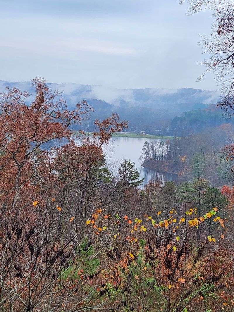
Not every great fall drive needs a famous name.
Wheelabout Road, near McArthur in Vinton County, heads away from State Route 278 and into the heart of Zaleski State Forest.
Zaleski covers roughly 28,000 acres, making it one of the largest state forests in Ohio. The forest takes its name from Peter Zaleski, a Polish banker who backed a mining company in the area during the 1800s.
The road reaches the ODNR forestry complex and the Hope Schoolhouse area. That little schoolhouse is a charming reminder of the families who once lived in these hills.
Researchers still use this road today. Ohio State University students travel it to reach Zaleski forestry programs, so it is very much a working forest road.
For leaf-peepers, that means you get a quiet, practical route with real woods on both sides. Oaks and hickories dominate the slopes, and their fall colors lean toward rich bronze, gold, and rusty red.
ODNR routinely tracks the Lake Hope and Zaleski area in its fall color reports. I check those updates each week in October before planning a trip.
The Zaleski Backpack Trail is a big draw for hikers. It is one of the most popular backpacking trails in the state, with loops that wind past old mining and furnace sites.
Short on time? Park safely near a trailhead, walk ten minutes into the trees, and just listen to the leaves crunch.
For navigation, I plug in 29371 Wheelabout Rd, McArthur, OH 45651. It gets you to the right area without guesswork.
Bring layers, since mornings in these hollows can be chilly even when afternoons warm up. A thermos of hot cocoa makes those foggy starts even better.
Wheelabout Road may sound like a dance move, but it steers you straight into some of the finest autumn woods in Vinton County.
5. State Route 278, Lake Hope And Zaleski State Forest
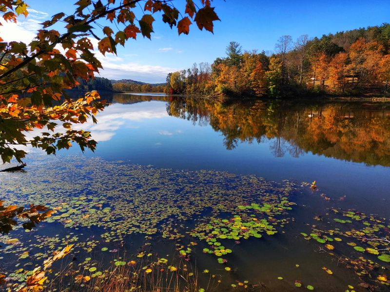
Sometimes the best leaf-peeping route is simply a well-paved state highway.
State Route 278 runs through the Lake Hope and Zaleski State Forest landscape near McArthur, in Vinton County in southeastern Ohio.
Ohio Magazine has featured a 22-mile stretch of SR 278 as a fall road trip, and I agree with that pick. It is smooth, scenic, and friendly to any regular car.
The drive passes Hope Furnace, a stone iron furnace from the 1850s. It once produced pig iron, and the tall sandstone stack still stands beside the road for a quick photo stop.
Lake Hope itself is the star of the show. The 120-acre lake reflects the surrounding hills, so on calm mornings you get double the color.
Lake Hope State Park sits along the route with a lodge, cabins, and a beach area. I like grabbing a warm lunch at the lodge dining room after a morning drive.
Bring a kayak or canoe if you want to see the shoreline up close. Paddling past orange maples on still water is about as peaceful as it gets.
SR 278 also gives access to Wheelabout Road and several trailheads. That makes it easy to mix a relaxing drive with a short hike or two.
Mid-October is usually the sweet spot for color here. Weekends at the lake get busy, so a Friday visit can save you a hunt for parking.
Keep an eye out for deer near the road around sunrise and sunset. The curves are gentle, but wildlife does not follow traffic rules.
Fall fog often settles over the water early in the day. Give it an hour, and the sun usually burns it off to reveal the full blaze of color.
For a laid-back loop with history, water, and woods, SR 278 checks every box without asking your car to rough it.
6. State Route 97, Loudonville
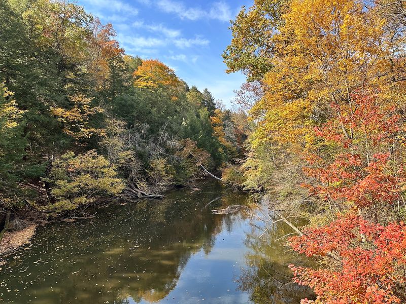
Northern Ohio gets its own fall showstopper, and it sits in the Clear Fork valley.
State Route 97 passes right through Mohican-Memorial State Forest and Mohican State Park, between Butler and State Route 3 near Loudonville.
That detail matters. Plenty of roads lead toward the forest, but SR 97 actually rolls through it, so the trees crowd right up to the shoulder.
A foliage survey of the area once singled out this stretch of SR 97 for especially strong color. After driving it on a crisp October afternoon, I can see why.
The Clear Fork of the Mohican River carves a deep gorge nearby. Tall hemlocks stay dark green along the water, while maples, oaks, and beeches blaze on the slopes above.
The gorge is even a National Natural Landmark, which is a fun fact to share at your next picnic.
Mohican State Park’s covered bridge over the Clear Fork is another photo favorite, and it sits within easy reach of the route.
One stop I never skip is the Memorial Forest Shrine. It is a small stone shrine honoring Ohio’s veterans, set among the trees of the state forest.
The shrine also connects to the forest trail system. Short walks here are soft underfoot, with pine needles and fallen leaves lining the paths.
Loudonville is known as the Canoe Capital of Ohio, and local liveries often run trips into early fall. A paddle down the Mohican River gives you a totally different angle on the foliage.
Peak color usually lands a bit earlier here than in southern Ohio. I aim for the first half to middle of October.
Nearby Loudonville has cozy cafes, ice cream shops, and small-town charm for a post-drive treat.
SR 97 proves that the north side of the state can hold its own when the leaves start talking.
7. Cutler Lake Road, Philo
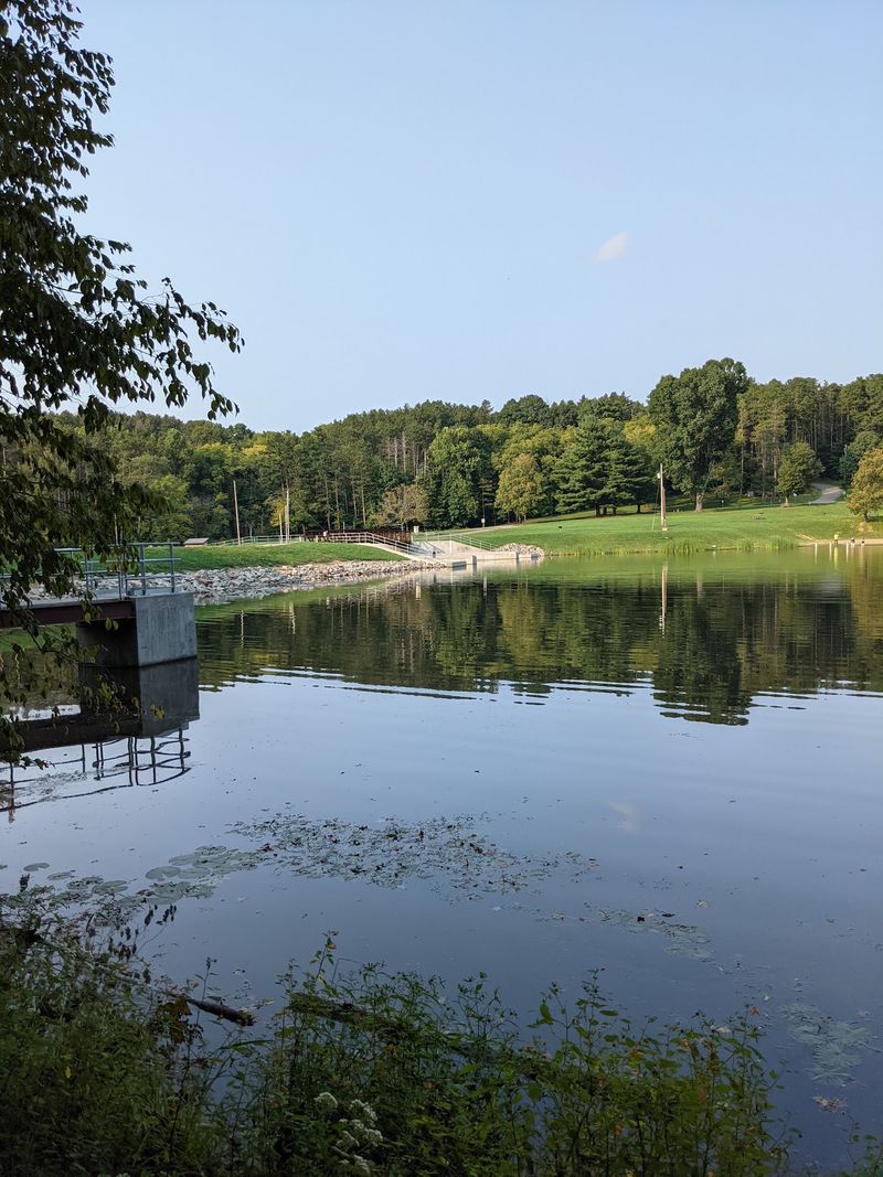
Every list needs a sleeper pick. Mine is Cutler Lake Road.
Blue Rock State Forest sits near Philo in Muskingum County, and this road runs deep through its ridges southeast of Zanesville.
ODNR’s official forest map shows Cutler Lake Road linking the southern part of the forest with Cutler Lake. Along the way, it threads through a network of wooded ridges and quiet hollows.
Blue Rock covers roughly 4,500 acres, so it is smaller than some forests on this list. What it lacks in size, it makes up for in peace and quiet.
The forest also shows up regularly in Ohio’s fall color monitoring. That means the autumn buzz here is real and not just wishful thinking.
Pine plantations mix with hardwoods throughout the forest. The deep green of the pines makes the orange and yellow leaves look extra bright against the hills.
Cutler Lake sits inside neighboring Blue Rock State Park. It is a small, calm lake with a swimming beach, picnic tables, and a campground nearby.
Horseback riders love this forest, too. Blue Rock has a network of bridle trails, so do not be surprised if you share a gravel pull-off with a horse trailer.
The roads here can be narrow and hilly. I drive slowly, use low gears on steep downhill sections, and keep headlights on under the thick canopy.
Late October is usually prime time in this corner of the state. Visiting on a weekday often means you will have long stretches of road all to yourself.
Zanesville is a short drive away for gas, meals, and a look at its famous Y-Bridge. The bridge splits in the middle, so you can literally drive across it and stay on the same side of the river.
Cutler Lake Road may fly under the radar, but its fall colors are anything but low-key.
8. Lake Vesuvius Road, Pedro
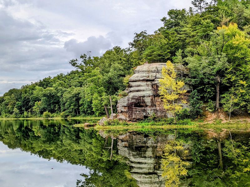
Only one national forest calls this state home, and I saved a slice of it for last.
Lake Vesuvius Road, also known as County Road 29, heads east from State Route 93 near Pedro in Lawrence County. It leads into the Lake Vesuvius Recreation Area of the Wayne National Forest.
The recreation area is part of the Ironton Unit, the southernmost section of the Wayne. Mature hardwood forest covers the rugged hills here, with plenty of oak color once October settles in.
There is one important update for 2026. Lake Vesuvius itself is currently drained while repairs continue on the dam’s gate system, so visitors should not expect the usual full-lake views, reflections, boating, fishing, or swimming this fall.
The surrounding recreation area has remained open, though, which means the forest roads, campgrounds, historic sites, and trails can still make this a worthwhile autumn stop.
Near the dam stands the massive Vesuvius Furnace, an iron furnace dating to the 1830s and one of the clearest reminders of southern Ohio’s old iron industry.
Interpretive information around the site helps put that history into context, and the stone stack makes an easy stop during the drive.
Hiking is another good reason to visit while the lake is undergoing repairs. Trails continue through the wooded hills around the recreation area and deeper into the national forest.
By October, those slopes take on shades of scarlet, amber, bronze, and gold, giving the drive plenty of color even without the lake looking the way longtime visitors remember it.
Ironton is a short drive away for gas and a hot meal after an afternoon outdoors.
Cell service can fade quickly in these hills, so download maps before you go. It is also worth checking the Forest Service’s latest Lake Vesuvius update before making the trip, since repair and refilling conditions can change.
For fall 2026, come for the forest, the furnace, and the quiet road through the hills. Save the classic lake reflections for a future visit once the water returns.