
This Enormous California Lake Was Built Over An Entire Forgotten Town
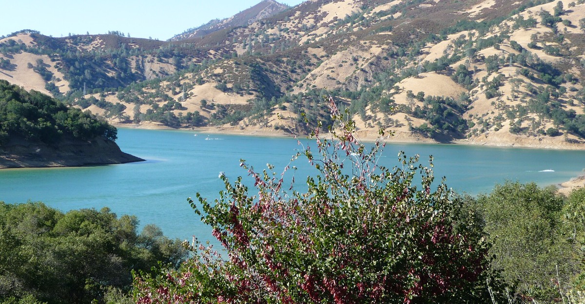
Imagine knowing the road you used to drive, the bridge you crossed, and the town where everybody knew everybody are now sitting under a California lake.
That was reality here.
Before the water arrived, this valley had farms, stores, homes, and a little community going about its business like any other place. Then plans changed, the reservoir came, and the map got rewritten in a way most towns never experience.
One detail still feels almost unreal. An old stone bridge from the 1890s remains down there beneath the water, connecting two sides of a road nobody drives anymore.
So when boats skim across the lake today, they are passing over more than deep water.
They are floating above somebody’s old route home.
Monticello Was A Real Town
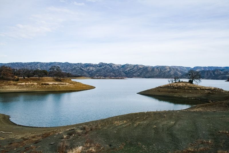
Imagine ordering lunch in a small valley town, then hearing that the whole place will someday sit beneath a lake. That was the future facing Monticello, a farming community in Napa County’s Berryessa Valley.
Before Lake Berryessa existed, families lived among orchards, fields, and ranches beside Putah Creek.
Monticello had homes, businesses, a school, and a rodeo that gave the community a reason to gather. Its setting mattered as much as its buildings.
Fertile valley soil supported agriculture, while the surrounding hills framed everyday life. A map from that time would show a town, not the broad blue shape visitors recognize today.
Calling Monticello a forgotten town can make it sound like a movie set. It was a real place where ordinary routines filled the calendar.
Picture a trip along the road, a stop at school, or work waiting in a nearby field. Those small details explain why its story still deserves attention.
If you visit the lake, try picturing the valley before the water arrived. That simple shift turns a pretty view into a chapter of California history you can almost see unfolding.
The shoreline becomes a place for curiosity, not just a backdrop for photographs. Monticello gives the scenery a name, a past, and a remarkable sense of place.
A Dam Changed The Map
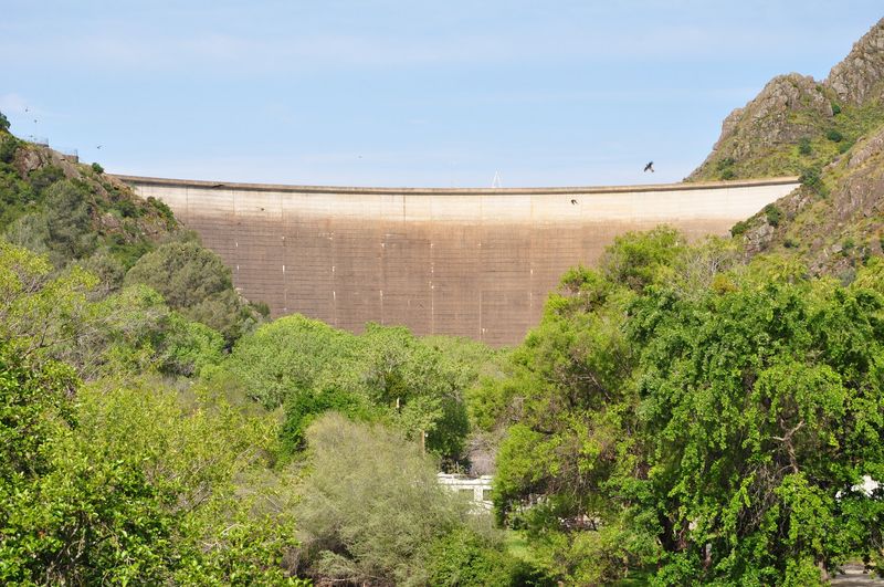
Lake Berryessa is a reservoir, created when Monticello Dam reshaped the path of Putah Creek. Construction began in the 1950s as part of the federal Solano Project.
The plan aimed to store water for communities, farms, and other needs beyond the valley.
Monticello Dam is a concrete arch tucked between hills at the southeastern end of the lake. Its curved shape sends the water’s pressure into the canyon walls.
That engineering detail sounds complicated, but the basic idea is wonderfully simple. The hills help support the structure, while the reservoir holds water behind it.
Water from the project reaches parts of Solano County, linking this Napa County landscape with places farther away. That connection explains why a quiet valley became the site of such a large project.
Today, a look at the dam helps make sense of the lake’s straight answer to a big question. Why is there a town beneath the water?
The dam created the reservoir, and the reservoir filled the valley where Monticello stood. For the clearest view of the story, look beyond the blue surface.
Notice the surrounding slopes and imagine a creek winding through the space between them. Geography set the stage; engineering changed the scene.
The Valley Prepared For Water
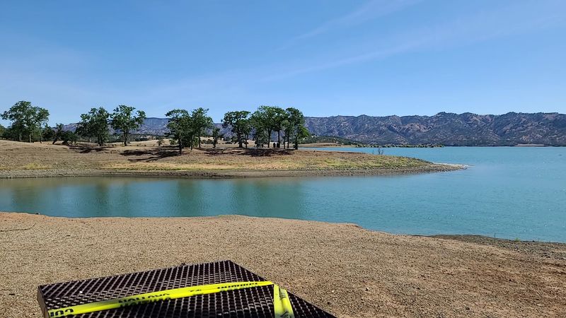
A lake does not appear overnight, especially when a town already occupies the valley. As the Solano Project moved ahead, land in and around Monticello was acquired for the reservoir.
The community’s buildings were cleared before water covered the area. Understanding that step keeps the story accurate.
Many headlines suggest an intact town waits below, ready for a dramatic movie reveal. The real picture is more interesting and more grounded.
Monticello’s streets and building sites shaped the landscape, even after many structures were removed. One especially meaningful detail is the former cemetery, which was relocated to higher ground near Spanish Flat.
Think of the change as a map gaining a new blue layer while older lines remain part of its history. By the late 1950s, water was filling the valley and creating Lake Berryessa.
The broad reservoir now makes the area feel open and spacious. Before it, roads connected homes and farms across land you cannot usually see.
When reading about submerged places, it helps to ask what was moved and what remains. That question separates a great tale from a made-up one.
Monticello’s story needs no extra mystery. A transformed landscape and a community’s recorded past are compelling enough to hold attention all on their own.
Old Clues Can Reappear
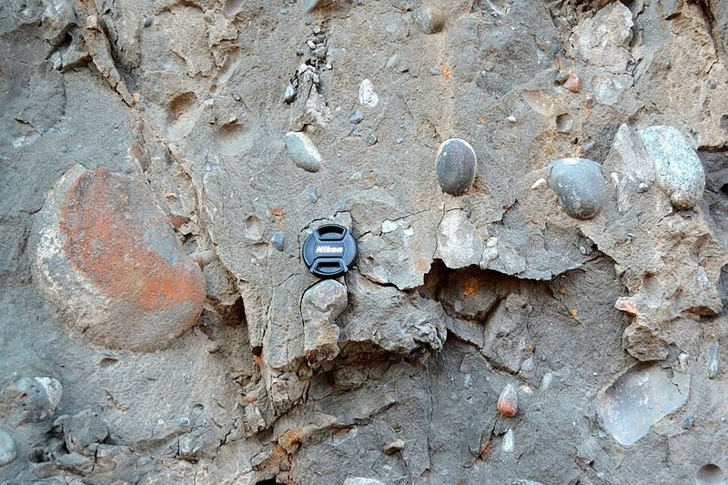
Every so often, Lake Berryessa offers a history lesson without opening a single book. When water levels drop, traces of the former valley can become visible along parts of the lakebed.
Old roadways and building foundations have drawn attention during particularly low-water periods.
The historic stone bridge associated with Monticello is another memorable clue. Built in the nineteenth century, it connected travel across the valley long before boats crossed the reservoir.
Its appearance depends on water conditions, so it is best treated as a historical possibility, not a guaranteed sight. That makes photographs and older maps useful companions for curious readers.
A visible roadway might look ordinary at first. Add its location beneath today’s lake, and suddenly it tells a much bigger story.
Water levels change with rainfall, storage needs, and the seasons. A glimpse one year may be covered again another year.
For a thoughtful visit, enjoy views from established public areas and follow current access guidance. The lakebed can change as conditions shift, while a good viewpoint still leaves room for imagination.
You do not need to touch an old foundation to understand its meaning. Sometimes a line in the distance is enough to connect two very different versions of the same California landscape.
The Spillway Has A Showstopping Shape
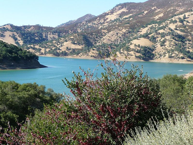
Okay, that giant circle near the dam looks like a prop from a science fiction film. It is actually the Morning Glory Spillway, a carefully designed outlet for extra reservoir water.
Its wide, round opening sits near Monticello Dam and becomes especially striking when the lake reaches spillway level.
The opening measures about 72 feet across at its rim. Water entering it travels through a passage before continuing downstream.
Think of the spillway as a built-in route that helps manage a full reservoir. Its appearance makes a practical piece of engineering look wonderfully theatrical.
The lake, meanwhile, keeps doing its everyday job as a source of stored water.
Online photos can make the opening seem close enough to inspect from anywhere. In reality, the right way to appreciate it is from designated viewing areas.
Check current access information before heading out, since viewpoints and conditions can change. Bring a camera with a zoom lens if you want a closer-looking photograph.
The spillway is separate from Monticello’s former town site, but both belong to the lake’s larger story. One reveals how the reservoir works today; the other explains what occupied the valley before.
Together, they make Lake Berryessa feel like a place with more than one fascinating layer.
Today’s Lake Has Room To Roam
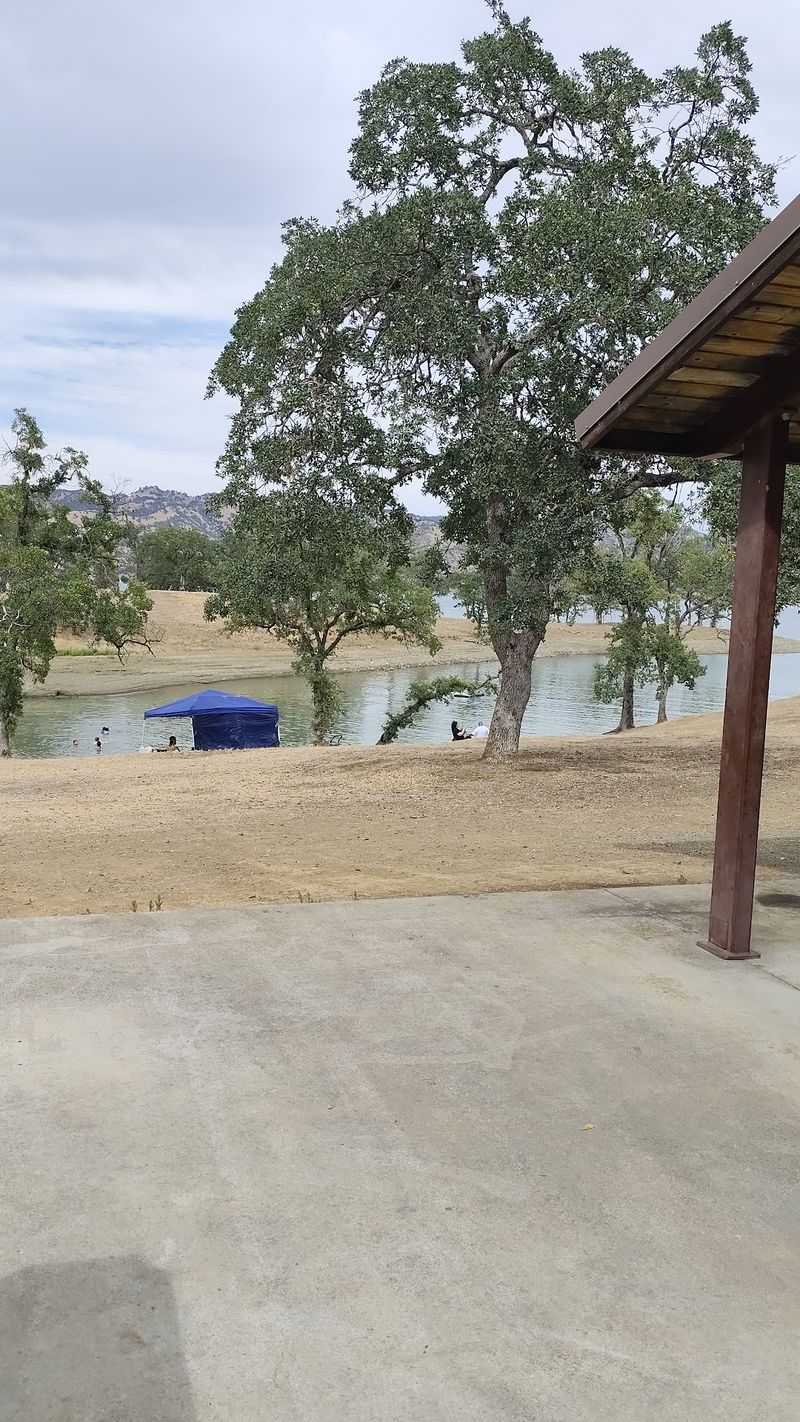
History is the surprise filling, but Lake Berryessa’s sunny surface has plenty to offer, too. The reservoir is Napa County’s largest lake, with a shoreline often described as roughly 165 miles long.
Its inlets and curves create many different views, even during a single outing.
Boating, fishing, swimming, and shoreline picnics all bring fresh energy to this landscape. Pick an activity that fits the day rather than trying to do everything at once.
A quiet overlook rewards slow looking, while a boat ride shows how the hills fold around the water. Pack drinking water, sun protection, and a map before setting out.
Conditions and recreation rules vary by location, so check current guidance for the area you plan to use.
The best part may be how naturally the past fits into a present-day visit. As you watch a boat cross an open stretch, imagine a valley road taking a very different route below.
That thought does not take away from the fun. It gives the scenery another flavor, like finding a surprising ingredient in a familiar dish.
Lake Berryessa is both a working reservoir and a place to enjoy fresh air. Its wide water invites a day out, while Monticello’s story adds a reason to pause.
Nature Adds Another Layer
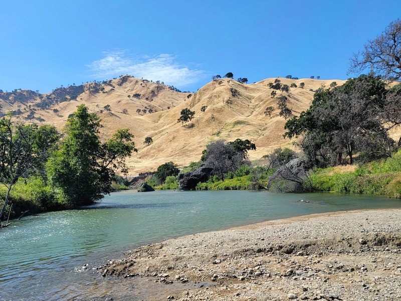
Listen past the splash of the lake, and the surrounding hills have their own lively soundtrack. Oak woodlands, creekside plants, and open slopes support a variety of birds and other wildlife.
Putah Creek feeds the reservoir, tying the blue water to a larger network of habitats.
A short, unhurried walk can reveal details a quick drive misses. Look for shifting leaf shapes, birds moving through branches, and changes between sunny slopes and shaded creek areas.
The nearby Putah Creek Wildlife Area is one place associated with habitat and outdoor exploration. Check current access information before choosing a route, and bring binoculars if birdwatching sounds appealing.
Nature also helps explain why the lake looks different across the seasons. Water levels, green hills, and dry summer grasses each change its colors.
You may arrive expecting a single dramatic view and leave remembering a tiny bird instead. That is part of the charm.
Monticello’s former valley became a reservoir, and living landscapes continue changing around it. Keep to open routes and give wildlife plenty of space.
A patient visitor gets the best reward: a clearer picture of how water, land, and living things fit together here. The lake’s history reaches below the surface, but its present reaches into every nearby branch.
The View Holds Two Stories
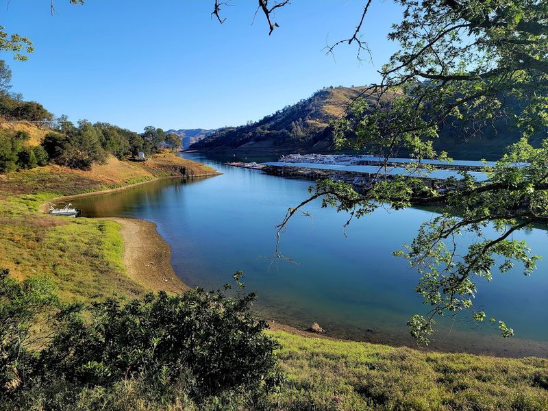
Stand beside Lake Berryessa for a minute, and a simple view starts acting like a double exposure. On top, there is sunlight, water, and a busy place for outdoor fun.
Beneath that scene lies the remembered layout of Monticello and the valley it called home.
You can make the connection without chasing a rare low-water sighting. Compare a historical map with a modern one before visiting.
Look for Putah Creek, the dam, and the broad shape of the reservoir. Then, from an established viewpoint, picture where roads once crossed the valley.
It is a small exercise, but it makes geography feel surprisingly personal.
Monticello also offers a helpful way to think about change. A landscape can serve one purpose in one era and another purpose later.
Neither view tells the whole story by itself. The town explains the lake’s past, while the reservoir shows its role today.
Share that fuller picture when a photograph of the famous spillway comes up in conversation. Its circular shape may grab the spotlight, but the valley gives the scene its depth.
Lake Berryessa’s most lasting surprise is not simply what rests below. It is how much more you can see once you know the story beneath the water.