
10 Haunted Roads Across Colorado Locals Avoid After Dark
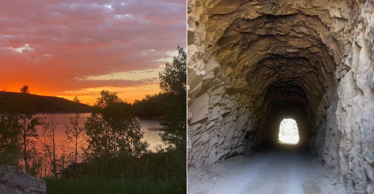
Daylight makes a mountain road look inviting. Darkness can make the same stretch of pavement feel like it remembers something.
Once the sun drops, harmless curves turn harder to read, old bridges seem quieter than they should, and empty highways suddenly give your imagination plenty to work with. Some of the strangest driving stories in Colorado come from places where history, isolation, and rumor have been sharing the same road for decades.
You do not have to believe every tale to understand why people keep repeating them. Old mining routes, canyon roads, and remote crossings already come with enough real history to make a late-night drive interesting.
Long after the campfires go out, Colorado still has roadside legends that refuse to disappear with them. So keep the headlights bright, ease off the gas when the road gets tricky, and pay attention to what is actually in front of you.
Curiosity is welcome. Careless driving is not.
1. Riverdale Road, Thornton to Brighton
Few suburban roads manage to feel as oddly rural as Riverdale Road, which runs through Adams County between Thornton and Brighton. During the day, it passes farms, irrigation ditches, homes, and stretches of cottonwoods that remind drivers how quickly Colorado can shift from city edge to open country.
Riverdale Road is one of the best known haunted-road stories in the Denver area, mostly because the setting does half the work. The narrow lanes, dark bends, and long tree lines have fed tales about strange lights, phantom figures, and the famous gates sometimes linked to local legend.
The stories vary depending on who is telling them, which is usually a sign that folklore has been busy adding extra seasoning.
Practical advice matters more than ghost hunting here. Riverdale Road is an active public road with private property along it, so stopping in driveways, creeping past homes, or wandering around is not okay.
If curiosity brings you through after dark, keep moving, obey posted signs, and remember that deer, cyclists, and other drivers are more real than any legend.
2. Gold Camp Road, Colorado Springs
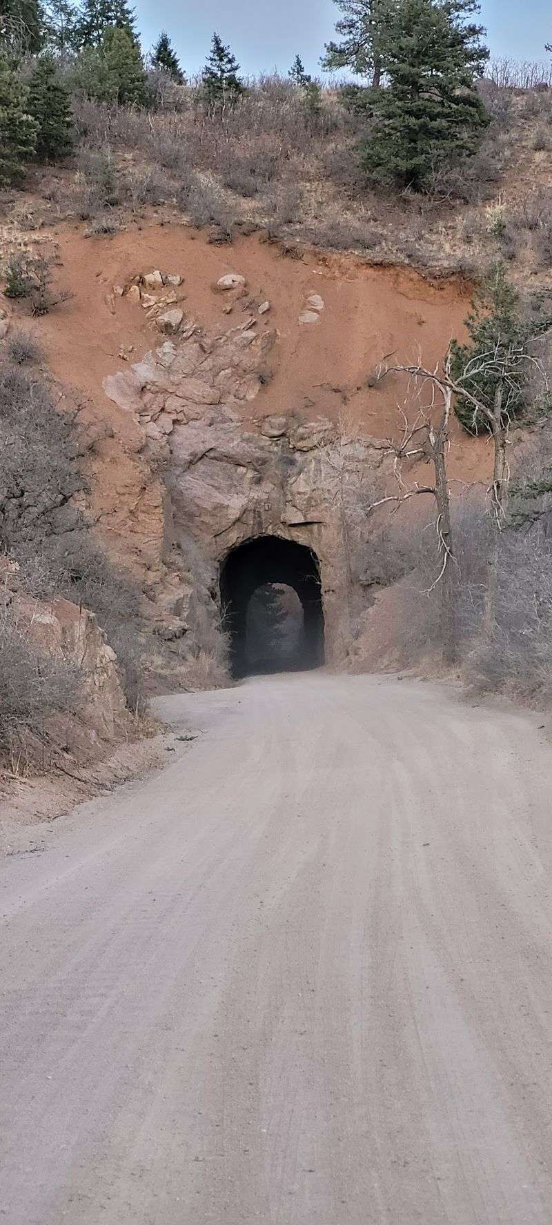
Gold Camp Road has a past that gives its ghost stories more texture than the average roadside rumor. The route follows part of the former Colorado Springs and Cripple Creek District Railway, a narrow-gauge railroad built in the early 1900s to connect Colorado Springs with the mining district around Cripple Creek.
Today, Gold Camp Road is known for mountain views, recreation access, and old tunnel sections, some of which have been closed or restricted because of rockfall and safety concerns. Its haunted reputation often centers on the tunnels, where stories mention children, echoing sounds, or eerie feelings after dark.
The railroad history is real; the ghosts remain in the category of stories people enjoy repeating with a straight face.
Planning here should start with current road conditions and closure information, not just spooky enthusiasm. Parts of the area include narrow roads, trail access, and terrain where weather or maintenance can change what is reasonable.
Respect closure signs, avoid entering blocked tunnels, and do not treat old infrastructure as a playground. Gold Camp Road is interesting enough without turning a century-old rail grade into a bad decision contest.
3. Phantom Canyon Road, Florence to Victor
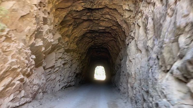
A name like Phantom Canyon Road does not have to work very hard to earn a place on a haunted list. Running between Florence and Victor, the road follows the former Florence and Cripple Creek Railroad grade through a rugged canyon landscape of rock walls, bridges, curves, and narrow passages.
The route is part of the Gold Belt Tour Scenic and Historic Byway, and that official designation is a useful clue: this is not just a ghost-story shortcut. It is a historic corridor connected to Colorado’s mining boom, with unpaved sections, one-lane stretches, and places where drivers need patience rather than bravado.
The scenery may look cinematic, but the road asks for slow attention.
Phantom Canyon Road’s legends usually involve apparitions, odd lights, or a general sense that the canyon is keeping its own attendance list. Whether that lands as folklore or fun depends on the driver.
Check conditions before going, especially in bad weather, and understand that large vehicles may be a poor fit for tight sections. After dark, the practical fright is simple: limited visibility, drop-offs, wildlife, and a road that does not care about your ghost theories.
4. Devils Gulch Road, Estes Park, Glen Haven and Drake
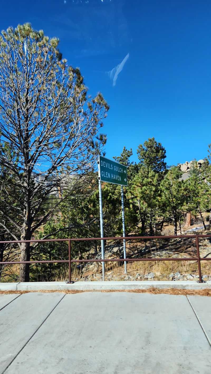
Devils Gulch Road sounds as if it were named by someone trying to discourage nighttime errands. Officially Larimer County Road 43, it connects the Estes Park area with Glen Haven and Drake through mountain terrain north of the busier Big Thompson Canyon route.
The road is real, useful, and scenic, which makes its spooky name feel almost unfair. Local lore tends to attach itself to places with sharp curves, steep hillsides, and old mountain settlements, and Devils Gulch Road has plenty of that visual vocabulary.
The area also has a serious modern history: the 2013 Colorado floods heavily damaged roads and communities in Larimer County, including infrastructure in this broader corridor, with repairs and rebuilding following afterward.
For drivers, the lesson is not to treat the name as a dare. Mountain roads can be narrow, dark, and affected by weather, rockfall, or seasonal maintenance needs.
Glen Haven is a small community, not a haunted attraction, so be considerate about noise, speed, and stopping near homes. Devils Gulch Road has enough character in daylight; after dark, it mainly asks that you keep both hands on the wheel and your imagination in the passenger seat.
5. Guanella Pass Road near Former Geneva Basin Ski Area, Georgetown and Grant
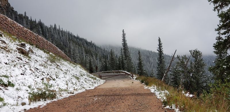
High mountain roads have a way of making ordinary silence feel like it is waiting for instructions. Guanella Pass Road, connecting the Georgetown side with the Grant side, climbs through national forest land and reaches alpine country with big views and very real weather concerns.
Near the former Geneva Basin Ski Area, the road carries an extra layer of curiosity. Geneva Basin operated as a ski area for decades before closing in the 1980s, and remnants of old ski infrastructure have long fed stories about abandoned places and nighttime unease.
The setting is not a theme park. It is high-elevation public land where storms, snow, and darkness can make a simple drive less simple.
Guanella Pass Road is also subject to seasonal conditions, and portions may close in winter depending on snow and maintenance. Anyone chasing ghostly atmosphere should first check official road status from the appropriate county or forest service sources.
Former ski areas can attract curiosity, but trespassing, entering unsafe structures, or blocking the roadway is a bad plan. The smarter move is to appreciate the strange pull of Colorado’s old recreation history while giving the mountain the respect it has not politely requested, but definitely expects.
6. Bennet Road, South of Carter Lake near Berthoud
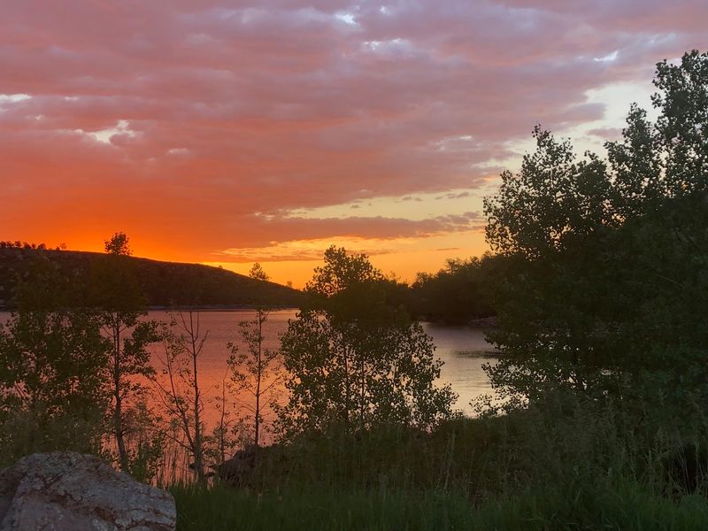
Bennet Road south of Carter Lake is the kind of local route that can look harmless on a map and feel much larger once daylight leaves. The Carter Lake area, managed by Larimer County, includes a reservoir, campgrounds, boat ramps, and foothills terrain west of Berthoud and Loveland.
The haunted reputation around Bennet Road tends to come from its rural setting near water, hills, and stretches where houses and lights can be spaced out. Stories vary, as roadside legends usually do, but they often lean on the uneasy feeling of being between developed areas and open land.
That does not make the road supernatural; it does make it a place where drivers should avoid treating darkness like a costume.
Because Carter Lake is a managed recreation area, visitors should pay attention to posted rules, entrance requirements, and seasonal notices when using nearby facilities. Bennet Road itself serves real traffic, including residents and people heading to recreation sites.
Do not stop in travel lanes or wander onto private property for a better ghost story. If the route ends up on your night drive, take it slowly, watch for animals and curves, and let the lake keep its mysteries without adding a tow truck to the evening.
7. US Highway 40 at Berthoud Falls, Empire and Berthoud Pass Area
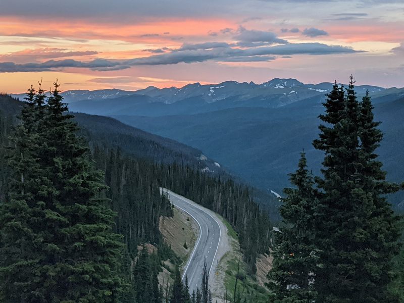
US Highway 40 near Berthoud Falls sits in a part of Colorado where the road has to negotiate with the mountains. The highway climbs toward Berthoud Pass, an important route between the Empire area and Winter Park, with steep grades, tight curves, and weather that can change the plan quickly.
Berthoud Falls is a small place name on a serious piece of highway geography. The pass reaches more than 11,000 feet in elevation, and Colorado transportation officials regularly warn drivers about winter conditions, chain laws for commercial vehicles, avalanche work, and closures when storms demand it.
Haunted tales in this area often grow from the old mountain-road ingredients: darkness, isolation, falling snow, and the feeling that headlights only solve part of the problem.
That makes US Highway 40 less of a ghost hunt and more of a respect test. Before driving at night, check current conditions through official Colorado road resources, especially outside summer.
Fuel, phone signal, and tire condition matter more here than a good playlist. If Berthoud Falls appears in your plans, treat the road as mountain infrastructure first and folklore second.
The pass has enough real personality without drivers adding theatrical panic to the switchbacks.
8. US Highway 550, Million Dollar Highway, Ouray to Silverton
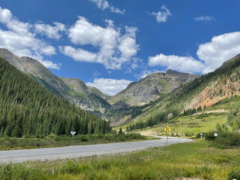
The Million Dollar Highway does not need ghost stories to raise a driver’s pulse. US Highway 550 between Ouray and Silverton crosses the San Juan Mountains, passing dramatic cliffs, tight curves, and high terrain that has made the route famous far beyond southwestern Colorado.
The road is part of the San Juan Skyway, a nationally recognized scenic byway, and its history is tied to mining access and mountain travel. Some sections are known for limited shoulders and exposure, which explains why many drivers talk about this highway with the same careful tone they use for expensive china.
Add darkness, winter weather, or unfamiliar rental-car confidence, and the haunted label starts to sound like common sense wearing a cloak.
Stories along US Highway 550 often involve old mining sites, lonely stretches, and the uneasy feeling of driving where the mountains stand very close. The practical advice is simple: check conditions, avoid distractions, and do not let passengers pressure you into sightseeing from the driver’s seat.
Pull over only where it is legal and safe. Between Ouray and Silverton, the road supplies all the drama required, and it does not refund courage if you spend too much too early.
9. US Highway 285, Central Colorado Mining Country
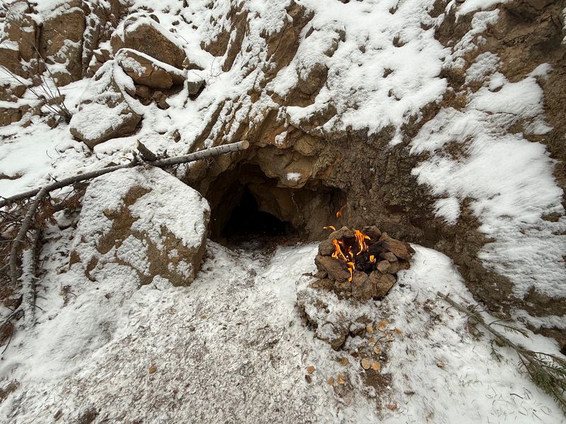
US Highway 285 is not one spooky lane; it is a long Colorado workhorse that changes character as it moves through foothills, valleys, small communities, and old mining-country stretches. That variety helps explain why ghost stories cling to different parts of it like burrs on hiking socks.
In central Colorado, the highway connects travelers with places shaped by mining, ranching, railroads, and mountain settlement. Depending on the stretch, drivers may pass near historic districts, open South Park landscapes, or routes leading toward former mining towns.
The haunted-road reputation is less about one single legend and more about the feeling of crossing large spaces where history is visible but not always neatly labeled.
US Highway 285 is also a major route, not a back-road novelty. Traffic can include commuters, trucks, vacationers, and drivers heading toward mountain towns, so slow ghost cruising is both rude and unsafe.
Weather can change fast, especially at higher elevations and in open areas where wind and snow matter. If old cabins, mine remnants, or dark ridgelines catch your attention, enjoy them from proper pullouts and public places.
The highway already has enough stories without anyone inventing a roadside parking experiment.
10. I-70 through Glenwood Canyon, Glenwood Springs Area
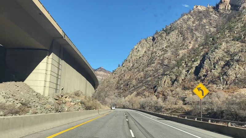
I-70 through Glenwood Canyon feels almost too engineered to be real. East of Glenwood Springs, the interstate threads through steep canyon walls beside the Colorado River, using elevated roadway sections, tunnels, retaining structures, and careful design to fit a major highway into a narrow natural corridor.
The modern Glenwood Canyon segment was one of the last pieces of Interstate 70 completed in Colorado, opening fully in 1992 after years of complex construction and environmental planning. That fact alone separates it from the older mining roads on this list.
Its haunted feeling comes less from folklore and more from scale: huge cliffs, fast traffic, limited space, and the knowledge that the canyon has seen rockfall, flooding, and closures over the years.
Night driving here calls for attention, not ghost theatrics. Colorado transportation crews monitor the canyon closely, especially after wildfire burn scars increased concern about debris flows during heavy rain.
Before traveling, check official road updates if weather looks unsettled. The canyon has rest areas and recreation access points, but the interstate itself is not a place for sudden stops or spooky photos.
Glenwood Canyon is impressive enough when everyone behaves like they have somewhere reasonable to arrive.