
North America’s Highest Continuous Paved Highway Climbs Above 12,000 Feet In Colorado
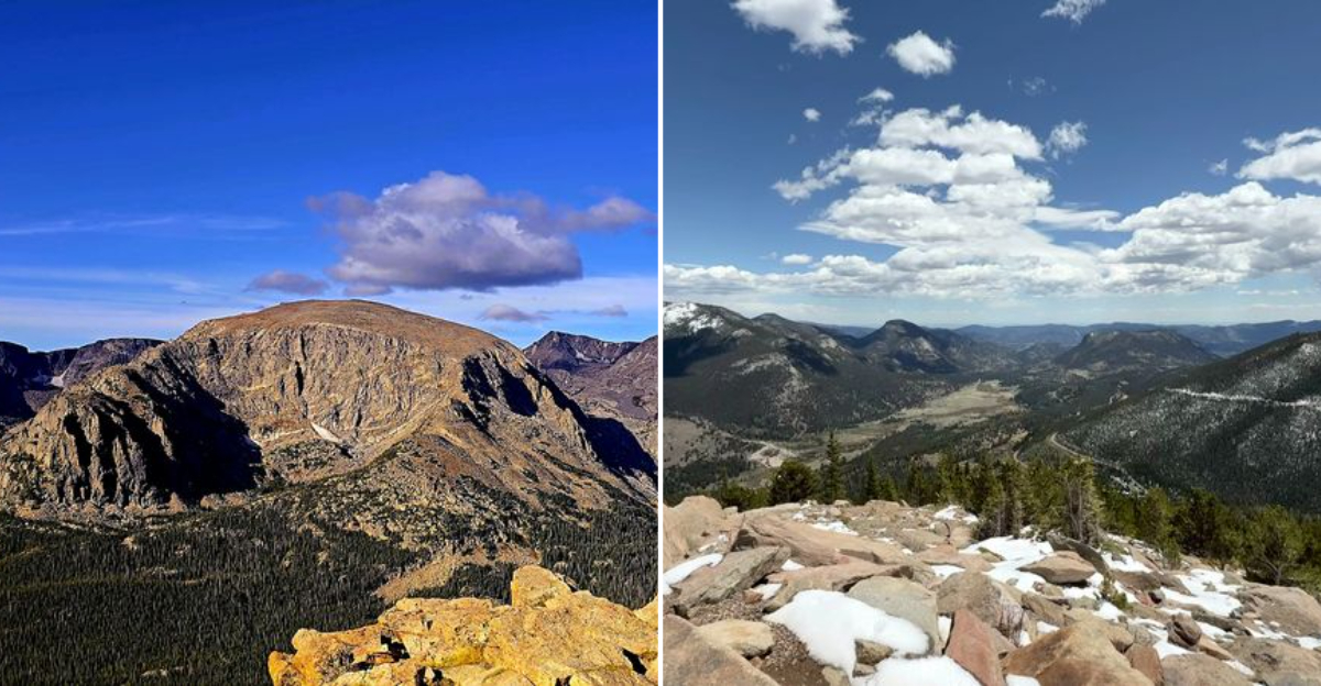
Some mountain drives make you work for the view. This one does the opposite, letting the road handle the climbing while you watch the landscape grow bigger, wilder, and somehow quieter with every mile.
For travelers chasing memorable scenery in Colorado, that is a pretty good bargain. The route rises above 12,000 feet, trading forested stretches for sweeping alpine views without demanding a complicated hiking plan or a trunk full of expedition gear.
You can simply follow the pavement, pull over when something catches your eye, and let the elevation do the dramatic work. That ease is part of the magic.
One minute the day feels ordinary, and the next you are looking across ridgelines that seem to stretch forever. By the time the road reaches its highest sections, it becomes clear why a drive like this can make a weekend in Colorado feel unexpectedly epic from start to finish.
A High Road That Solves The Planning Problem
Some outings ask for reservations, gear piles, and a family meeting that should probably have snacks. Trail Ridge Road is simpler.
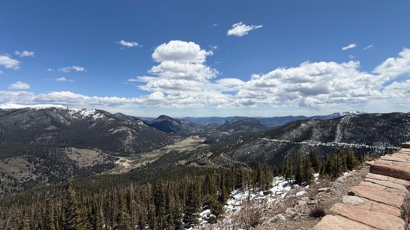
The eastern side of Rocky Mountain National Park gives travelers a clear starting point before the road begins its serious climb.
Trail Ridge Road is officially known for being North America’s highest continuous paved highway. That title is not just a nice line for a brochure.
The road reaches 12,183 feet and crosses high alpine country that many people would otherwise only see after a demanding hike.
For visitors based in Estes Park, the appeal is refreshingly plain. Drive into the park, follow the road, use marked pullouts, and let the landscape do the heavy lifting.
Colorado has plenty of mountain roads, but this one turns elevation into the main event, with forest, tundra, and open sky arriving in steady chapters.
Check current National Park Service conditions before going, since weather controls access. When the road is open, Trail Ridge Road makes a big mountain day feel surprisingly organized.
The Numbers Are Big, But The Idea Is Simple
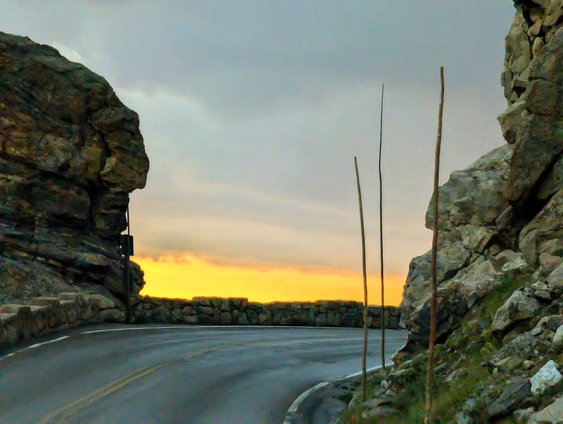
The beauty of Trail Ridge Road is that nobody needs a lecture to understand the plan. It runs about 48 miles between the Estes Park side and the Grand Lake side of Rocky Mountain National Park, crossing the Continental Divide along the way.
The route is the attraction.
Its highest point reaches 12,183 feet, which sounds like something that should require crampons and a suspiciously expensive jacket. Instead, travelers reach it on pavement.
That does not make the mountains casual, but it does make the experience more accessible for people who prefer a steering wheel to a summit attempt.
Trail Ridge Road also includes about 11 miles above tree line, where the alpine tundra takes over from the forests below. The shift is easy to see, and that visible change gives the drive a built in lesson about elevation, climate, and patience.
Plants grow slowly up there. So should travel plans.
Families can keep the day flexible, couples can pause at overlooks, and solo travelers can move at their own pace. The road offers structure without feeling scripted, which is rare enough to appreciate.
Above The Trees, Colorado Changes Its Vocabulary
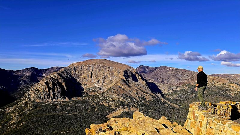
At lower elevations, Rocky Mountain National Park has forests, meadows, and the familiar visual grammar of the Rockies. Higher on Trail Ridge Road, the scene changes.
Trees thin, the horizon opens, and the alpine tundra becomes the dominant landscape rather than a distant idea on an interpretive sign.
The National Park Service asks visitors to protect tundra by staying on paved areas, marked trails, and designated overlooks. That guidance matters because tundra plants survive in a short growing season and can be damaged by careless footsteps.
The place looks broad and tough, but much of it is working with a very small margin.
Colorado’s high country can make ordinary scale feel slightly ridiculous. A parked car, a camera, even a well packed sandwich suddenly seem like small human inventions beside ridgelines and broad valleys.
Trail Ridge Road uses that contrast well because the road is engineered into the landscape without requiring travelers to leave the route to understand its scale.
Pullouts and viewpoints help keep stops orderly. They also give drivers a chance to look around without pretending that admiring scenery while steering is a responsible multitasking strategy.
Up here, paying attention is part of the visit.
A Seasonal Road With A Long Memory
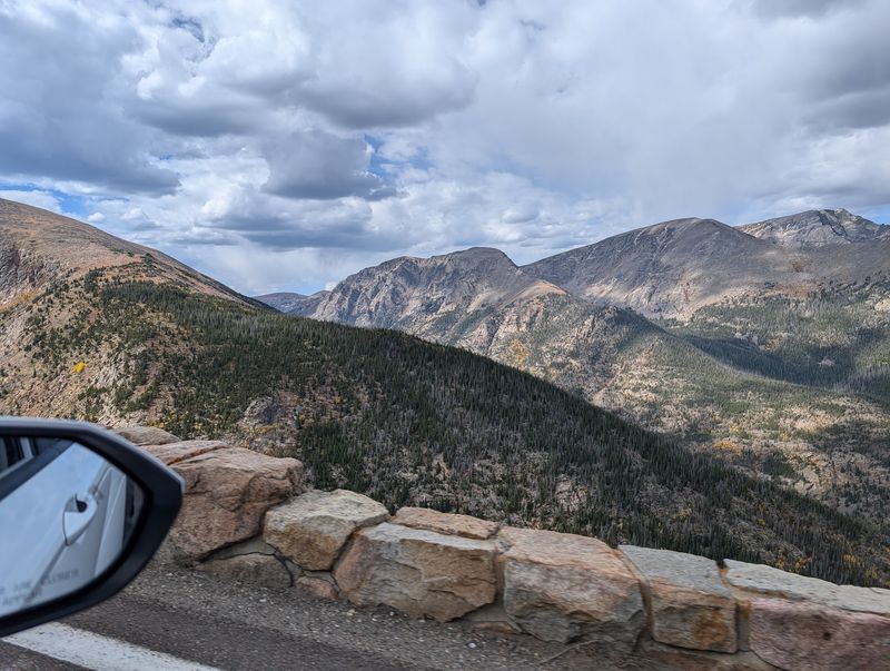
A road this high has a schedule written partly by snow, which is humbling for anyone who likes calendar certainty. Trail Ridge Road is generally open seasonally, often from late May into October, but exact dates depend on conditions.
The National Park Service posts current status, and that page deserves a look before keys hit the ignition.
The road was completed in 1938, giving it a long public life inside Rocky Mountain National Park. Its design created a motor route across terrain that had previously been far harder for ordinary travelers to reach.
That history is part of its continued pull, not because old pavement is sentimental, but because the access still feels impressive.
Good To Know: Trail Ridge Road may close temporarily even during its open season when weather makes high elevation travel unsafe or impractical.
That seasonal rhythm keeps the road from feeling like just another highway. In Colorado, mountain access often comes with conditions, and this route makes that truth visible.
The same elevation that gives travelers those huge views also brings wind, snow, cold, and rapid change. Planning ahead is not fussiness here.
It is basic road manners in a place where the mountains keep office hours only loosely.
Different Travelers Can Share The Same Climb
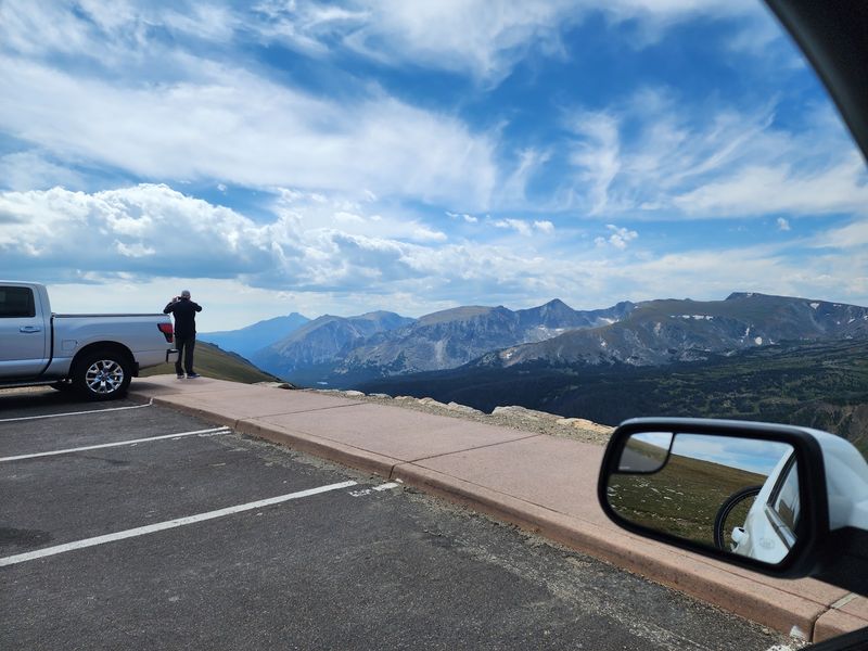
One useful thing about Trail Ridge Road is that it does not demand the same kind of day from every traveler. A family can treat it as a paced drive with restroom breaks and short stops.
A couple can make it a quiet afternoon of viewpoints and unhurried conversation. A solo visitor can move without negotiating anyone else’s snack timeline, a small freedom that should not be underestimated.
The road works for different visitors because the main experience is shared from the vehicle and the overlooks. That matters for people who cannot or do not want to hike long distances.
It also helps weekend travelers who have limited time in northern Colorado and want a route with a clear beginning, middle, and high point.
Trail Ridge Road still asks for common sense. High elevation can affect people differently, and conditions can shift fast.
Bring layers, water, sun protection, and patience. None of that is glamorous, but neither is shivering in a cotton shirt while pretending the view alone provides insulation.
Because the drive crosses protected park land, visitors should also follow posted rules for wildlife and tundra. The best version of the outing is simple: slow down, stop only where allowed, and give the landscape the respect it quietly requires.
Turning A Saturday Errand Day Toward The Peaks
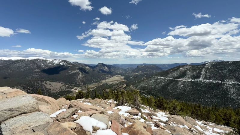
A simple Saturday detour can be enough, provided the timing and conditions cooperate. Start by checking the National Park Service road status and current entry requirements for Rocky Mountain National Park.
Then aim for the Estes Park side near 1000 US Hwy 36, Estes Park, CO 80517, where many visitors begin the climb toward Trail Ridge Road.
During busy seasons, the park may require timed entry reservations along with the standard entrance pass. Those rules can change by date and hour, so it is smarter to confirm before leaving than to practice disappointment at the gate.
Nobody needs that particular character building exercise on a day off.
Once inside, keep the outing modest. Choose several official overlooks rather than trying to stop everywhere.
Trail Ridge Road has enough scale that rushing can make the day feel oddly smaller, like skimming a good book and claiming victory. A slower plan gives the elevation changes and tundra views room to register.
Fuel, food, and extra clothing should be handled before committing to the higher stretch, especially when traveling with children or anyone sensitive to altitude. The road may be paved, but it is still a high mountain route.
Treat it like a real trip, just one that fits inside a day.
Why The Top Of The Road Stays With You
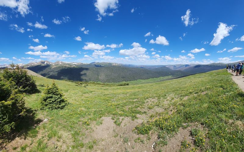
Long after the practical details fade, Trail Ridge Road tends to remain clear in the mind because its main fact is so easy to picture. A paved highway climbs above 12,000 feet in Colorado, crosses the Continental Divide, and lets ordinary travelers stand near landscapes shaped by altitude, weather, and time.
That combination is rare. Many scenic roads offer views, but Trail Ridge Road adds a plain sense of progression.
Forest gives way to tundra. Pullouts become windows into wider country.
The road does not need theatrical decoration because the verified facts already carry the drama, which is convenient since mountains are famously difficult to improve with marketing language.
For Estes Park visitors, the drive can anchor a day without swallowing the whole trip. For road trippers crossing Colorado, it provides a direct encounter with Rocky Mountain National Park’s high country.
For anyone tired of over planned leisure, it offers a reminder that a strong route and good information can be enough.
The practical advice is simple: confirm access, prepare for elevation, respect closures, and use marked stops. The emotional part is simpler still.
Trail Ridge Road lets you drive to a place where the map suddenly feels vertical, and that is the text I would send: take the high road, but bring a jacket.