
One Of The World’s Largest Flat-Topped Mountains Is A Colorado Road Trip Hiding In Plain Sight
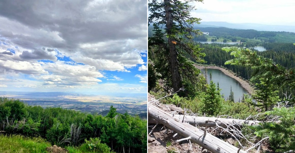
Sometimes the road deserves to be the destination. This one starts in dry valley country and keeps climbing until the landscape feels completely rewritten, trading open scrub for forests, lakes, and long mountain views.
Travelers crossing this part of Colorado get a rare kind of payoff: the scenery changes mile by mile without requiring a complicated itinerary. The higher the road climbs, the more the drive feels less like transportation and more like the whole point of the day.
Pull over when something catches your eye, linger beside the water, and forget about racing toward an arrival time. A route this dramatic does not need much choreography.
Few drives make slowing down feel as natural as this stretch through Colorado, where elevation does most of the storytelling. Bring snacks, leave room for unplanned stops, and give the scenery enough time to surprise you.
You will be very glad you did.
A Byway That Turns A Simple Drive Into The Destination
Some road trips ask for reservations, gear lists, and the emotional stamina of a tax audit. This spot is kinder than that.
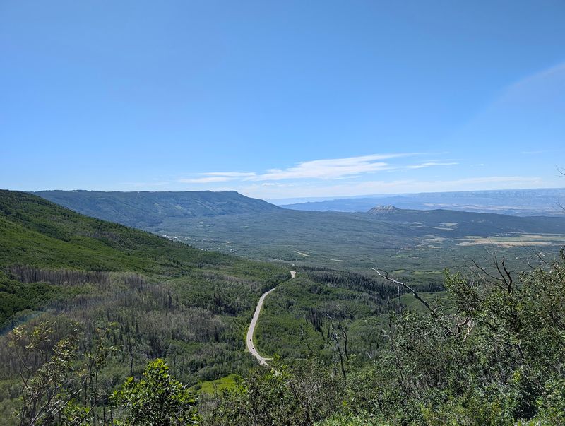
It gives travelers a clear route across Grand Mesa on Colorado Highway 65, with the road itself carrying much of the experience.
The byway runs through western Colorado between the Mesa area near Interstate 70 and the Cedaredge area, crossing a high plateau that feels very different from the lower country around it. Instead of chasing one famous overlook, drivers get a long sequence of changing forest, lake, and mountain scenes.
That makes it useful for families, couples, solo travelers, and weekend planners who want a satisfying outing without needing to solve a wilderness puzzle. You can build a full day around the drive, or treat part of it as a scenic detour when crossing this side of Colorado.
Either way, Grand Mesa Scenic and Historic Byway proves that sometimes the best plan is simply choosing the better road.
Grand Mesa Is Not Your Usual Pointy Mountain
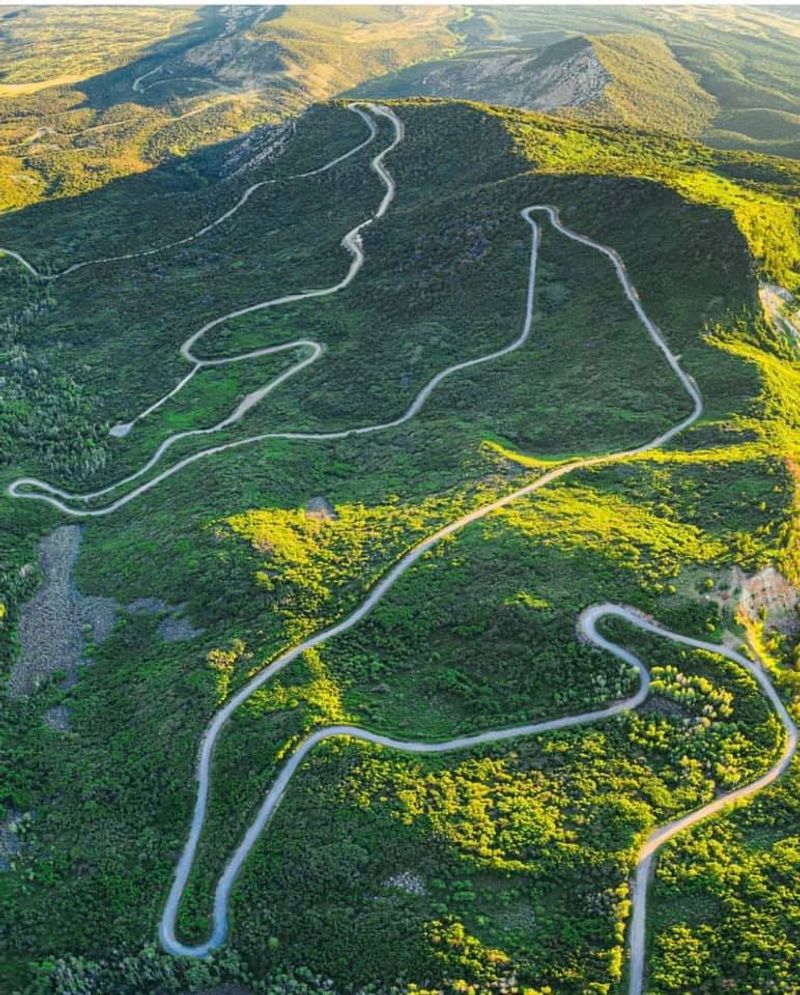
Most people picture a mountain as a sharp peak that points at the sky like it is trying to win an argument. Grand Mesa takes a calmer approach.
It spreads out as a huge high plateau, which is why the title of largest flat topped mountain in the world follows it around like a very large name tag.
Grand Mesa covers hundreds of square miles, and the byway gives ordinary drivers a practical way to understand that scale. You are not just pulling over to look at a formation from below.
You are traveling across the top of it, through a landscape with forests, meadows, lakes, and recreation areas.
The geology is part of the fun, even for people who last thought about rocks during middle school. Ancient lava flows helped protect the mesa top while softer surrounding layers wore away over time.
The result is a landscape that feels almost flipped inside out. Grand Mesa Scenic and Historic Byway lets visitors see that story through the windshield, which is geology at its most merciful.
More Than 300 Lakes Change The Mood Of The Drive
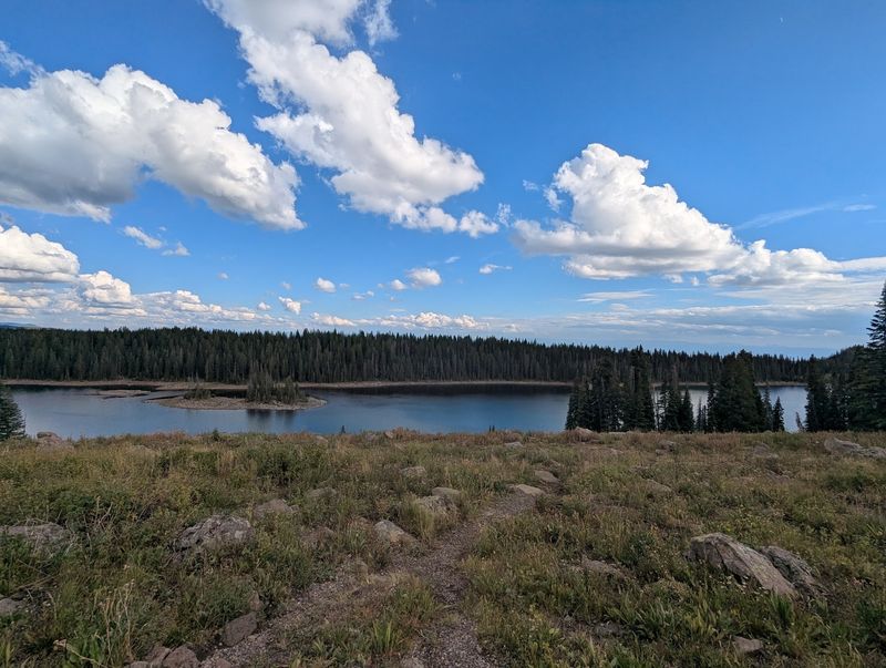
A mountain road with one lake is pleasant. A mountain road across a plateau with more than 300 lakes starts to feel mildly unfair to other drives.
Grand Mesa Scenic and Historic Byway passes through country where water is a defining feature, not a small bonus tucked at the end.
Many of these lakes sit within the Grand Mesa National Forest, and several are linked to fishing, paddling, camping, picnicking, or short walks, depending on the site and season. Travelers should check current conditions and rules before planning specific activities, because mountain weather and access can change faster than a family vote on lunch.
The lakes also help explain why the mesa feels so different from the valleys below. At high elevation, water, forest, and open sky combine into a setting that can surprise first time visitors who only expected another mountain pass.
The byway does not require you to visit every shoreline. Even a few stops can give the day a rhythm: drive, pause, look around, repeat as needed.
A High Elevation Road With A Cooler Personality
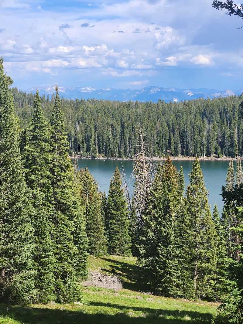
The climb onto Grand Mesa brings a real shift in setting. Western Colorado can be dry and open in the valleys, but the mesa rises to elevations commonly around 10,000 feet, where forests and lakes take over the conversation.
It is the kind of change that makes passengers look up from their phones without being asked twice.
Grand Mesa Scenic and Historic Byway moves through aspen, spruce, fir, and other mountain vegetation, giving the route a cooler, greener character than many travelers expect from this part of the state. In fall, aspens are a major draw, while warmer months bring easier access to lakes, trails, and campgrounds.
High elevation deserves respect, not panic. Bring layers, water, sun protection, and a little patience if you are not used to thinner air.
Snow can linger or arrive early, and winter travel may require checking road and weather updates before setting out. The road is accessible, but the mesa is still mountain country.
Grand Mesa Scenic and Historic Byway rewards travelers who enjoy the view and also remember that Colorado weather does not take suggestions.
The Visitor Center Helps The Mesa Make Sense
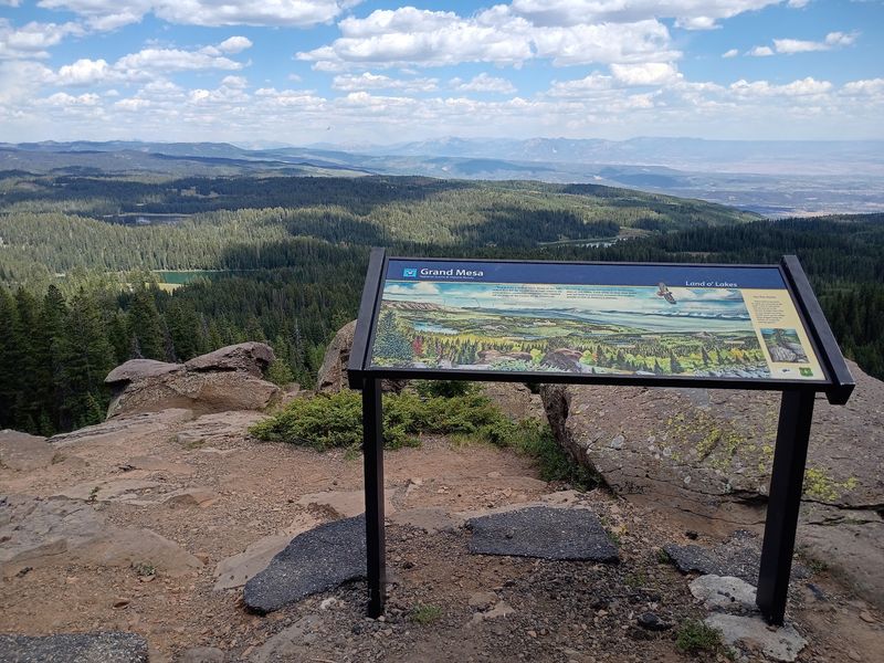
Large landscapes can be oddly hard to understand. You can stand in the middle of one and still wonder where you are, which road you came from, and whether the map is quietly judging you.
The Grand Mesa Visitor Center helps bring order to the size of the place.
Located near Baron Lake in the Grand Mesa National Forest, the visitor center area is a useful orientation point for people exploring Grand Mesa Scenic and Historic Byway. It is associated with maps, area information, interpretive material, and access to nearby outdoor settings.
Hours and seasonal availability can vary, so checking current Forest Service information before relying on indoor services is smart.
Even when travelers are mainly there for the drive, a planning stop can sharpen the outing. Families can choose a manageable lake visit.
Solo travelers can check trail ideas. Couples can compare scenic pullouts without turning the day into a committee meeting.
On a mesa this large, good information is not fussy. It is the difference between wandering and actually choosing.
Outdoor Options Stay Flexible Without Feeling Random
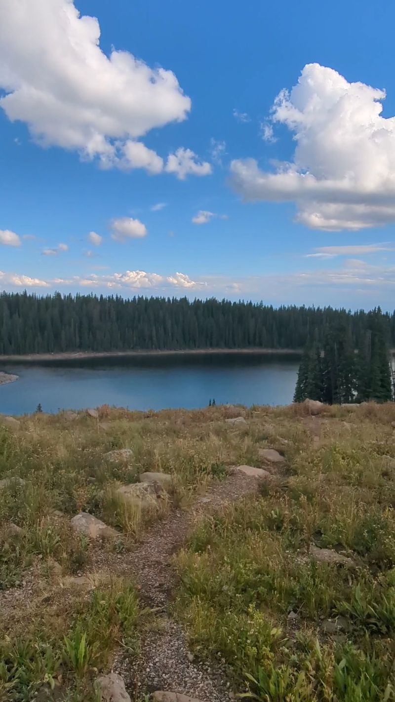
The useful thing about Grand Mesa is that it does not force every visitor into the same version of fun. Grand Mesa Scenic and Historic Byway connects travelers with a wide outdoor menu, including hiking, fishing, camping, wildlife watching, scenic pullouts, and lake based recreation where allowed.
That variety matters when one person wants a trail and another wants a sandwich with a view.
Crag Crest National Recreation Trail is one of the better known hiking routes on the mesa, offering a higher effort option for prepared hikers. Other shorter paths and lake areas can make more sense for travelers with children, limited time, or legs that have filed a formal complaint.
Because the mesa is managed largely as national forest land, conditions, fees, and rules can differ by site. Some campgrounds and recreation areas operate seasonally, and lake access can depend on weather, road conditions, and current management notices.
The practical move is to pick one or two activities, then let the drive supply the rest. Grand Mesa Scenic and Historic Byway is generous, but nobody needs to turn a pleasant day into an outdoor buffet challenge.
Land Of Overlooks, Side Roads, And Sensible Pauses
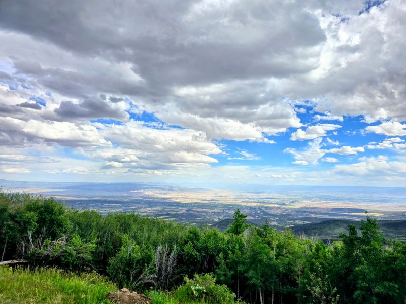
A good scenic byway understands the value of stopping. Grand Mesa Scenic and Historic Byway has pullouts, lake access points, and nearby side routes that let travelers break the drive into pieces.
That matters, because staring at scenery nonstop from a moving car can eventually make even grand views feel like wallpaper.
One of the best known side trips is toward the Lands End area, where views reach out from the edge of the mesa toward the lower country. Road conditions on side routes can vary, especially outside dry summer periods, so drivers should check current information before treating every spur as a casual sedan adventure.
Pauses also make the route work for different travel styles. A family might stop near a lake for a snack and a leg stretch.
A couple might choose an overlook and linger over the map. A solo visitor can take a quiet moment without needing a grand itinerary.
The byway offers structure without boxing anyone in. In a state full of roads competing for attention, this one earns interest by letting the landscape unfold at human speed.
A Four Season Route That Still Needs Weather Respect
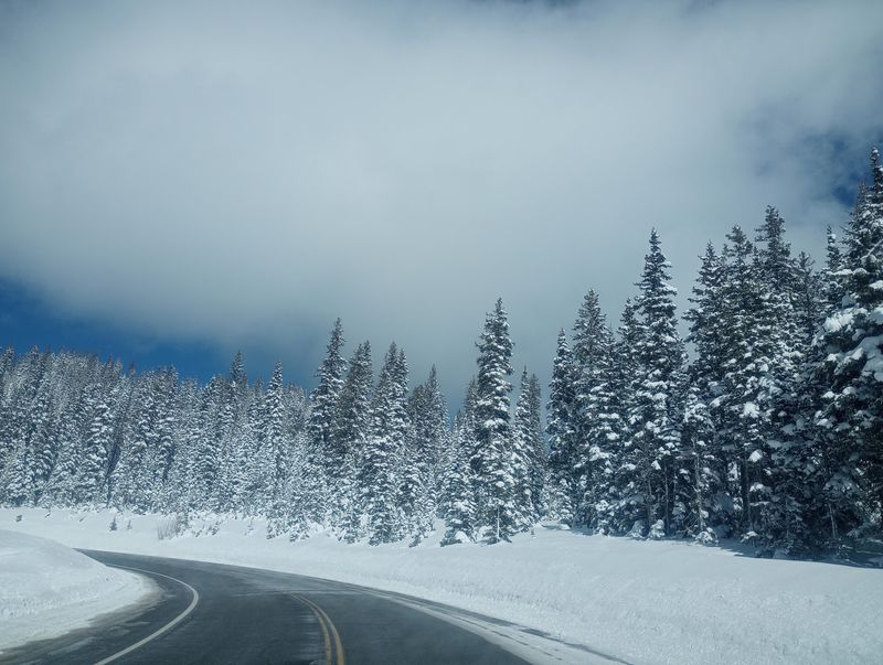
Grand Mesa does not disappear after summer, which is part of its appeal. The plateau is known for fall color, winter snow recreation, spring transitions, and summer lake visits.
Grand Mesa Scenic and Historic Byway can be part of more than one kind of Colorado trip, though the details change with the calendar.
Warm months generally make it easier to reach campgrounds, lakes, trailheads, and viewpoints. Autumn draws attention for aspen color, especially when the timing cooperates.
Winter brings snow to the high country, and the broader Grand Mesa area is associated with snowmobiling, cross country skiing, and other cold season activities in designated places.
The key word is preparation. A drive that feels simple in July can be a different matter during snow, ice, fog, or shoulder season closures.
Check Colorado road conditions, Forest Service updates, and current recreation information before heading up. Pack layers even when the valley feels comfortable.
Grand Mesa Scenic and Historic Byway is accessible enough for casual travelers, but it is not a theme park version of the mountains. The mesa sets the terms, and sensible visitors read the room.
Why This Colorado Road Trip Hides In Plain Sight
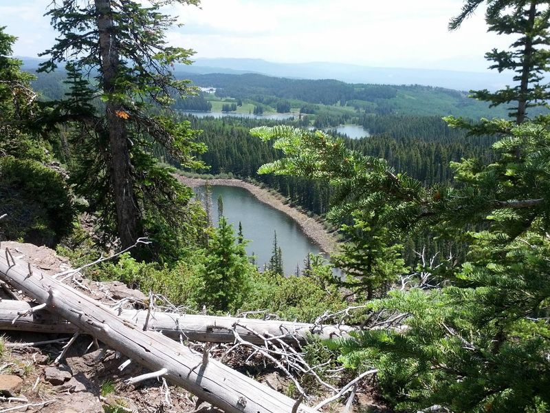
Part of the surprise is how easy Grand Mesa can be to overlook on a Colorado travel map. Big name parks and famous passes tend to make more noise.
Meanwhile, Grand Mesa Scenic and Historic Byway quietly offers a drive across one of the planet’s largest flat topped landforms, with lakes and forests spread across the summit like the mesa was not interested in being modest.
That low drama is useful. Road trippers can connect the byway with western Colorado travel without building an expedition around it.
Weekend planners can aim for Cedaredge, Mesa, or nearby communities as practical gateways. Families and couples can keep the day flexible, while solo visitors can let curiosity set the pace.
The strongest reason to go is not bragging rights, though the largest flat topped mountain fact is a sturdy conversation starter. The real value is seeing how quickly Colorado can change character as the road climbs.
Dry valleys give way to high forest, lakes appear in surprising numbers, and the map starts to feel three dimensional. Tell someone to take the road over Grand Mesa, then let the plateau do the explaining.