
10 Pennsylvania Hiking Trails Locals Skip In September Because The Rattlesnakes Are Too Active
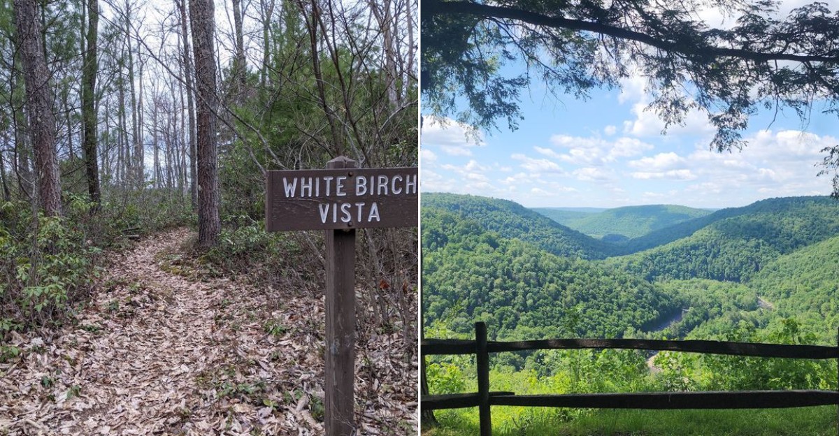
September can look perfect for hiking right up until the trail starts rustling back.
In Pennsylvania, that month can also mean more rattlesnake awareness on certain rocky or wooded routes, especially when warm days linger.
The point is not panic. It is knowing when a favorite trail may be better saved for cooler weather, when you can enjoy the walk without watching every step quite so closely.
Sometimes the smartest hiking plan is simply choosing another path. I learned that kind of caution on a warm fall hike when a dry rattle from somewhere near the trail stopped me cold.
I never saw the snake, which somehow made the sound even more memorable. For the rest of the walk, every branch looked suspicious and every patch of leaves got my full attention.
I finished the day just fine, but I also decided there was no prize for proving how relaxed I could be. Since then, September hiking has come with a little more respect for who else might be using the trail.
1. Golden Eagle Trail, Cammal, PA
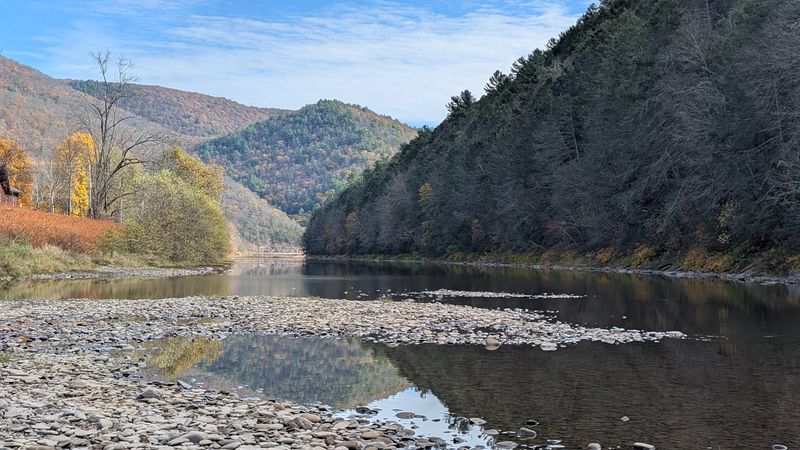
Nine miles of climbing, creek hopping and ridge-top views make this loop one of Lycoming County’s toughest day hikes.
The Golden Eagle Trail runs as a loop out of the Pine Creek Valley near Cammal, and it earns its difficult rating honestly.
Expect rocky footing, multiple stream crossings, and steep inclines that lead to several open vistas from the ridges.
Water levels drop by late summer, which makes the crossings simple but leaves stretches of the path overgrown with stinging nettle.
A few sections lose definition in the greenery, so watching for blazes matters more here than on smoother trails.
Beginners are not shut out entirely. Shorter options exist along the route, and the overall trail is well marked and well maintained by state forest crews.
Wildlife shows up, snakes included. DCNR notes rattlesnakes are plentiful in Tiadaghton State Forest, so give them room.
I always pack gaiters for nettle country, and this is precisely the trail that taught me why.
The trail begins at the Clark Farm/Utceter Station recreational parking area along PA Route 414, roughly three miles north of Cammal, PA 17723.
2. Black Forest Trail, Slate Run, PA
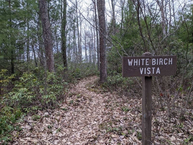
Elevation change is the whole personality of this Tiadaghton State Forest loop above Slate Run.
Backpackers usually spread the Black Forest Trail across three days, climbing in and out of steep drainages the entire way.
Mountain streams run over mossy rocks and fallen logs, waterfalls appear where side creeks drop, and thick ferns crowd the tread between rock formations.
Water sources are reliable, which is a real advantage for anyone carrying a stove and a filter.
The blazing holds up well, though road access to some trailheads can get rough and the footpath itself stays wet in places.
Vistas open onto rolling green mountains that stretch toward the Pine Creek Gorge country, and crowds are thin even on weekends.
Shorter loops split off the main circuit, so a half-day sampler is completely doable without committing to the full route.
September brings warm rock ledges along those overlooks, and sunning snakes tend to claim the best ones first. Step onto viewpoints rather than over them.
Trailheads sit in and around Slate Run, PA 17769, deep in northern Lycoming County.
3. West Rim Trail Northern Terminus, Wellsboro, PA
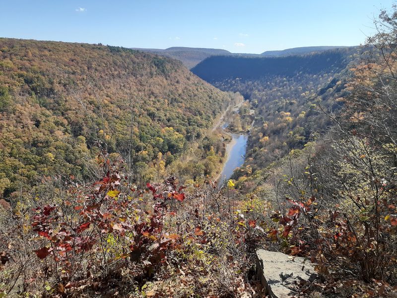
Parking, a restroom and a trail map greet you at the top end of Pennsylvania’s most famous rim walk.
The northern terminus of the West Rim Trail sits on Colton Road outside Wellsboro, and it functions as the launching point for a point-to-point trek along the western edge of the Pine Creek Gorge.
Early miles climb through forest toward Barbour Rock, and the first major gorge views arrive around mile 2.7.
Many people hike roughly three miles to a high point and turn back, which makes a satisfying half-day outing.
Cell service is essentially nonexistent up here. Download maps before leaving town, because the trail is easy to follow but the terrain is not forgiving of guesswork.
Birdwatching is excellent along the rim, and dogs are welcome outdoors. Maintenance standards are high, with a clearly defined corridor from end to end.
The trail is not limited to a seven-to-seven gate schedule. The views hold up in every season, though September’s warm ledges call for a careful eye before you sit down.
Find it at Colton Rd, Wellsboro, PA 16901.
4. Loyalsock Trailhead, Williamsport, PA
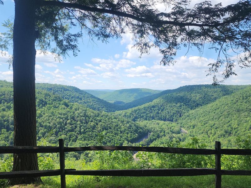
Fifty-nine miles of footpath begin at this modest pull-off north of Montoursville, Pennsylvania.
The western terminus of the Loyalsock Trail wastes no time getting vertical. Climbing starts almost immediately, and the reward comes as views over the Loyalsock Creek valley from ledges along the way.
Sandstone outcrops and broken rock line parts of the route, giving the trail a rugged, uneven character that regulars in the region genuinely love on this mountain terrain.
The trail is maintained by the Alpine Club of Williamsport in cooperation with DCNR, with volunteers handling blazes and trail work across its full length.
Shuttle services operate for the Loyalsock, the Old Loggers Path, and the Mid State Trail, which solves the logistics problem of a one-way thru-hike.
Creek scenery sits directly across the road from trailhead parking, so even a short stop delivers something.
Confession: steep first miles are my least favorite way to start a hike, and this one is unapologetic about it. September heat plus talus fields means slowing down and scanning ahead.
The western trailhead sits along PA Route 87, roughly nine miles north of Montoursville in Pennsylvania.
5. Old Loggers Path, Canton, PA
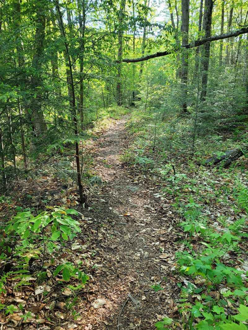
Twenty-seven miles of old railroad grade circle the plateau country north of Williamsport.
Old Loggers Path follows the beds of long-abandoned logging railroads, which is why the grades feel gentler than the mileage suggests.
Elevation still shows up, and downed trees are a routine part of the experience.
Campsites are plentiful and two lean-tos sit along the route, making it a favorite for trips lasting two to four days. Blazing is consistent and the trail stays in solid condition thanks to steady volunteer work.
Rock Run gets most of the attention, and deservedly so. The water runs remarkably clear, and it feels especially good in late August and early September when the forest is still holding summer heat.
Wildlife sightings are frequent along the loop, and several ridge-top openings deliver wide views over the Loyalsock State Forest.
Upper Pleasant Stream Road bridge work currently requires a short detour and stream crossing along the trail.
One practical note: sunny rock piles near the vistas are prime basking spots this time of year. Reach the main trailhead at Masten in northeastern Lycoming County, Pennsylvania.
6. Chuck Keiper Trail, Noyes Township, PA
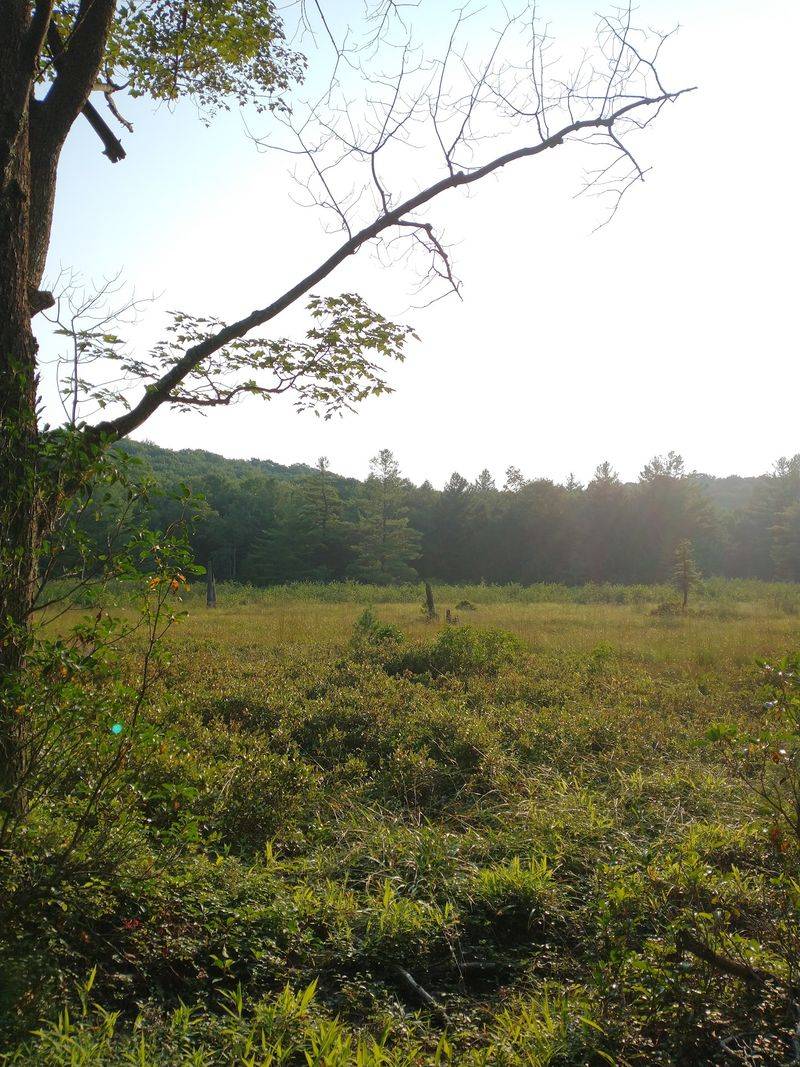
Deep inside Sproul State Forest, one of the state’s wildest designated trail routes runs its course.
Chuck Keiper Trail spans Sproul State Forest in Clinton and Centre counties, crossing remote plateau country with very few roads and even fewer people.
Solitude here is not a marketing angle, it is simply the default condition.
Sproul is the largest state forest in Pennsylvania, and the trail threads through a landscape of hardwood ridges, wild plateaus and open rocky ground.
Remote hiking comes with real responsibilities. Carry a paper map, tell someone your route, and plan water carefully, because resupply points do not exist out here.
Rocky openings and old clearings warm up fast in September sun, and timber rattlesnakes in this part of the state favor exactly that kind of habitat. Watching where hands and feet land is the entire safety strategy.
I have a soft spot for trails that require actual navigation skills instead of a phone screen, and this is one of them.
The main trailheads are reached from PA Route 144 south of Renovo, Pennsylvania, within the remote Sproul State Forest.
7. Mid State Trail, Clearville, PA
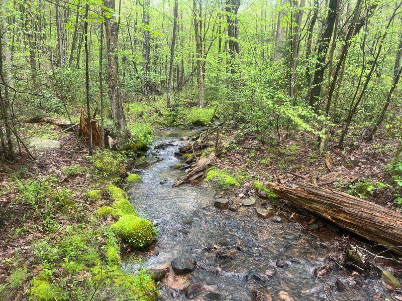
Pennsylvania’s longest footpath crosses the state, and this southern section runs near Clearville.
Down in Bedford County, the Mid State Trail leaves behind the crowds entirely.
Hiking here is genuinely peaceful, following ridges and hollows with little more than orange blazes for company.
The trail is famous among long-distance walkers for being measured in metric units, a quirk that surprises first-timers reading the mileage signs.
Parking varies by access point in the southern section, so check the current Mid State Trail map before leaving pavement.
Checking the forecast before committing is smart.
Southern sections like this one link toward the Maryland border and connect into a much larger corridor stretching north through central Pennsylvania.
Quiet ridge walking means fewer distractions, which also means noticing sun-warmed rock ledges before stepping onto them. Rattlesnakes may use open rocky areas for basking nearby.
Hiker traffic can be sparse on this remote southern section, regardless of the day of week.
Access near Clearville connects into the Bedford County portion of the Mid State Trail, with information maintained by the Mid State Trail Association.
8. Susquehannock Trail System, West Branch Township, PA
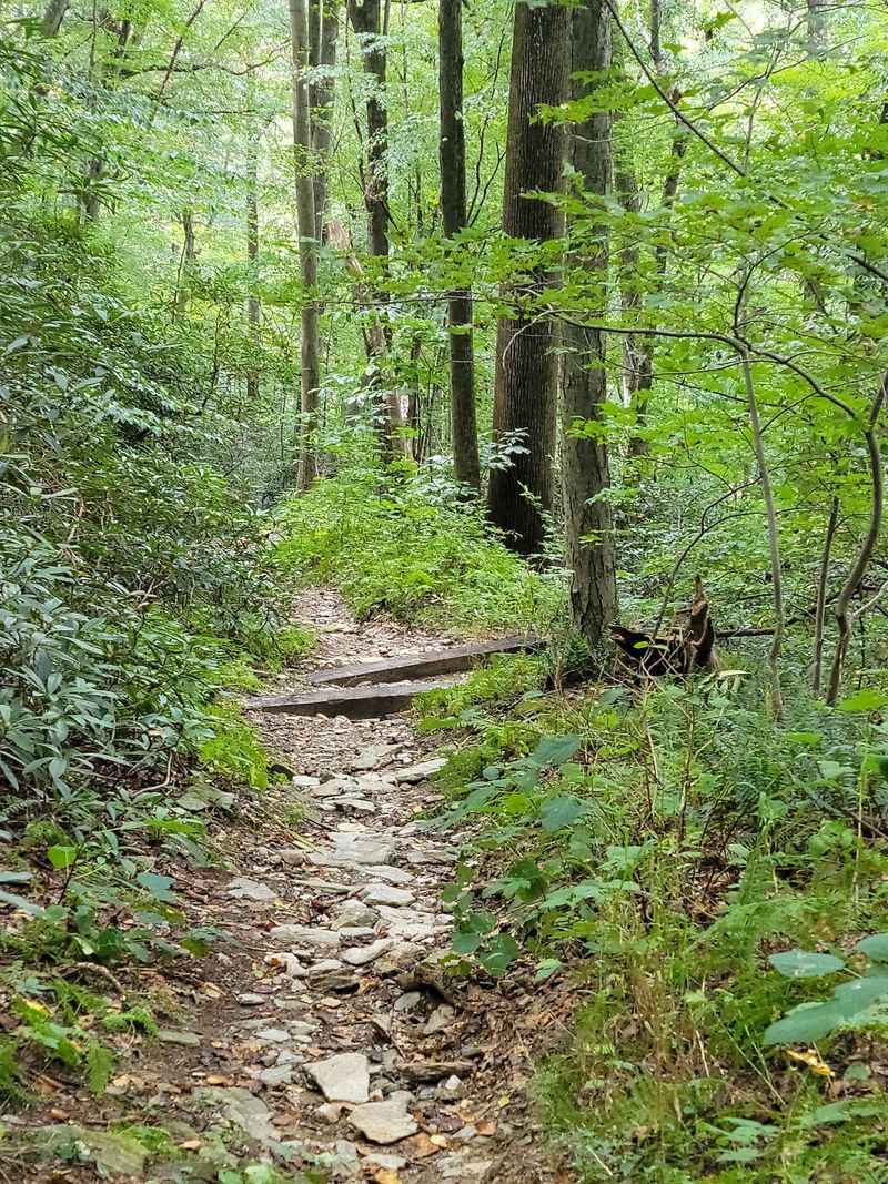
Loop hiking on a grand scale defines this network across the Susquehannock State Forest.
The Susquehannock Trail System covers Potter County terrain in West Branch Township, an area widely known as the darkest and least populated corner of the state.
Night skies out here are legitimately spectacular.
Much of the route follows old logging grades and fire trails stitched together into a continuous loop, so backpackers can start and finish in the same place without arranging a shuttle.
Streams, hemlock stands and hardwood ridges make up most of the scenery, and the trail is marked with orange blazes throughout.
Multi-day trips are the norm, though numerous road crossings let hikers break the loop into shorter segments.
Warm September days push snakes onto exposed rock and old skid roads where sunlight reaches the ground. Trekking poles and unhurried footwork solve most concerns.
Anyone planning a trip should bring a full water filter setup, since remote sections offer no facilities of any kind.
The trail system lies within West Branch Township, PA 16922, with access from routes near Cross Fork and Ole Bull State Park.
9. Balance Rock, James Creek, PA
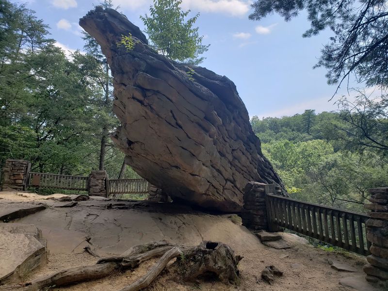
A single perched boulder is the payoff at the end of this short out-and-back near James Creek.
Balanced Rock sits at the end of Balanced Rock Trail in Trough Creek State Park, and it is quick for experienced hikers. Stone steps are steep, but the distance keeps things manageable overall.
Rainbow Falls comes first on the route, a small cascade that makes a natural pause before the final climb.
The rock itself is the draw, a large boulder resting on an outcrop in a way that looks improbable enough to hold everyone’s attention for a while. Views from the ledge stretch across the surrounding Appalachian ridges.
Short hikes with big features are my favorite kind of detour, and this one delivers without eating a full day.
Rocky outcrops like these can provide basking habitat, so scan the rocks before stepping close and give any snake plenty of room. Sturdy shoes help on the loose sections near the top.
The Balanced Rock trailhead is inside Trough Creek State Park near James Creek, PA 16657, with park access from Little Valley Road.
10. Appalachian Trail, Palmerton, PA
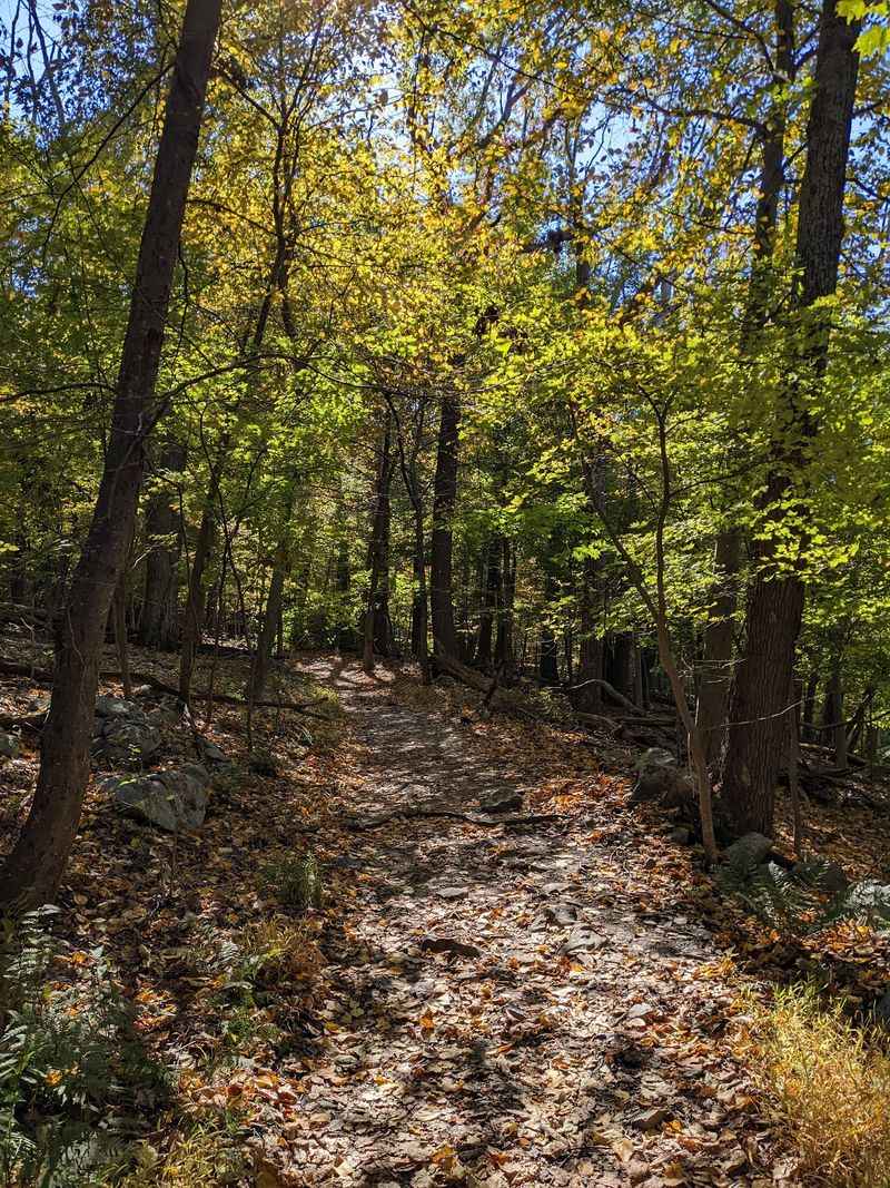
Pennsylvania’s stretch of the Appalachian Trail is famous for rocks, and the Lehigh Gap section near Palmerton makes that reputation obvious.
The white-blazed route climbs onto Kittatinny Ridge above the Lehigh River, where open slopes and exposed stone create broad views across Carbon and Northampton counties.
A relocated section opened here in 2022, keeping hikers on a more sustainable route while preserving the overlooks.
Those same sunny rocks deserve extra attention in September.
The Appalachian Trail Conservancy notes that rattlesnakes can be present along the trail in warm weather, and Pennsylvania’s timber rattlesnakes use rocky ridges and openings for basking.
Give any snake plenty of room, watch where you place hands and feet, and never reach blindly between rocks.
This section is demanding enough without rushing it. Loose stone, steep grades, and exposed footing can slow the pace even before wildlife enters the equation.
Designated parking is available near Lehigh Gap along PA Route 248, and the lot operates during daylight hours.
If September stays warm, scanning the rocks before stepping or sitting is simply smart trail etiquette for hikers moving through this exposed terrain.