
The Massive Michigan Reservoir With A Surprisingly Wild Story Beneath The Water
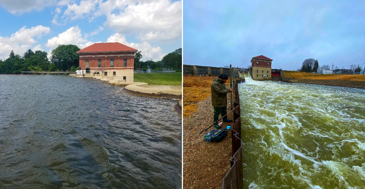
Some lakes look ancient enough to have been shaped by glaciers, but this one owes its broad shoreline to a very human decision. In 1925, a dam on the Huron River transformed the landscape, creating the waterway that now draws boaters, anglers, and curious history lovers.
The story gets even better once you learn that part of a former village lies beneath the reservoir, though not as a perfectly preserved underwater town.
Michigan history feels unusually close here, where recreation, engineering, and the remnants of a vanished community all meet along the same stretch of water.
What I like most is how an ordinary lake day can turn into a lesson in landscape and memory. You can watch boats cross the surface, then think about the roads, homes, and choices that came before it.
The scenery is pleasant, but the hidden history is what makes this stop linger much longer.
Start With The Dam View
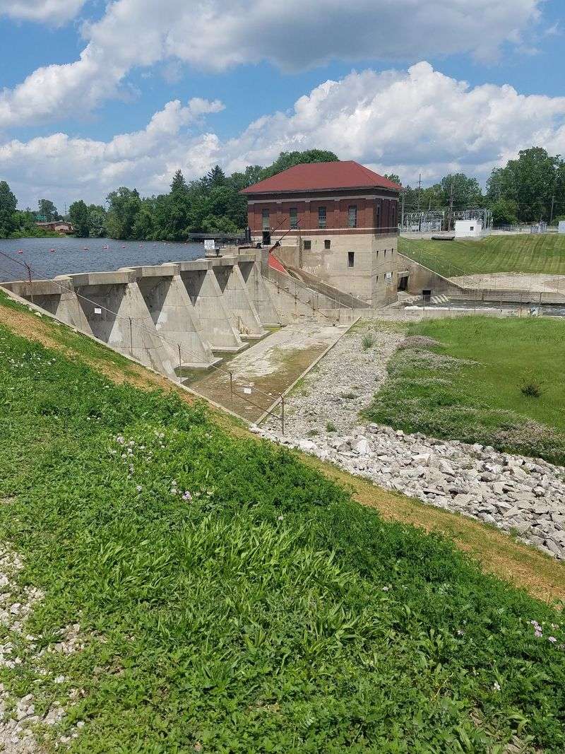
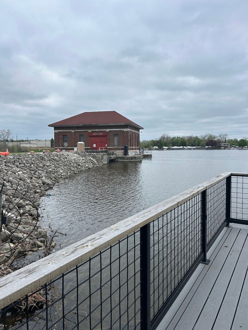
Concrete gives the lake’s story a useful starting point. French Landing Dam and its powerhouse were completed in 1925, and the structure remains the reason Belleville Lake exists.
French Landing Park provides a public place to appreciate the dam without treating a working power facility like an open museum. The dam and powerhouse are not public touring spaces, so respect fences, gates, and posted restrictions.
Check Van Buren Township’s current park information before leaving, especially for access notices and hours. Bring binoculars if you enjoy studying details from a distance.
There is no need to get close to moving water to understand the scale of the project. A safe viewpoint lets the engineering speak for itself while keeping your visit pleasantly uncomplicated.
Haggerty Road Ends At The Lake
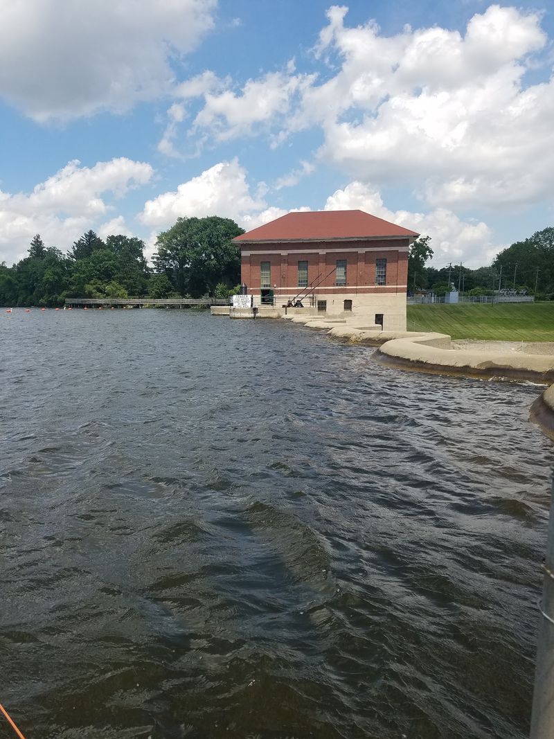
French Landing Dam sits at the eastern end of Belleville Lake in Van Buren Township, Michigan, with French Landing Park at 12090 Haggerty Road serving as the practical visitor stop. Haggerty Road is the final approach, and the park entrance is on the west side just south of the I-94 service drive.
The last stretch opens suddenly toward the Huron River and Belleville Lake after the busier road network around I-94. Once the water, fishing pier, and park grounds appear beside Haggerty, you are at the right spot for views toward the dam and powerhouse.
Pull into French Landing Park and use the public parking there, then continue on foot toward the fishing pier and waterfront. The dam facility itself is restricted, so enjoy the view from the public park rather than trying to approach the powerhouse directly.
Rawsonville Was Fading Before The Flood
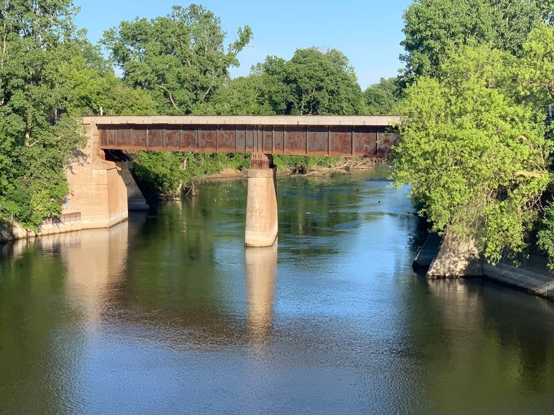
A vanished village sounds like the opening of a mystery, but Rawsonville’s story began changing long before the reservoir filled. The settlement once supported mills, shops, and other businesses tied to life along the Huron River.
Its fortunes weakened during the nineteenth century, especially as railroad connections helped other communities grow. By the time Belleville Lake formed, Rawsonville was no longer the busy village it had once been.
Keep that timeline in mind when reading about the submerged site. The dam did not suddenly swallow a thriving town at its peak.
Understanding the earlier decline makes the history more human: changing transportation, lost business, and departing residents had already reshaped the place before rising water covered parts of its former footprint.
Find The Story On Dry Land
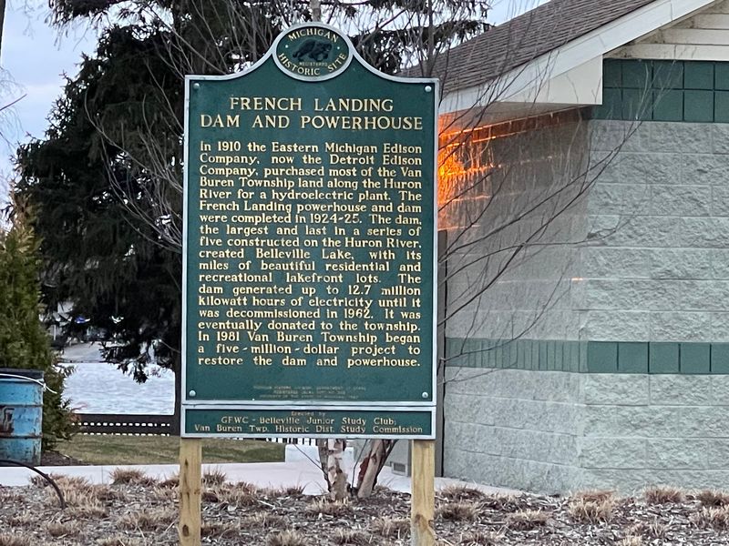
A roadside marker can do more for your understanding than another photograph of open water. The Rawsonville historical marker connects the vanished settlement to a place you can still locate above the lake.
Look up its current mapped position near Rawsonville Road before setting out. Plan a legal parking spot rather than assuming there will be a convenient shoulder beside the sign.
Read the full text, then compare the village’s rise and decline with the reservoir’s 1925 creation. Photograph the marker if you want to revisit the dates later.
Small historical stops reward patience, and this one supplies something the lake cannot: names and events that turn a broad view into the story of an actual community that once lived here.
Skip The Underwater Ghost Town Fantasy
No neat row of underwater storefronts is waiting to wave at passing boats. The former Rawsonville site should not be pictured as a complete village preserved beneath clear water.
Many buildings had disappeared or deteriorated before the reservoir formed. Sediment and decades of change further separate today’s lakebed from the streets and workplaces people once knew.
Enjoy the history without turning it into a treasure hunt. Do not disturb possible remains, enter restricted areas, or assume the water is suitable for exploring submerged sites.
Historical maps and marker text offer a safer, clearer route into the past. The real surprise is not a hidden movie set.
It is how thoroughly an everyday working landscape can change within a few generations of time.
The Powerhouse Still Has A Job
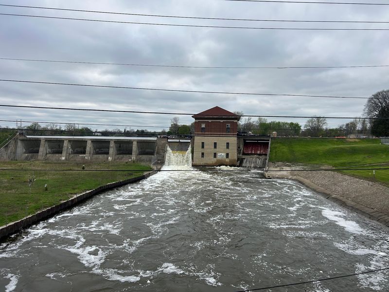
Electricity, not beach towels, was the original goal here. Detroit Edison built French Landing to use the Huron River’s flow for power, and recreation followed the new lake rather than causing its creation.
The plant later stopped operating, passed to Van Buren Township in 1981, and returned to service in 1988 after restoration. Its generating capacity is about 1.7 megawatts.
Those dates make the powerhouse more than an old industrial shell. It represents a second chapter in the same project, with local ownership helping preserve a useful structure.
When you view it, notice how closely the building and water belong together. Avoid expecting an interior tour, and check township information for background rather than approaching staff areas or equipment during your visit.
Construction Had Its Own Plot Twist
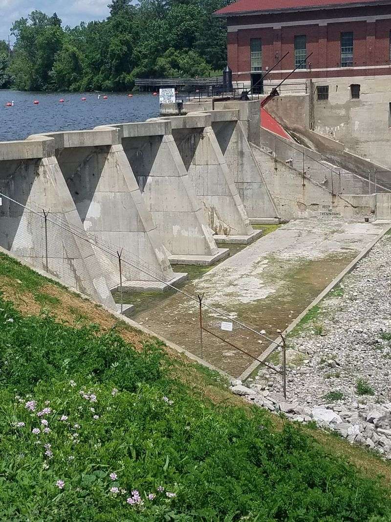
Building a reservoir was not a tidy exercise in drawing lines on a map. Historical accounts describe an earthwork collapse during French Landing’s construction on April 13, 1925.
The setback belongs to the building story, not a claim that the completed dam failed and emptied Belleville Lake. That distinction matters when dramatic versions of local history start making the rounds.
Use the episode as a reason to look more closely at the practical challenge: holding back water requires far more than a sturdy wall. Foundations, surrounding ground, and controlled flow all matter.
If the construction history interests you, seek township materials and contemporary newspaper records. They can help separate documented events from details polished by years of retelling around the local shoreline.
A Fish Story With Serious Consequences
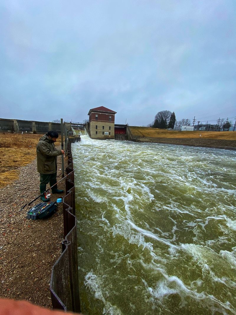
Not every strange chapter here involves a lost village. In 1973, a fish management effort using rotenone became one of Belleville Lake’s more troubling environmental episodes.
The treatment targeted an unwanted fish population, but the resulting fish kill raised serious concerns about the method and its effects. It is a reminder that a reservoir is a living system, not simply a container of water.
For today’s visit, turn that history into a useful habit: check current Michigan fishing rules and fish consumption advice before keeping a catch. Conditions and guidance can change, and old stories are not a substitute for present information.
The lake’s past makes careful stewardship feel less abstract. Small choices on shore and water still have consequences today.
Fish With The River In Mind
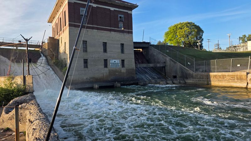
A fishing rod belongs here; a careless approach to dam water does not. Belleville Lake and the Huron River around French Landing attract anglers, but access and safety deserve attention before the first cast.
Choose a legal public fishing area, follow posted boundaries, and keep away from spillways and restricted structures. Moving water near a dam can be dangerous even when the surface looks manageable.
Check Michigan’s current license requirements, seasons, and catch limits for the water you plan to fish. Bring a container for discarded line and take every hook, wrapper, and bait package home.
Good fishing manners are practical rather than fancy: leave room for others, avoid crossing their lines, and never promise yourself a catch before you arrive here.
Boating Reveals The Reservoir’s Shape
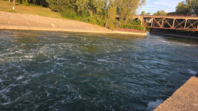
From the water, a reservoir stops looking like one flat blue shape. Belleville Lake follows the former river valley, so boating can reveal shoreline turns and changing views that a single shore stop misses.
Arrange access through an authorized launch and check current fees, hours, and local boating rules beforehand. Do not assume every open patch along the bank is public property.
Wear a life jacket, watch the weather, and keep well clear of the dam and marked exclusion areas. Faster boats and smaller craft need room to share the lake safely.
Let the outing be about noticing the landscape rather than reaching every corner. The best historical perspective still comes from understanding where you are, not from edging toward hazardous water.
Leave Time For An Ordinary Lake Moment
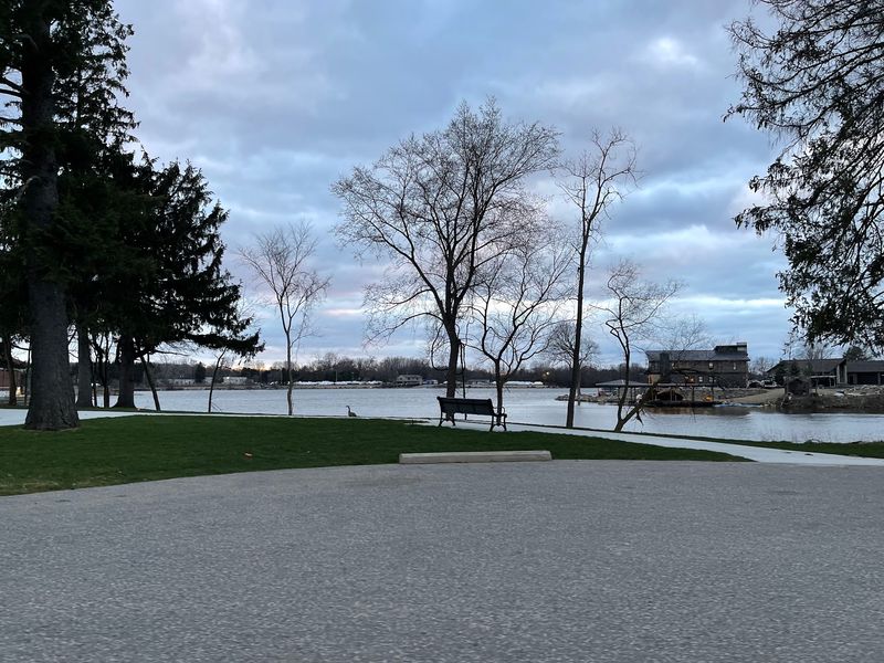
After the dates and engineering facts, give the lake a few minutes without an assignment. A shoreline pause helps connect the industrial project and vanished village to the place people use today.
The reservoir encouraged recreation and lakeside development after 1925, adding another chapter to the area rather than freezing its story underwater. Homes, boats, and public spaces are part of that continuing change.
Bring a light layer, choose an accessible public spot, and allow extra time instead of rushing between viewpoints. Take your rubbish with you and respect nearby private property.
There is something quietly striking about a landscape that serves so many purposes at once. Belleville Lake can be a power source, a history lesson, and simply somewhere to sit.