
The Remote Ozark Town So Underrated It Feels Like Most Arkansas Locals Have Never Heard Of It
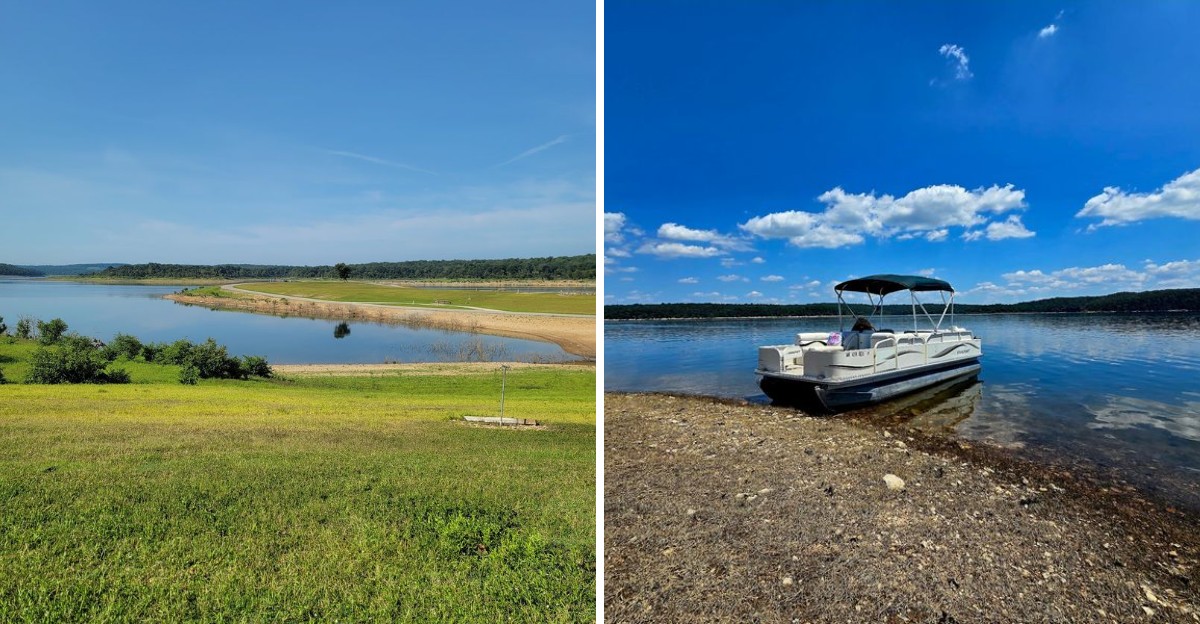
Most people driving north toward Branson blow right past a tiny Ozark town with fewer than 300 residents. That town sits on a ridge above one of the biggest lakes in the region, surrounded by hardwood forest and roads that curve for the pure fun of it.
It has a post office, a school with a mascot everybody knows, a shady campground near the shoreline, and a backstory involving an entire community that packed up and moved uphill when the water rose.
I was honestly surprised that a place with lake access, long views, and easy highway reach stays this far under the radar.
Fishing boats outnumber traffic lights by an enormous margin, which tells you plenty about the pace of life. Ahead are eight facts explaining why this town deserves a slow detour instead of a passing glance.
Ozark Views That Feel Miles Away
Some places on the map barely register until you slow down and look closer. A cluster of ridges in northern Boone County hides a small town that most road trippers pass without a second glance.
Elevation does much of the work here. Roads rise and fall between wooded slopes, and the horizon keeps stacking one green ridge behind another.
Traffic thins out quickly once you leave the busier highway corridors near Harrison. Cell signal wobbles, mailboxes spread farther apart, and the loudest sound is often wind moving through oak leaves.
I find it genuinely surprising that scenery this good stays off most travel lists. The population sat at just 274 in the 2020 census, which explains a good deal of the quiet.
Views open in unexpected places, especially where the land dips toward water far below. Pull-offs are informal, usually a wide gravel shoulder and a lucky gap in the trees.
Anyone expecting attractions with ticket booths and gift shops will need to adjust expectations early. The payoff here is space, stillness, and scenery that never begs for attention.
Locals treat the whole setup as completely normal, which somehow makes it feel even more special. That understated corner of the Ozarks answers to the name Lead Hill, Arkansas.
The Lake That Changed Everything
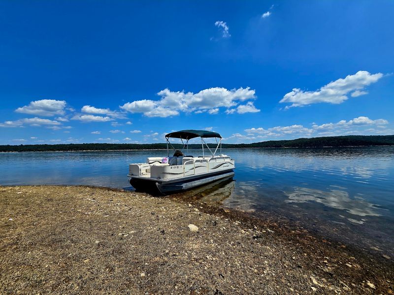
Water reshaped this corner of the Ozarks in the middle of the last century. Bull Shoals Dam was completed on the White River in 1951, and the valleys behind it slowly filled.
The rising lake covered farmland, roads, and the original townsite that sat lower in the valley. Residents moved uphill and rebuilt, which is why the community you see today stands on higher ground.
Bull Shoals Lake now stretches across parts of Arkansas and southern Missouri with more than 820 miles of shoreline. Much of that shoreline stays undeveloped because the Corps of Engineers manages the land around it.
One engineering project turned a quiet farming area into fishing country almost overnight. Bass and crappie draw anglers who plan whole weekends around the water.
Clear water is part of the appeal, since the lake is known for unusual visibility. Swimmers notice it in summer, and divers have long treated the deeper coves as a training ground.
I keep coming back to the idea of a town that literally picked itself up and moved. Few places carry that kind of reinvention so quietly.
The lake gets most of the credit for tourism, though the hills held the story first. One dam rearranged everything, and the town adapted without much fuss.
A Main Street Frozen In Time
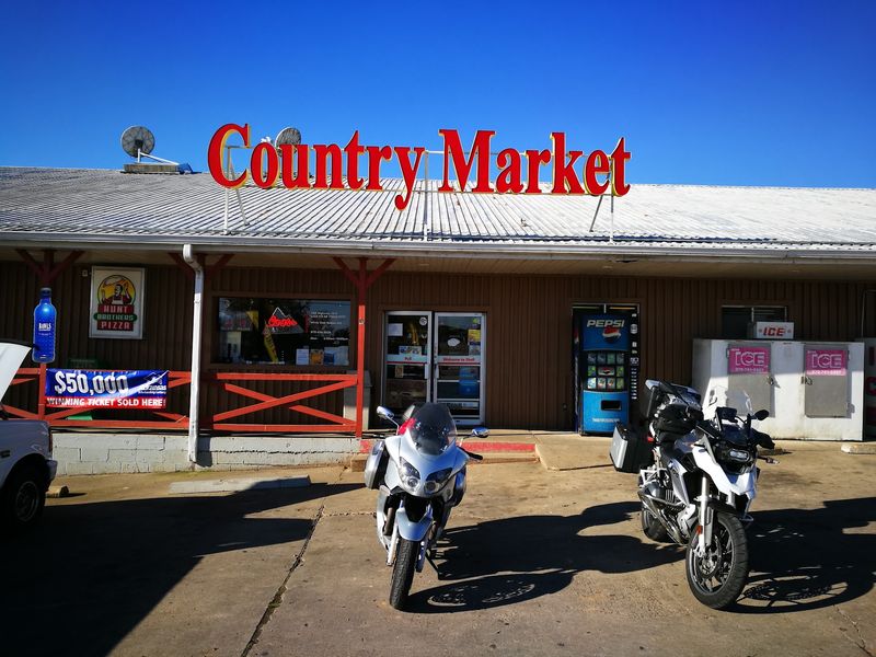
Downtown takes about one minute to see and quite a while to forget. A few storefronts and a post office sit near the main road, with the school close by.
The town belongs to the Harrison Micropolitan Statistical Area, which sounds far grander than it looks on the ground. Harrison, roughly twenty miles southwest, handles the bigger errands like groceries and hardware runs.
Signs here still lean toward hand-painted lettering rather than glossy corporate branding. Pickup trucks idle outside while drivers chat through open windows, and nobody seems to be in a hurry.
The mailing address could not be simpler, just Arkansas 72644 and a route number. Deliveries take a bit longer, and residents treat that as a perfectly fair trade.
School spirit runs deep in a community this size, where the Lead Hill Tigers give everyone a shared team. Friday nights in fall pull families toward the ballfields with folding chairs and thermoses of hot chocolate.
Visitors hoping for boutique shopping and espresso bars should recalibrate before arriving. What exists instead is a working small town that never bothered to reinvent itself for tourists.
Honestly, that lack of polish is exactly what makes the place memorable. Ordinary streets feel quietly refreshing when everywhere else is trying so hard.
Where Hills Meet Open Water
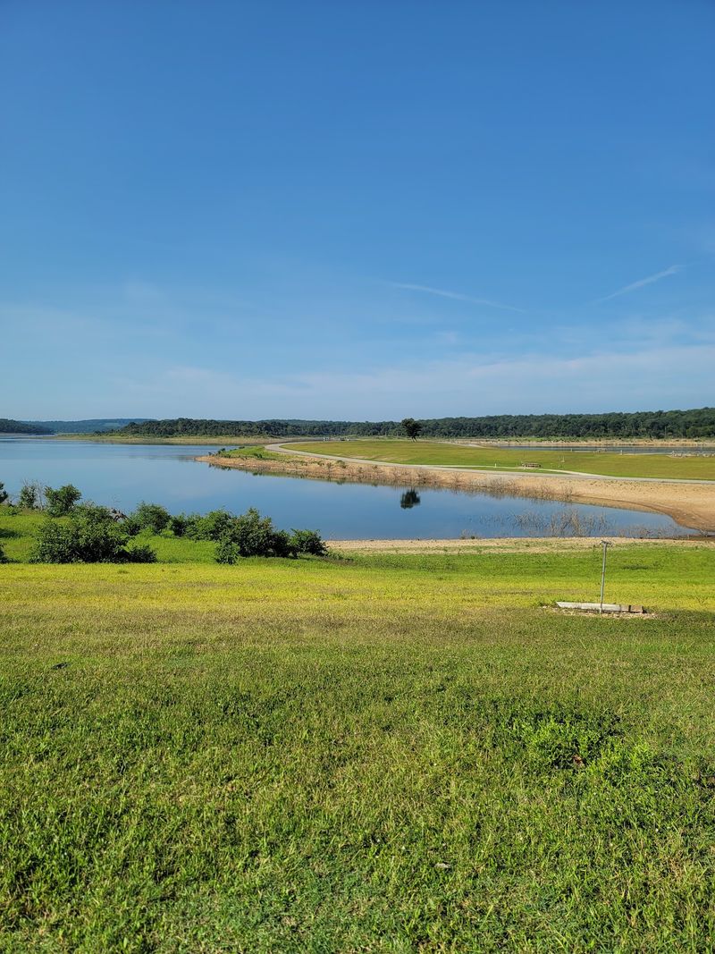
Shoreline access sits only a few minutes away the center of town. Lead Hill Park, operated by the Army Corps of Engineers, puts campsites within earshot of the lake.
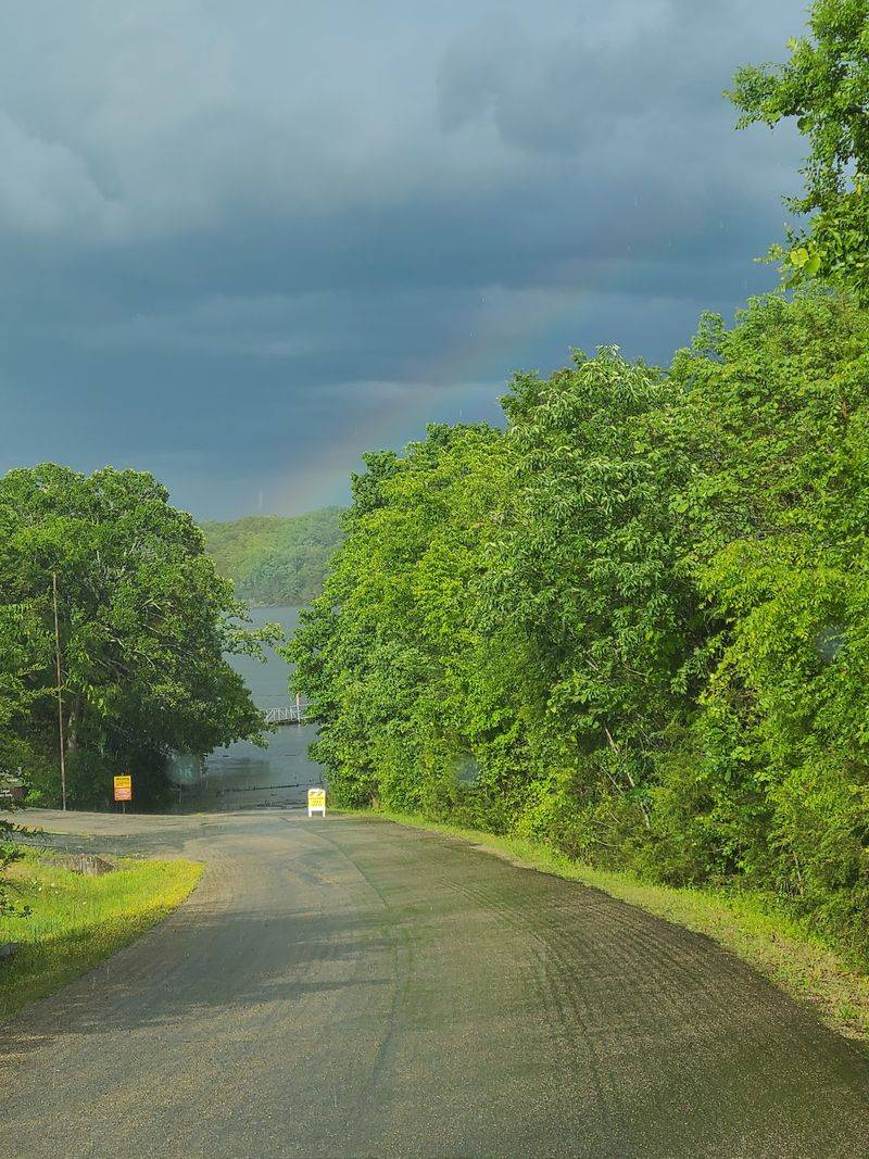
A boat ramp handles everything between heavy fishing rigs and kayaks launched before breakfast. Campsites sit under hardwoods that throw shade across most of the afternoon.
Bluffs and wooded points break the water into coves that feel private even in July. Boaters can idle for hours without crossing another wake on weekdays.
Fishing dominates the calendar, especially in spring when crappie move into the shallows. Summer shifts toward swimming and long afternoons anchored in a shady cove.
Herons work the shallows early, and vultures ride thermals above the ridgelines. Deer wander close to campsites at dusk, largely unbothered by the human audience.
Water levels rise and fall with rainfall and dam releases, so ramp conditions change through the year. Checking lake level updates before hauling a boat saves plenty of frustration.
What surprises me most is how little crowding happens on such an enormous lake. Space, rather than amenities, is the real luxury along this stretch of shoreline.
Sunrise over the water tends to arrive with mist curling off the surface. Coffee tastes better outdoors, and the view is included at no extra charge.
Quiet Roads Made For Wandering
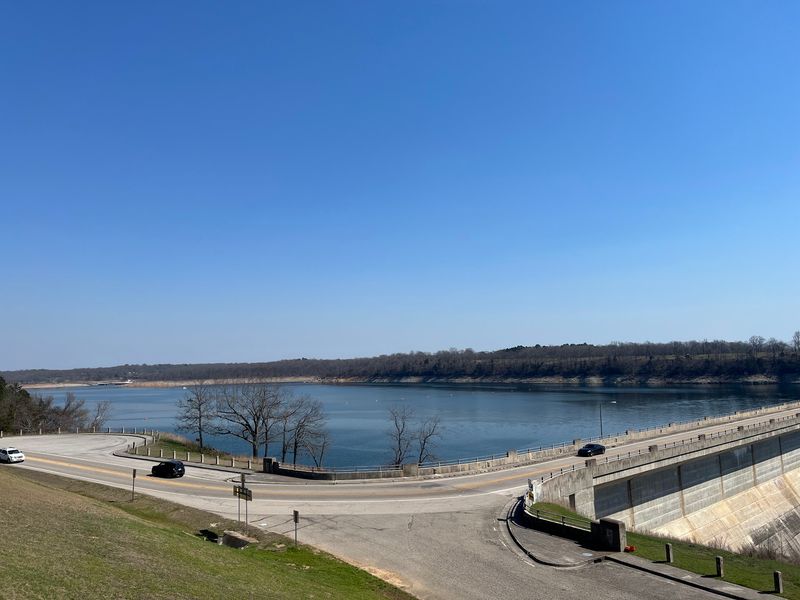
Back roads twist through these hills without much urgency. County routes climb and dip past hay fields, weathered barns and long stretches of oak forest.
Motorcyclists have known about this terrain for years, and the northern Ozarks reward slow throttle work. Cyclists find fewer cars than almost anywhere within an hour of driving.
Gravel roads branch off the pavement and wander toward lake access points and old homesteads. A vehicle with decent ground clearance opens up far more of the map.
Cell service can drop without warning between the ridges. Downloading offline maps ahead of time keeps a scenic detour turning into a guessing game.
Wildlife shows up constantly along these routes, especially near dawn. Wild turkeys strut across the asphalt, and armadillos appear in the ditches with total confidence.
Autumn turns the whole network into a color tour, usually peaking in late October. Hardwood ridges glow in copper and gold while the lake holds a deep blue below.
Roads carry little truck traffic outside of school hours and harvest season. Silence between passing vehicles stretches long enough to hear a hawk calling overhead.
Driving becomes the activity itself rather than the way to reach one. Curves keep hiding better views, which makes finishing a drive strangely difficult.
A Skyline Framed By Ozark Ridges
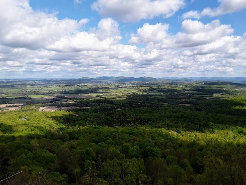
Evening light does something dramatic to these ridgelines. The sun slips behind layered hills, and the sky turns orange above a dark line of timber.
Elevation around the town sits at about 853 feet, high enough for long sightlines. Ridges stack toward the horizon in fading shades of blue-gray.
Night arrives with very little competition against artificial light. Stars appear in numbers that surprise anyone used to suburban glow, and the Milky Way shows up on clear nights.
Morning fog settles into the hollows and burns off slowly after sunrise. Ridgetops poke above the mist while entire valleys stay hidden for another hour.
Photographers chase these conditions across the Ozarks, though few think to point their lenses here. That oversight keeps the best roadside pull-offs delightfully unoccupied.
Storm season brings its own show in spring, with clouds building over the hills. Thunder rolls between the ridges and hangs around longer than it would on flat ground.
I appreciate that the scenery changes hour by hour without any effort required of visitors. Weather writes a new version of the view almost every single day.
Winter strips the leaves and reveals bluffs and rock ledges hidden all summer. Cold clear evenings deliver the sharpest horizons of the entire year.
A Scenic Drive Worth Taking
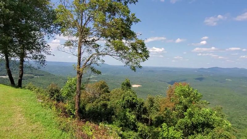
Highway 7 carries a big reputation among road trip fans. The route runs through much of the state and passes right through this small town on its way north.
Highway 14 meets it near town and heads east toward more lake country. Two well-placed highways give a community this size unusual reach.
Southbound drivers reach Harrison in about half an hour, where restaurants and fuel are plentiful. Continue farther and the Buffalo National River appears with its towering limestone bluffs and gravel bars.
Northbound Highway 7 ends near Bull Shoals Lake, so reaching Missouri requires another route. Table Rock Lake and Branson sit within a reasonable morning drive.
Curves come frequently, and the grades are steeper than most maps suggest. Drivers hauling trailers usually plan extra time rather than fight the hills.
Fall foliage traffic picks up in late October, though it never approaches gridlock. Even at its busiest, the road still feels generous with open space.
Small pull-offs appear at odd intervals, often with unmarked views over the valleys. Some of the finest ones have no signs at all.
I like that the route keeps a few secrets despite its own reputation. Famous highways rarely stay this uncrowded.
History Hidden Beneath The Landscape
Names usually come from somewhere, and this one is refreshingly literal. Lead deposits in the surrounding hills gave the settlement its identity back in the 1800s.
Small-scale mining happened in several pockets of northern Arkansas during that era. Operations here never grew into anything industrial, though the name stuck permanently.
Settlers arrived for timber and the rich White River bottomland long before any lake existed. Those bottoms now sit under water, along with roads and homesites nobody can visit.
Old maps show a different town in a different spot, which fascinates regional history buffs. Relocation in the early 1950s split the story into two clear chapters.
Foundations of the original community remain below the surface of the lake. Divers occasionally report structures in the deeper and clearer sections.
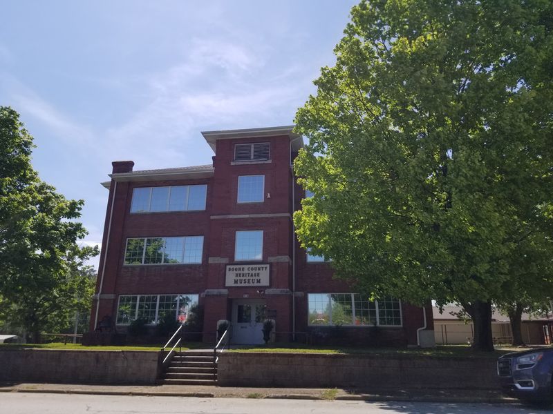
A county heritage museum in Harrison covers regional background for curious travelers. Photographs there show the valley before the dam rearranged the geography.
History here is not displayed behind glass so much as folded into the terrain. Roads end abruptly at the shoreline because they once continued much farther.
Few communities can point across open water and say the old neighborhood is out there. Quiet towns hold big stories, and this one keeps its best chapters just below the surface.