
This Massive Car-Free Washington Trail Takes You Through The Heart Of The Cascades
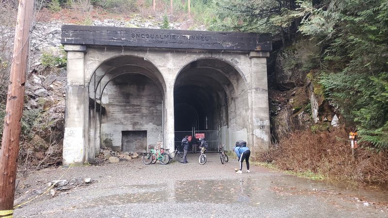
A dark tunnel more than two miles long sits on a Washington trail where no cars are allowed. You ride or walk straight through a mountain, and a headlamp quickly becomes your best friend in there.
That tunnel once carried trains, and now the old railroad grade carries hikers, runners, cyclists, and plenty of happy dogs. The path stays gentle because trains could never handle steep climbs.
I like how one parking lot can launch so many different kinds of days. You could stroll a flat gravel path for an hour, or pedal toward the high Cascades and camp at simple sites along the way.
I can’t imagine a better way to feel the true size of these mountains without fighting traffic. So where does the journey actually start, and how far should you go?
Your Cascades Adventure Starts At A Humble Gravel Lot
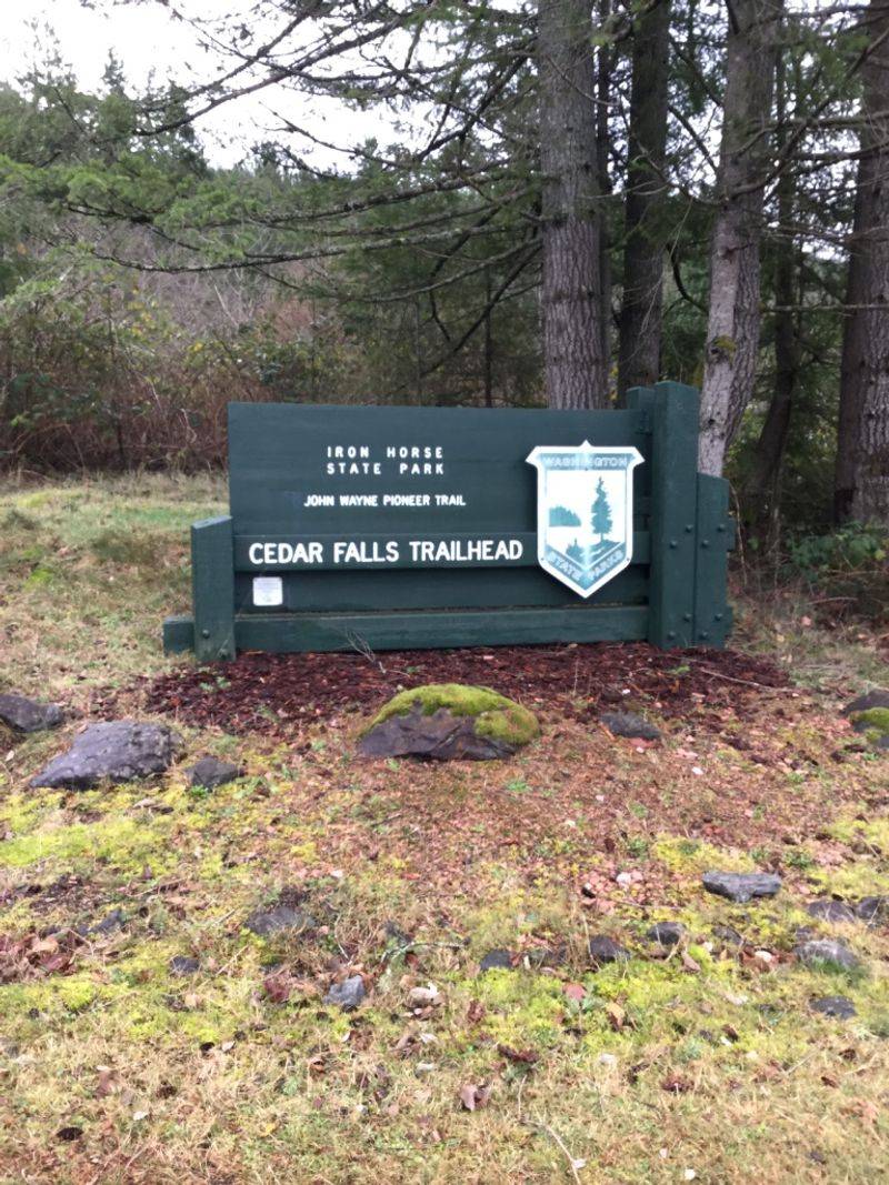
One unassuming parking lot outside town opens the door to an enormous cross-state path. Palouse to Cascades State Park Trail – Cedar Falls Trailhead is the western gateway that many local hikers and riders use first.
The trailhead sits just past the busy Rattlesnake Ledge trailhead, so don’t mix them up. The two share a neighborhood, but they lead to very different kinds of days.
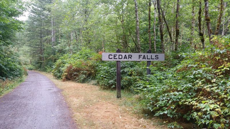
From here, a broad gravel path heads east into thick Cascade forest. It follows an old railroad bed, which means no cars, no engines, and very few surprises underfoot.
The trailhead also connects to side routes like Cedar Butte, Twin Falls, and the Olallie area. That makes it a handy hub for people who like options before they even lace up.
Big groups often gather here before hitting the trails together. It’s a natural meeting spot with room to organize bikes, packs, and maybe a sleepy teenager or two.
So think of this lot as a front porch. The house behind it just happens to stretch across most of Washington, and you can wander as far into it as your legs allow.
Trains Once Rolled Where Your Boots Will Land
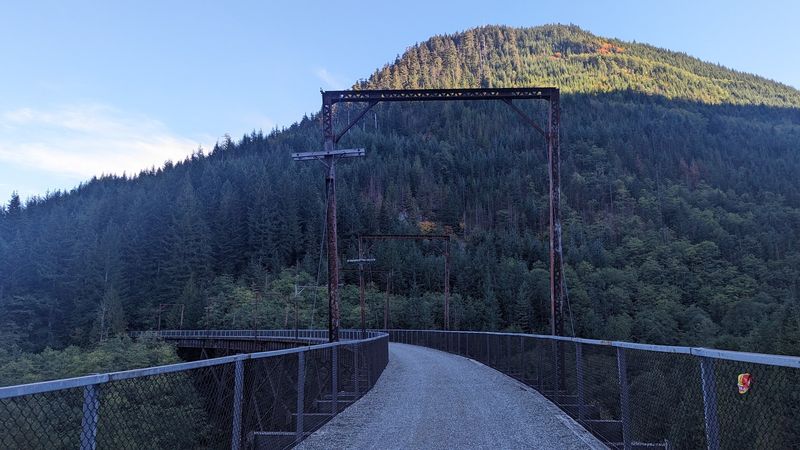
Long before mountain bikers claimed it, this corridor belonged to the railroad. Today it’s what folks call a rail-trail, a retired line reborn as a path that’s largely free of motor vehicles.
That history explains why the route feels so smooth. Trains needed gentle grades, so the trail climbs and drops gradually instead of punishing you with steep switchbacks.
You’ll also cross a variety of bridges along the way. Every one of them was originally built for trains, which adds a quiet sense of scale to an ordinary afternoon walk.
Tunnels are part of the package too. They were blasted through the mountains for rail traffic and now serve cyclists, runners, and hikers instead.
I love that a piece of heavy industry turned into something so peaceful. The tracks are gone, but the bones of that old engineering still guide every step you take.
Next time you notice how easy the incline feels, thank the railroad crews. They did the hard planning, and you get to enjoy the views without huffing and puffing like a steam engine.
A Headlamp Turns The Long Mountain Tunnel Into Pure Fun
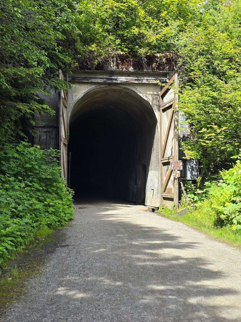
Darkness is the main attraction here, oddly enough. Heading east toward Keechelus Lake, riders pass through a long, pitch-black tunnel to get over the pass.
The Snoqualmie Tunnel runs more than two miles through the mountain. Bring a headlamp or a strong bike light, because daylight vanishes quickly once you’re inside.
It’s one of the most talked-about features of the whole trail. People who ride to the top often call the tunnel the coolest part of the trip, and it’s easy to see why.
Keep in mind that it’s a serious ride from Cedar Falls to reach it. The route climbs steadily eastward, so plan your energy, snacks, and water before you commit.
Pack a warm layer too. Tunnels through mountains don’t exactly bask in summer sunshine, and a light jacket weighs almost nothing in your bag.
The bonus comes on the way back. Plenty of cyclists say the return trip downhill is an absolute blast, which feels like a well-earned reward after all that steady pedaling in the dark.
Gravel Bikes Get A Long, Steady Climb Toward The Pass
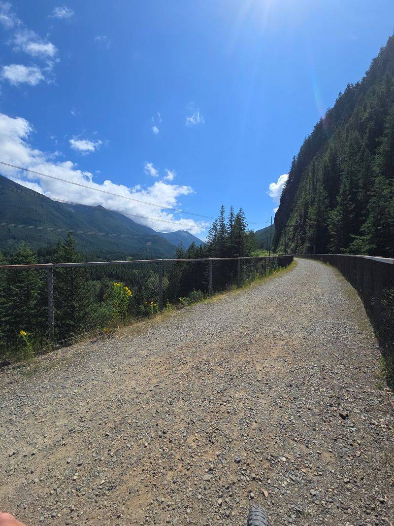
Gravel grinders, meet your new favorite playground. The trail surface is crushed gravel, and the views along the way are stunning enough to slow down any speed demon.
Heading east from Cedar Falls, the elevation rises gradually. You won’t face brutal pitches, but the climb is real and steady over many miles.
Wider tires help a lot on this surface. Some sections have sharper rocks, so a sturdy setup makes the ride far more comfortable.
Bikepackers love this route for multi-day trips. With campsites, picnic spots, and restrooms spread along the way, a slow tour through the woods feels very doable.
There aren’t stores along the route, though. Carry your own food and water, and pack every bit of trash back out with you.
The scenery shifts as you climb, from dense forest to bridges and mountain views. It’s the kind of ride that makes you stop for photos more often than you planned, and nobody will judge you for it.
Easy Walks Work Beautifully For Slower Days
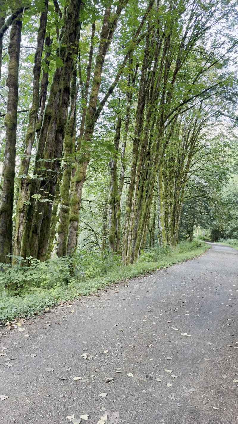
Not every outing needs a summit. The broad, mostly flat path near Cedar Falls makes a relaxed walk feel effortless, even for folks who rarely hike.
Because the trail follows the old rail grade, the incline stays low. That’s welcome news for grandparents, younger kids, and anyone easing back into outdoor time.
The width matters too. There’s room for walkers, runners, and cyclists to share the space without feeling cramped.
Dogs are welcome, which means your four-legged hiking buddy can tag along. Just keep an eye out for bikes and give everyone a little room.
Families with young children are a common sight here. It’s a lovely way to introduce kids to the beauty of the Pacific Northwest without a tough climb or tears halfway up.
Picnic tables sit near the trailhead as well. Pack sandwiches, walk out for a bit, and come back for lunch in the trees, which honestly sounds like a perfect Washington Saturday on a budget.
Cedar Butte Packs A Real Workout Into A Short Hike
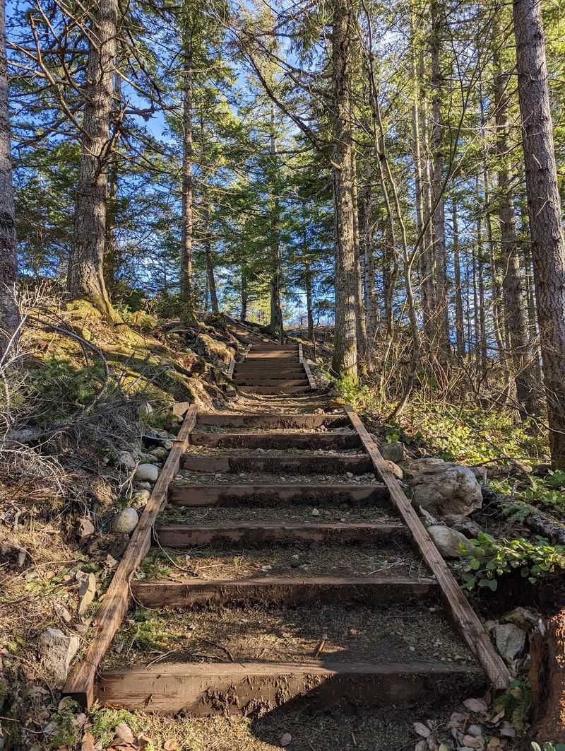
Feel like earning a view? A short walk from the trailhead leads you across Boxley Creek, where a sign on a tree points the way to Cedar Butte.
The climb gains roughly 1,000 feet of elevation. That makes it a solid conditioning hike, and plenty of trail runners use it for training.
At the top, you’re rewarded with nice views over the surrounding area. It’s a satisfying payoff for a hike that won’t eat up your entire day.
Getting started can be slightly confusing. A few random forks appear early on, so study the map at the beginning before you head out.
The first stretch is shared with lots of cyclists on the main trail. Stay alert until you split off onto the Cedar Butte path.
I like that one trailhead offers both a flat stroll and a leg-burning climb. You can choose your effort level on the spot, depending on your mood, your energy, and how much breakfast you actually ate that morning.
Rattlesnake Lake And Twin Falls Sit Just Around The Bend
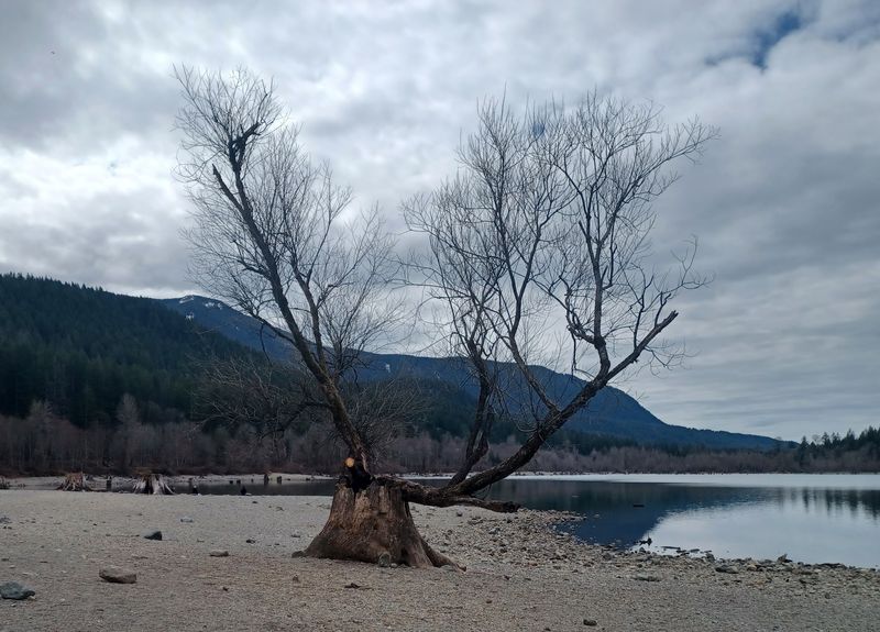
Neighbors make this trailhead even better. Rattlesnake Lake and the famous Rattlesnake Ledge trailhead sit right nearby, just across the road.
Here’s a helpful trick on busy weekends. The Cedar Falls trailhead tends to be far calmer than its popular neighbor, even though they’re practically next door.
Want more waterfalls in your day? Some hikers extend their outing toward Twin Falls, which branches off this trail system.
The Olallie area is another favorite connection. Mountain bikers often park at Cedar Falls specifically to ride over there.
Back toward town, the route also links North Bend with Rattlesnake Lake through Tanner Landing and the Mount Si Road area. That stretch works for biking, hiking, and even horseback riding.
Rock climbing spots also exist around North Bend for anyone craving vertical fun. Put it all together, and this corner of Washington starts to feel like a choose-your-own-adventure book written in fir trees and mountain air.
Simple Campsites Make Overnight Trips Surprisingly Easy
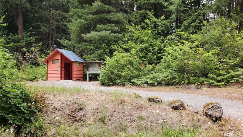
Bike camping sounds fancy until you try it here. Rest stops are spread out along the route, and some of them include campsites.
Those campsites are first come, first served. So arriving with a flexible plan helps if your favorite spot is already taken.
Here’s a quirky detail worth knowing. Payment drop boxes for the campsites aren’t always located at the same rest stop as the site itself.
Restrooms appear every few miles right along the trail. Brightly colored outhouses with information displays help mark these stops, which makes navigation easier.
Picnic areas pop up along the way too. They’re perfect for a lunch break between long stretches of riding through the trees.
Remember, there are no stores on the route. Pack your own food and water for every day of the trip, and carry everything back out.
Do that, and a three-day trek across the mountains becomes a realistic, wallet-friendly adventure instead of a far-off dream.
Wildlife, Berries, And A Protected Watershed Shape The Scenery
A black bear once casually crossed this trail while hikers watched. Sightings like that remind you that these woods belong to wildlife first.
Keep a respectful distance if you spot an animal. Stay calm, give it space, and enjoy the moment from afar.
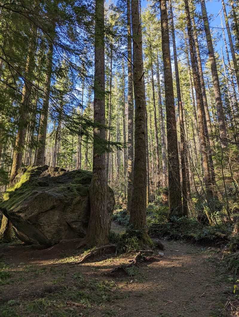
Along the path, various berry plants grow among the trees. The scenery shifts constantly, with thick woods that feel quiet and beautiful.
You’ll also notice signs about a nearby watershed. This land helps supply drinking water to the Seattle area, so posted no-trespassing zones must be respected.
Seasons bring surprises too. Snow can linger in unexpected places, and some stretches get muddy after wet weather.
Waterproof shoes or boots make a big difference on soggy days. Nobody wants cold, squishy socks three miles from the car.
With the right footwear, though, a gray Washington morning can turn into one of the prettiest, most peaceful walks you’ll take all year.
Runners Find Miles Of Room To Chase Big Goals
Fifty miles is a long way to run. Still, ultrarunners have covered the stretch between Cle Elum and North Bend on this very trail.
The route feels safe and easy to navigate over long distances. That makes it appealing for runners building serious mileage.
A footwear tip comes up often. Some rocks feel a little sharp, so tender-footed runners may prefer hiking shoes over regular running shoes.
The Cedar Falls area also sits near the midpoint of the Iron Horse half marathon route. Heading east, the elevation steadily climbs.
Shorter efforts work great too. Cedar Butte offers a quick hill workout, while the flat main trail suits easy recovery jogs.
I believe this trail quietly serves every type of runner. Beginners can jog a gentle mile, and experienced athletes can chase marathon-length dreams without ever dodging a car.
Bring water, pace yourself on the climb, and let gravity help you home on the cruise back down.
Parking, Passes, And Hours Worth Knowing Before You Go
Parking here requires a Discover Pass. Forgetting it is the fastest way to turn a lovely hike into an annoying ticket.
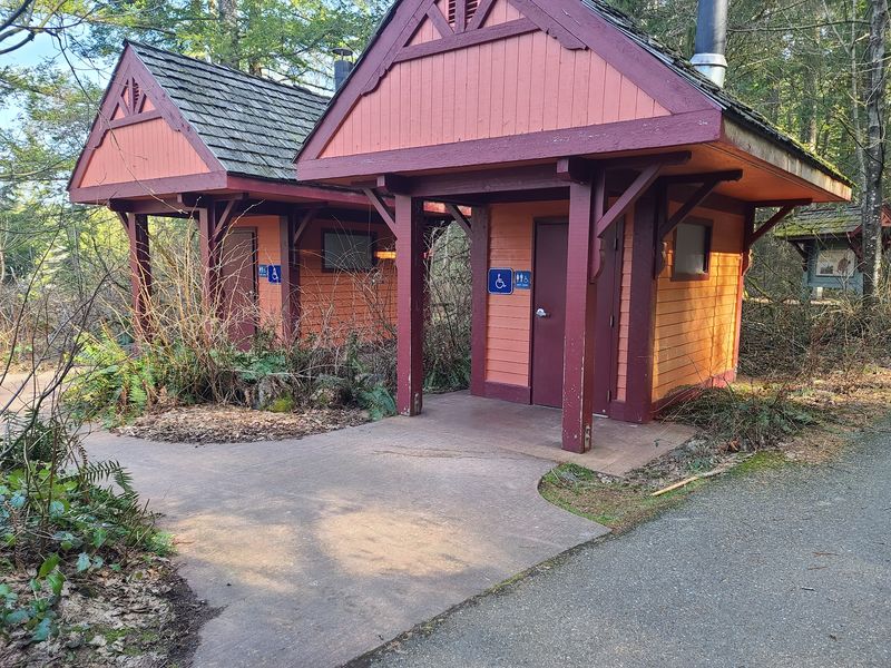
The official location is North Bend, WA 98045, just past the Rattlesnake Ledge trailhead off Cedar Falls Road. The lot is spacious, and the bathrooms are kept clean.
Arrive early on nice days. Summer weekends fill up quickly because so many people flock to Rattlesnake Ledge nearby.
Got an expired pass? Some folks park in the non-permitted lot off Cedar Falls Road instead, and street parking also exists nearby.
Hours vary slightly by day. On Mondays and Fridays, the trailhead runs from 6 AM to 9 PM.
Tuesday through Thursday, plus weekends, it opens at 7 AM and closes at 8:30 PM. Plan your start time around those hours, especially for longer rides.
Seasonal conditions can also affect sections farther east, so checking Washington State Parks updates before a big trip is always a smart move.
A Car-Free Corridor That Rewards Every Kind Of Explorer
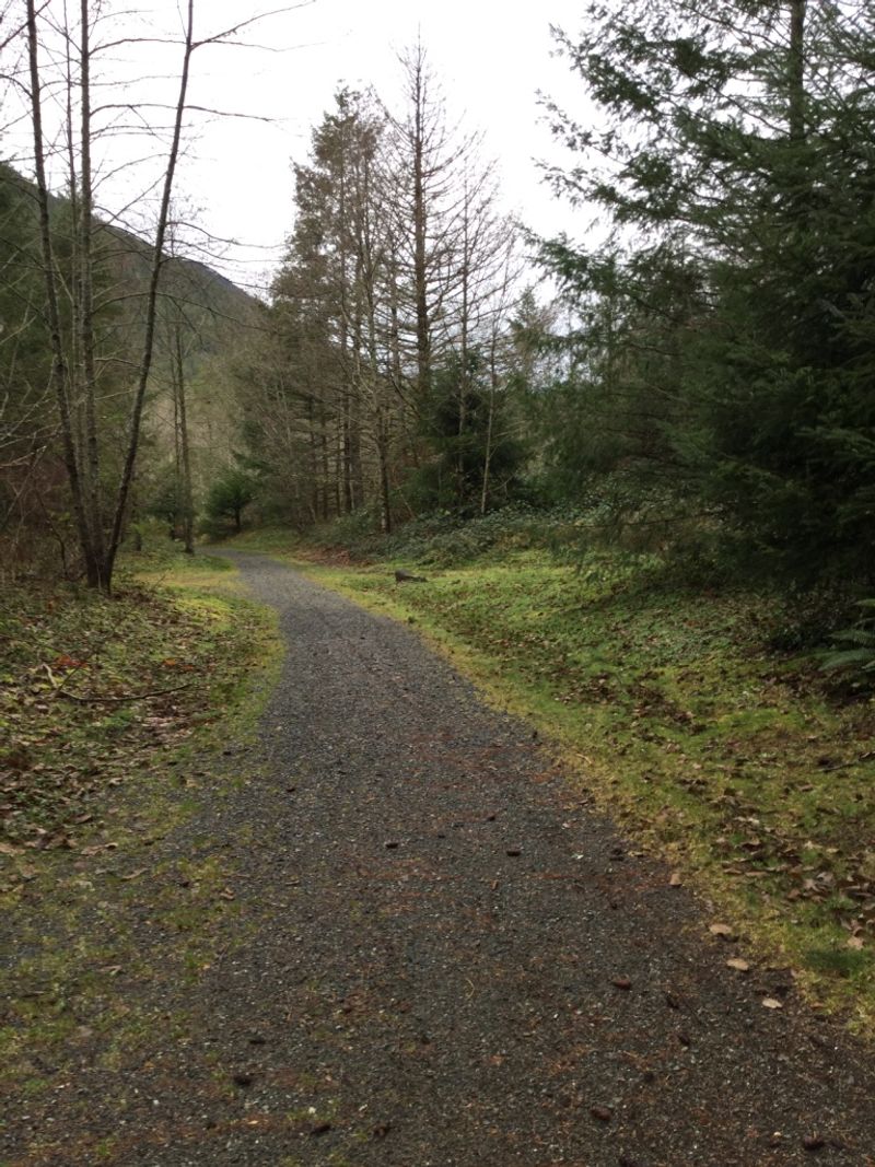
Few places let you choose between a toddler-friendly stroll and a cross-mountain expedition from one lot. Palouse to Cascades State Park Trail – Cedar Falls Trailhead pulls off that trick with ease.
Families get flat gravel and picnic tables. Cyclists get a long climb, a legendary tunnel, and a joyful descent home.
Hikers can grab quick views on Cedar Butte. Runners can log easy miles or push toward huge distances across the mountains.
The costs stay refreshingly low too. A Discover Pass, a packed lunch, and a full tank of curiosity cover most of what you need.
I like how the trail turns old railroad history into something everyone can share. It feels welcoming, practical, and quietly impressive all at once.
So grab your headlamp, fill your water bottles, and head toward North Bend. The heart of the Washington Cascades is waiting at the end of a gravel path, and you get to decide exactly how deep you want to go.