
This Tiny California Town Vanished From The Map, But Its Story Lives On
It was a town that had streets, homes, and families. Then, one day, it was gone.
Not abandoned. Not forgotten. Gone.
Hidden beneath the waters of change, this tiny California community disappeared from the map, leaving behind only memories and a story that few people know. What happened here wasn’t the result of a disaster or a ghost town slowly fading away.
It was a decision that changed an entire way of life. Today, the echoes of that lost town still fascinate historians, travelers, and anyone drawn to the mysteries of places that no longer exist.
Because sometimes the most unforgettable towns aren’t the ones that survive. They’re the ones that vanish and leave everyone wondering what came before.
The Berryessa Valley Before It All Changed
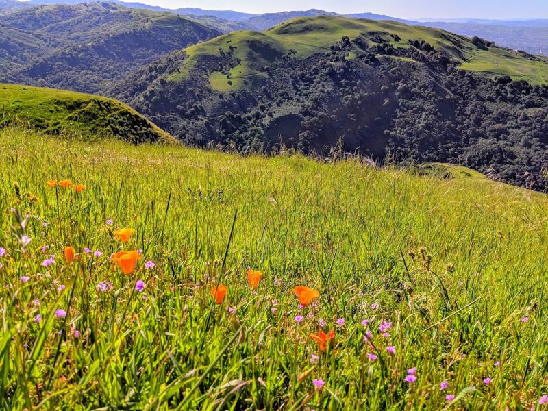
Picture a valley so fertile and peaceful that farmers traveled from miles away just to plant roots there. The Berryessa Valley, nestled in Napa and Yolo Counties, was exactly that kind of place.
Mild winters, generous harvests, and wide-open skies made it a genuine agricultural paradise in Northern California.
The valley’s history stretches back to 1843, when the Mexican government granted the land to the Berryessa family through a land grant called Rancho Las Putas.
That name raised more than a few eyebrows over the years, but the land itself was undeniably beautiful. Generations of families built lives there, farming wheat and raising livestock with pride.
By 1866, the town of Monticello had been officially platted, and within a year, settlers were flooding in. General stores, blacksmith shops, hotels, and a post office quickly followed.
The valley had a rhythm to it, a slow, dependable pulse that felt permanent.
An annual rodeo became a beloved community tradition, bringing everyone together in celebration. Nobody living there in 1900 could have imagined that within six decades, their entire world would be sitting at the bottom of a man-made lake.
The valley was real, vibrant, and deeply loved.
The Solano Project And The Decision That Changed Everything
Not every life-changing decision comes with fireworks. Sometimes it comes quietly, buried inside a government infrastructure plan called the Solano Project.
Initiated in 1947, this ambitious water management scheme was designed to address California’s rapidly growing demand for water and agricultural irrigation across Solano County.
The plan centered on one critical move: damming Putah Creek, the very lifeline of Monticello and the Berryessa Valley.
Proposals to do exactly that had actually circulated as early as 1906, which means residents had been nervously watching this idea hover overhead for decades.
When California Governor Earl Warren and Solano County officials finally pushed it forward, protests from valley residents fell largely on deaf ears.
The argument from the government’s side was straightforward: a growing California needed water more than it needed one small farming town.
That logic was hard to argue with on a statewide scale, even if it felt devastating up close. Construction of the Monticello Dam officially began in 1953, signaling the beginning of the end for the valley community.
Residents began quietly packing their lives into boxes, one household at a time.
Progress, it turned out, does not always ask permission before it shows up at your door.
The Town That Built Itself Into Something Special
You do not just stumble into a town with a cemetery, a general store, blacksmith shops, multiple hotels, and its own post office without someone putting in serious work.
Monticello, by the 1870s, had become exactly that kind of thriving, self-sufficient community. It was not a boomtown fueled by gold rush fever.
It was something steadier and more grounded.
Farming drove everything. Wheat was the star crop, and the valley’s mild climate kept harvests generous and predictable.
Families planted deep roots here, both literally in the soil and figuratively in the community fabric. High school students made the trip to Winters High School, and the annual rodeo was the social event everyone circled on the calendar.
The post office operated from 1867 all the way until 1956, nearly ninety years of letters, packages, and community connection passing through its doors.
That kind of longevity says everything about how real and enduring this place was. Monticello was not a ghost town waiting to happen.
It was alive, functional, and genuinely beloved by the people who called it home.
The irony that it would eventually become an actual underwater ghost town is the kind of twist that keeps historians up at night, shaking their heads in quiet disbelief.
The Final Days And The Families Who Said Goodbye
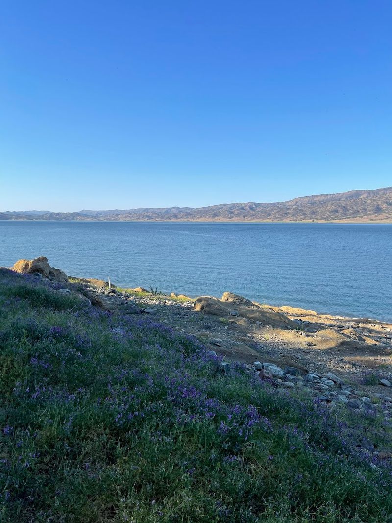
Leaving a home you have lived in your whole life is one thing. Leaving knowing that your home will be underwater within a few years is something else entirely.
That was the reality facing Monticello residents as construction on the dam progressed through the early 1950s. Most families had cleared out by the summer of 1956.
The process of emptying the valley was methodical and, honestly, a little heartbreaking to think about. Vegetation was chopped down, fences were torn apart, and buildings were systematically demolished down to their foundations.
The goal was to leave as clean a slate as possible before the water arrived. Nothing was left standing that could become a hazard beneath the future lake.
One exception stood firm though. A sturdy stone bridge built in 1896 across Putah Creek simply refused to be demolished easily.
Workers eventually gave up trying to bring it down, and the bridge was left to be claimed by the rising water. It remains there today, sitting silently on the lake floor, a stubborn piece of history that outlasted every effort to erase it.
Saying goodbye to Monticello was not a single dramatic moment. It was a hundred small goodbyes stretched across months, each one carrying the full weight of a lifetime lived in that valley.
The Monticello Dam And The Glory Hole That Stole The Show
Here is the thing about the Monticello Dam: it is genuinely impressive engineering, even if its existence came at a significant cost.
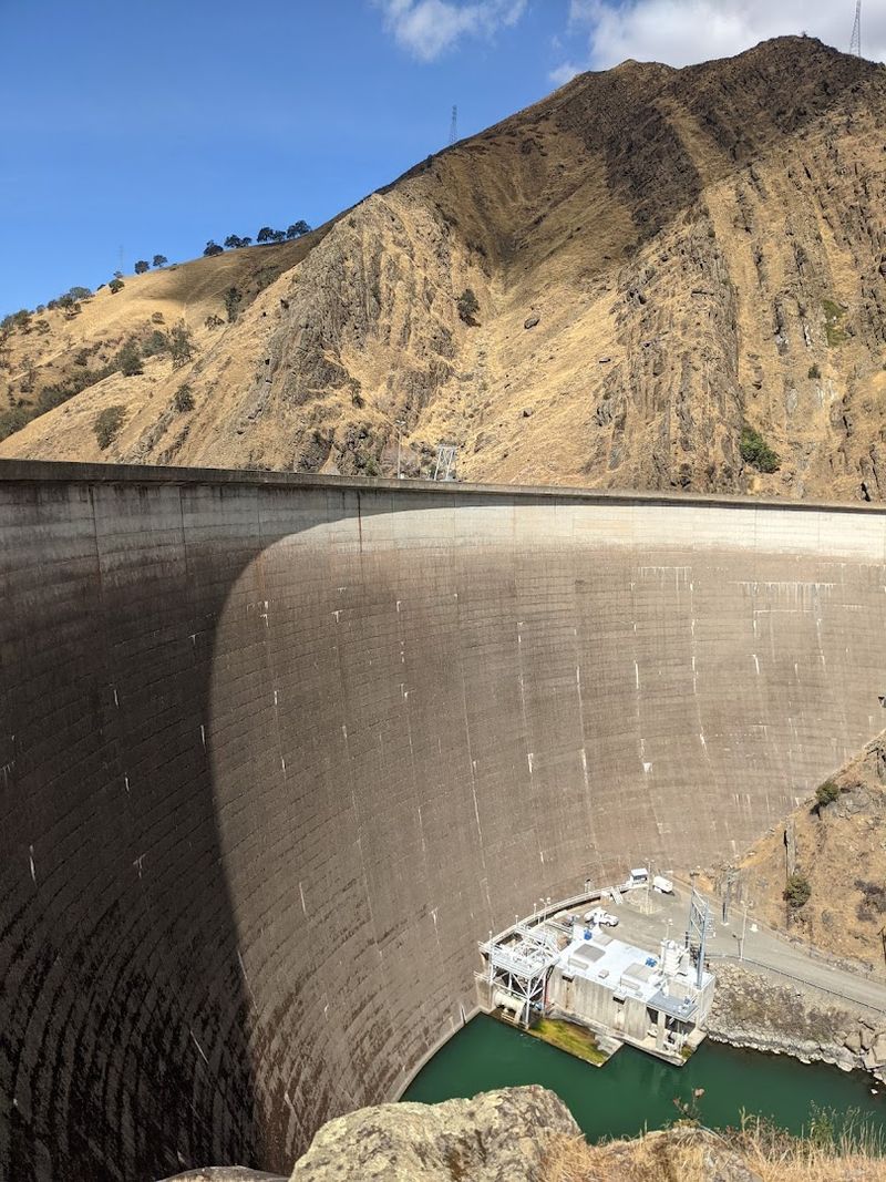
Completed in 1957, the dam stands as a concrete arch structure stretching across Putah Creek, holding back the waters of what became Lake Berryessa.
It was built as the centerpiece of the Solano Project and has been delivering water to Solano County ever since.
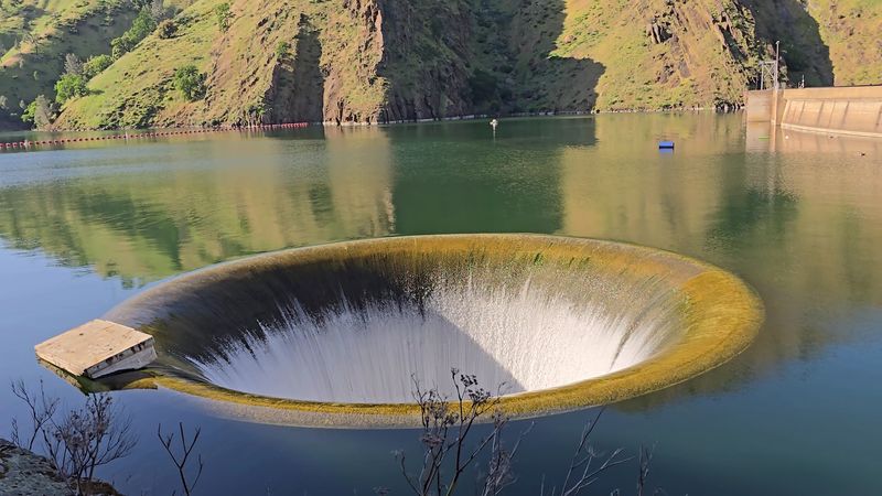
But honestly, the dam’s most famous feature is not the dam itself. It is the spillway, a massive circular drain officially called the Morning Glory Spillway, nicknamed the Glory Hole.
When the lake reaches capacity and water begins pouring into that giant funnel, the visual effect is absolutely mesmerizing. It looks like the lake is being sucked into another dimension.
The Glory Hole measures 72 feet in diameter at the top and drops water down a 28-foot pipe before channeling it safely downstream.
During heavy rainfall years, when the spillway activates, people drive from across California just to watch it in action. Videos of it circulate online and consistently blow people’s minds.
The dam transformed a valley into a reservoir, yes, but it also accidentally created one of California’s most visually dramatic water features. Sometimes infrastructure surprises you with its unintentional artistry.
What Grew Where A Town Once Stood
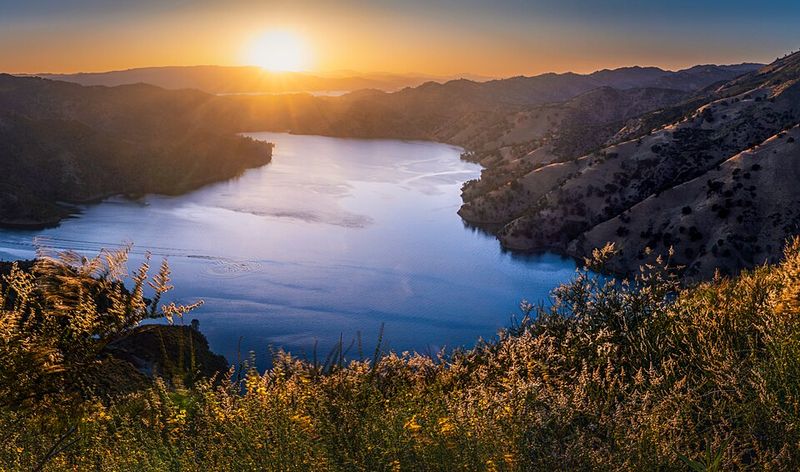
By 1963, the water had finally finished its slow, steady climb, and Lake Berryessa was officially full. At roughly 13,000 acres of surface area, it became the largest lake entirely within Napa County and one of the largest man-made lakes in California.
A quiet valley had transformed into a destination for boating, fishing, and outdoor recreation.
The lake draws visitors year-round, offering opportunities for bass fishing, water sports, camping along its shores, and simply soaking in the scenery.
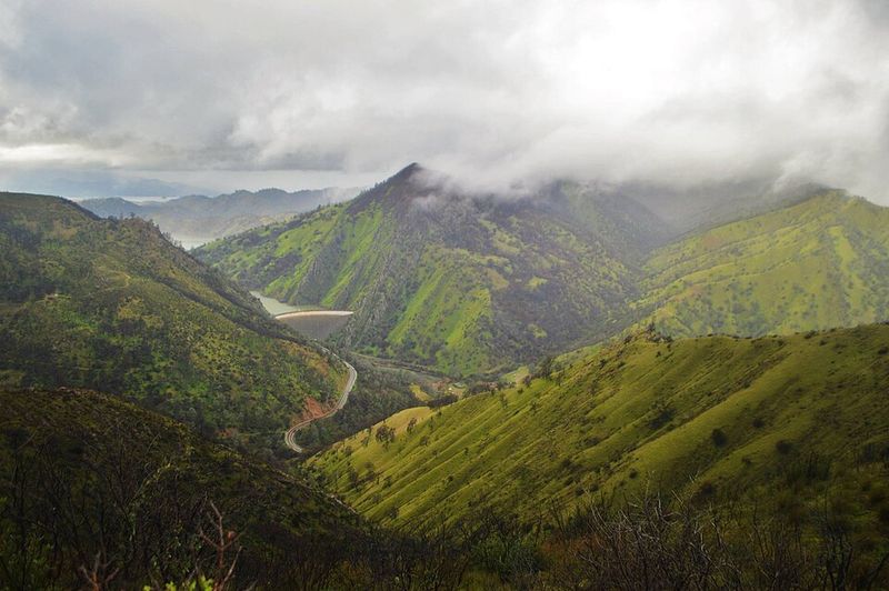
Oak-covered hillsides roll down to the water’s edge, and on calm mornings, the surface can look almost impossibly still. It is beautiful in that effortless Northern California way that makes you want to linger longer than planned.
But there is always a layer of awareness for those who know the history. Somewhere beneath those calm blue waters, the old stone bridge from 1896 is still sitting right where workers left it.
The foundations of former homes, stores, and community buildings rest silently on the lake floor. Lake Berryessa is genuinely lovely, and it serves a real, essential purpose for the region.
Holding both of those truths at once, its beauty and its complicated origin, is what makes visiting it feel unexpectedly meaningful. The lake earned its place on the map.
When The Water Recedes And Monticello Comes Back To Visit
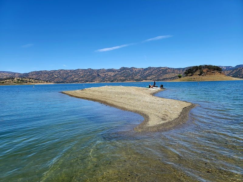
Every now and then, California’s drought cycles do something unexpected: they give Monticello back, if only briefly.
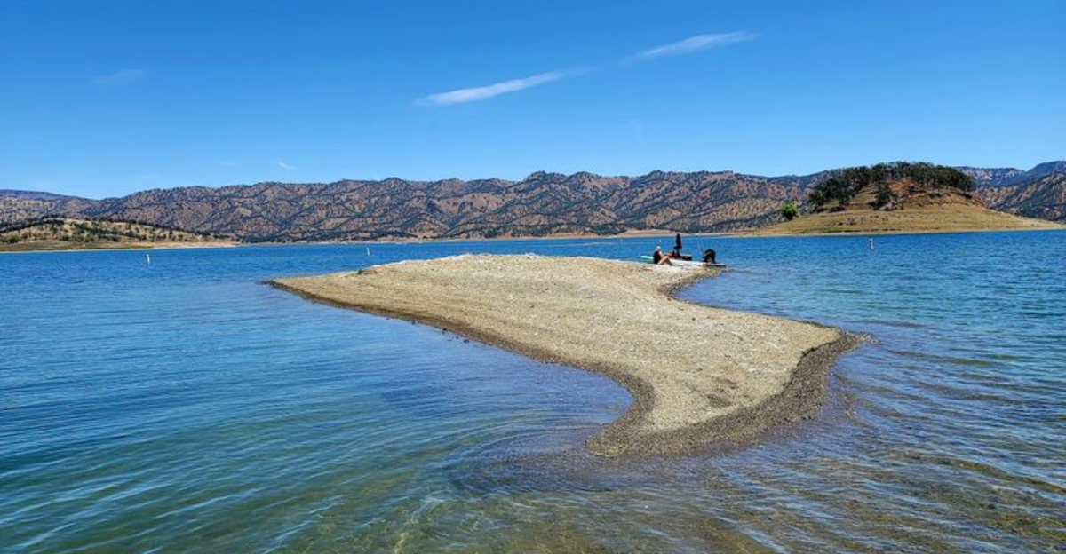
When water levels in Lake Berryessa drop significantly during extended dry periods, remnants of the old town begin to emerge from beneath the surface. Old foundations, the famous stone bridge, and scattered structural traces reappear like a town clearing its throat.
These moments tend to generate a wave of curiosity and media attention.
People who had no idea a town existed beneath the lake suddenly find themselves reading about Berryessa Valley history, about the families who left, and about the photographs Dorothea Lange took during those final days.
A drought becomes an unexpected history lesson delivered by the water itself.
The submerged Putah Creek Bridge has also become a recognized scuba site, drawing underwater explorers curious to see what a 19th-century stone bridge looks like after decades beneath a California lake.
It is one of those genuinely rare experiences that sits at the intersection of history, nature, and adventure. Monticello may not appear on any current map of California, but it has a persistent way of making itself known.
Whether through photographs, drought-exposed foundations, or a bridge that refused to be torn down, the town keeps showing up, stubbornly reminding everyone that some stories are simply too good to stay buried.
Does that not tell you everything about what this place meant to the people who loved it?