
Tourists Keep Missing These 10 Pennsylvania Trails And They’re Missing Out
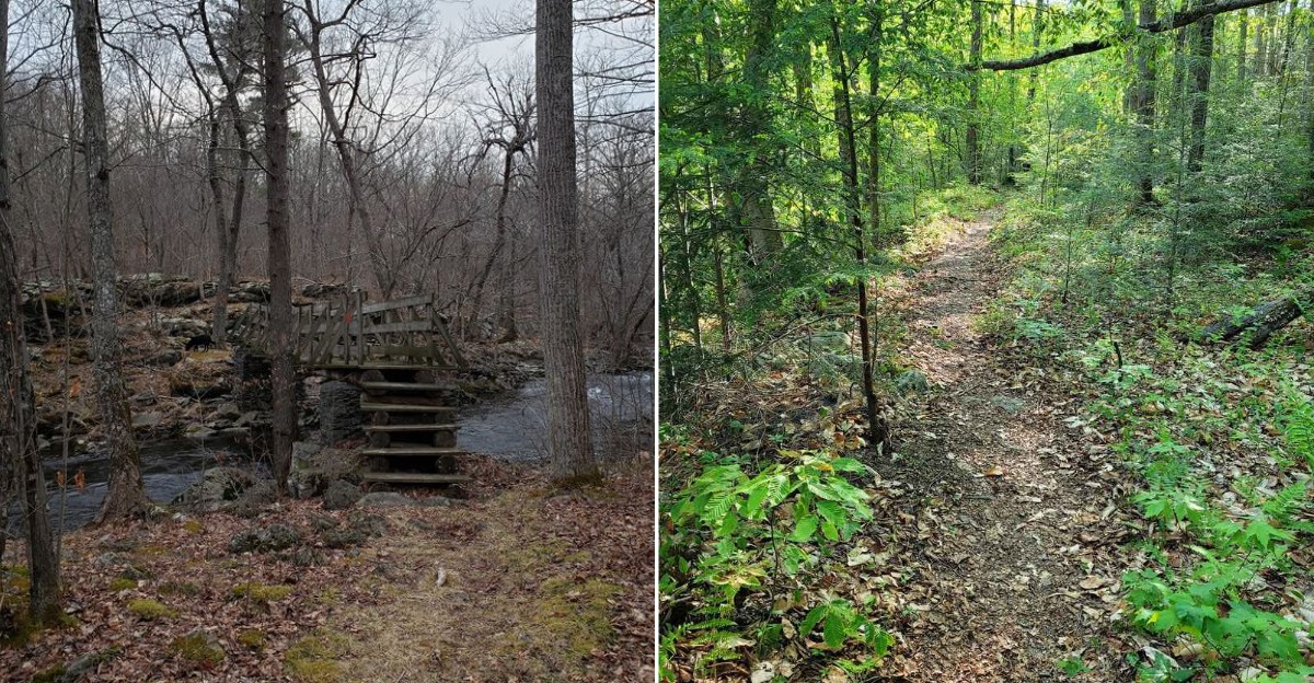
Tourists tend to follow the signs everyone else follows. That is how the quieter trails stay quiet.
Pennsylvania has plenty of paths that never become the obvious weekend choice, yet they can deliver some of the best walks precisely because they are overlooked.
Fewer people can mean more room to notice the trail itself, take your time, and enjoy the kind of outing that does not feel like a race between viewpoints.
Sometimes missing the famous route is the better deal. One of my favorite hikes started because I took the wrong turn and decided not to fix it right away.
The trail was nearly empty, the pace felt easy, and I kept going mostly because nobody else seemed to be there.
I eventually found my way back without anything dramatic happening, but that detour stayed with me.
I still think about it whenever I pass a trailhead with only a few cars parked nearby. The quieter option has a funny way of becoming the one I remember.
1. Black Forest Trail, Tiadaghton State Forest
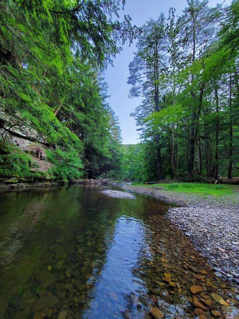
Steep is the word most hikers use first, and they say it with a grin and sore calves.
The Black Forest Trail runs a rough loop of about forty two miles through Tiadaghton State Forest in Lycoming County, northern Pennsylvania.
Elevation changes come fast and often, dropping into creek hollows and climbing right back to ridge overlooks. Most people spread the loop across three or four days, though strong hikers push it in two.
The route starts near Slate Run, a tiny village along Pine Creek that feels pleasantly forgotten. Water sources are decent in spring and fall, but late summer can dry things up, so carry extra.
Rattlesnakes sun themselves on rocky sections in warm months, which sounds alarming and mostly just means watching where you step.
Orange blazes mark the way, and the trail is maintained well enough that navigation stays simple.
Fall brings the best color and the coolest air, making October the sweet spot for the Black Forest Trail. Access is easiest from Slate Run, Pennsylvania, where the parking area sits close to the creek.
2. West Rim Trail, Tioga State Forest
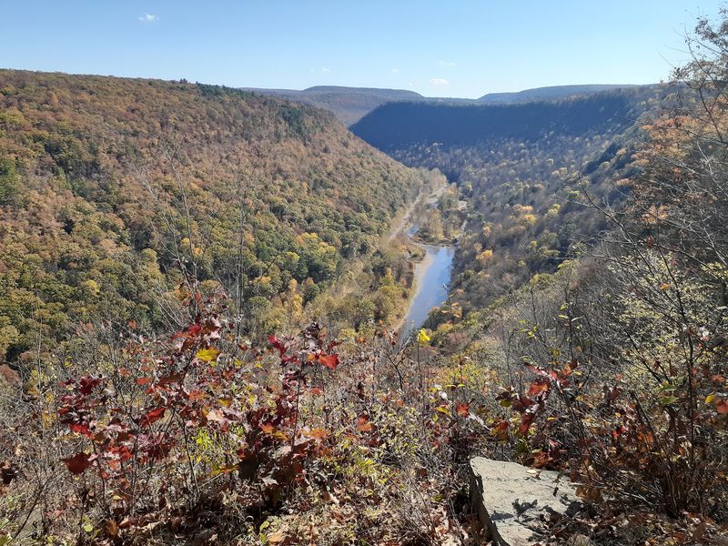
Canyon views without the shoulder to shoulder crowds still exist, and here is the proof.
The West Rim Trail stretches roughly thirty miles along the western edge of Pine Creek Gorge in Tioga State Forest, northern Pennsylvania.
Overlooks appear every few miles, some marked, some found by following a faint side path toward daylight. Below, Pine Creek curls through the gorge while bikers pedal the rail trail far beneath your boots.
Backpackers usually take two or three days, camping at established sites spaced along the ridge.
Pine Creek Outfitters near Ansonia regularly shuttles hikers directly between both termini, which removes the usual car juggling headache.
Spring runoff feeds the side streams, and the laurel blooms in June turn several stretches pink and white. Winter transforms the West Rim Trail into a quiet snowshoe route, though road access can get tricky.
Trailheads sit near Ansonia and Blackwell, Pennsylvania, both a short drive from Route 6. Bring a camera with plenty of storage, because that gorge refuses to photograph the same way twice.
3. Old Logger’s Path, Loyalsock State Forest
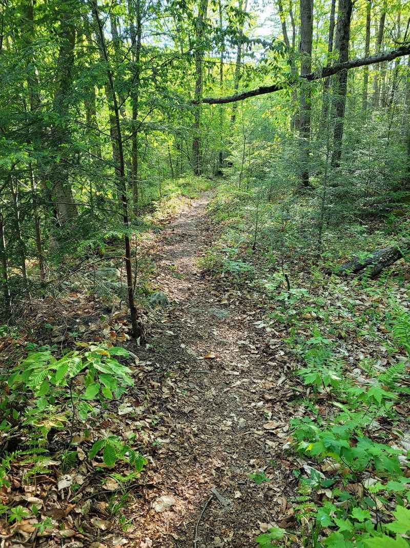
History hides under the moss on this loop, and you walk right over it.
Old Logger’s Path covers about twenty seven miles in Loyalsock State Forest, following grades cut by railroads that hauled timber more than a century ago.
Sections feel unusually flat for the region, then the route tilts upward toward viewpoints like Sharp Top and Rock Run overlooks.
Rock Run itself is the star, a clear stream sliding over golden bedrock into swimming holes.
Most hikers finish the loop in two or three days without much trouble. The town of Masten, once a busy lumber settlement, is now foundations and quiet clearings along the way.
Blazes are orange, but DCNR currently posts a bridge-work detour with a required stream crossing near Masten.
Summer weekends bring swimmers to Rock Run, but the rest of Old Logger’s Path stays remarkably empty.
Start from the trailhead near Ellenton Ridge Road outside Ralston, Pennsylvania, in Lycoming County. Give yourself an unhurried afternoon at the stream, since rushing past that water borders on rude.
4. Loyalsock Trail, Loyalsock State Forest
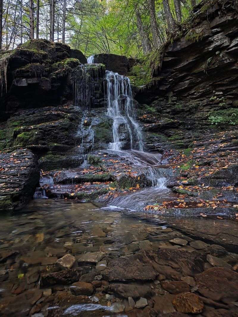
Sixty miles of yellow blazes cross some of the wildest terrain in the state.
The Loyalsock Trail runs from near Montoursville to World’s End State Park territory, threading through Loyalsock State Forest in Sullivan and Lycoming counties.
Waterfalls show up constantly, especially around Dutter’s Run and the Ketchum Run Gorge, where the path drops through a narrow slot of rock and water. Side loops add even more falls for anyone with time.
Backpackers commonly plan four to six days, and the trail rewards patience more than speed. Rocky footing, stream crossings, and sudden climbs keep the mileage honest.
The yellow disc blazes with red LT lettering date back decades and have guided generations of hikers. Spring offers the strongest water flow, while late September delivers cooler nights and fewer bugs.
Access points dot Route 87 and Route 154, with a popular eastern terminus near Laporte, Pennsylvania. Pack a real map for the Loyalsock Trail, because cell signal in those hollows is mostly a rumor.
5. Golden Eagle Trail, Tiadaghton State Forest
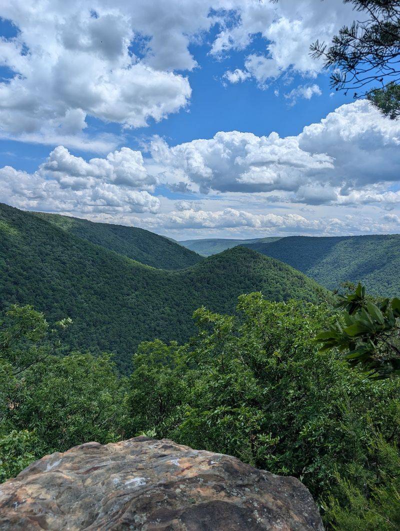
Nine miles that punch far above their weight, and the views prove it quickly.
The Golden Eagle Trail loops through the Wolf Run Wild Area in Tiadaghton State Forest, and many hikers call it the finest day hike in Pennsylvania.
Climbing begins almost immediately, gaining serious elevation before delivering Raven’s Horn, a rocky perch above the Pine Creek valley. Another overlook appears later, looking out toward Bonnell Run.
Plan on five to seven hours if you like stopping, snacking, and staring. The loop crosses Bonnell Run several times, so waterproof footwear or a willingness to get damp helps.
Wildlife sightings include black bears, turkeys, and the occasional soaring raptor that inspired the name. Autumn is spectacular, though a clear winter day gives the widest views once leaves are down.
Parking sits along Route 414 between Waterville and Cammal, Pennsylvania, right by Bonnell Run. Nine miles on the Golden Eagle Trail will humble your legs and reset your mood at the same time.
6. Quehanna Trail, Quehanna Wild Area
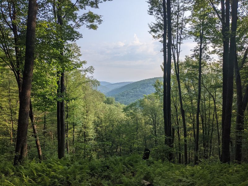
Elk bugling in September makes this loop unlike anything else east of the Rockies.
The Quehanna Trail forms a roughly seventy three mile circuit through the Quehanna Wild Area, crossing Moshannon and Elk State Forests in central Pennsylvania.
Openings and barrens break up the forest, giving unusual sightlines across scrubby plateau country. Beaver ponds, blueberry patches, and quiet bog edges show up where you least expect them.
Most backpackers take five to seven days for the full loop, though shorter cross connector routes create tidy weekend options.
Mosquito Creek Bridge remains closed after flooding; check current guidance before hiking.
The area carries an odd history, once used for jet engine and nuclear research before being returned to public wildland. That past is nearly invisible now under decades of regrowth.
Elk country sits just north, and fall rut season brings the loudest soundtrack of the year.
Trailhead access is common near Parker Dam State Park outside Penfield, Pennsylvania, a practical launch point for the Quehanna Trail.
7. Thunder Swamp Trail, Delaware State Forest
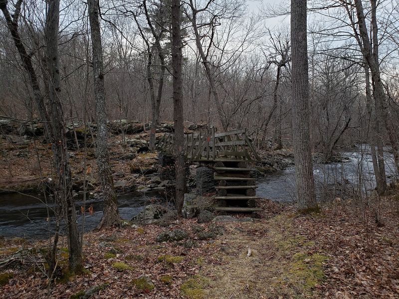
Flat, wet, and wonderfully strange, this Pocono route breaks every mountain trail habit.
The Thunder Swamp Trail system covers around twenty six miles of interconnected paths in Delaware State Forest, Pike County, eastern Pennsylvania.
Boggy meadows, glacial ponds, and rhododendron tunnels replace the usual ridge climbs. Bridges and puncheon carry you over the soggiest stretches, though spring hiking still means muddy boots.
The main loop runs about twenty six miles, with side trails letting you build shorter days. Beaver activity constantly reshapes the wetlands, so expect flooded sections after busy dam building seasons.
Birdwatchers do well here, with warblers, herons, and woodpeckers working the swamp edges. Blueberries ripen in July, and the bogs turn deep red in October.
Bug season peaks in late spring, making autumn the more comfortable choice for most people.
Trailheads sit along Route 402 near Dingmans Ferry, Pennsylvania, an easy detour for anyone heading toward the Delaware Water Gap.
Quiet is the real draw on the Thunder Swamp Trail, since most Pocono visitors never leave the resort areas.
8. Chuck Keiper Trail, Sproul State Forest
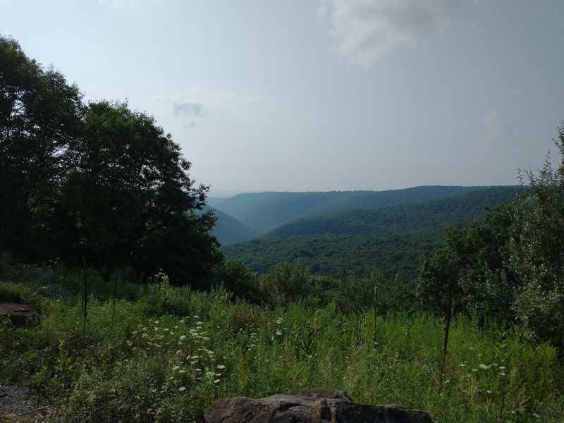
Solitude comes standard on a loop where seeing another person counts as news.
The Chuck Keiper Trail winds about fifty miles through Sproul State Forest in Clinton County, one of the least populated corners of Pennsylvania.
Two connected loops make up the system, letting hikers choose an eastern or western half.
Vistas open above Yost Run and the Burns Run Wild Area, looking across ridges with no roads or rooftops in sight.
Named for a respected state game protector, the route honors someone who spent his career in these woods. Wildlife remains the main population here, including bears, bobcats, and plenty of grouse.
Terrain rolls between plateau tops and steep hollow bottoms, with orange blazes marking the path. Water sources are reliable most of the year, though a filter is essential.
Dark skies overhead rank among the best in the eastern states, and Cherry Springs sits within driving range.
Access is off Route 144 north of Snow Shoe, Pennsylvania, where the Chuck Keiper Trail begins its long quiet arc.
9. Pinchot Trail, Pinchot State Forest
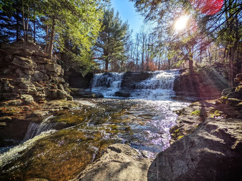
Rocky, high, and closer to cities than you would guess from the emptiness.
The Pinchot Trail loops roughly twenty three miles through the Thornhurst Tract of Pinchot State Forest in Lackawanna County, northeastern Pennsylvania.
Elevation hovers around two thousand feet, keeping summer temperatures pleasant when the valleys turn sticky. Pitch pine, scrub oak, and low blueberry bushes give the plateau a rugged, open character.
Northern and southern loops split the mileage, so beginners can test a shorter overnight before committing. Choke Creek Falls makes a fine destination on its own, with wide ledges and easy water access.
Named for Gifford Pinchot, the forester and governor who shaped conservation in this state, the trail carries a fitting legacy. Rocks dominate the footing, so sturdy boots earn their keep.
Snow lingers here longer than in surrounding lowlands, creating solid winter conditions for snowshoeing.
Main parking sits along Bear Lake Road near Thornhurst, Pennsylvania, about forty minutes from Scranton.
Weekend backpackers looking for a first real trip could hardly pick better than the Pinchot Trail.
10. Lost Turkey Trail, Gallitzin State Forest
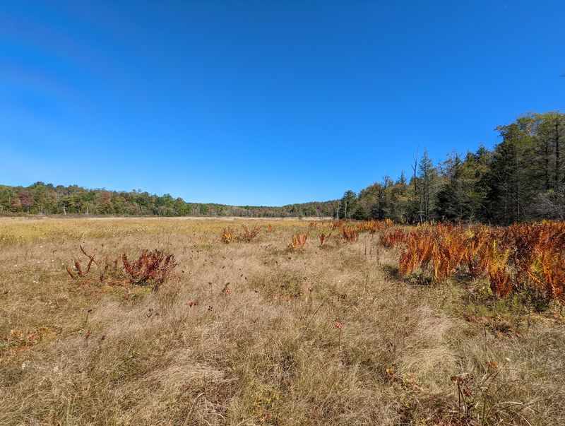
Playfully named by its Youth Conservation Corps trailblazers, the story is better than the name suggests.
The Lost Turkey Trail runs about twenty six miles point to point through Gallitzin State Forest, game lands, private land, and Blue Knob State Park in three counties.
Elevation swings are constant, crossing high ridges and dropping into hollows filled with hemlock and rushing water. Blue Knob itself ranks among the tallest peaks in the state.
Two or three days works for most backpackers, and a car shuttle sorts out the point to point logistics. Overnight camping is permitted only on state forest land.
Wildflowers explode in May, while October paints the ridgelines in orange and gold. Snow can arrive early at these elevations, so check conditions before late season trips.
Northeastern terminus sits at Blue Knob State Park, while southwestern terminus lies near Babcock Picnic Area on Route 56.
Fewer boots pass through here than on the state’s headline routes, which is precisely why the Lost Turkey Trail deserves a spot on your calendar.