
This Michigan Hike Ends At A Bluff So High The Lake Below Looks Painted
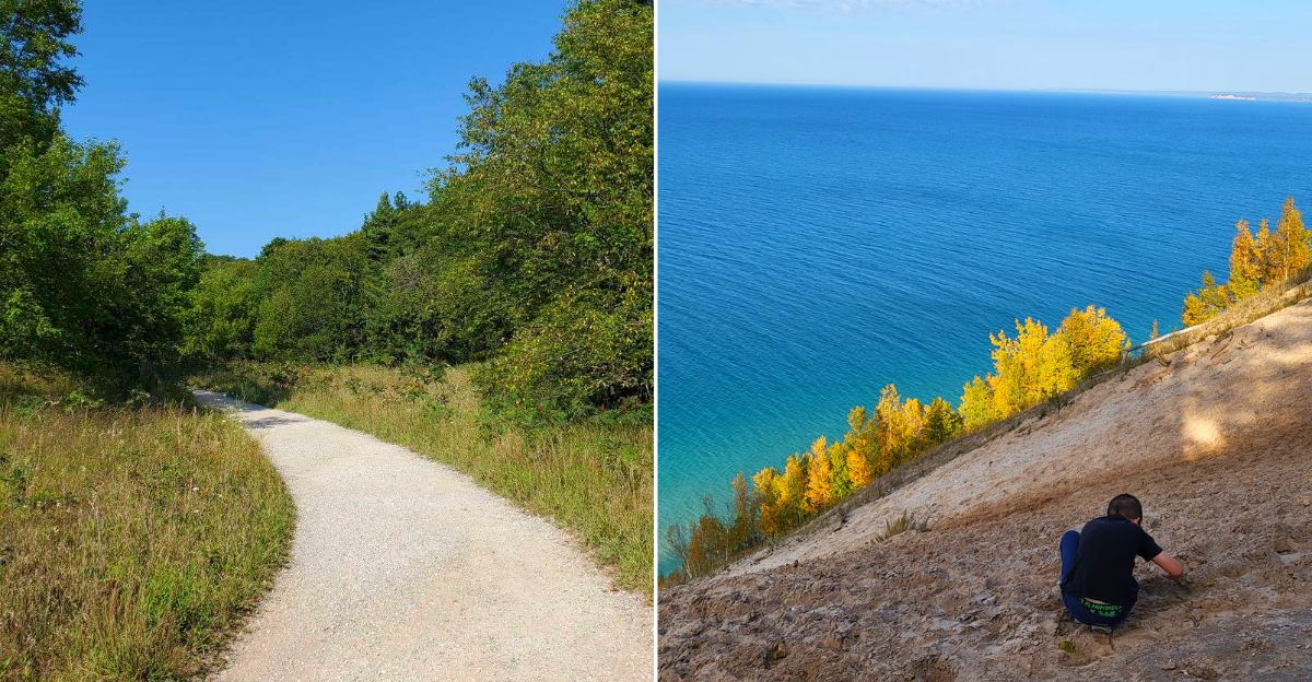
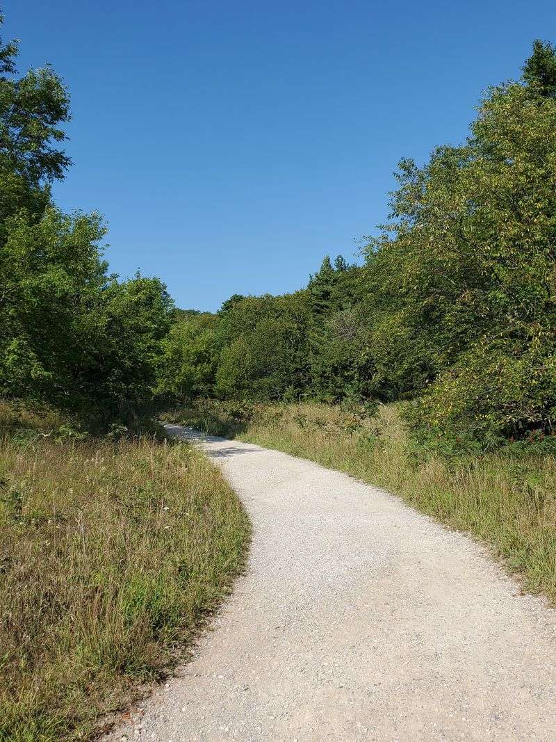
Trees press overhead at first. Beech and birch, the air underneath smelling of damp bark and pine needles.
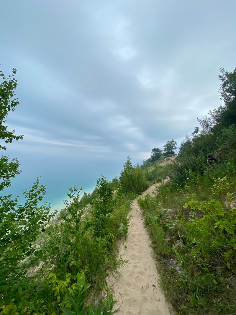
Then the canopy opens and the trail drops you at the edge of a bluff that seems impossible.
A hundred feet straight down, the lake stretches flat and bright, and two islands float on the horizon like something from a painting you would not believe. I have hiked trails with bigger reputations and smaller views.
This one asks for less than two miles and gives back a panorama that made me stand still for ten minutes without checking my phone. Wild blueberries line the path in August.
The wind off the bluff is cool enough to make you forget it is summer. No handrails, no signs.
Just sand, sky, and water far below. Standing on a bluff in Michigan, with the lake so far down it looks painted, you will think about it for days.
Choose The Route That Fits
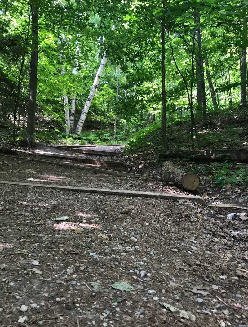
A wooden trail map near the parking area offers one useful choice: quick reward or full loop. The direct trip to the Lookout is about 1.2 miles round trip, fitting visitors with limited time.
Expect a steady climb through forest before Lake Michigan suddenly appears beyond the sand.
For more variety, continue around the roughly 2.6-mile loop, sometimes listed as 2.7 miles. That option adds hills, sandy stretches, meadow scenery, and a return section along Basch Road.
Moderate sounds friendly, yet loose footing and repeated elevation changes can tire casual walkers. Photograph the map or carry an offline version, because knowing your chosen route prevents an accidental extension when your legs already feel properly introduced to northern Michigan terrain today.
Port Oneida Road Gives Way To Pyramid Point
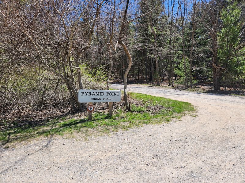
Pyramid Point Trail begins in the Port Oneida area of Sleeping Bear Dunes National Lakeshore in Michigan, north of Glen Arbor. From M-22, turn north onto Port Oneida Road and follow it into the historic rural district toward Basch Road.
Turn onto Basch Road and continue toward the marked Pyramid Point Trailhead. The final stretch winds through fields and forest before reaching the small trailhead tucked away from M-22.
Park at the designated trailhead lot and begin the hike from there. The Lake Michigan overlook is about 0.6 miles from the trailhead, while the full loop continues for roughly 2.7 miles and eventually follows a short section of Basch Road.
Wear Shoes That Handle Sand
Sand has a sneaky talent for turning an ordinary incline into a small fitness test. Sturdy hiking shoes with reliable tread help on steep hills, exposed roots, wooden step sections, and loose dune ground.
Smooth soles may slide, while open sandals invite grit to travel home between your toes.
Take shorter steps on climbs and keep your pace easy enough for conversation. Trekking poles are optional, but they can add balance if sandy descents bother your knees.
After rain, watch for slippery soil beneath leaves in the beech-maple forest. The overlook may distract everyone, so save the dramatic gazing until both feet are planted.
Good footwear is not glamorous, although neither is performing an unexpected seated slide downhill here.
Carry Water From The Start
The vault toilet at the trailhead is the last bit of plumbing you will meet on this route. Use it before starting, especially with children, and remember that no drinking water is available there.
Pack enough for every hiker and pet, even when the mileage looks modest.
Warm weather, loose sand, and climbing can create thirst faster than the map suggests. A reusable bottle tucked where you can reach it encourages regular sips instead of one giant drink at the bluff.
Bring a small snack if the loop is planned, then carry wrappers and leftovers back out. There are no trash shortcuts in a protected landscape.
Hydration turns huffing uphill from grim work into a manageable, surprisingly cheerful rhythm.
Visit When The Trail Feels Quiet
Morning light gives the lake a softer shine, while late afternoon often brings rich color and longer shadows. Both periods can feel calmer than midday during peak summer.
Arrive early enough to hear leaves moving before the parking area and overlook grow busier.
Late spring and fall usually offer pleasant hiking with fewer visitors than summer. Early October can set maples glowing red and beeches yellow, turning the forest into half the attraction.
November drops the leafy curtain and opens longer views from ridges. Whatever the month, check sunset time and weather before choosing a late start.
Quiet timing improves photographs, but it also leaves room to stand still and notice how enormous Lake Michigan really feels from above there.
Pack A Layer For Bluff Wind
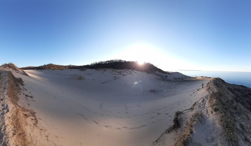
Wind often reaches the exposed bluff before it bothers anyone in the sheltered woods. Carry a light extra layer, even on a comfortable day, because the temperature can feel different beside open Lake Michigan.
A hat with a secure fit beats chasing one toward a fragile slope.
Forecasts for nearby towns may not describe conditions at a high perched dune perfectly. Look for wind, rain, heat, and storm chances before leaving.
Summer sun reaches the overlook directly, so sunscreen and sunglasses earn their backpack space. In colder months, traction needs and road access require extra attention.
I like clothing that zips away easily, since the route shifts from shaded forest to airy bluff with almost comic speed at the top.
Never Descend The Bluff Face
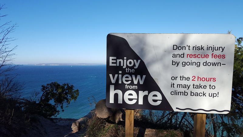
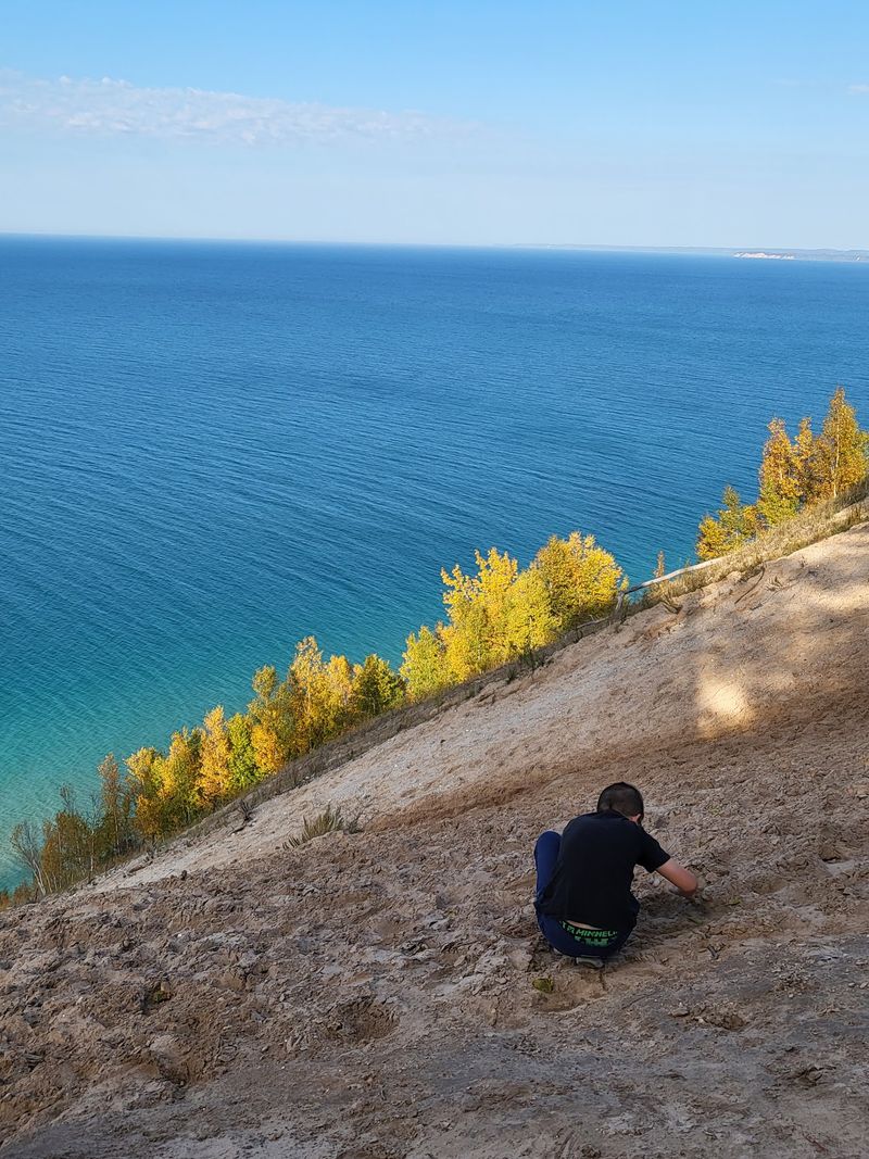
From the edge, the water looks close enough to reach quickly, which is the bluff’s most dangerous trick. The face drops roughly 260 feet almost directly toward Lake Michigan.
Do not descend it, because loose sand, slippery clay below, and the exhausting return climb have led to rescues.
Stay on established viewing areas and keep children nearby rather than letting excitement choose their footing. Pets belong on leashes no longer than six feet throughout the trail.
Back away from unstable edges when taking photographs, and never sacrifice balance for a wider frame. The best souvenir is an image captured from firm ground.
Respecting the closure also protects dune plants whose roots help hold this magnificent, shifting bluff together naturally.
Look Beyond The Painted Water
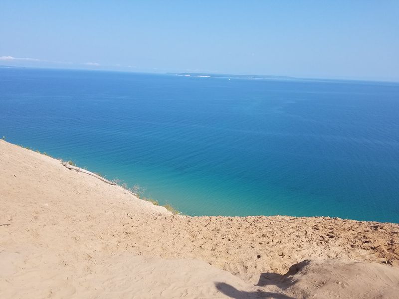
Blue refuses to remain one color at Pyramid Point. Shallow shoals and changing depths help paint Lake Michigan in bands of turquoise, green, and deep blue below the bluff.
On clear days, North and South Manitou Islands anchor the horizon like quiet punctuation.
Look also for the North Manitou Shoal Light, commonly called the Crib, which marks a hazardous passage. Great Lakes freighters sometimes cross the wider scene, appearing toy-sized from about 260 feet above the water.
Binoculars add detail, though naked eyes best catch the broad color shifts. Pause before lifting a camera.
The scale arrives slowly, and that delayed realization is part of why the overlook feels less like scenery and more like a geography lesson glowing below.
Notice The Landscape’s Deeper Story
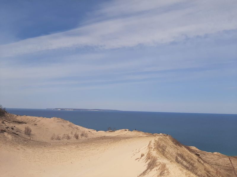
Before the lake reveal, the trail moves through an old farm field, beech-maple forest, and sandy dune terrain. Those quick changes make a short hike feel unusually layered.
Notice how light spreads across the meadow, then narrows under leaves before bursting open at the bluff.
Pyramid Point lies within the Port Oneida Rural Historic District, where preserved nineteenth-century farmhouses and barns recall early agricultural life. Long before those farms, Anishinaabe peoples knew these lands as sacred places and seasonal hunting grounds.
The point itself rests on glacial moraine shaped over thousands of years by ice, wind, and waves. Walk gently and leave artifacts untouched.
Here, scenery is not empty wilderness but a record written in soil, work, memory, and sand.
Match Your Visit To The Season
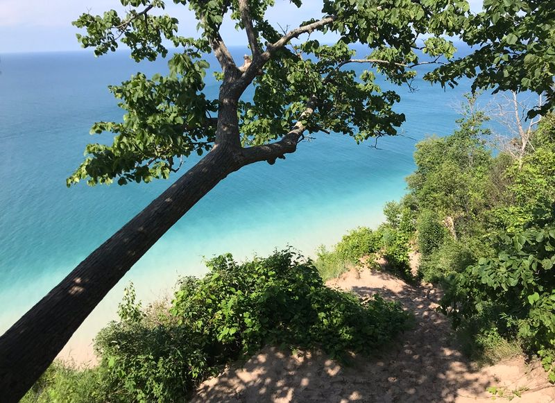
Wildflowers begin the yearly costume change in spring, scattering color through open meadow sections. Summer follows with full green leaves and brighter lake light, plus the greatest chance of company.
Bug spray can be useful in warmer periods, particularly around shaded vegetation.
Autumn earns attention for vivid maples and golden beeches, with early October often delivering the boldest display. Once leaves fall in November, ridge views stretch farther through bare branches.
Winter changes the trail into a snowshoeing route, but Basch Road is not plowed. That access detail matters more than any postcard promise.
Check park conditions, bring season-ready gear, and be willing to turn around. Pyramid Point rewards flexible visitors who let weather set the pace safely each season.
Protect What Makes The View Special
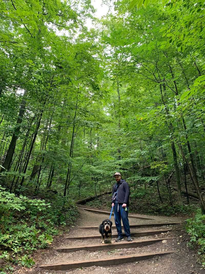
A six-foot leash is not merely polite here; it is the rule for pets on the trail. Keep dogs controlled near other hikers, wildlife, sandy slopes, and the bluff edge.
Pack water for them too, because the trailhead provides none and lake water lies dangerously far below.
Everyone can help preserve Pyramid Point by staying on the path, carrying out waste, and leaving plants undisturbed. Sandy shortcuts loosen fragile ground and widen erosion scars faster than they may appear.
Share the overlook without blocking narrow passages, and keep music quiet enough for birds and wind to remain part of the visit. Thoughtful habits seem small, but together they protect both safety and the painted view that brought everyone here today.