
10 Colorado Scenic Drives Locals Avoid After Dark During Fall
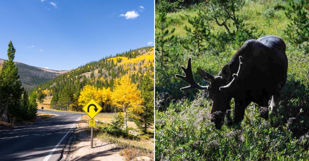
Daylight can make a mountain road look like a postcard. Darkness can make the very same pavement feel like a test of nerve.
Fall adds another layer, with earlier sunsets, colder air, wandering wildlife, and weather that can turn without much warning. Along some of Colorado’s scenic routes, the smartest plan is simply to enjoy the drama before the light disappears.
That is not being timid. It is knowing when the scenery stops helping and the road starts demanding your full attention.
Sharp curves are easier to read when you can actually see them, and long empty stretches feel very different after sunset. By autumn, Colorado drivers also know that an innocent-looking cloud can mean snow higher up.
So give yourself time, watch the clock, and resist squeezing in one last overlook. The best fall drive is the one you finish while the mountains are still showing off for you.
1. Flat Tops Trail Scenic Byway, Yampa to Meeker
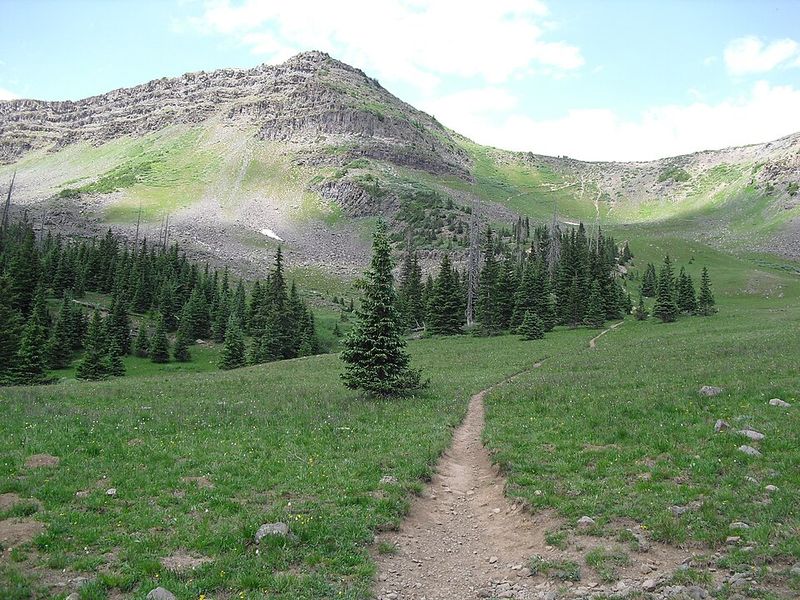
A road that crosses the Flat Tops does not need darkness to make it dramatic. Flat Tops Trail Scenic Byway runs between Yampa and Meeker and passes through high country tied to the Flat Tops Wilderness, one of the largest wilderness areas in Colorado.
The route includes paved and unpaved sections, which is one reason locals get picky about timing in fall. Daylight helps drivers read changing surfaces, spot cattle guards, and notice rough patches before coffee becomes a dashboard event.
The byway is known for broad meadows, forested slopes, and views of the table-like landforms that give the Flat Tops their name.
After dark, the practical issues start adding up. Services are limited, cell coverage can be unreliable, and wildlife is harder to see along open range and forest edges.
Fall also brings shorter days and quick weather changes at higher elevations, even when nearby towns feel calm.
Flat Tops Trail Scenic Byway makes far more sense as a slow daytime drive with extra fuel, water, and patience. Save the night driving for roads with lights, shoulders, and fewer surprises pretending to be scenery.
2. Cache la Poudre-North Park Scenic Byway, Fort Collins to Walden
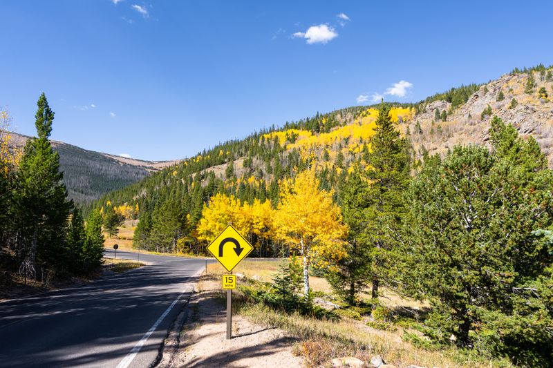
The first clue is the river. Cache la Poudre-North Park Scenic Byway follows Colorado Highway 14 west from Fort Collins through Poudre Canyon, tracking the Cache la Poudre River before climbing toward Cameron Pass and Walden.
That canyon drive is impressive in daylight because the road squeezes between rock walls, river bends, and forested slopes. The Cache la Poudre is Colorado’s only nationally designated Wild and Scenic River, a fact that gives the route more than postcard value.
It is a living, twisting lesson in why roads and rivers have complicated relationships.
Fall adds color, but it also shortens the safe viewing window. Curves come quickly, shoulders can be narrow, and deer or elk may appear near the roadway.
Higher up, Cameron Pass reaches more than 10,000 feet, so cold conditions can show up before a lower-elevation driver feels mentally prepared.
Cache la Poudre-North Park Scenic Byway is not a route to rush after dinner in Fort Collins. Plan it with daylight to spare, check road conditions, and give yourself time to stop only where pullouts make sense.
3. Pawnee Pioneer Trails Scenic Byway, Ault to Sterling
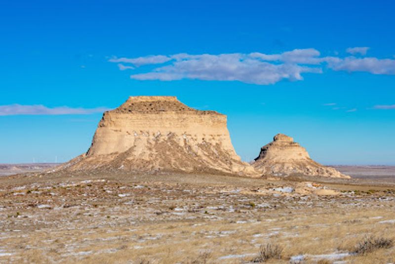
Not every tricky fall drive in Colorado comes with cliff walls and alpine switchbacks. Pawnee Pioneer Trails Scenic Byway crosses northeastern prairie country from the Ault area toward Sterling, where distance itself becomes the main character.
The byway connects open grasslands, farming communities, and access points near Pawnee National Grassland. The Pawnee Buttes, two landmark formations rising from the plains, are among the route’s most recognizable features.
In daylight, the wide views help drivers understand where they are. After dark, the same openness can feel strangely blank, like someone erased the map but left the steering wheel.
Locals treat this route with respect in fall because rural roads can have limited lighting, long gaps between services, and wildlife moving near fields and grassland edges. Weather is also less theatrical here than in the mountains, but wind, dust, or sudden cold can still make a late drive unpleasant.
Pawnee Pioneer Trails Scenic Byway rewards people who enjoy quiet landscapes and history without needing constant entertainment. Go prepared, keep fuel in mind, and use daylight for the prairie scale that makes this corner of Colorado so different.
4. Colorado River Headwaters Scenic Byway, Grand Lake to State Bridge
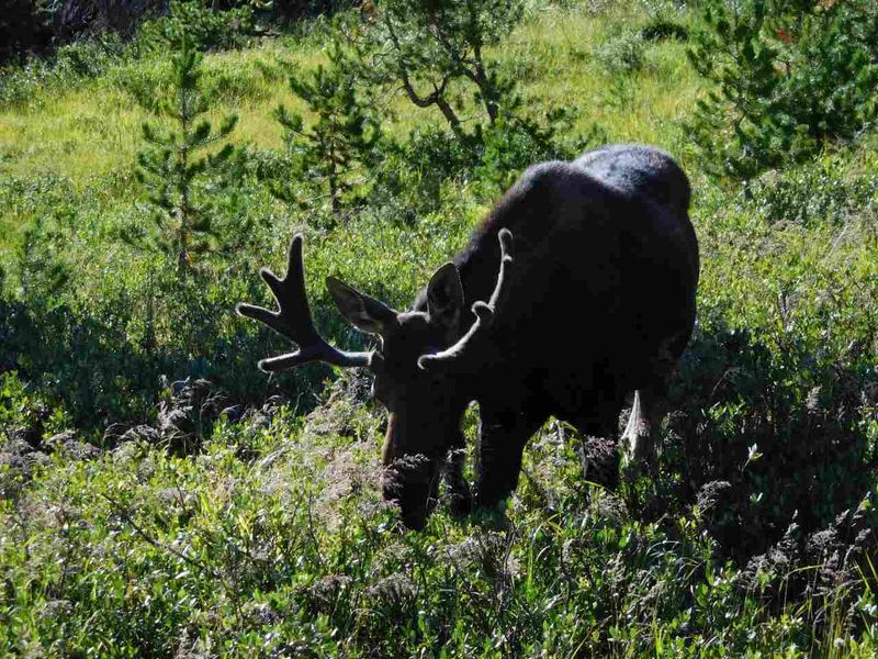
Here is a route with a famous river still acting young. Colorado River Headwaters Scenic Byway begins near Grand Lake, close to the river’s source in Rocky Mountain National Park, then follows the Colorado River corridor toward State Bridge.
The drive passes communities and landscapes tied to the upper Colorado River, including areas around Hot Sulphur Springs, Kremmling, and the Gore Canyon region. Daylight matters because the road alternates between small-town stretches, canyon scenery, ranch land, and curves where attention beats daydreaming every time.
Fall can make the cottonwoods along the river stand out, but night removes the very reason many people choose the drive. It also makes wildlife harder to see, especially near water and open valleys.
In mountain valleys, temperatures can drop quickly after sunset, and shaded road sections may behave differently from sunny ones.
Colorado River Headwaters Scenic Byway is best handled as a daytime river-following trip with flexible timing. Check conditions before heading out, especially if the plan includes higher nearby passes.
The river may be patient, but drivers do not need to prove anything after dark.
5. Unaweep-Tabeguache Scenic Byway, Whitewater to Placerville
Unaweep Canyon has a neat geographic trick: water drains out of it in two directions. Unaweep-Tabeguache Scenic Byway uses that strange and memorable landscape as it runs from Whitewater near Grand Junction toward Placerville in western Colorado.
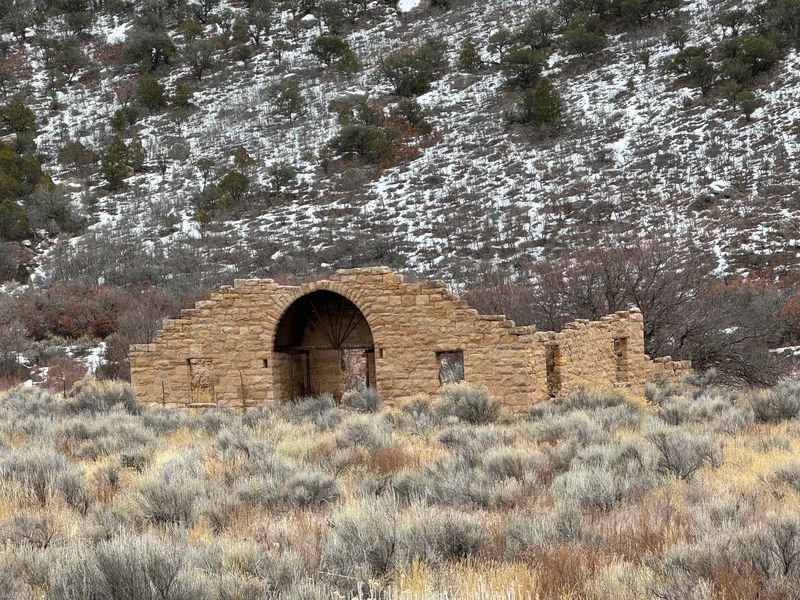
The route follows Colorado Highway 141 through red rock canyons, ranch country, and the Dolores River corridor. It passes near the historic Driggs Mansion site, a roofless early 1900s stone structure visible from the road on private land, not a place to wander through.
That kind of roadside curiosity is much easier to understand when the sun is up.
After dark, the byway’s remoteness becomes less poetic and more practical. Services are spread out, curves can arrive without much warning, and canyon walls reduce the sense of distance ahead.
Fall weather may be comfortable in the lower desert stretches, yet conditions can still change along the longer route.
Unaweep-Tabeguache Scenic Byway suits unhurried daylight driving, especially for travelers who like geology served without a lecture hall. Bring a full tank, respect private property, and let the canyon do its odd little drainage trick in plain view.
6. Silver Thread Scenic and Historic Byway, South Fork to Blue Mesa Reservoir
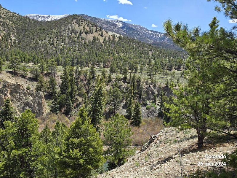
Silver Thread Scenic and Historic Byway sounds delicate, but the road has mountain grit. It runs through the San Juan region from South Fork through Creede and Lake City, continuing toward the Blue Mesa Reservoir area.
Creede gives the route a strong historic anchor. The town grew from a silver mining boom in the late 1800s, and the surrounding cliffs make its setting unusually tight and memorable.
Farther along, the byway reaches high terrain, including Slumgullion Pass, which rises above 11,000 feet and is known for steep grades nearby.
That combination explains why locals avoid casual fall night drives here. Darkness hides curves, rockfall areas, wildlife, and the first hints of icy pavement.
Lake City and Creede are small mountain communities, so drivers should not count on big-city services at odd hours. A missed turn feels less amusing when the mountains are doing their best impression of a locked filing cabinet.
Silver Thread Scenic and Historic Byway is a daylight route for people who want mining history, rugged roads, and high-country color in one trip. Check seasonal and weather conditions before going, then leave room in the schedule for slow sections.
7. Los Caminos Antiguos Scenic and Historic Byway, Alamosa to Colorado-New Mexico Border
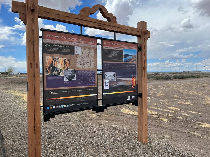
The San Luis Valley does scale in a way that makes a car feel very small. Los Caminos Antiguos Scenic and Historic Byway runs from the Alamosa area through southern Colorado toward the Colorado-New Mexico border, linking some of the state’s oldest cultural landscapes.
The route includes sites associated with Hispano settlement, rail history, and the broad valley between the San Juan and Sangre de Cristo ranges. Alamosa sits near Great Sand Dunes National Park and Preserve, while towns such as San Luis add deep historical context.
San Luis is Colorado’s oldest continuously occupied town, founded in 1851.
After dark, the valley’s long distances and sparse lighting can fool drivers who are used to suburban reference points. Wildlife, farm vehicles, and sudden weather shifts deserve attention, especially in fall when daylight fades early.
Mountain silhouettes are lovely in theory, but they do not help much when you are watching for a turn.
Los Caminos Antiguos Scenic and Historic Byway works best when treated as a daytime cultural route rather than a late-night shortcut. Give the history and the distances both enough room to make sense.
8. Highway of Legends Scenic and Historic Byway, Walsenburg to Trinidad
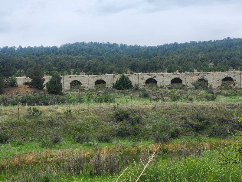
The Spanish Peaks are not shy landmarks. Highway of Legends Scenic and Historic Byway loops through southern Colorado from the Walsenburg area toward Trinidad, using the peaks as a steady visual anchor during daylight.
The byway travels through places such as La Veta, Cuchara, and Stonewall, with views of the Spanish Peaks, which are National Natural Landmarks. Geologically, the area is known for long wall-like rock formations called dikes that radiate from the peaks.
That detail gives the drive a look unlike many other Colorado mountain routes.
Fall darkness, however, takes away the useful part of the drama. The road includes mountain curves, forested sections, and areas where wildlife may move across the pavement.
Travelers also need to remember that small communities along the route do not operate like service plazas with scenery attached.
Highway of Legends Scenic and Historic Byway deserves a daylight plan, particularly for anyone who wants to understand the landforms instead of merely steering through them. Check road and weather conditions, keep the fuel gauge honest, and let the Spanish Peaks remain landmarks rather than shadows.
9. Frontier Pathways Scenic and Historic Byway, Pueblo to Colorado City
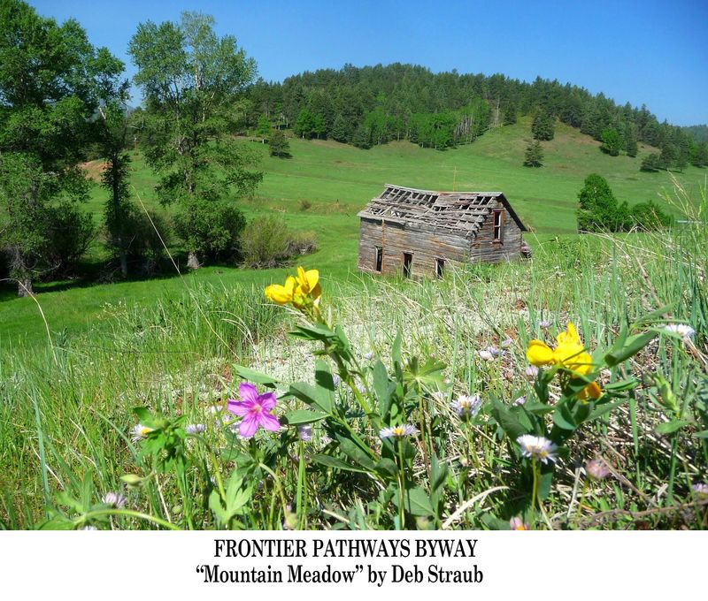
Frontier Pathways Scenic and Historic Byway has a split personality, in the useful travel sense. One section connects Pueblo with the Wet Mountains and Westcliffe area, while another reaches toward Colorado City, giving drivers a mix of plains, foothills, and mountain-edge scenery.
The byway is tied to the historic movement between Pueblo and the mountain communities west of the city. Westcliffe sits in the Wet Mountain Valley, with the Sangre de Cristo Range rising to the west.
In daylight, that contrast between open valley and sharp mountains is the whole point of taking the route slowly.
Night driving changes the math. The road can move from populated areas into darker rural stretches quickly, and fall brings earlier dusk along with colder air at elevation.
Deer are a real concern on many Colorado roads, and the byway’s mix of foothill and valley habitat calls for steady attention.
Frontier Pathways Scenic and Historic Byway is a sensible daytime choice for travelers based in Pueblo or passing through southern Colorado. Keep the plan realistic, avoid treating the route like a shortcut, and save the mountain silhouettes for hours when they can be seen.
10. Gold Belt Tour Scenic and Historic Byway, Florissant to Canon City and Florence
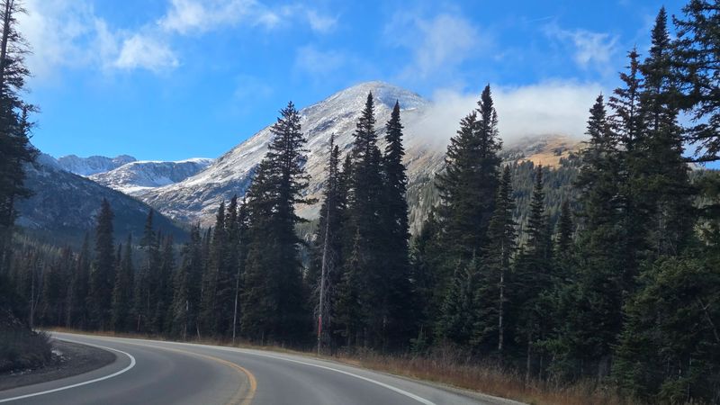
Gold Belt Tour Scenic and Historic Byway is where history and back roads start comparing notes. The route links the Florissant area with mining districts around Cripple Creek and Victor, then continues toward Canon City and Florence through several route options.
Its strongest identity comes from the late 1800s gold mining history of the Cripple Creek district. The byway also connects with Florissant Fossil Beds National Monument, where enormous petrified redwood stumps and insect fossils record a much older Colorado.
That is quite a timeline for one drive, and none of it improves when headlights are doing all the work.
Some segments, including Shelf Road and Phantom Canyon Road, are known for narrow passages, unpaved surfaces, and backcountry driving conditions. Those roads may not be suitable for every vehicle or driver, especially after weather changes.
In fall, daylight is the cheapest safety feature you can bring.
Gold Belt Tour Scenic and Historic Byway calls for route homework before leaving, not heroic improvisation after dark. Check official road status, choose the segment that matches your vehicle, and let the old mining country keep its rough edges visible.