
Michigan’s Tick Map Highlights The Counties Around These 12 Wooded Destinations
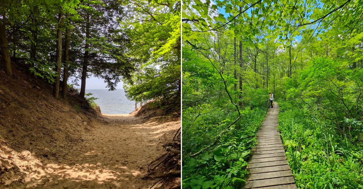
The tall grass in Michigan’s woods holds something you need to know about. Ticks have become a serious concern across the state, and the tick population has grown significantly in recent years.
The state now publishes a detailed map showing which counties carry the highest risk. I checked that map before my last trip and noticed that some of my favorite hiking destinations fall inside the flagged zones. That does not mean you should avoid them.
It means you should prepare. I treat my clothes with permethrin before every hike. I carry a tick removal tool in my pack. I do a full body check the moment I get back to the car.
These twelve destinations offer incredible trails and unforgettable wildlife encounters.
They also sit in counties where black-legged ticks are most active. Plan wisely and enjoy the woods with your eyes wide open.
1. Warren Woods State Park – Berrien County
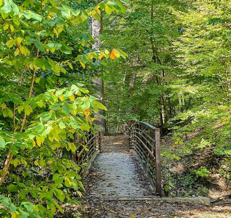
A forest can feel like a cathedral, and Warren Woods earns that comparison without trying. Its rare old-growth beech-maple stand includes towering trees and carries National Natural Landmark status, thanks partly to Edward Kirk Warren’s early preservation work.
The 311-acre park has about 3.5 miles of trails, including a route across the Galien River. Pileated woodpeckers sometimes add their wild, laughing calls to an otherwise hushed walk.
Berrien County sits in a part of southwest Michigan associated with higher tick concern, so preparation belongs beside the water bottle. Use EPA-registered repellent, wear long pants and light-colored socks, then check behind knees, around the waist, and along the hairline afterward.
Staying near trail centers reduces contact with brush while still letting the immense trunks deliver the park’s quiet magic at an unhurried pace.
2. Van Buren State Park – Van Buren County
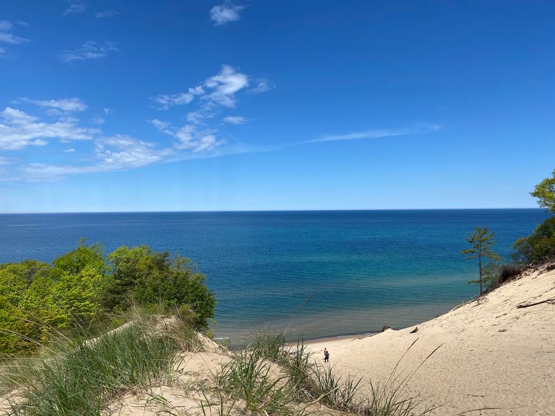
Lake Michigan announces itself here before it appears, sending a low rumble through the trees. Van Buren State Park pairs a broad sandy beach with wooded dune paths, giving families an easy way to trade campground chatter for shoreline wind.
A paved spur trail runs roughly four miles toward South Haven, making a bicycle ride into town possible without following busy roads. The park also supports swimming, fishing, camping, and sunset watching, though changing lake conditions deserve respect.
Wooded edges and grassy ground can shelter ticks even when the beach looks wonderfully bare. Apply repellent before leaving the campsite, avoid brushing against tall plants, and keep children near the middle of paths.
After hiking, place trail clothes in a hot dryer when possible and inspect pets carefully. The lake may steal the attention, but a calm tick check is the smarter final ritual.
3. Saugatuck Dunes State Park – Allegan County
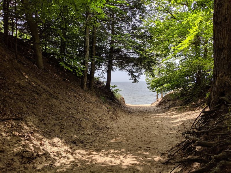
Saugatuck Dunes makes visitors earn the beach, which somehow improves the first glimpse of blue water. Wooded dunes rise as high as 200 feet, while roughly 2.5 miles of undeveloped shoreline keep the setting pleasantly free of boardwalk shops and traffic.
About 13 miles of trails cross sandy hills, pine stands, and hardwood forest. The Beach Trail offers the shortest route to Lake Michigan, but even that walk includes loose sand that can tire younger hikers.
Allegan County’s leafy habitat calls for routine tick precautions, especially from late spring through midsummer. Closed shoes and pants treated with permethrin provide useful protection, but permethrin should follow label directions and never be applied directly to skin.
Pause before climbing into the car for a quick clothing check. Sand in the shoes is expected here; an unnoticed tick should not be.
4. P.J. Hoffmaster State Park – Muskegon County
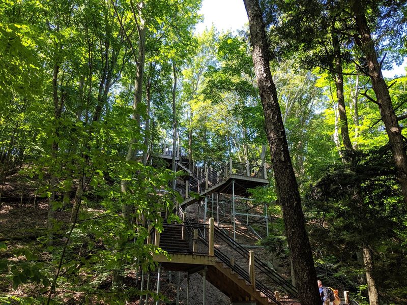
The famous stairway at P.J. Hoffmaster has a sneaky sense of humor: every landing seems to promise the top.
Around 193 steps lead toward an observation deck above Lake Michigan, revealing a layered view of water, forest, and enormous freshwater dunes.
Ten miles of trails spread across the park’s roughly 1,200 acres. Before walking them, stop at the Gillette Sand Dune Visitor Center for exhibits explaining how wind, plants, and water continue shaping this young landscape.
Muskegon County’s wooded dune country also provides suitable tick habitat. Tuck pants into socks if exploring narrow paths, use an EPA-registered repellent, and resist sitting directly in leaf litter during breaks.
A full check after returning should include the scalp, ears, armpits, and ankles. Save some energy for that task because tired hikers are remarkably skilled at forgetting sensible routines.
5. Pentwater River State Game Area – Oceana County
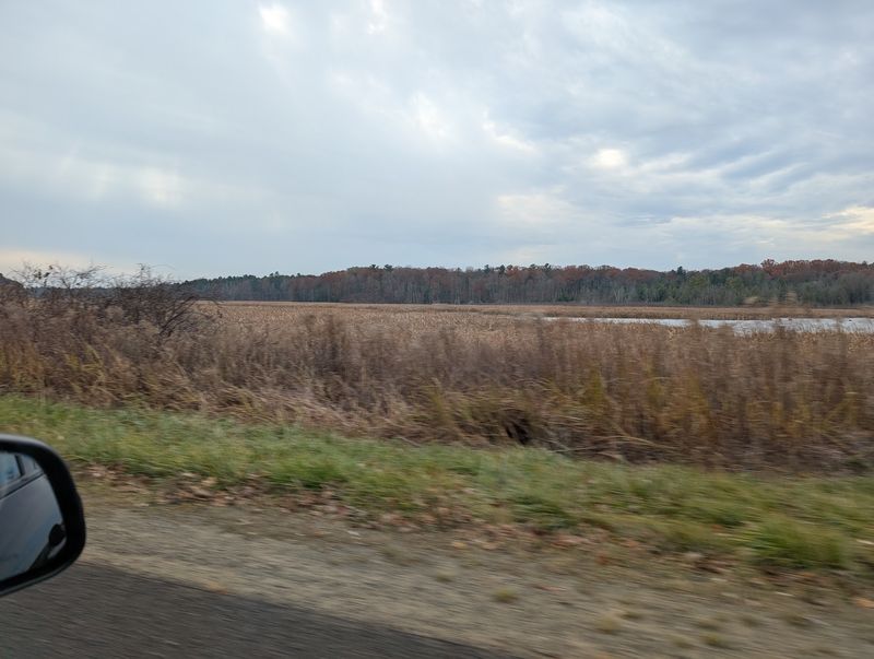
Marsh water, tangled woods, and three meeting rivers give Pentwater River State Game Area a mood far wilder than a polished city park. Its roughly 2,540 acres support deer, wild turkey, grouse, and many wetland birds.
The 500-acre marsh forms the ecological heart of the property, while the historic Charles Mears River Farm Barn recalls earlier human use of the land. Primitive routes invite fishing, hunting, birding, and wildlife watching, but visitors should expect fewer comforts and less signage than at a developed recreation area.
Wet edges and brushy passages demand particular attention during tick season. Carry a map, tell someone the planned route, and wear sturdy footwear with long clothing.
Hunters and anglers should inspect packs, waders, and harvested game before leaving. Check regulations and seasonal closures through the Michigan Department of Natural Resources, since state game areas actively manage both wildlife and public recreation.
6. Ludington State Park – Mason County
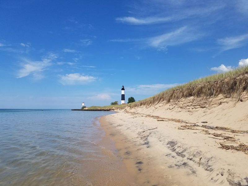
Few parks fit so much Michigan into one visit. Ludington State Park rests between Hamlin Lake and Lake Michigan, combining forested ridges, open dunes, river scenery, and the striped Big Sable Point Lighthouse.
More than 20 miles of marked trails offer routes for different energy levels. The lighthouse stands 112 feet tall, and seasonal tower access rewards climbers with a broad lake view, although schedules and fees should be confirmed before setting out.
Long days here can move from shaded woods to sunny sand, so pack both repellent and sunscreen. Ticks favor vegetation rather than open beach, making checks especially useful after forest walks or time near the Big Sable River.
Examine clothing before entering a tent, inspect pets around collars and toes, and shower soon after hiking. The park encourages lingering, but hitchhiking arachnids do not deserve a ride home.
7. Platte Plains Trail System – Benzie County
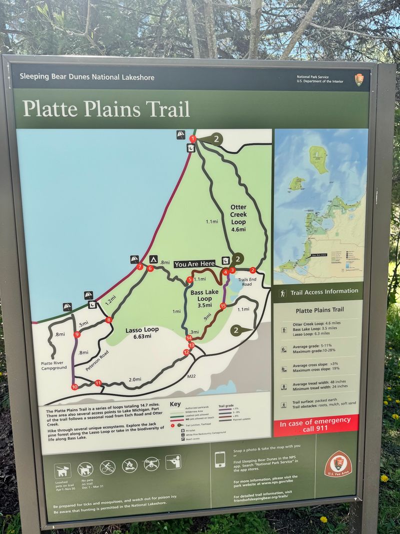
Flat ground is the pleasant surprise at Platte Plains, where Sleeping Bear Dunes does not require climbing a mountain of sand. Nearly 15 miles of connected paths cross pine, aspen, and oak woods before reaching lakes, wetlands, and Lake Michigan access points.
Three principal loops provide useful choices: Otter Creek, Bass Lake, and the longer Lasso Loop. White Pine Campground, the national lakeshore’s backcountry campground, can also be reached from the system, with permits required for overnight stays.
Benzie County lies within western Lower Michigan’s established blacklegged tick range, so treat forest preparation as ordinary trip planning. Download or carry a trail map because intersections can complicate navigation.
Repellent, long clothing, and frequent checks remain the basic trio. Anyone camping should inspect sleeping gear and complete another check the following morning, since tiny nymphs can be difficult to notice outdoors.
8. Alligator Hill Trail – Leelanau County
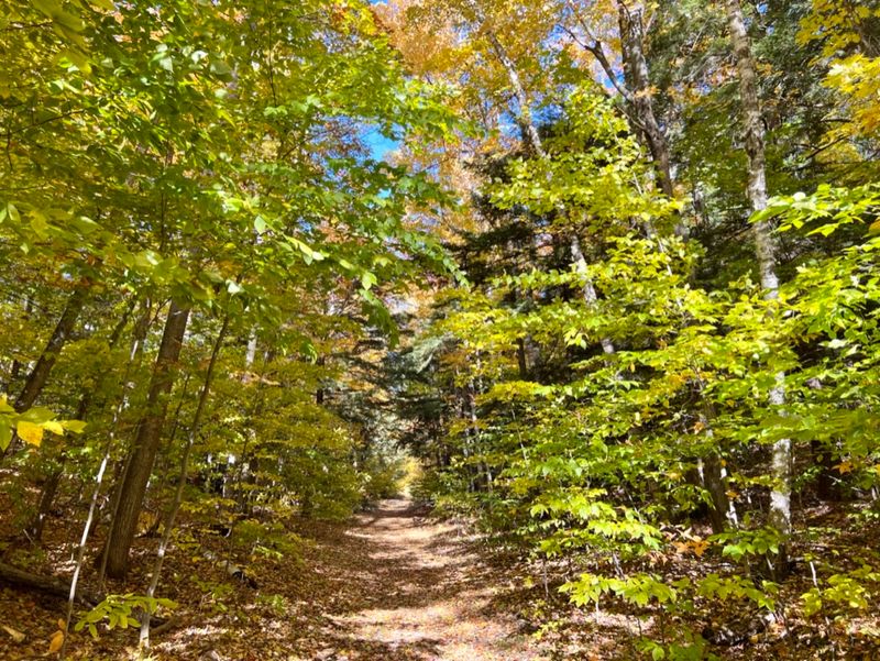
Storm damage became part of the landscape rather than the end of it. Alligator Hill’s wooded ridges were heavily affected by the powerful 2015 windstorm, and today’s trails pass through a forest where mature trees, fallen trunks, and younger growth reveal the recovery in real time.
The main Stocking Road trailhead is near Stocking Road, Empire, MI 49630, at approximately 44.8896, -86.0215.
About nine miles of interconnected routes allow hikers to choose easy, intermediate, or more demanding loops. From the Stocking Road entrance, the walk to Islands Lookout is roughly 1.5 miles and climbs gradually through maple-beech forest.
Clear days can reveal North and South Manitou islands, Sleeping Bear Point, and sometimes freighters moving through the Manitou Passage. Concrete charcoal kilns near the trailhead preserve a remnant of the area’s logging history.
Leelanau County is marked known risk on Michigan’s 2026 Lyme Disease Risk Map.
The broad established routes help reduce contact with brush, so resist the temptation to cut around muddy spots through vegetation. Use repellent and check legs during longer breaks.
Once back at the trailhead, another quick scan before getting into the car is time well spent.
9. Brown Bridge Quiet Area – Grand Traverse County
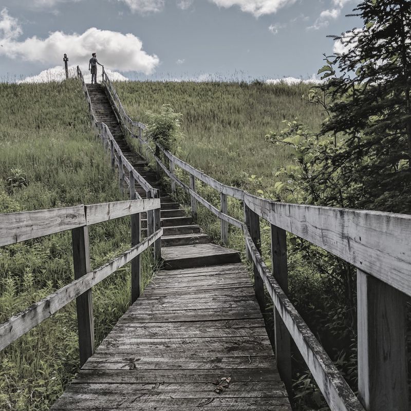
The river tells the main story at Brown Bridge Quiet Area. After Brown Bridge Dam was removed in 2012, the Boardman River returned to a free-flowing channel, creating an unusually clear view of ecological repair in progress.
More than eight miles of trails cross the 1,310-acre preserve’s upland and lowland forests. Bald eagles, herons, river otters, and black bears inhabit the wider area, although quiet observation and generous distance are safer than chasing any photograph.
Lowland vegetation near water can place ankles close to questing ticks, which wait on plants for passing hosts. Choose light-colored clothing, apply repellent, and perform a careful check after leaving the preserve.
Dogs should remain under control and receive veterinarian-approved tick prevention. Trail surfaces can also become muddy, so waterproof shoes help.
Brown Bridge rewards patience, whether watching the current move or spotting a fresh animal track beside it.
10. Yankee Springs Recreation Area – Barry County
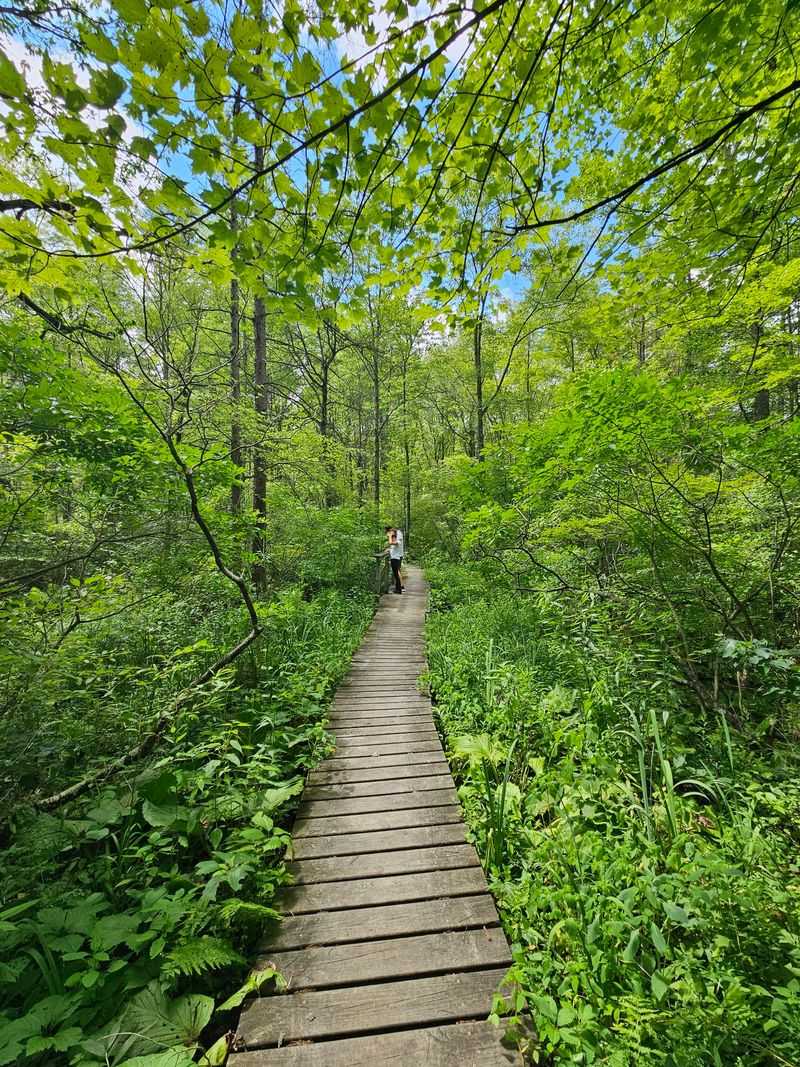
Glacial leftovers give this landscape its wonderfully irregular shape. Yankee Springs Recreation Area begins at 2104 S.
Briggs Road, Middleville, MI 49333, then spreads through lakes, marshes, bogs, hills, campgrounds, and forest east of Gun Lake. Devil’s Soupbowl and Graves Hill Overlook are among the named landmarks, but the larger attraction is simply having so many different environments in one recreation area.
Ten inland lakes support paddling and fishing, while trails serve hikers, mountain bikers, equestrians, and winter users. The modern Gun Lake campground has 200 sites, and more rustic camping is available near Deep Lake.
In 2026, visitors should also be aware of an ongoing phased drawdown project at Hall Lake Dam, including closure of that boating access site.
Barry County is marked as known risk on Michigan’s current Lyme map.
Because some trails are shared, watching for bicycles and horses is as important as watching the vegetation. Walk near the center of the path where possible, use repellent, and inspect socks, waistbands, backpack contact points, and exposed skin afterward.
The network is large enough that a map is worth carrying offline. Accidentally adding two miles is much less charming when those extra miles are through tall grass at dusk.
11. Dr. T.K. Lawless Park – Cass County
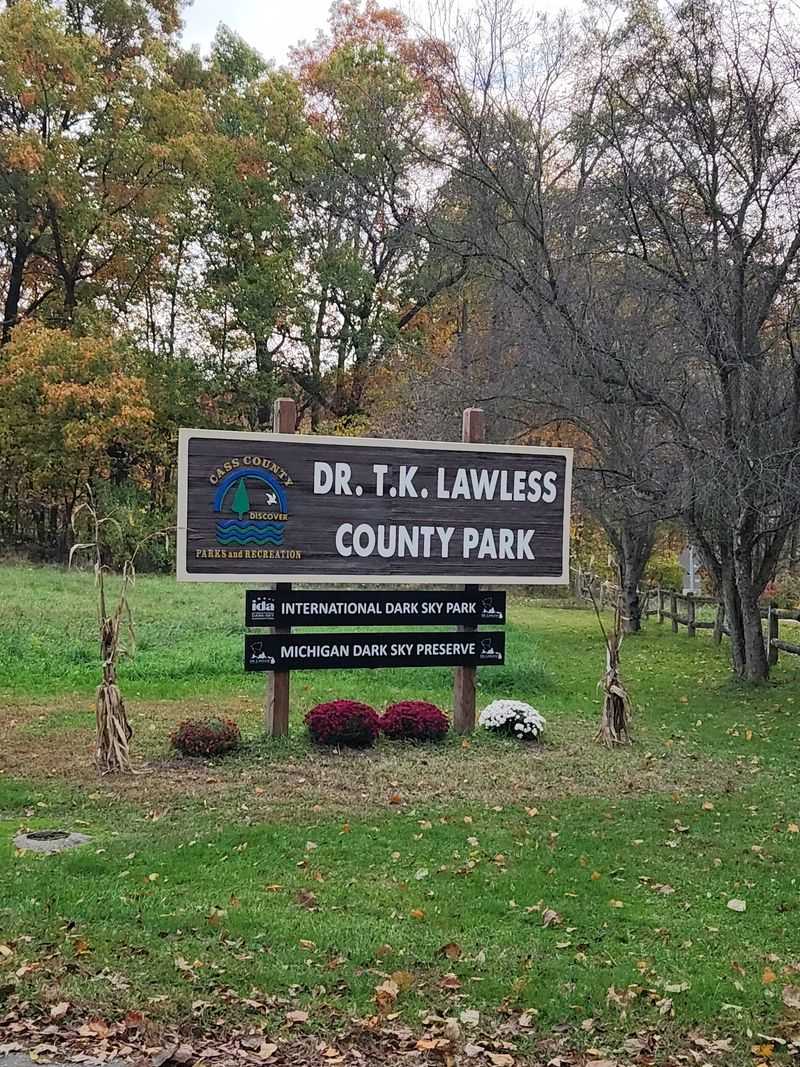
Darkness is an attraction at Dr. T.K. Lawless Park, not a signal to leave.
The 820-acre Cass County property holds International Dark Sky Park recognition, making scheduled nighttime programs a memorable match for its daytime woods.
Visitors can explore hiking and mountain biking routes, play disc golf, or return during winter for cross-country skiing and tubing when conditions and programs allow. Because park hours and dark-sky events vary, checking the county’s current calendar prevents an unfortunate arrival at a locked gate.
Cass County sits in southwest Michigan, where blacklegged ticks are well established. Day hikers should use repellent and complete checks before sunset, while night visitors benefit from a bright flashlight and closed shoes.
Never rely on darkness to hide a shortcut through vegetation. Stars look best after eyes adjust, so stand still in an approved viewing area and let the sky perform.
12. Fort Custer Recreation Area – Kalamazoo County
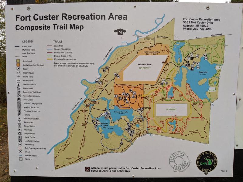
Military history lies underneath an outdoor recreation landscape that now looks surprisingly peaceful. Fort Custer Recreation Area is at 5163 Fort Custer Drive, Augusta, MI 49012, between Kalamazoo and Battle Creek.
The 3,033-acre property includes three lakes, the Kalamazoo River, second-growth forest, prairie remnants, camping, paddling, fishing, swimming, and more than 40 miles of trails.
The land was part of Camp Custer and later Fort Custer, used for military training from 1917 to 1968.
That history creates a safety consideration unusual for a state recreation area: the DNR warns that explosive hazards may remain and tells visitors to follow the “Recognize, Retreat, Report” approach if suspicious military items are encountered.
Stay on designated routes and never handle unfamiliar objects. Kalamazoo County is also shown as known risk on Michigan’s March 2026 Lyme Disease Risk Map.
Mountain bikers, hikers, and equestrians all move through vegetation here, so tick precautions should be routine. Michigan recommends EPA-registered repellent, permethrin-treated clothing or gear when used according to instructions, and careful checks after outdoor activity.
Attached ticks should be removed promptly with fine-tipped tweezers, grasping close to the skin and pulling upward with steady pressure.